
Date: September 8, 2021
Location/Route Map: Kootenay
Elevation: 3161 m
Elevation Gain: 1550 m
Distance: 12.7 km
Rating: Class 2/3 - Easy/Moderate
Notes: Perseverance is all you'll really need to reach the top of this prominant mountain. The western bowl has A LOT of scree!
GPS Track: Download
I remember hiking to Upper Twin Lake in 2016, and seeing Storm Mountain tower some 1000 vertical meters above. As I gazed up the sheer cliff face, guarding the summit, I thought of how cool it would be to stand up there! It wasn't long after, that I learned that a scramble route existed up the back side, and that the dream of standing on the summit wasn't as far-fetched as I initially believed. The scramble route is long however, involving a significant amount of trudging up scree, and five years passed before I decided it was time to make that dream a reality.
-map.png)
Storm Mountain Route Map (see link in desciption - or click here - for interactive version).
.JPG)
From the parking lot, we walked about 700m along the road as described by Kane, and then dropped down into the dry creek-bed running parallel to the highway. We walked back and forth along it for a short distance in each direction, but found no cairn or faint trail...we therefore just headed straight into the bush at an entrance point that looked the least dense. We hoped to eventually meet up with the "faint trail" Kane describes, but as the bushwacking got more and more tiresome. With no clue if we were even close to being on track, we decided to angle in a straight line to the right, hoping to find more promising terrain. There was a creek that looked to lead all the way to the basin below Storm on our map. Wouldn't you know it we found a pretty well travelled trail (pictured) on the left side of the creek (probably the one Kane mentions!) Don't know how we went so wrong before...¯\_(ツ)_/¯
.JPG)
The trail eventually dropped down into the drainage, just before the upper basin, and a view of the long scree slog up Storm opened up.

As we gained elevation, we caught a glimpse of a pretty alpine tarn (a side trip on our return?). Mount Hector peeks over the ridge in the distance.

Mount Whymper rises behind the cliffs enclosing the basin - wouldn't get too close to them...we heard (and saw) plenty of rocks pin-balling down!

A view of what's to come...the route goes left through a weakness in the rock band. The scree on this lower section was a real pain (treadmill scree, but it slid unpredictably and in a very choppy fashion), and I see how step-kicking in snow would be much more pleasant!

As the slope steepend, higher up, the rock (large and small) became very unstable. Put any force on the wrong rocks, and the whole group of rocks, you were on, would start to slide! We tried to stay near more solid rock outcroppings for something to hold onto that was more stable.

Stanley makes an appearance over the cliffs!
.JPG)
Almost on the summit ridge!
.JPG)
The summit ridge is broad and gentle.

Someone's happy :) Photo credit: Dad

Unfortunately smoke rolled in as the day progressed, taking away from many of the views...even so, Ball never fails to make its way onto my camera roll!

Stanley Peak, with the background blurred by smoke.
Chickadee Peak (left) and Boom Mountain (right) in the foreground, Chimney Peak (left) and Quadra Mountain (right) in the midground, with the Valley of Ten Peaks rising behind, and Mount Temple (far right).

Looking down the highway towards the long wall of rock between Rockwall Peak (left) and Limestone Peak (right).

Castle Mountain just visible across the Trans-Canada Highway.
.JPG)
Copper Mountain (left), with Pilot (center-left) and Brett (center-right), barely visible in the smoke behind. Little Copper sits below, center-right.

Looking down towards Lower Twin Lake, and a small circular tarn!

Close up of the lakes!

Upper Twin Lake! Been a while since I was down there, looking up!

Arnica Lake is just visible!

The lid was all that was left of a tube that was likely struck by lightning (looks like Storm Mountain was named accurately)...so I had to be creative! Photo credit: Dad

My dad on the summit of Storm Mountain, with Ball in the background!

Me, also with Ball...not much else to capture with all the smoke!
.JPG)
Summit selfie!
.JPG)
Does your dad wear camo rain pants?...Didn't think so! haha ;)
.JPG)
Summit pano!
.JPG)
Heading back down the ridge.
.JPG)
Stayed closer to the edge on our way down, and discovered this cool glacier below!!
.JPG)
Looks like bits of the snow cornice linger year-round!
.JPG)
Dropping back into the basin. On our way down we started on our right, then angled to the middle, where we had also ascended, and then finished more to the left of our ascent route. I was basically just looking for the best rock for scree-skiing.

Looking back up the upper part of the route up Storm (red - our approximate route up, yellow - our approximate route down).

Back below the cliffs. Photo credit: Dad
.JPG)
We went to check out the alpine tarns!

A picture of me, taking a picture of the tarn!

A bit of boulder hopping granted us a closer view of the second tarn!
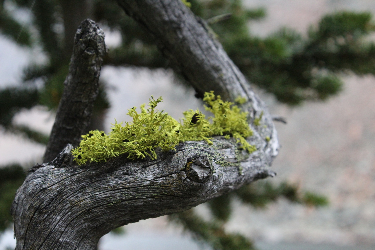
Wolf lichen :)
.JPG)
Making our way around the other side of the first tarn, as rain begins to fall.
.JPG)
A different angle of the tarn!
.JPG)
We exited the cirque via this gully, which led us back to the drainage we ascended earlier.
.JPG)
Back in the drainage.
.JPG)
Hollow tree!
.JPG)
Lovin' the autumn colours!!
.JPG)
Crack in the sky!
On return, we followed the well travelled trail, beside the drainage, until it petered out...we then continued following beside the drainage, and with just a bit of bushwhacking, we arrived back at the creek-bed "parallel" to the highway. This leaves you much further from the parking lot however, and we followed the extremely windy creek, until it eventually had too much water, and we exited to the highway.
Disclaimer