
Date: February 5, 2022
Location/Route Map: Don Getty Wildland
Elevation: 2294 m
Elevation Gain: 1360 m
Distance: 15.3 km
Rating: Class 2/3 - Easy/Moderate
Notes: Easy to moderate scrambling on the west slopes and south ridge. You might want to bring snowshoes if doing this one early season...
GPS Track: Download
Due to the positioning of Wendell Mountain's East Peak, it caught my attention as being a scramble that may remain a scramble (not drift into the mountaineering category) right through the winter! Unlike mountains deeper in the heart of the Rockies, front range peaks "benefit" from strong winds and warmer temperatures that often leave their ascent slopes almost completely bare! It was for this reason, that when avalanche danger rose to considerable in the alpine, I decided we'd try something without snow (and therefore without avalanches!). Unfortunately, Wendell East Peak has quite a significant approach, ascending over Yamnuska Shoulder, before losing all that elevation down to the valley on the other side. Aside from the initial slope up to Yamnuska, most of the route is hidden from the road, and therefore unknown. After lugging our snowshoes on our backs for the majority of our ascent of McConnell Ridge/Yates Mountain and Engagement Mountain the week prior, and the initial slope looking mighty bare on this day, I made the decision to save our shoulders, and not bring snowshoes on this trip...Let's just say I won't be making that mistake again!!!

Wendell East Peak Route Map (see link in desciption - or click here - for interactive version).

Starting up the road that would soon intercept the trail up to Yam Shoulder (yellow sign ahead).

The early morning sun breaks through the trees.

Yam's impressive south cliffs bask in the sun!

Another sunrise shot :)

Looking back as we gain elevation. Yates Mountain sits center, with Old Baldy Peak rising distant right, and Mount Baldy distant left!

Easily following the well packed Yamnuska trail. See, who needs snowshoes?...

Beautiful morning views down the valley!

This is such a sweet angle of Yam!! I love how it looks so out of place...like a massive rock on a hill!

Yet another incredible view of Yam as we circle around to its backside!

Upon reaching Yam Shoulder, we continued up the trail, following the ridge to the west until we reached this junction to CMC Valley. Looks like this trail's not so popular...

Our objective, Wendell Mountain East Peak, rises on the opposite side of the valley as we start down the other side of Yam Shoulder. Here, we would have to lose almost 200m, before reascending on the other side...Still a long ways to go!

As we descended the CMC Valley "trail", we initially came across the odd ribbon, and fading tracks from a previous hiker. We soon realized that we had lost the trail (if there was one to begin with), following the previous tracks through some (at times) vicious bush!

We soon reached the bottom of the valley, and aimed for the base of the cliffs on the opposite side, hoping to explore Nugara's scenic route.

After crossing the short creek on a log (didn't trust the ice with the loud bubbling sounds beneath!), we followed along its north side for a short distance...My dad's face really represents the fun we are having! LOL

With the snow at the bottom of the valley becoming unbearable, I quickly decided to head up the other side of the valley, aiming as directly as possible for the cliffs above. Please let there be some bare rock up there!!

Okay okay! I'll admit it!...We definitely should have brought snowshoes along...This sucks!

My dad enjoys following the path that magically appears in front of him!

The end is in sight!!!

Somehow the snow just kept getting deeper, as if trying as hard as it could to prevent us from escaping it!

Al...most...there...! Photo credit: Dad

WE ARE FREE!!! My dad traverses to the west, on scree slopes below the impressive cliffs guarding Wendell East Peak! I am not looking forward to going back...

Looking along the base of the cliffs to the unique pinnacles we were aiming for (bottom left).

Many chutes (like this) through the daunting wall of rock, looked like they could present scramble routes...if only they led all the way to the bottom!

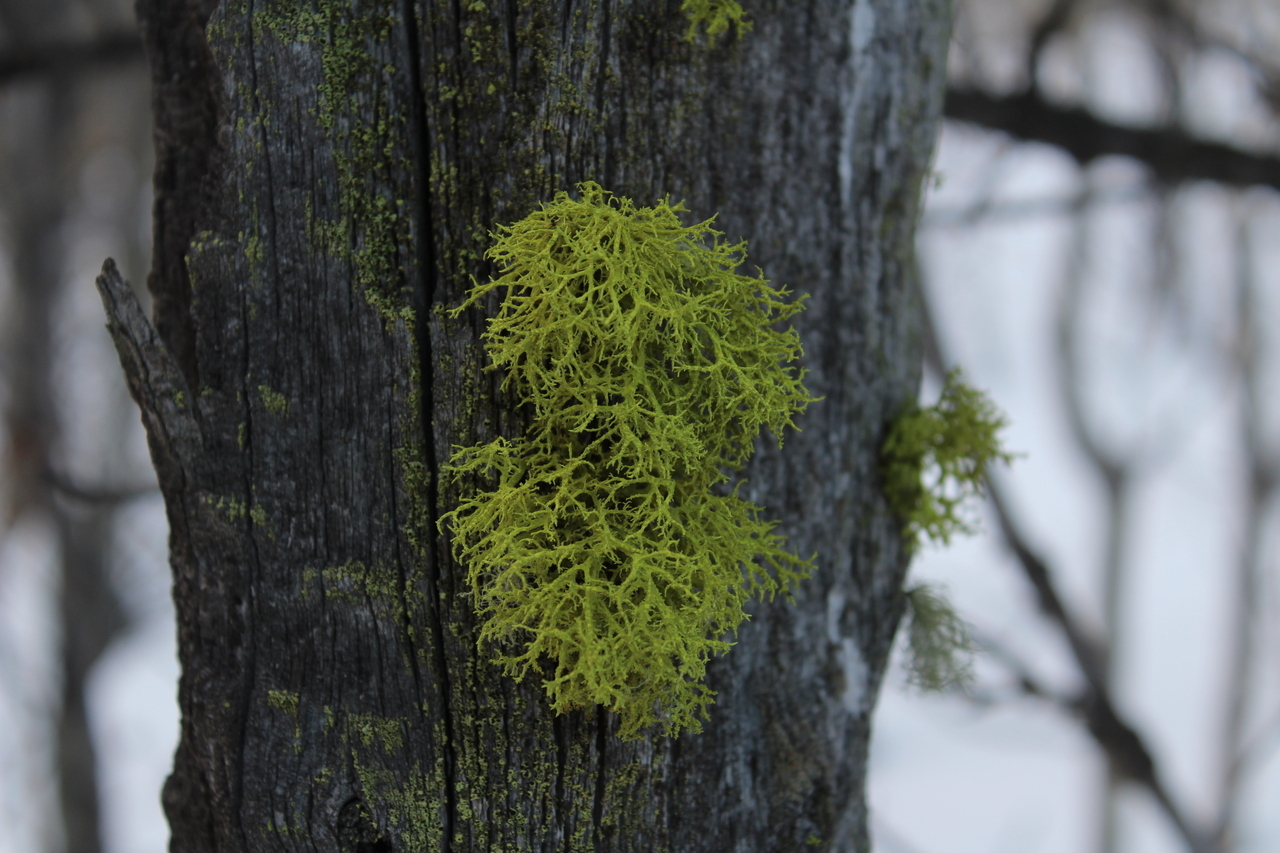
A touch of green, amidst shades of grey.

Easily continuing west, below the cliffs.
Looking back as we approach the pinnacles! PS. Check out those interesting clouds!

How does a rock this big even get here?!?!?

Gazing up, from within the grouping of pinnacles!

My dad captures me descending from the pinnacles, representing their sheer size! Photo credit: Dad

Continuing around to Wendell East Peak's west ascent slopes. The snow on the traverse was extremely wind-hammered, and we were grateful to have microspikes!

On to the scramble route up the west slopes.

We opted to scramble up some slabs to climber's right, but easier terrain does exist by traversing further left. Ascending to the left would take you up awful treadmill scree (great for descent!), so although it may be easier technically, it sure won't be mentally!! The terrain we were on, was itself fairly straightforward, but the wind was howling, and it was quite unnerving to have a strong gust come and throw you off balance!

Looking up to the next set of slabs.

The views continue to impress as we gain elevation! From left to right, Goat Mountain, Old Fort Peak, Morrowmount, and Mount Wendell!

Scrambling near the top of the second set of slabs. Unfortunately, the "solidity" of the rock degrades here, and we were forced to ascend slabs now covered in loose scree.

After the slabs, it's a scree slog up to the next obstacle.

The slope ahead. From here, we ascended up to the edge of the ridge (climber's right), before traversing the slopes to climber's left, towards the cliffs guarding the summit ridge. As you scramble your way up these slopes, you'll want to aim for the arrow I've drawn here. It shows where you have to traverse below the cliff band, in order to easily gain the summit ridge. I knew there was a critical traverse we'd have to complete, but was constantly questioning if we were passing it...We continued to route find our way up however, and were eventually blocked by a wall of rock. It became obvious we had reached the traverse, as traversing was the only option!

Hey we're at the top of the chute! Yup...I definitely take back what I said below...Even if it didn't cliff out, this chute looks way too steep for a scramble route!

Looking ahead from the ridge.

As we approached the cliff band, I opted to take a more direct line, scrambling up some downsloping slabs (moderate scrambling here)...

...While my dad tried a route to climber's left, along a patch of snow.

Looking up the remainder of my route, leading up to the traverse.

At the base of the cliffs, looking back at the traverse. My dad's route ascended along the snow, followed by traversing the slab (could be quite dangerous if snow covered), while my route skipped the traverse, ascending just left of this picture and the slab.

A short traverse to climber's right grants easy access to the summit ridge!

Starting out along the ridge.

Travel along the ridge was easy and straightforward, and soon the summit came into view (center)!

Looking back down the ridge, towards Yamnuska (left) and Goat Mountain (right)!

Wow! I've never seen a skyscraper from a mountain before! Downtown Calgary rises from the flat prairies (very very distant center)!

My dad reaches the summit of Wendell Mountain East Peak!

Looking across to the corniced Mount Wendell itself!

Association Peak stands out, rising to the north, as I join my dad on the summit! I wonder if there's a scramble route up this side...? End Mountain rises beyond.

Summit selfie!

Incredible view of the front range peaks!

Mount Townsend, one of the higher front range peaks, rises center, with Epic Tower jutting out from the ridge to the left!

Check out that cave in the cliffs to the north! This peak appears to be unnamed, but kinda looks like mini Devil's Head!

Big Sister juts out in the distance, over a collection of lower, front range peaks! Gap Peak (point at the end of the ridge) sits below-left, and Old Fort Peak rises in the foreground, more left!

Comprehensive view of Kananaskis, over the col between Mount Yamnuska and Goat Mountain! Twin Towers rise above Grant MacEwan Peak, which rises above little Engagement Mountain in the midground (center-right). Old Baldy Peak sticks out center, with Fisher Peak rising beyond, and Mounts Denny, Potts, and Evan-Thomas stack up to create the significant ridge distant right! So many mountains there that I want to climb...

Mount Fable's rounded summit peeks out over Morrowmount's south ridge!

Looking down to Mount Yamnuska's backside which grants easy access for scramblers, contrary to what Yamnuska's highway side suggests. Every angle of Yam is so different!...But this is definitely one you don't see every day!

All three (four if you count Wind Mountain) peaks of Lougheed stand out in the distance, with Mount Sparrowhawk rising beyond peak 3! Mount Bogart pierces the sky (distant-left), between Mounts Collembola and Allan!

Cross Peak (left) and South Ghost Peak (center), with Saddle Peak rising distant right!

Quite the drop off the west side of the summit...

Me, on the summit of Wendell Mountain East Peak, with Orient Point rising distant center!

My dad, with the distant Saddle Peak!

So much "flatness"!

Retracing our steps down the summit ridge.

Looking back as we near the traverse. Photo credit: Dad

My dad takes a picture of me, taking a picture of... Photo credit: Dad

...the slab/scree slopes that are waiting for us.

Easily departing the summit ridge on its south end.

Approaching the slab traverse. This time I would follow my dad across it, and we would descend a route different from both of our previous ascent routes.

Descending scree to skier's right of our ascent routes.

A look at my dad's (red), and my (yellow) approximate ascent routes for the last section up to the summit ridge!

NO WAY! We found the rock from The Lion King!

Beautiful evening lighting on Yam!

What in the world are you doing over there buddy!? I thought you didn't like slabs...LOL

After each choosing different routes through the terrain above, we eventually joined back together, and traversed to skier's left to take what looked like an incredible scree run (just to the right of the slabs we ascended earlier) the rest of the way down...And boy was it a beauty!

Looking back up, as we traverse below the slabs. I was hoping this snow patch would make for an enjoyable glissade...but unfortunately it was so windblown it may as well have been ice! Danger danger!!

The farmland colours of the prairies stand out in the distance, as we traverse below the cliffs, back to the pinnacles.

As we retraced our ascent route below the cliffs, we couldn't help but look at the bare patches on the west end of Yam Shoulder, and wonder if they could save us from some of the snow suffering of our ascent route. After waffling between the two routes, we finally gave in and decided to try something new, hoping for the best! Here are our approximate routes to and from Yam Shoulder (red - ascent, yellow - return).

We made a quick visit to the pinnacles once more before heading down. This one looks kinda sketch...like it's gonna fall any second!

This bare ridge was the landmark that we set as our target from afar, and marked the beginning of our route back up the south side of the valley.
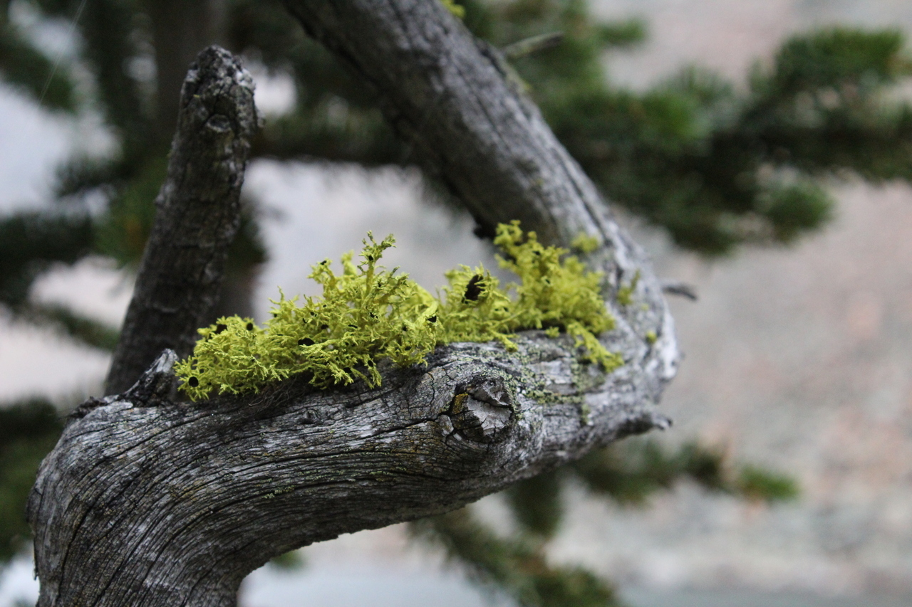
Wolf lichen 4.0...The series continues! (1.0, 2.0, 3.0)

Looking back at our tracks down the opposite side of the valley, as we gain the bare ridge.

Old Fort Peak, silhouetted as the sun begins to set.

Last bit of sunset glow on Wendell East!

After the short stint of bare ridge, our promising route took a turn for the worse, and we were breaking trail through knee deep snow, without snowshoes (again!) :(. A little while later we emerged to this more open patch of forest however, and enjoyed some snow-free hiking! :)

...But that also soon ended, and we were back to this :(.

Zoomzoom! If only I could zoomzoom through knee deep snow!

Well that sucked...

We finally reached the bare, grassy hills we were eyeing from the other side of the valley! I can't say it was worth it...

Ooh! Pretty! Luckily, once on the open hills the hard work was over, and we simply followed the pleasant, bare grass up to Yam Shoulder, before descending the well packed trail down the other side.

A bright crescent moon lights the way! Although not bringing snowshoes (my bad) really added to the length of this already lengthy trip, it was fun to get my hands on some rock again completing our first "official" scramble of 2022!

First time experimenting with some astro!
Disclaimer