Date: June 28, 2022
Location/Route Map: Kananaskis Valley
Elevation: 2832 m
Elevation Gain: 1720 m (360 m from Collembola)
Distance: 18.3 km (including Collembola and Olympic Summit)
Rating: Class 3 - Moderate
Notes: Moderate scrambling to overcome a cliff band along traverse from Collembola to Allan. Otherwise it's easy. Allan can also be reached via its north ridge along the popular Centennial Trail.
GPS Track: Download
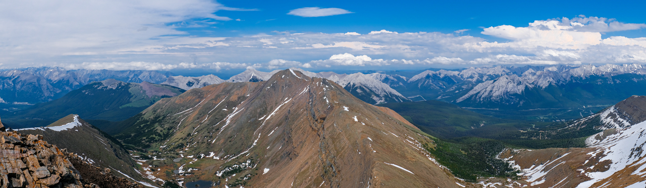
After summiting Mount Collembola, Allan was the next peak in line for our traverse! While Allan can be as easy as a hike via the Centennial Trail, the connecting ridge from Collembola is noticeably more of a challenge. A significant cliff band must be overcome en route, and requires route finding and moderate scrambling...But I personally found that quite enjoyable :)!
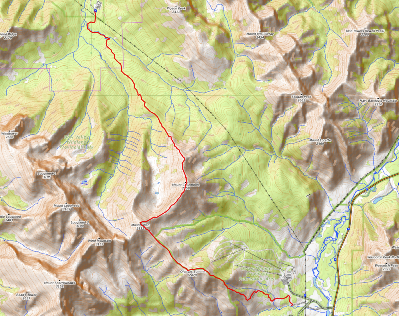
Collembola, Allan, and Olympic Summit Traverse Route Map (see link in desciption - or click here - for interactive version).
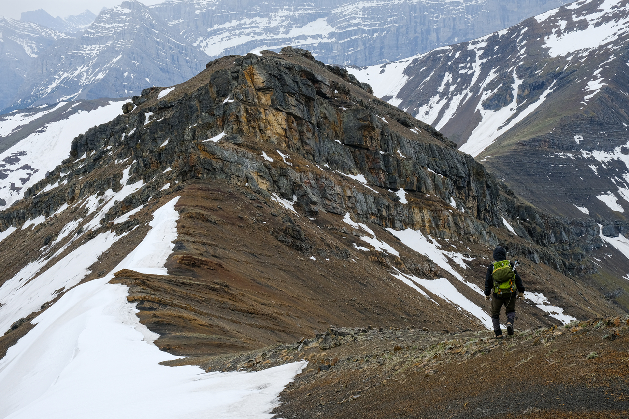
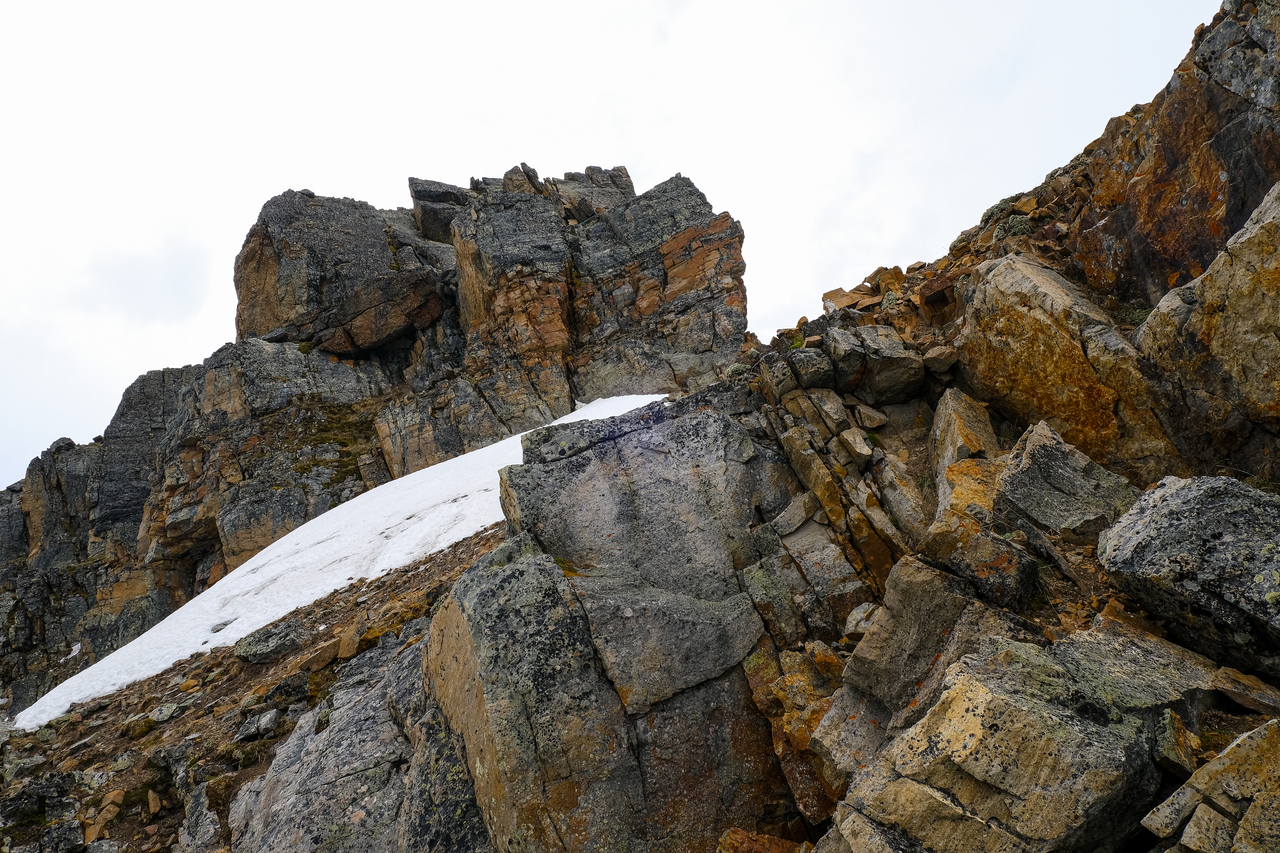
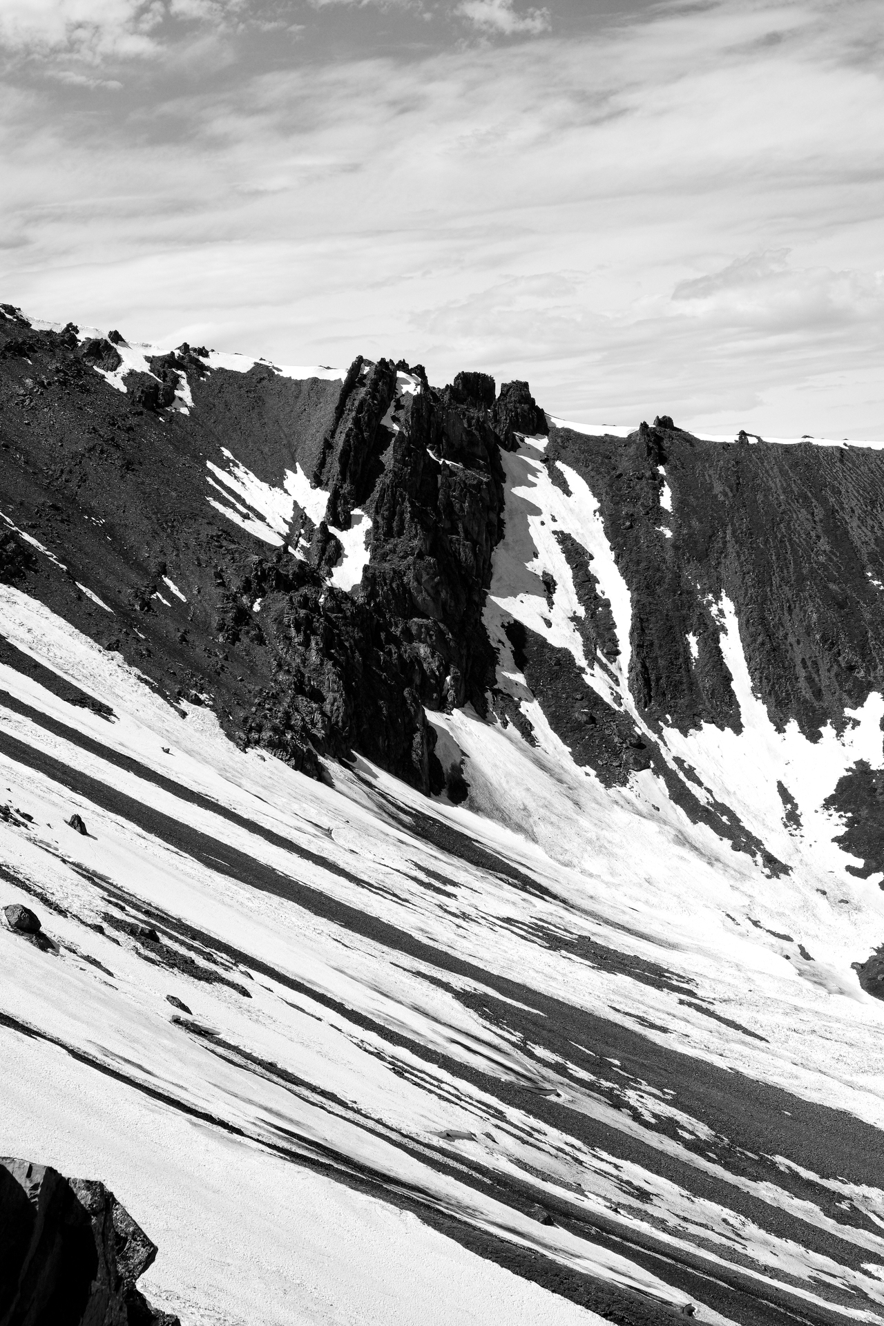
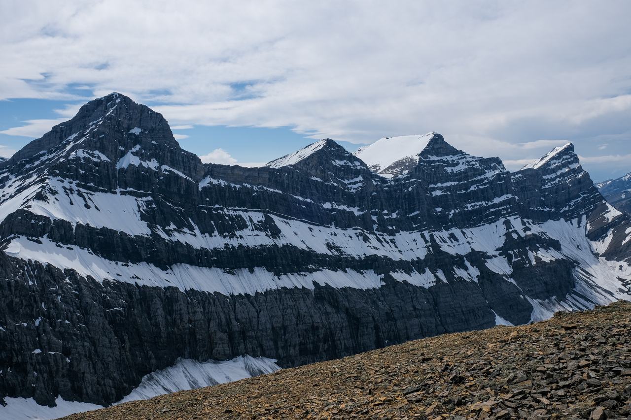
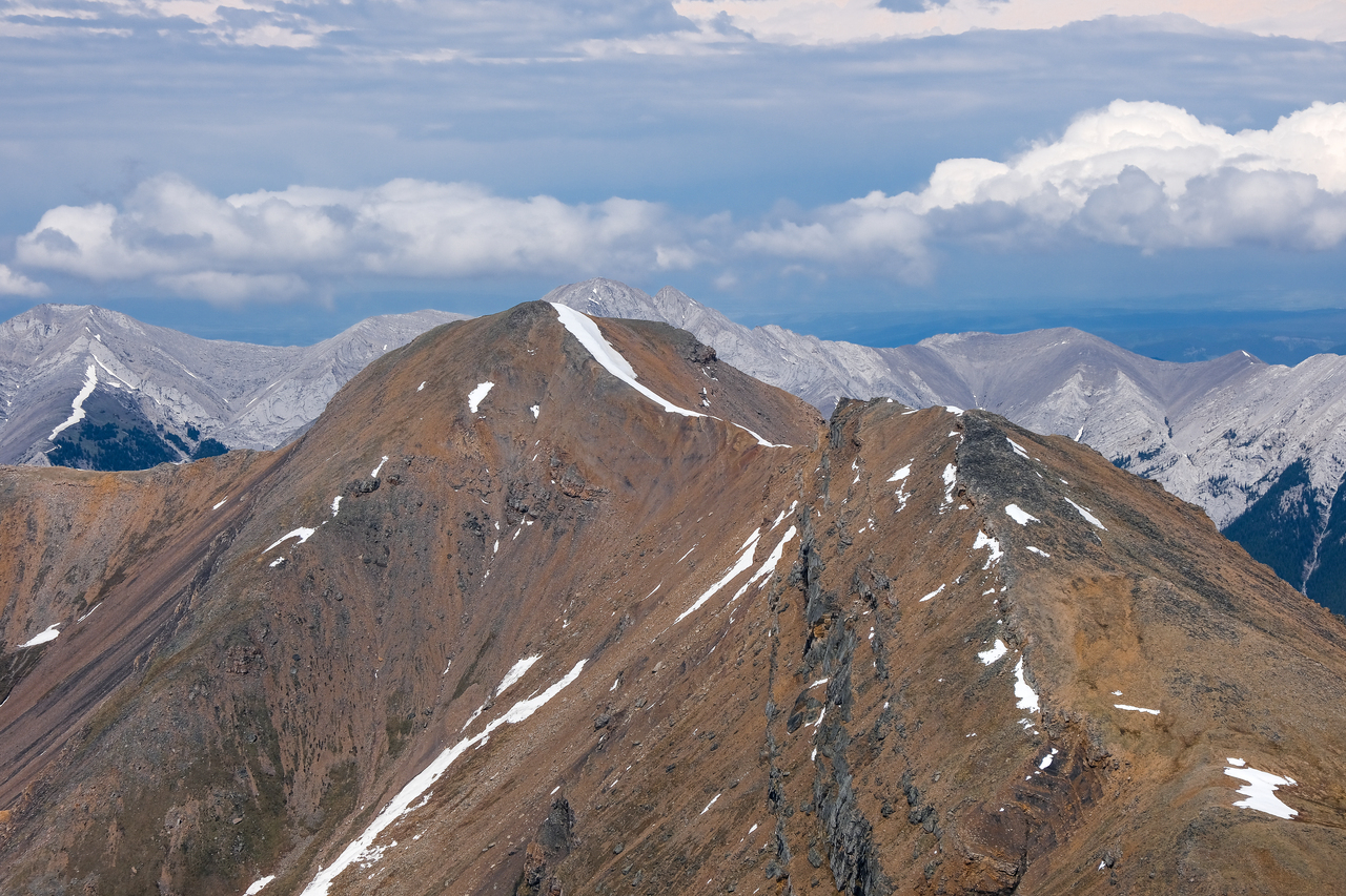
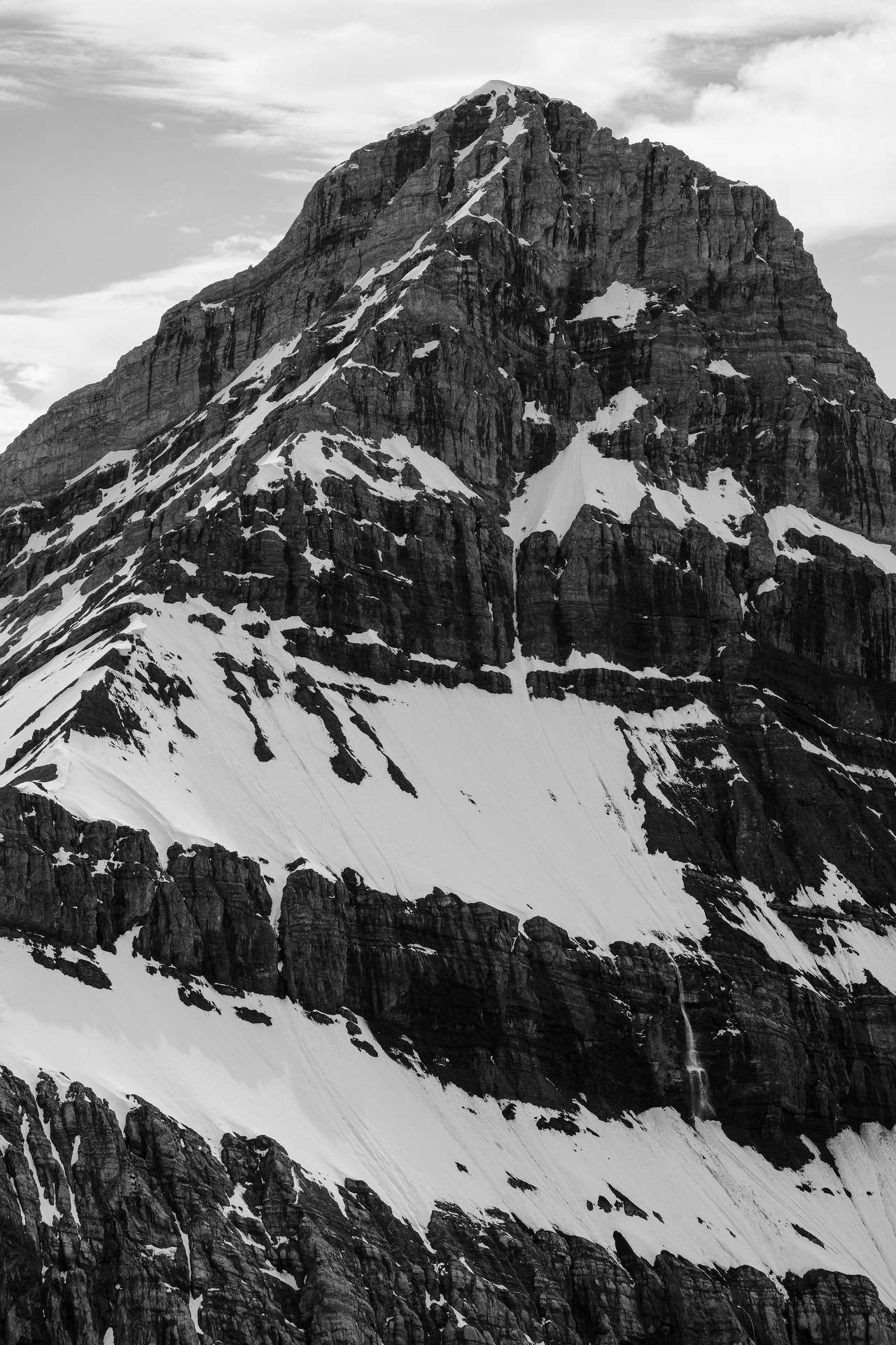
Leaving Collembola's summit, as we start down the connecting ridge to Mount Allan. Note the cliff band, not far off.
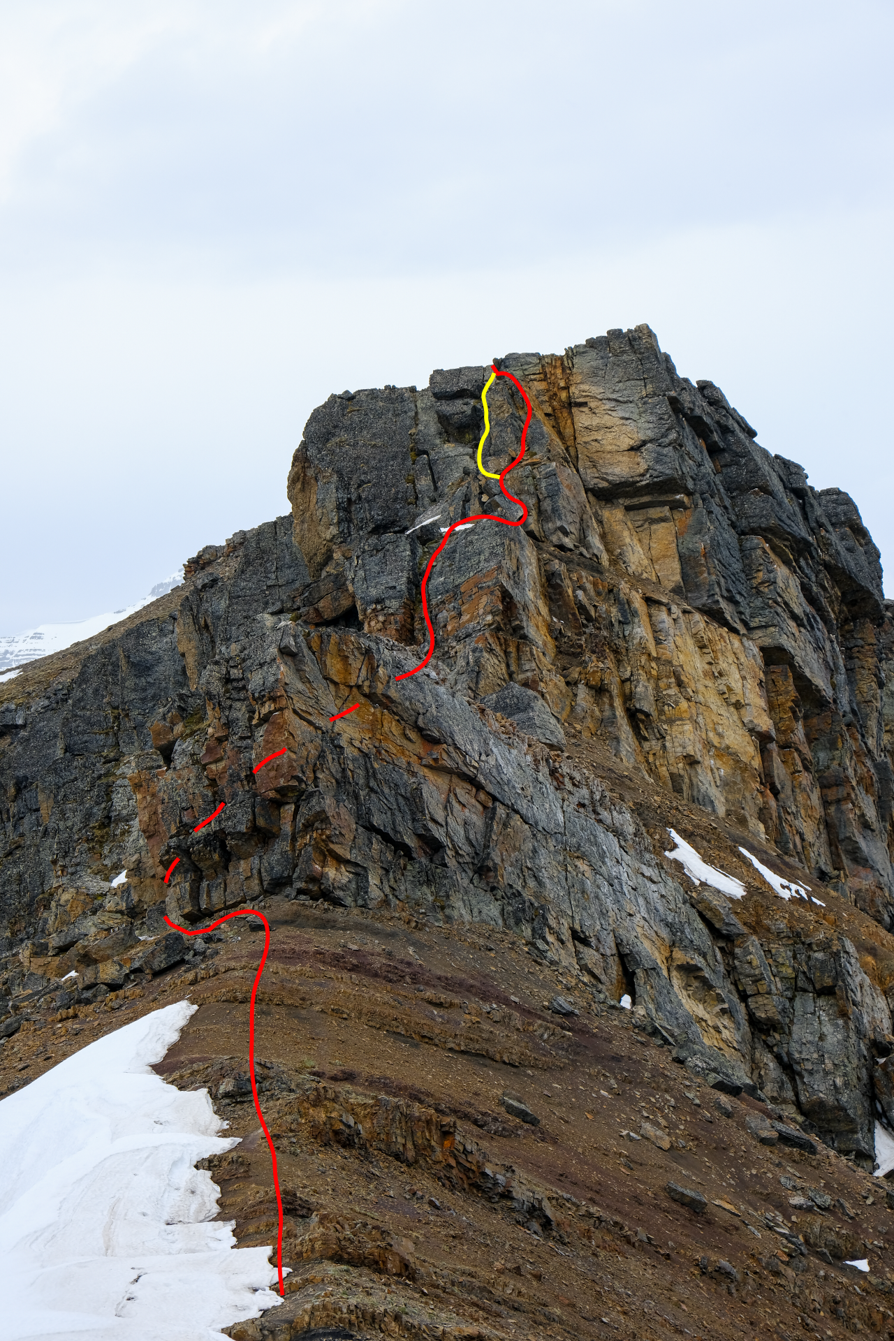
The approximate route we would take up the rock band, with my route in red, and my dad's variation in yellow.
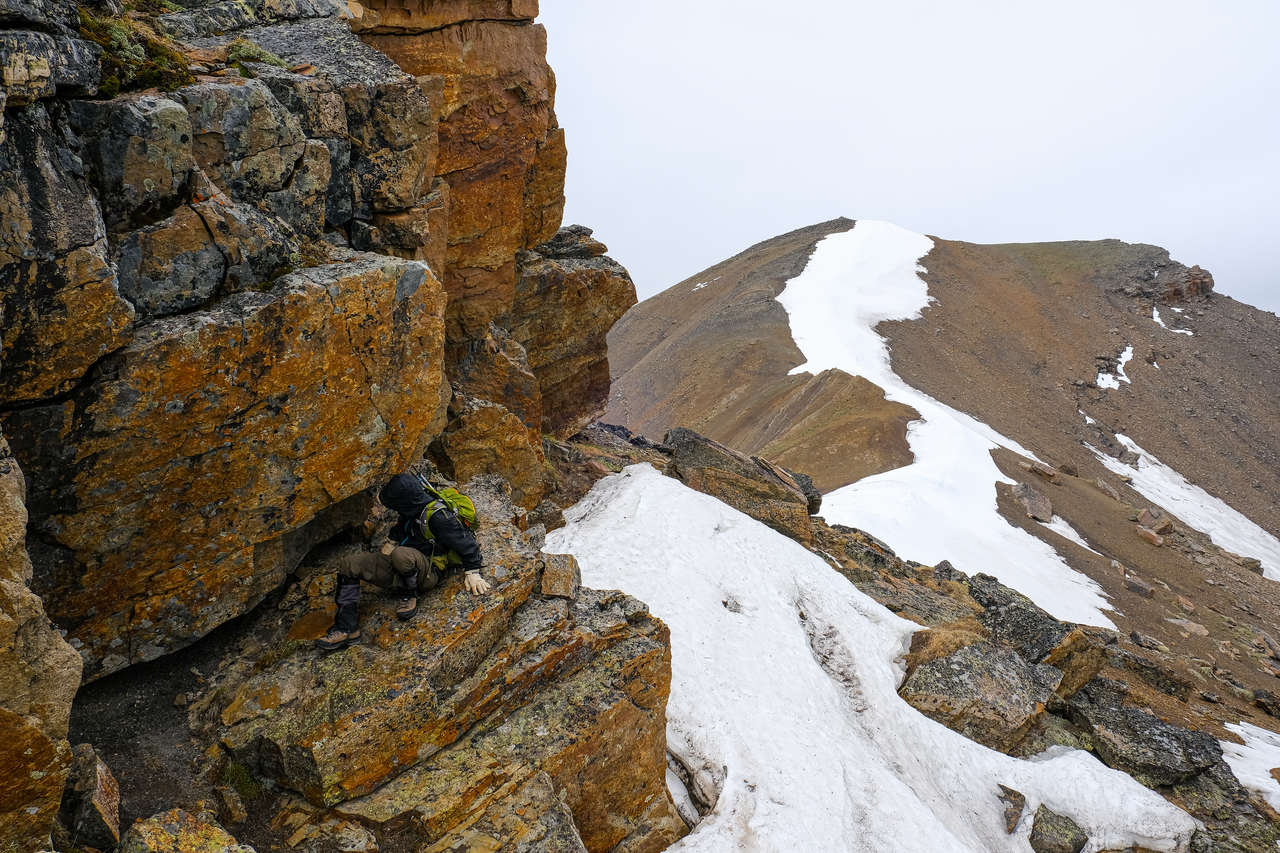
We began by traversing around the first rock outcropping, to climber's left, in search of a weakness. Lingering, icy snow made this a little more tricky than it could have been!
We're in luck! Soon encountering a weakness, we easily scrambled back up to the ridge crest.
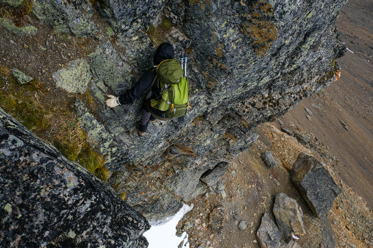
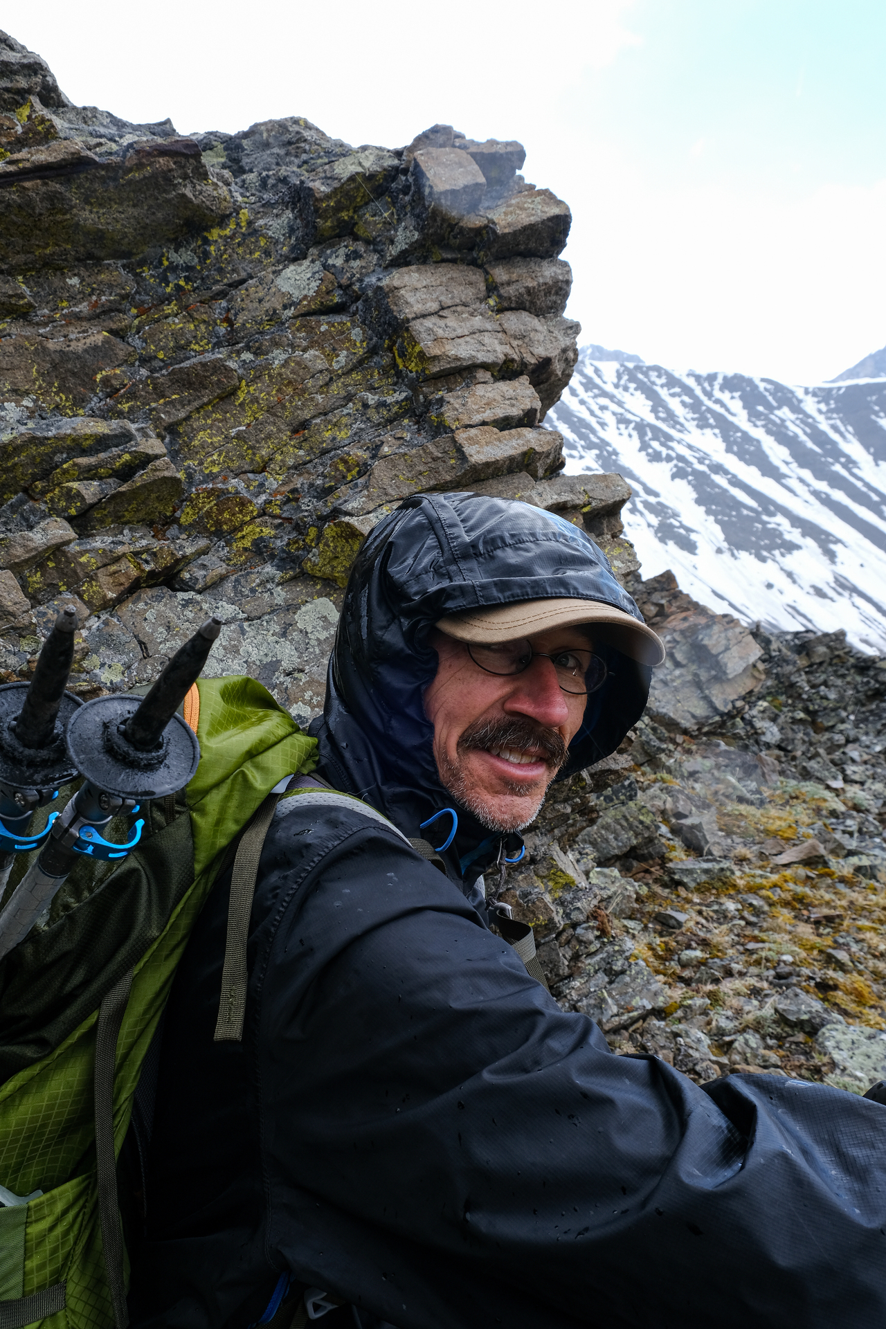
For the next step, we scrambled straight up a steep weakness in the center. I would consider this step the crux. The rock was still slick from the rain, and the exit is a bit awkward, with limited holds other than mossy patches that you don't necessarily want to commit to... Photo credit: Dad
My dad makes the awkward exit.
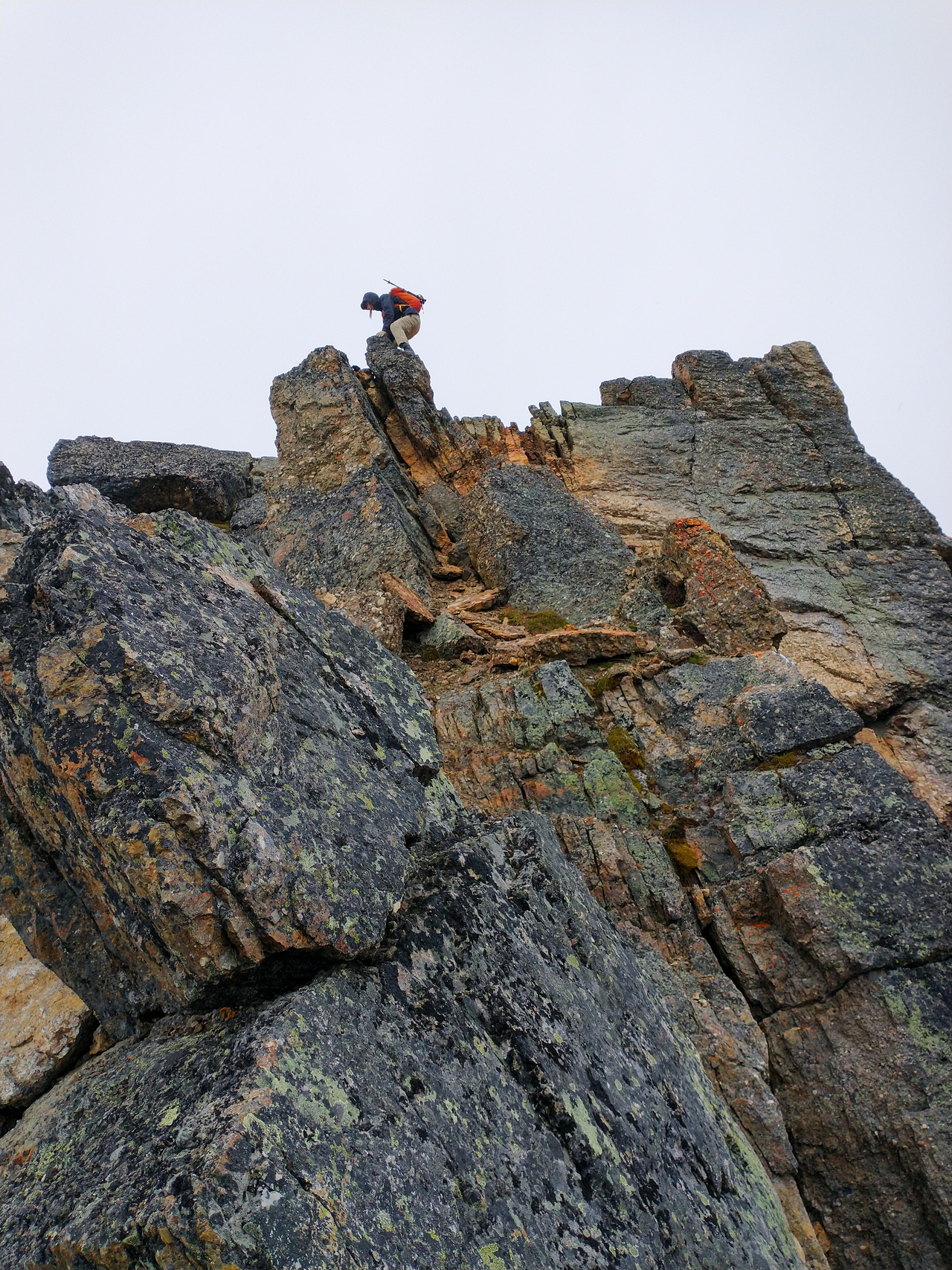
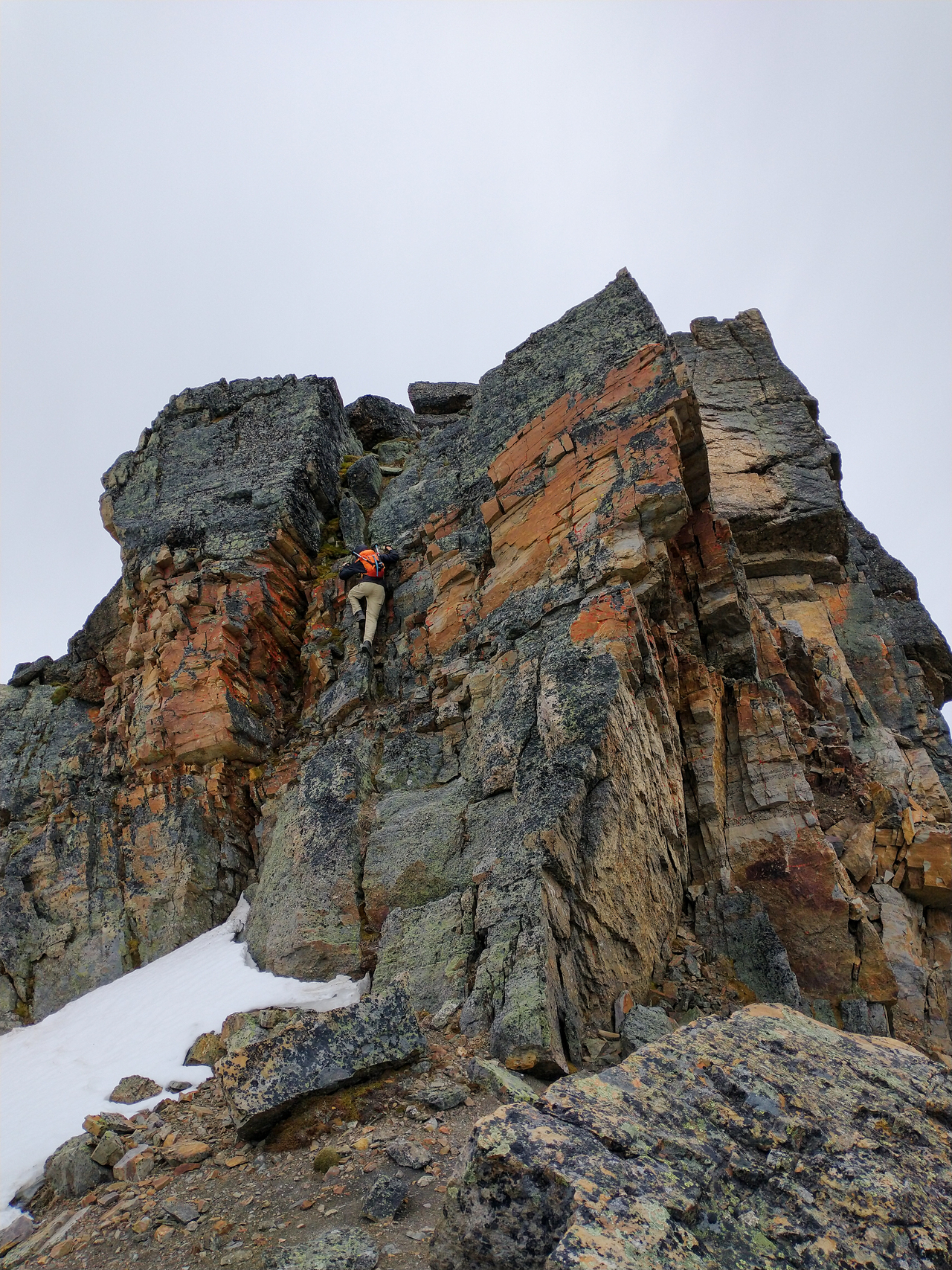
For the final step, we found a short weakness to climber's right, from which I continued straight up and along a narrow, exposed, orange "fin". Photo credit: Dad
Looking back down the "fin", with my dad starting up the initial weakness below (center).
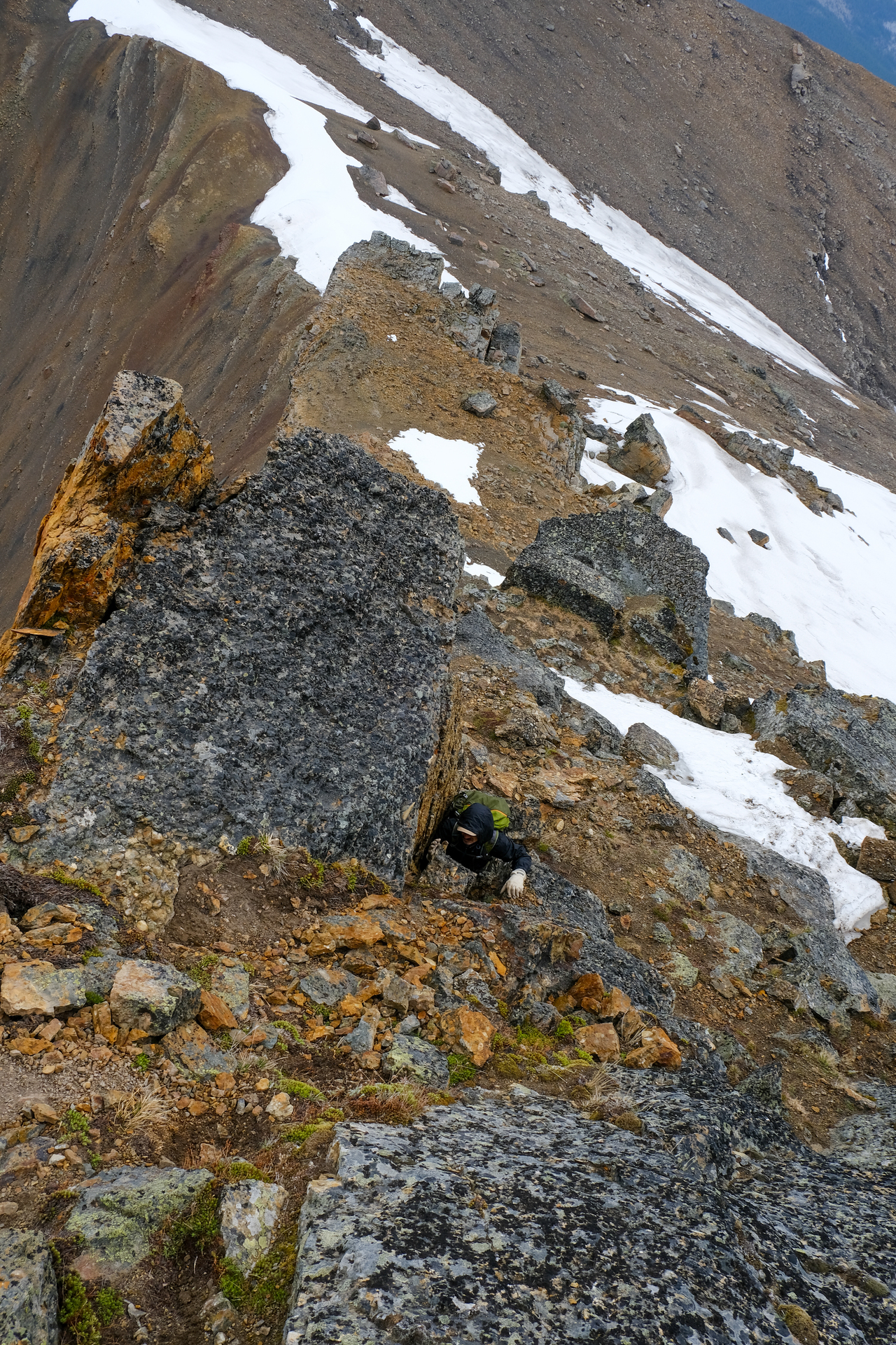
After the initial weakness, my dad decided to take a different route to climber's left, avoiding the exposed "fin".
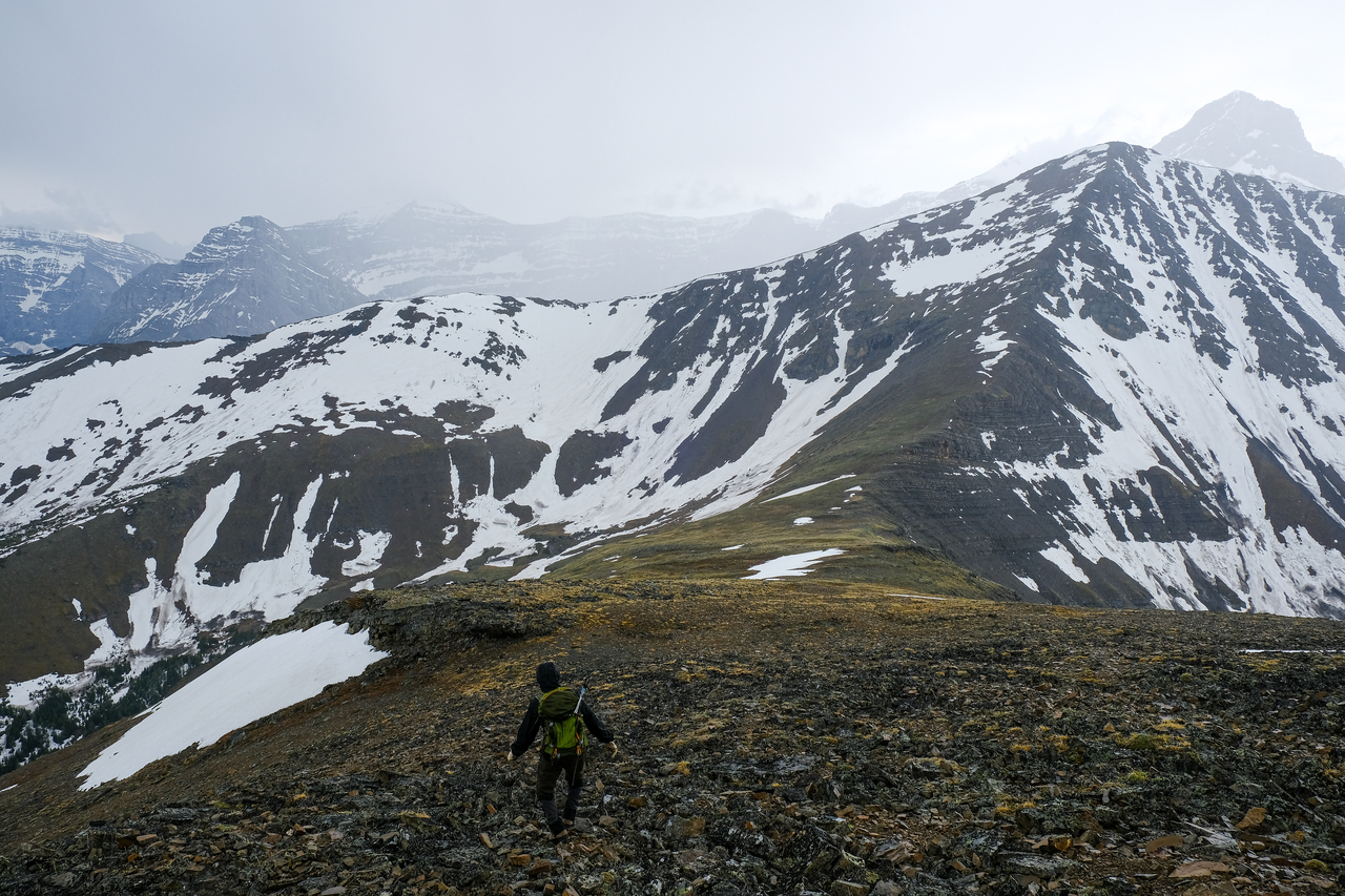
Storm 2.0!! As we finished off the rock band (not a moment too soon!), and started down the ridge to the low col before Mount Allan, the wind picked up, and the rain came pouring down for the second time!
After spotting some rocks jutting out near the col, we started full-on running to get some shelter! The wind was blowing so hard that the rain was almost moving horizontally, and even with no overhead coverage, this convenient rock outcropping almost completely protected us from the rain!
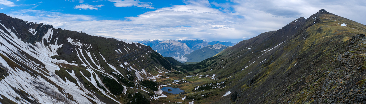
Looking down to Jubilee Tarns in the cirque between Allan and Collembola. Luckily this storm was (once again) short lived, and after a few minutes, the sun came out, and we were able to continue on our way :).
Front range scramblers, it's your turn! We got the sun now :)!
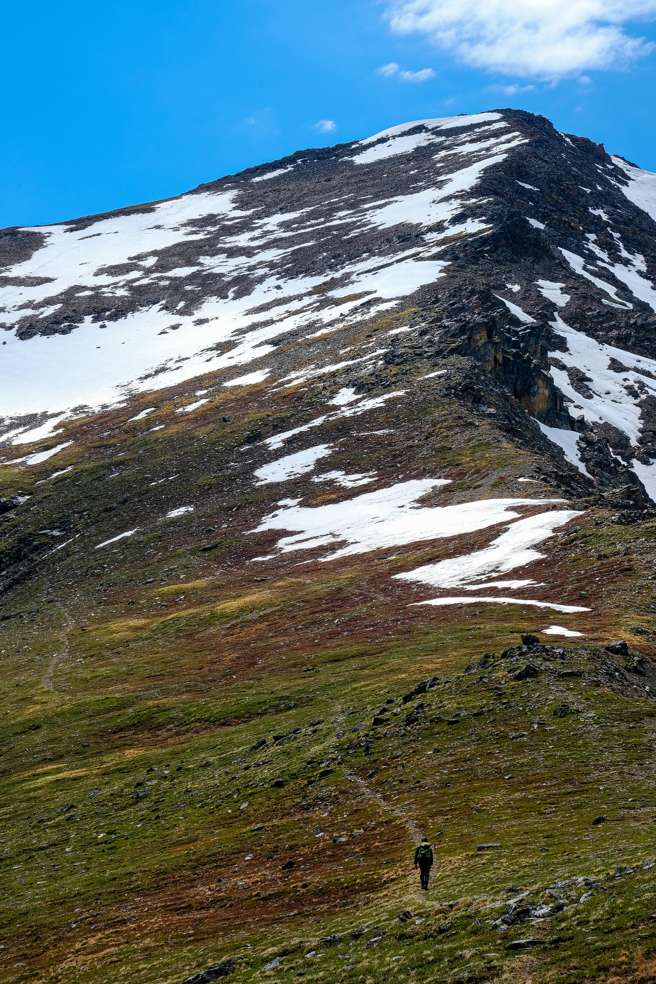
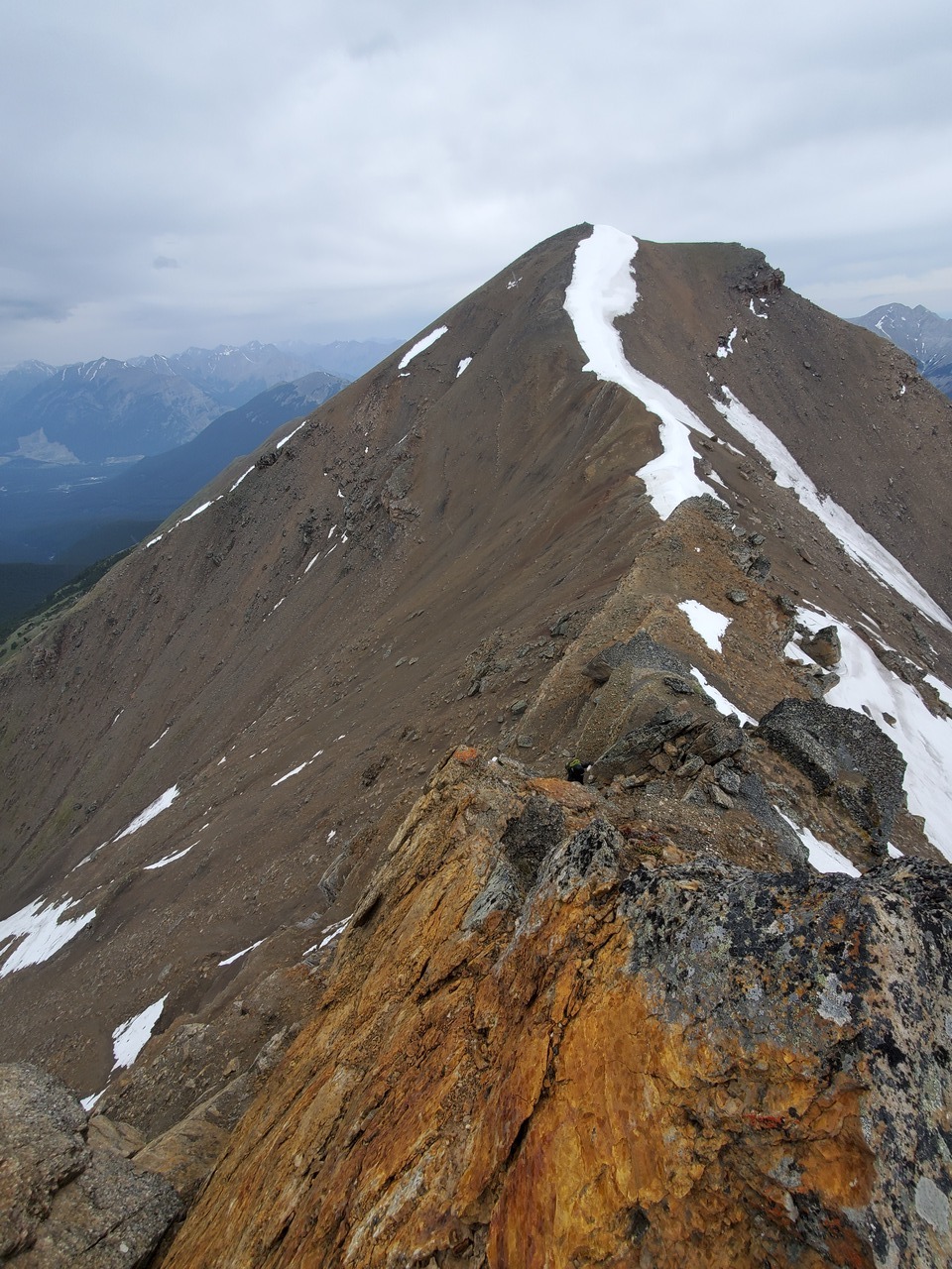
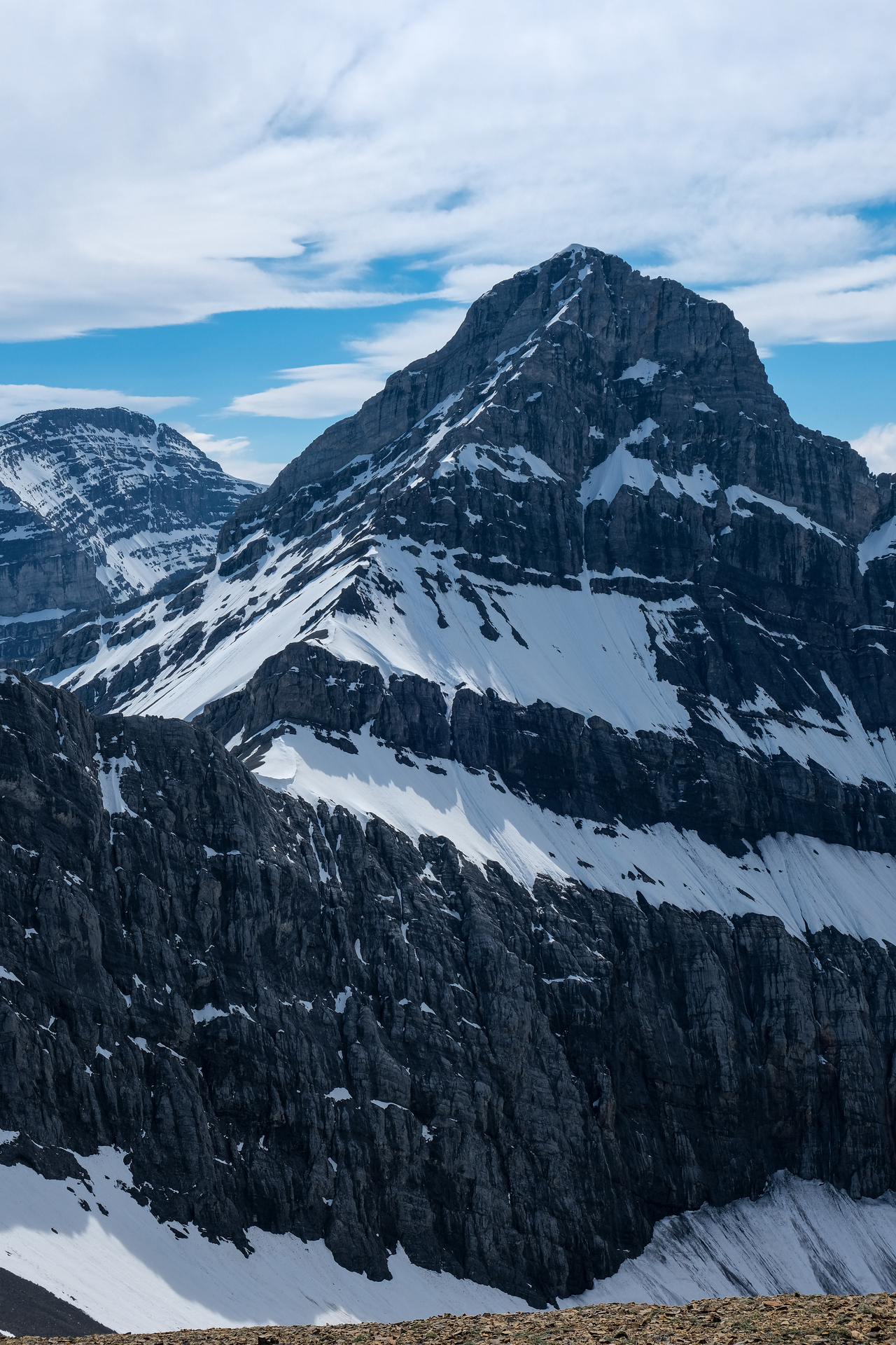
Approaching the final ascent up Mount Allan!
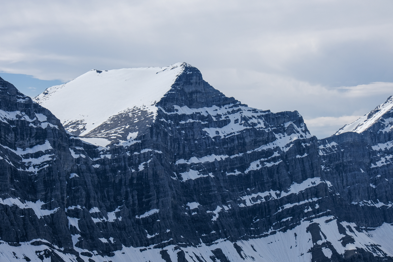
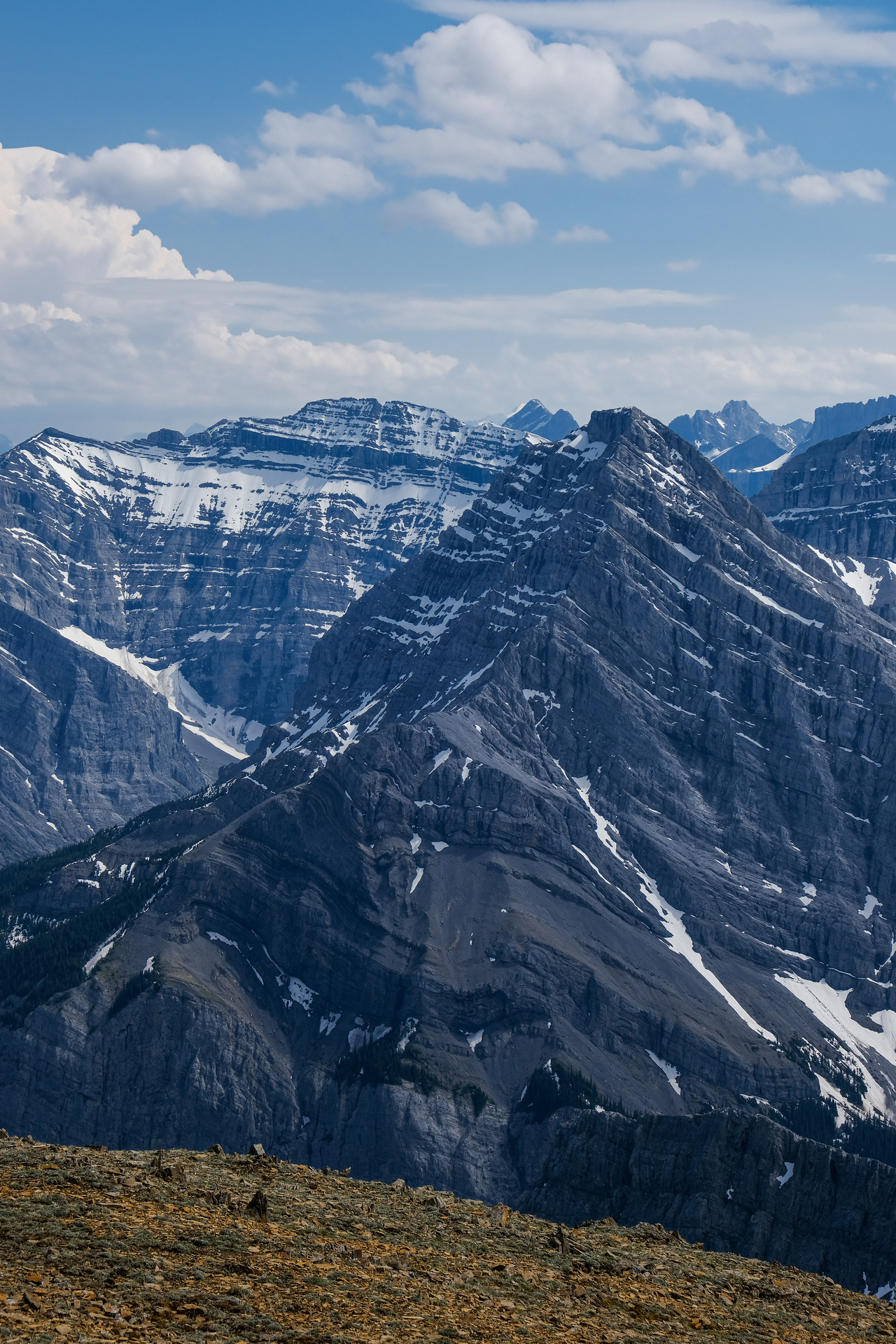
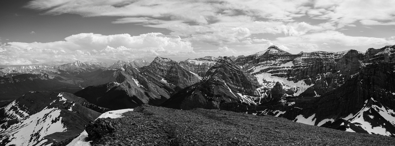
Neat rock formations across the cirque.
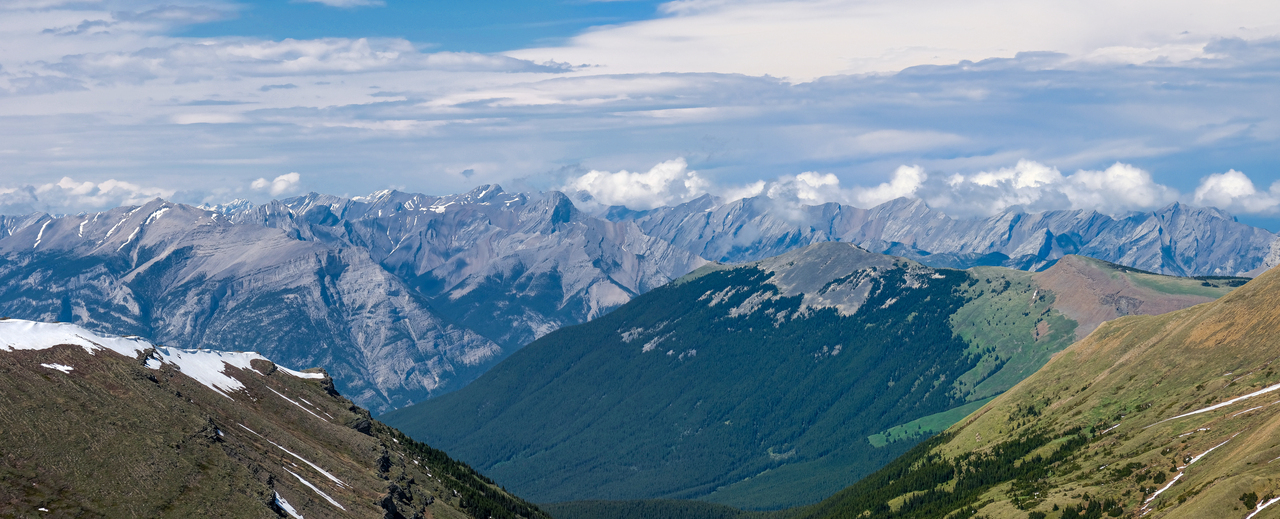
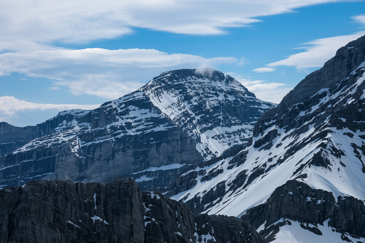
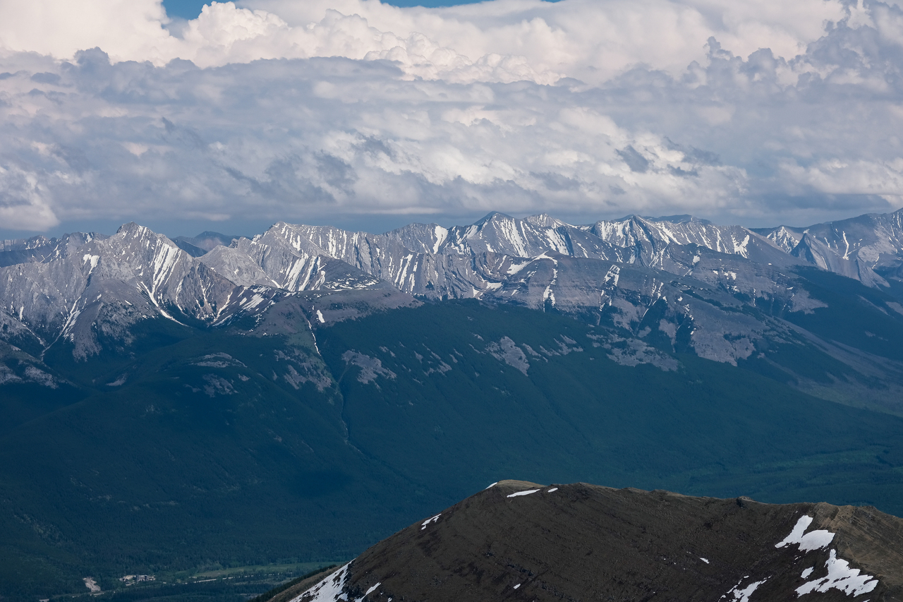
Grotto, Townsend, and Fable (all on the left side of the frame) are some notable peaks that stand out from the pack to the north.
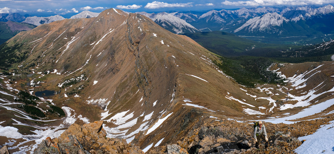
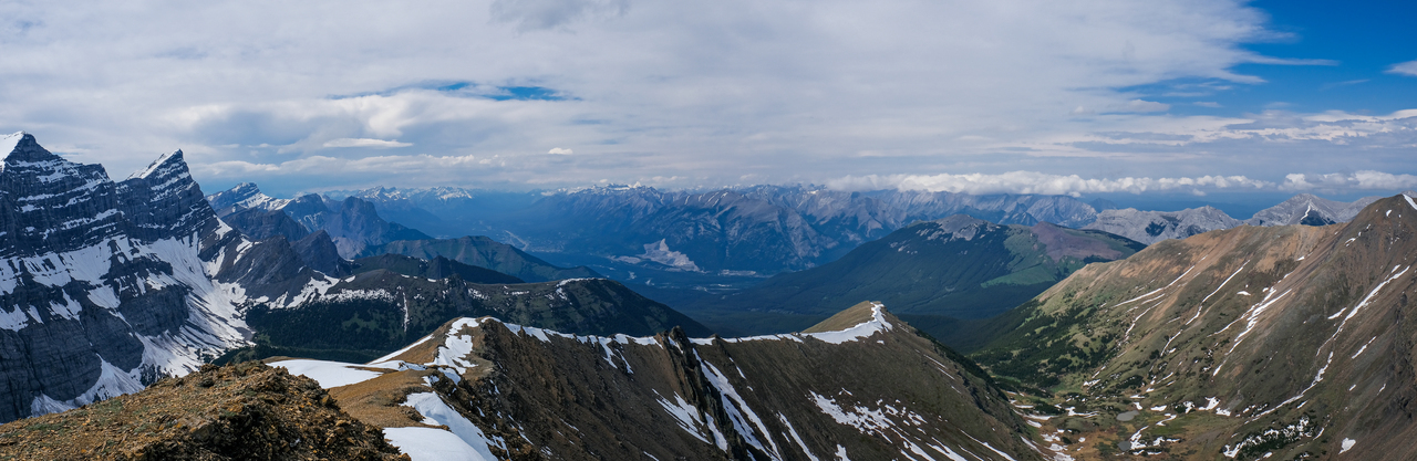
Looking back down the ridge, as we near Allan's summit. While I didn't know what to expect for this final section, it turned out to be extremely straightforward! We easily followed the ridge up rubbly slopes right to the summit.
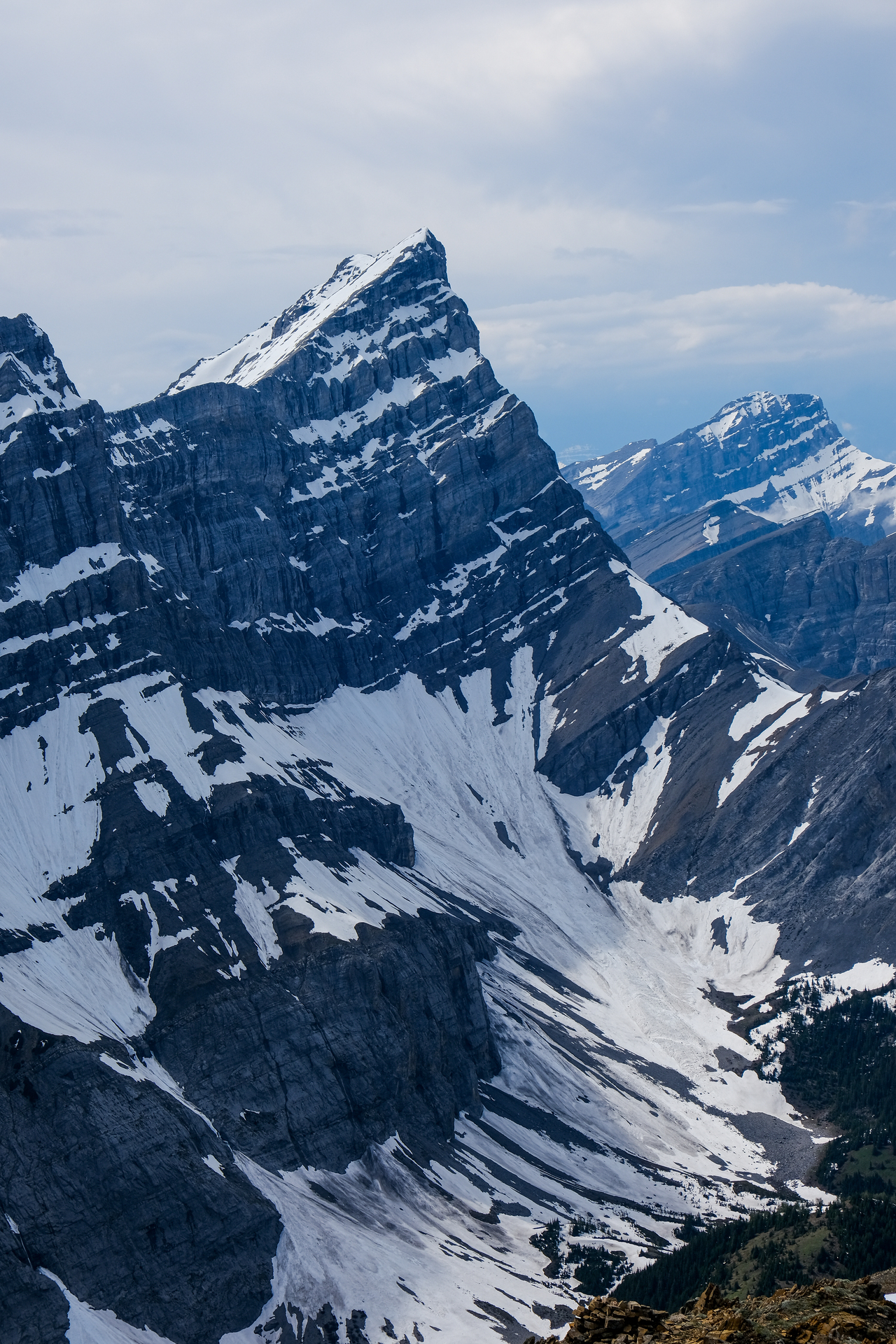
Lougheed 1 is so impressive!
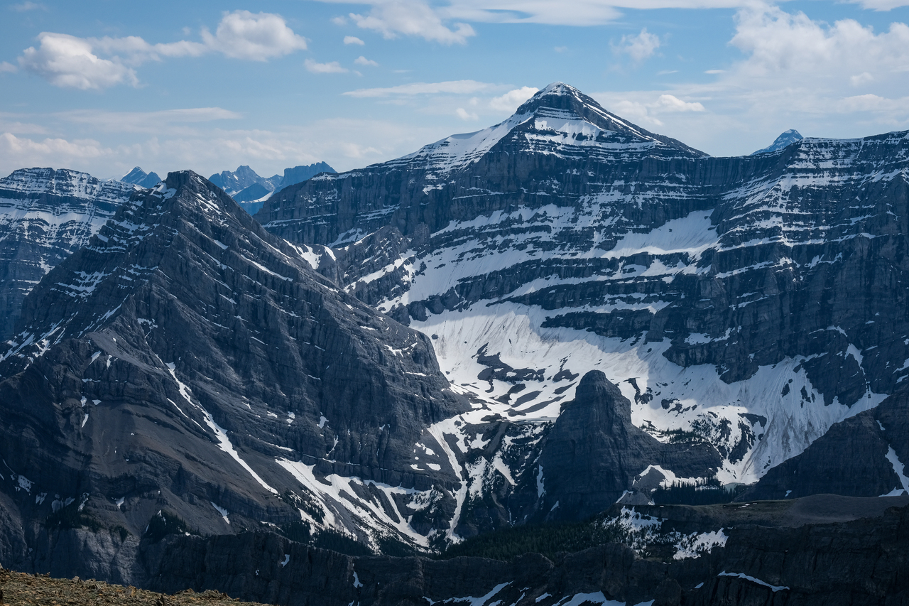
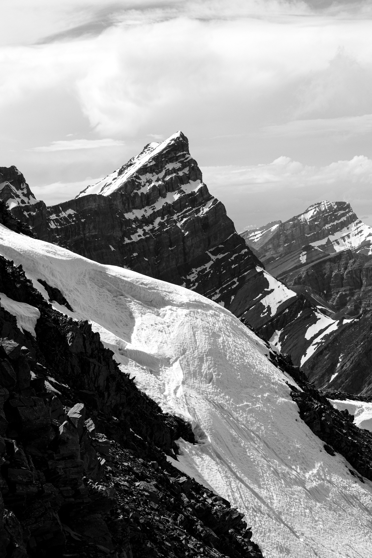
As we topped out on the summit of Mount Allan, we were rewarded with this stunning view of Lougheed's entire east face! Usually blocked out by the mountain we stand on now, this was quite the sight!
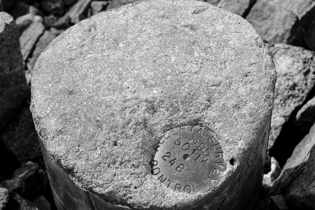
Not much of a cairn...no summit register...just this survey marker on the summit ¯\_(ツ)_/¯.
Wind Mountain (aka Lougheed's fourth peak) is a mountain I've been wanting to scramble for a while, and this view makes me want to even more!
Lougheed's official summit still has quite a layer of snow on it!
Mount Bogart towers high above Bogart Tower and Memorial Lakes, with Ribbon Peak to the left.
That's a unique angle of Sparrowhawk!
Kidd, Kidd South, Ribbon, and Bogart impress to the south, with tiny Bogart Tower bottom-right.
A closer look at Kidd South and Ribbon Peak.
The sun highlights Mount Kidd, with the height of the Opal Range, Mount Evan-Thomas, rising in the distance (left).
Blue skies, looking back to Collembola!
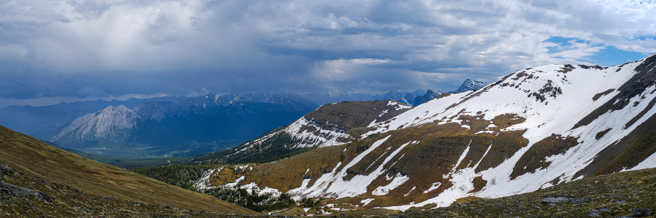
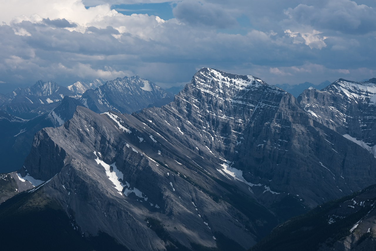
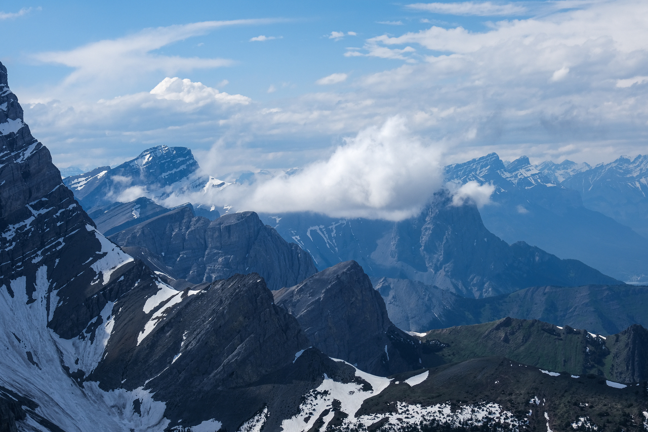
Incredible, cotton candy storm clouds loom over Old Baldy, McDougall, and some other unnamed peaks across Highway 40!
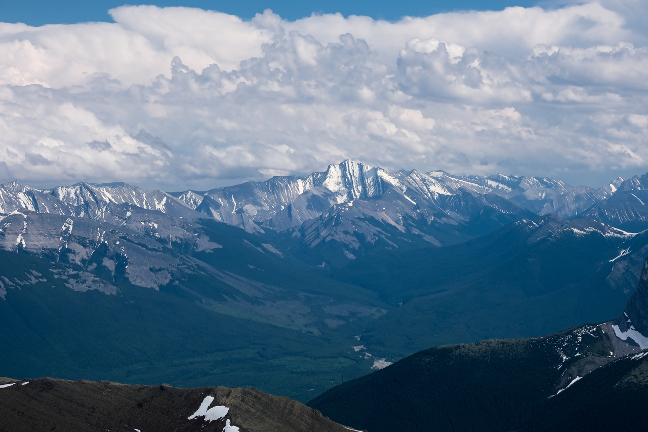
Fisher Peak is also visible in the distance.
Looking down the ridge that sports the Centennial Trail hiking route.
Zooming-in to where we came from (p.s. it's not just a hike 😂!)
Lougheed 1!
A mini cloud blocks out two of the Three Sisters.
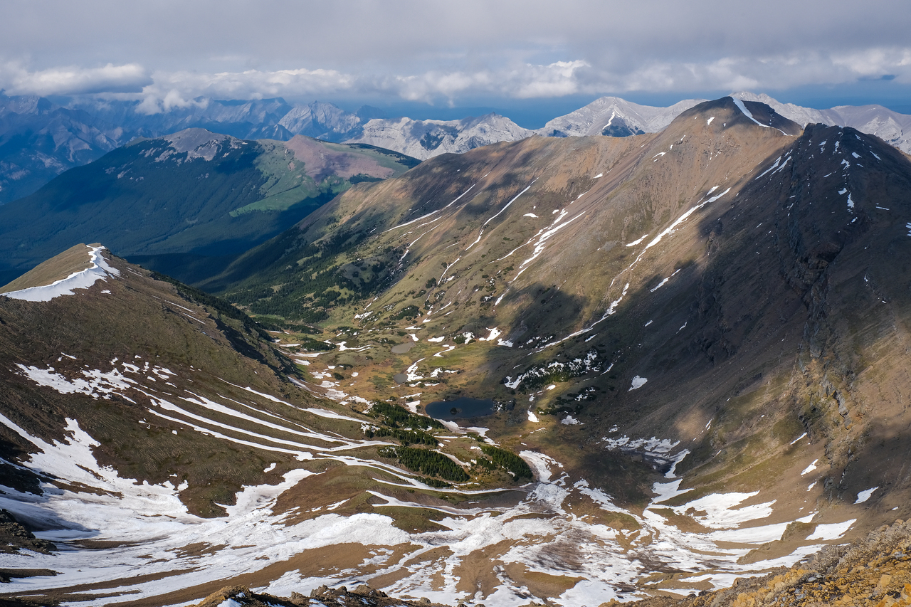
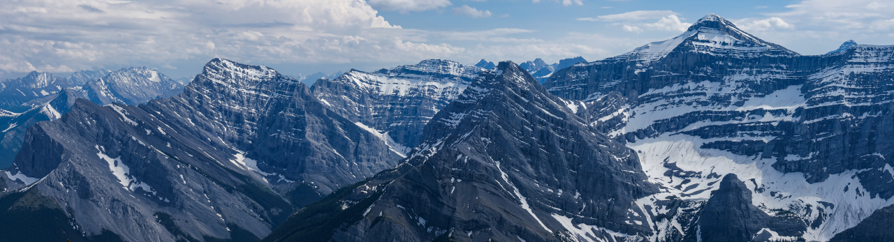
Neat overview of the cirque between Allan and Collembola!
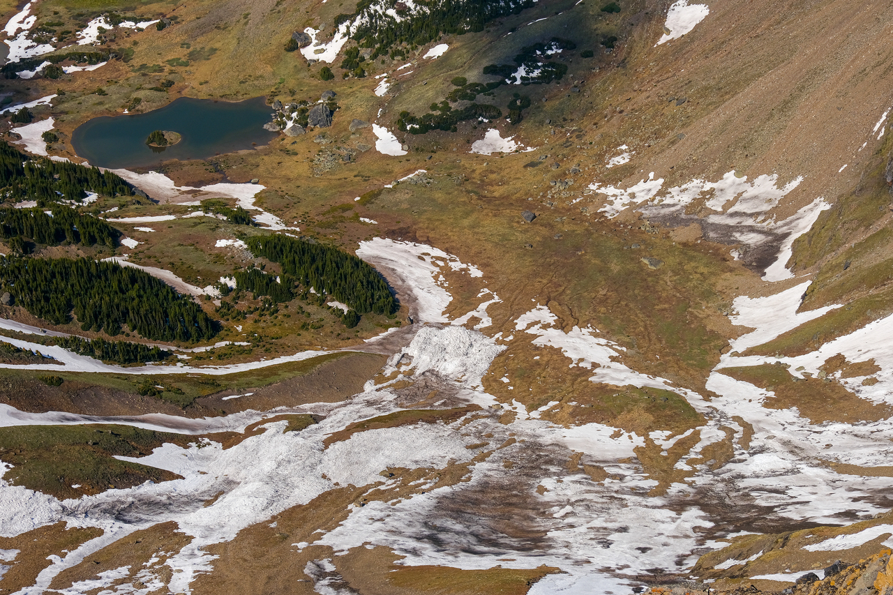
A closer look down to avalanche debris from recent slides!
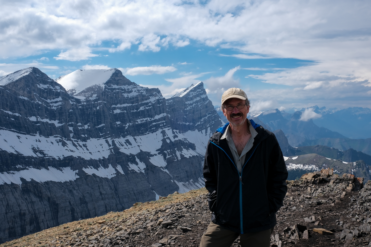
My dad, with Lougheed's east face rearing up in the background.
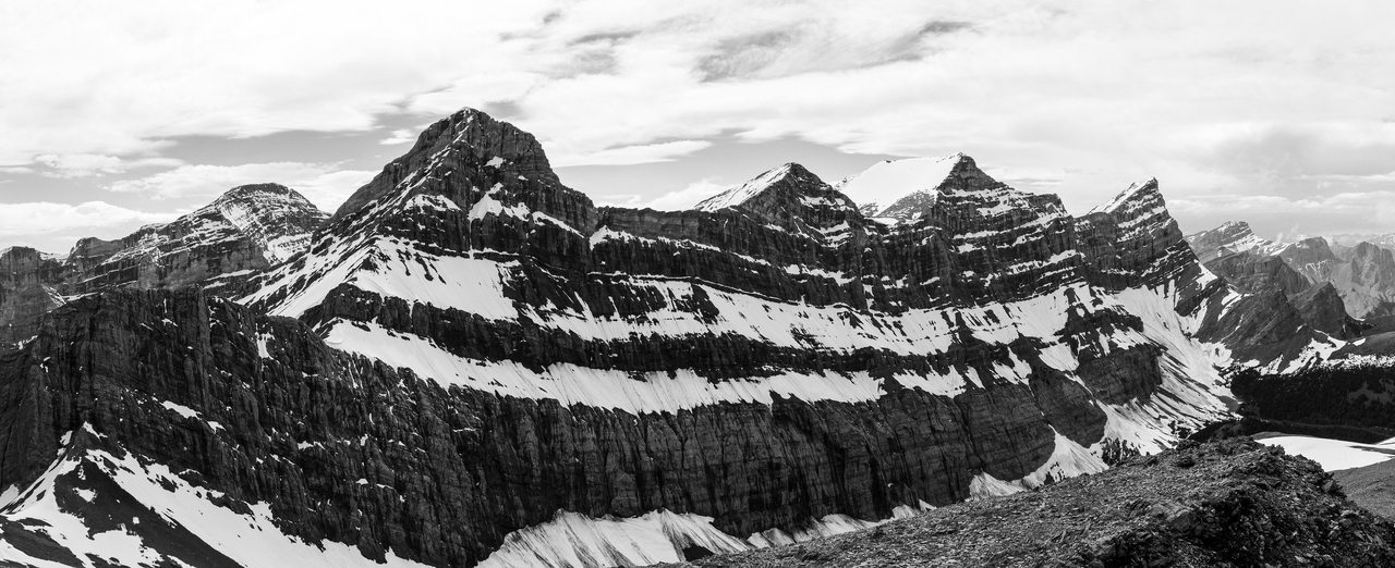
My favourite view of the day! What a stunning face of rock!
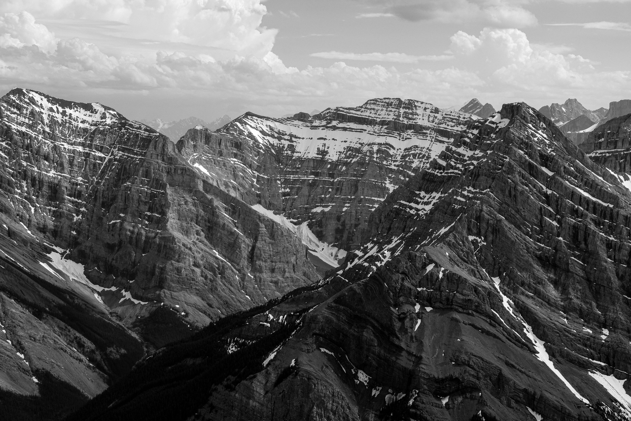
Kidd, Kidd South, and Ribbon.
Absolutely incredible, in-your-face view of Wind Mountain! Note the mini avalanche bottom-right.
Given the gift of good weather at the highest point of our day, we made up for our short summit stay on Collembola, and spent a good hour soaking in the sun on Allan's summit. The weather was calm, and it was a beautiful place to relax after a wet, stormy morning. We still had a significant distance to cover however, and eventually had to pick ourselves up and finish the traverse towards Olympic Summit.
Disclaimer