Date: April 10, 2022
Location/Route Map: Kananaskis Valley
Elevation: 2173 m
Elevation Gain: 620 m
Distance: 5.8 km (including Limestone Ridge)
Rating: Class 3 - Moderate
Notes: A quick n' easy, close to the road scramble with some enjoyable scrambling on solid rock.
GPS Track: Download
After some amazing skiing last week, the weather deeper into Kananaskis was looking pretty cloudy again...But those clouds weren't producing any of that white, fluffy stuff, that makes skiing so much fun, this time :(. Since ski quality wasn't looking too hot, I thought we might as well do the complete opposite, and climb up some bare rock for a change! The forecast predicted a short window of sun around the Kananaskis Village area until 11am, and we set out relatively early, not wanting to let that beautiful sunshine go to waste! It's felt like a long time since we've done a scramble, and I have to say, I was quite excited when we finally got to get our hands a bit dirty on the last section of the ridge!
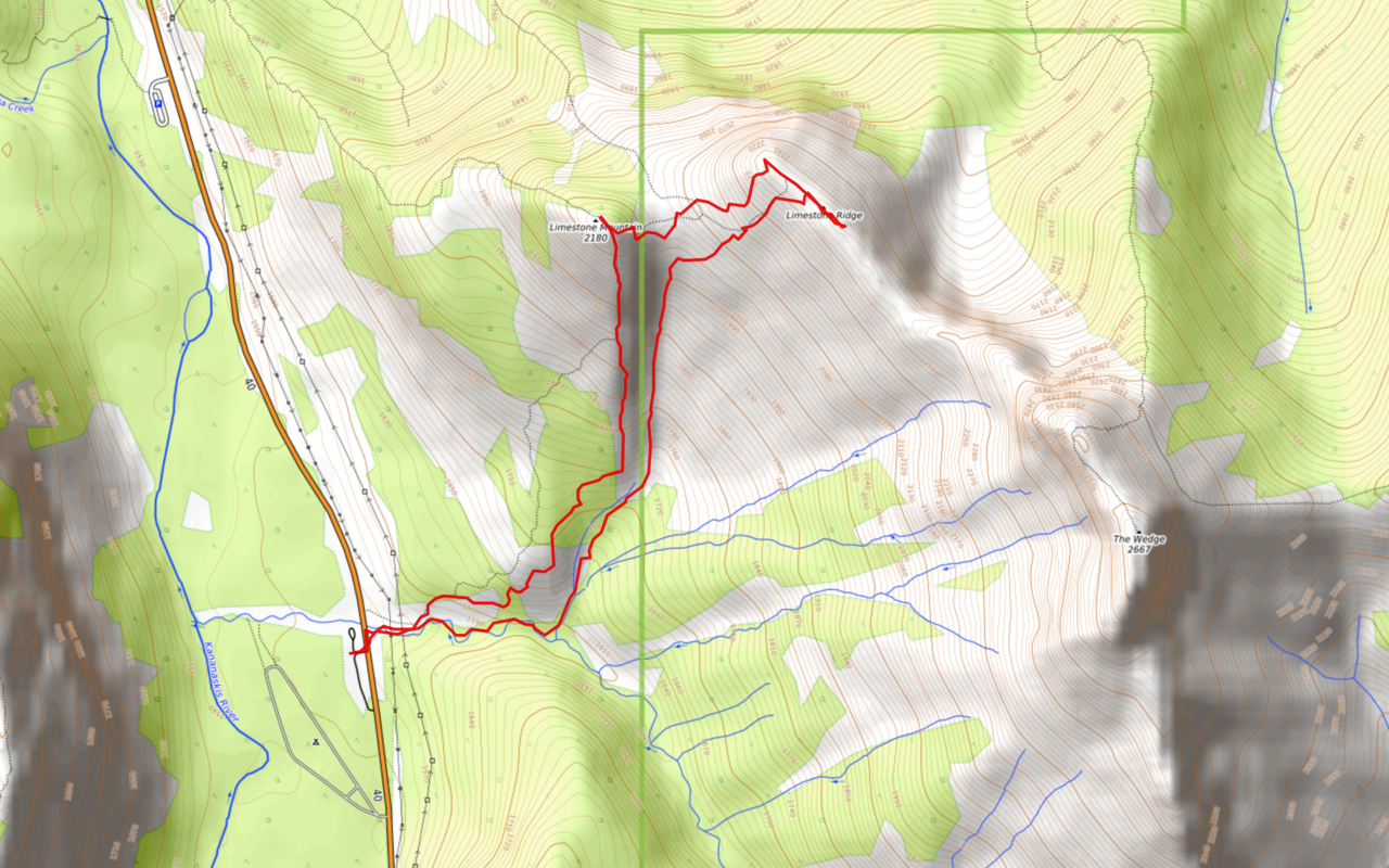
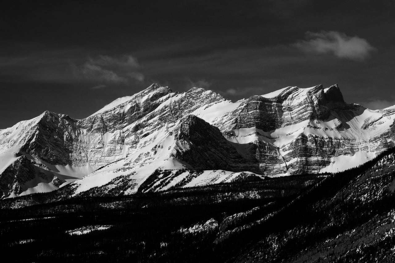
Limestone Mountain and Ridge Route Map (see link in desciption - or click here - for interactive version).
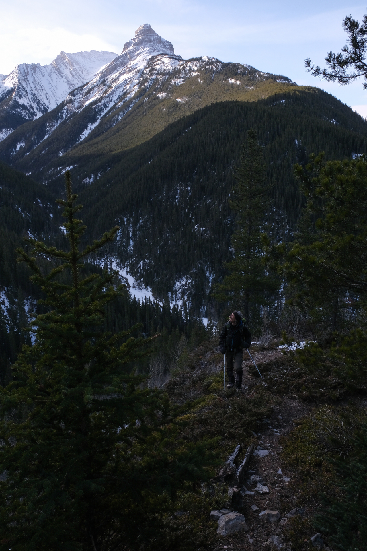
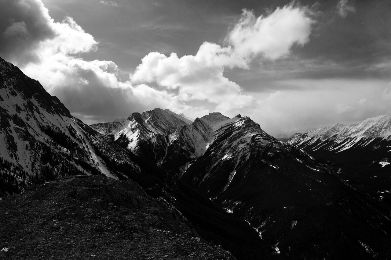
Looking up to Limestone Mountain (left), Limestone Ridge (center), and The Wedge (right), from the big, gravel pull-off on the west side of Highway 40. The route crosses the highway, and begins by heading up the left side of the creek.
Mounts Inflexible and James Walker catch the first rays of sun.
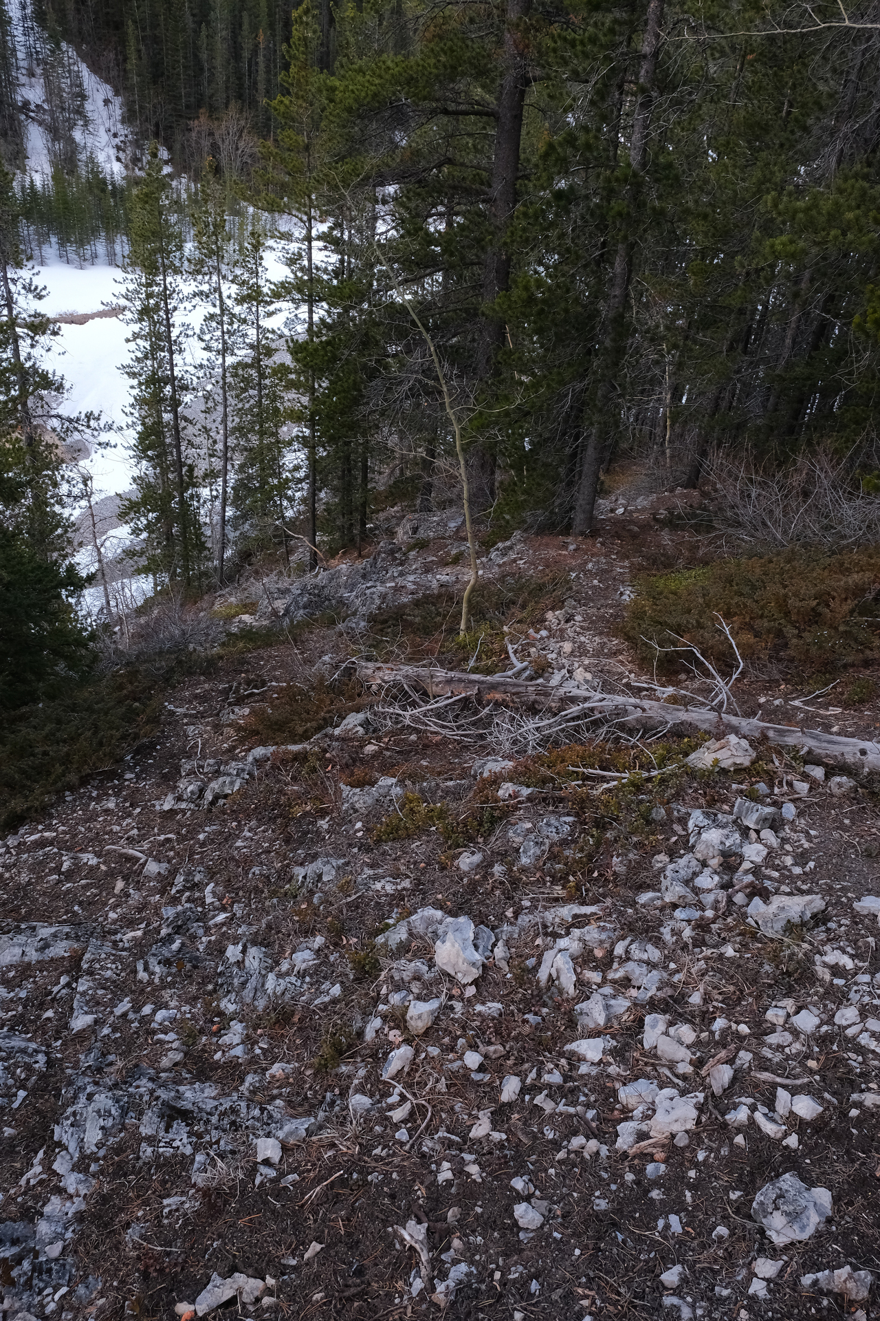
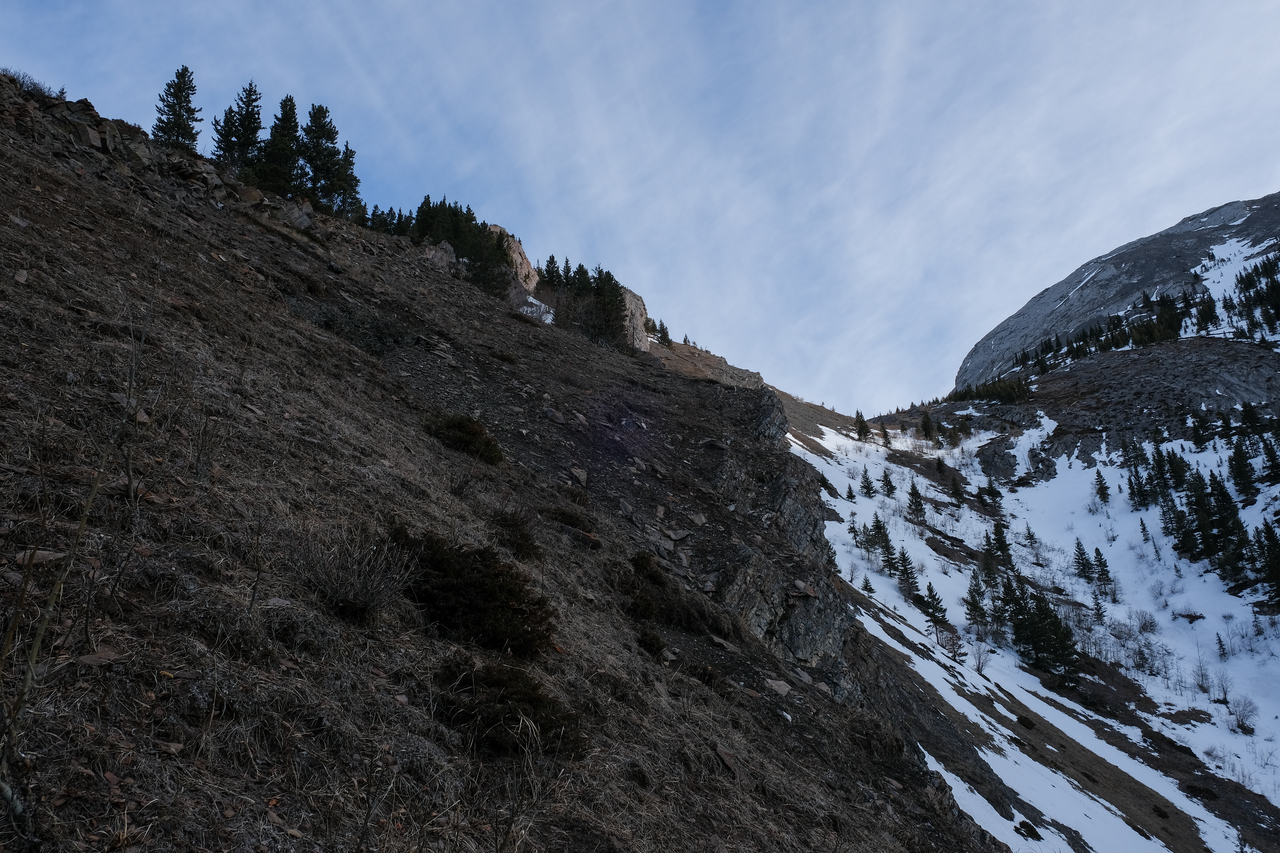
Looking back to the creek, as we gain elevation on its northern side. After following along the wide, rocky bank for about 150m, it ends abruptly, but a narrow trail continues, heading up through the forested slope ahead.
Continuing up some rubbly terrain.
We were soon granted this view of Spoon Needle. I think this is the "spoon" side ;).
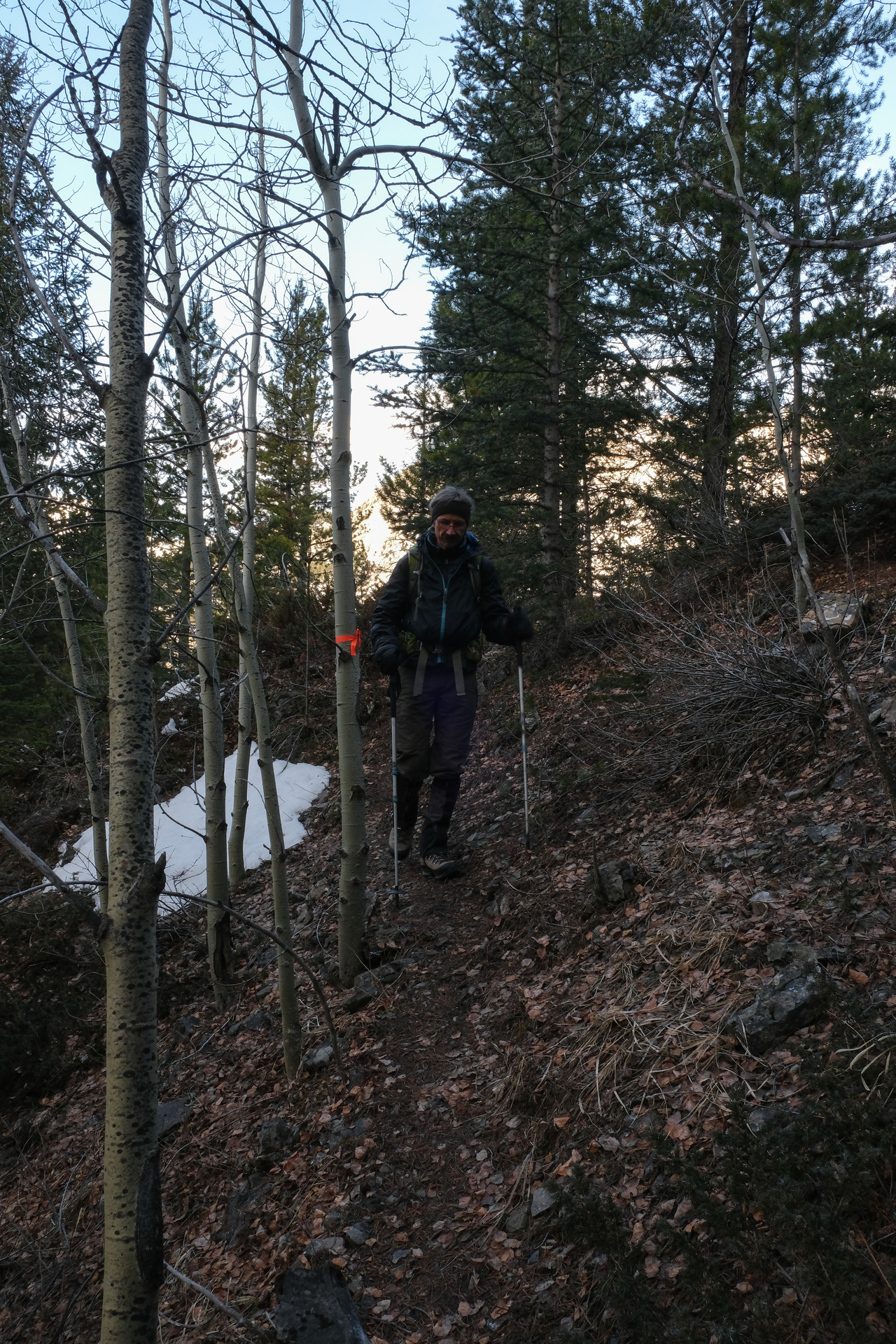
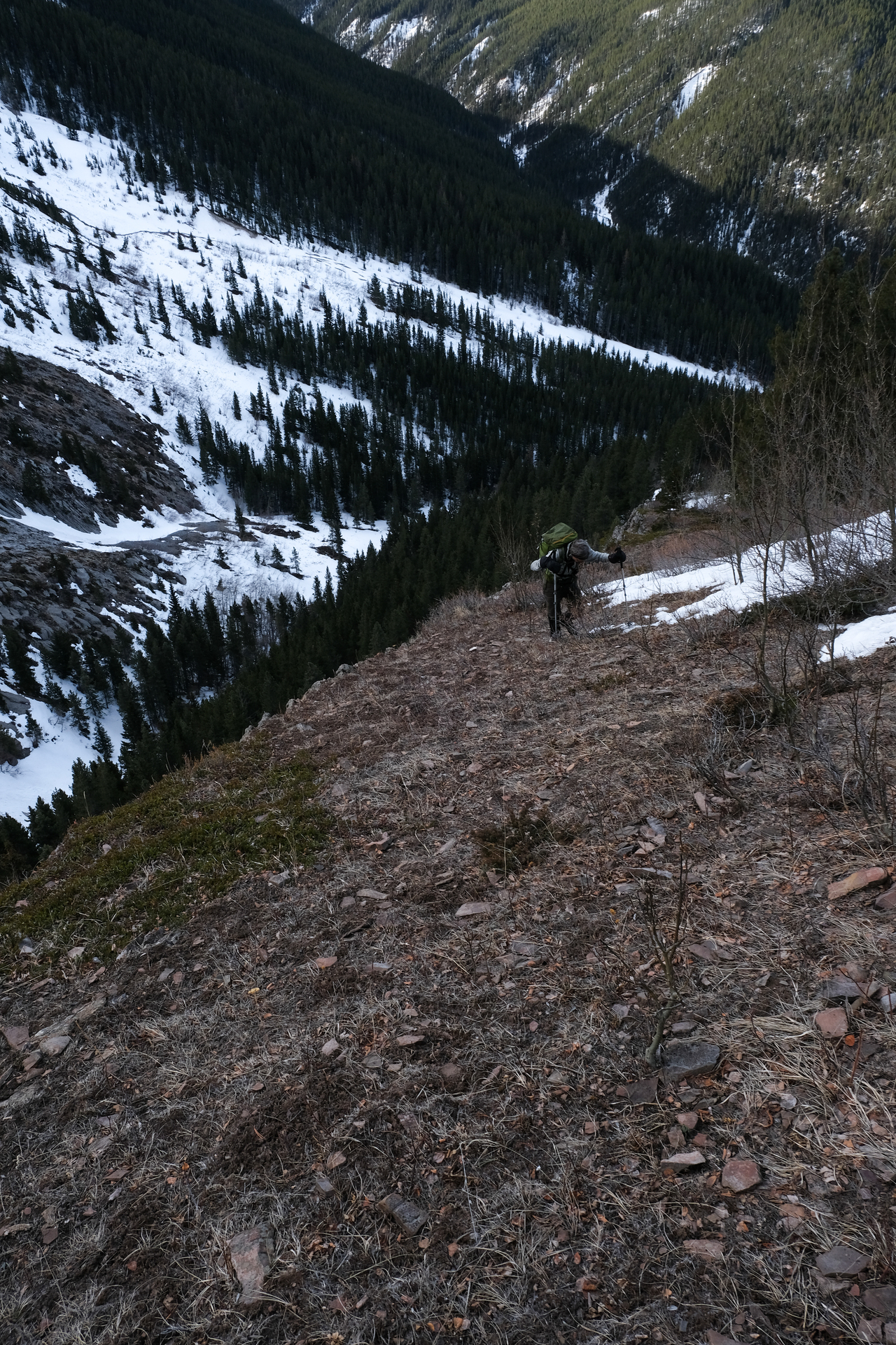
The trail largely traverses the slope above the creek, with a few ribbons to guide the way.
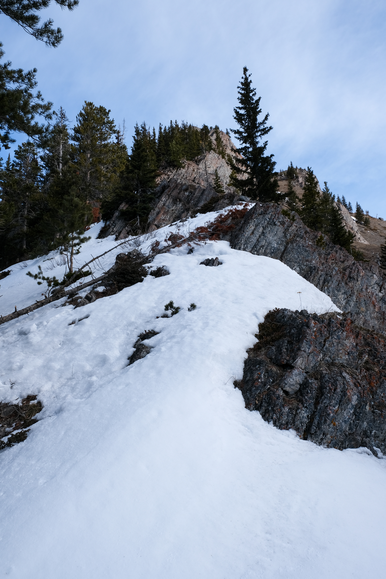
I honestly thought we had reached Limestone's south ridge at this point...
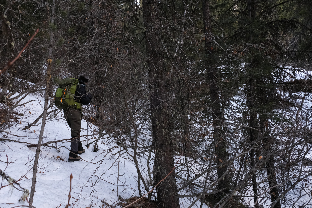
...But let me tell you, that was not the case! It was simply a brief clearing above the creek, and we were soon back in the trees, fighting our way through stubborn branches, having lost the trail to snow cover.
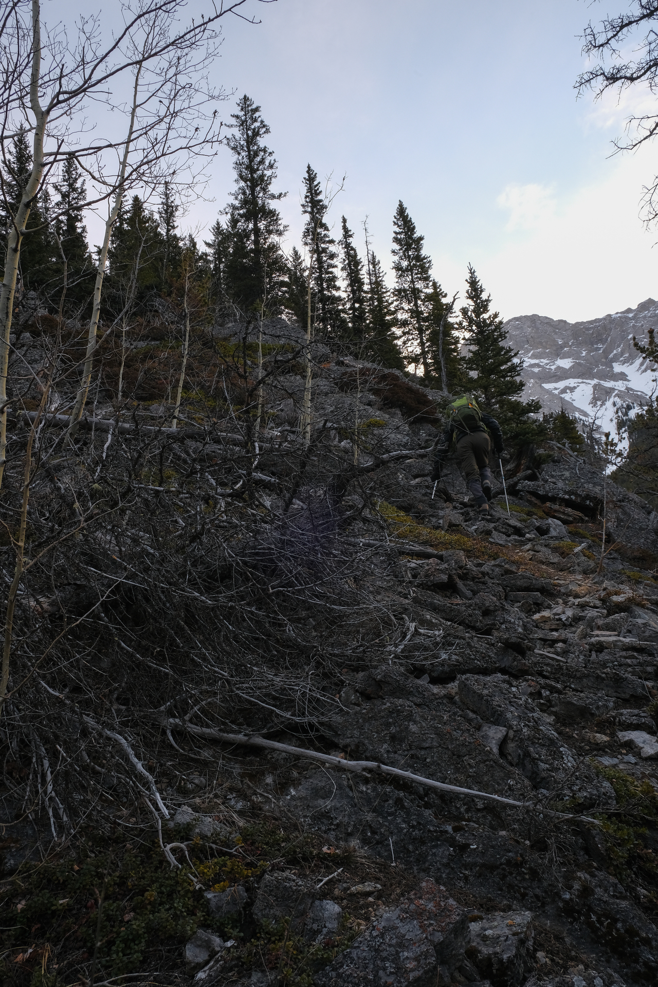
Looking back, after crossing a couple significant "dips" in the slope.
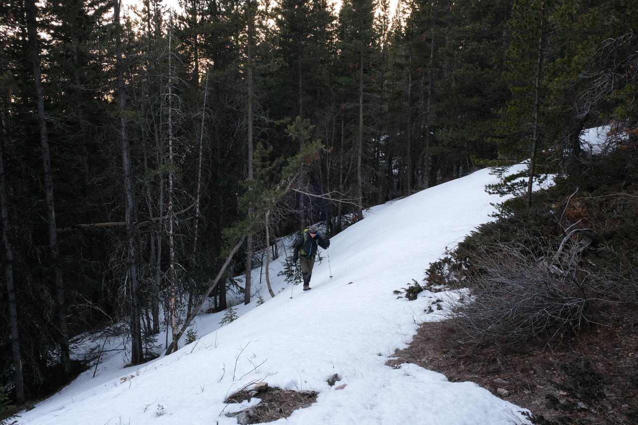
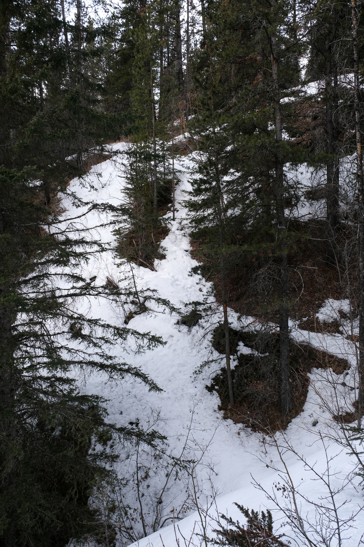
We were just a little confused at this point...We'd completely lost any signs of the trail, and only had Nugara's brief description of, "continue heading northeast through light forest until you arrive at the south ridge" to go from...So that's exactly what we did.
And wouldn't you know it, we eventually found ourselves on the south ridge! Funny how that works 😂.
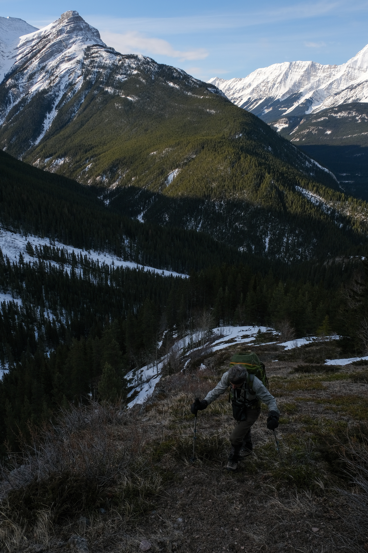
Starting up the open, grassy ridge, finally able to gain an overview of our surroundings.
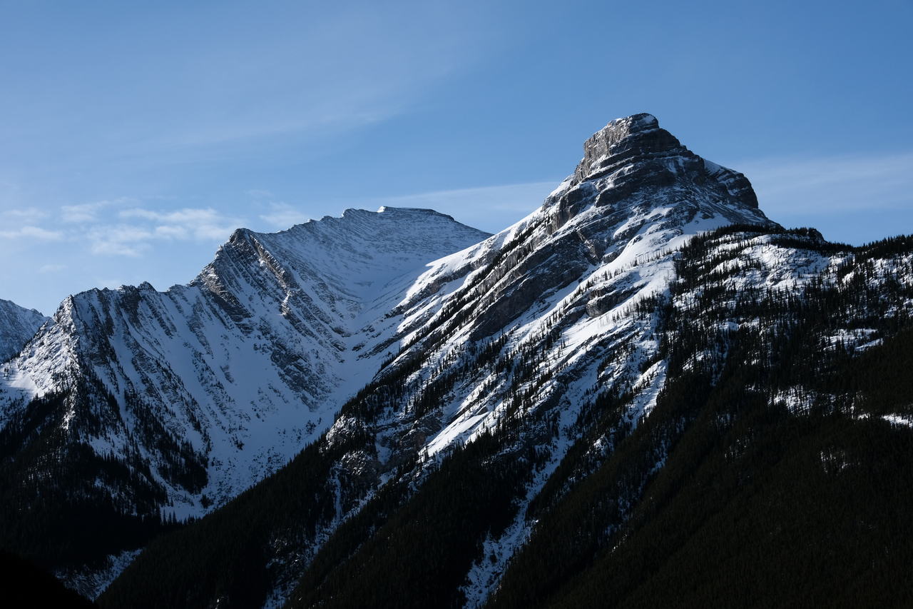
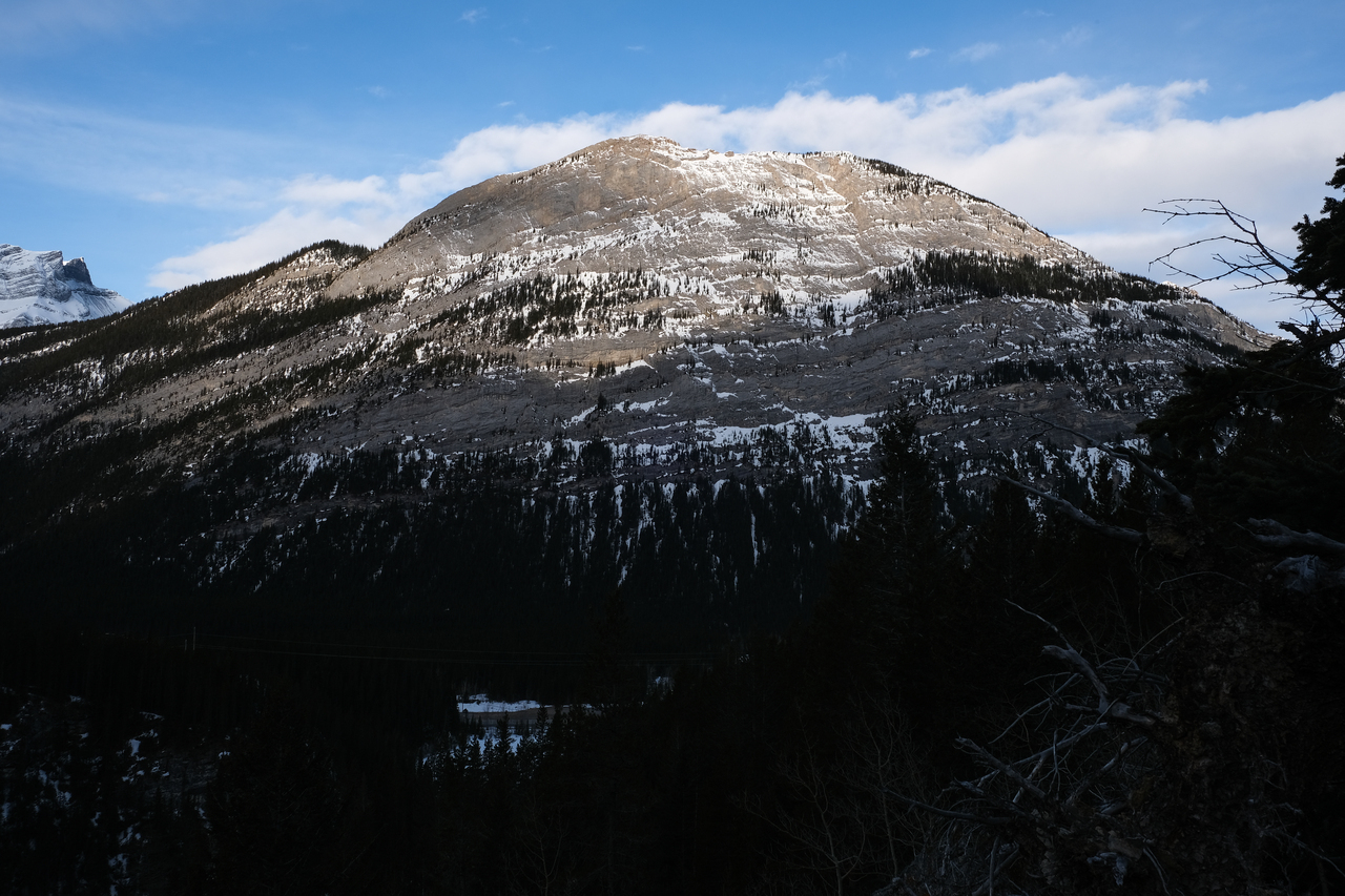
Impressive angle of Opal Ridge North Peak.
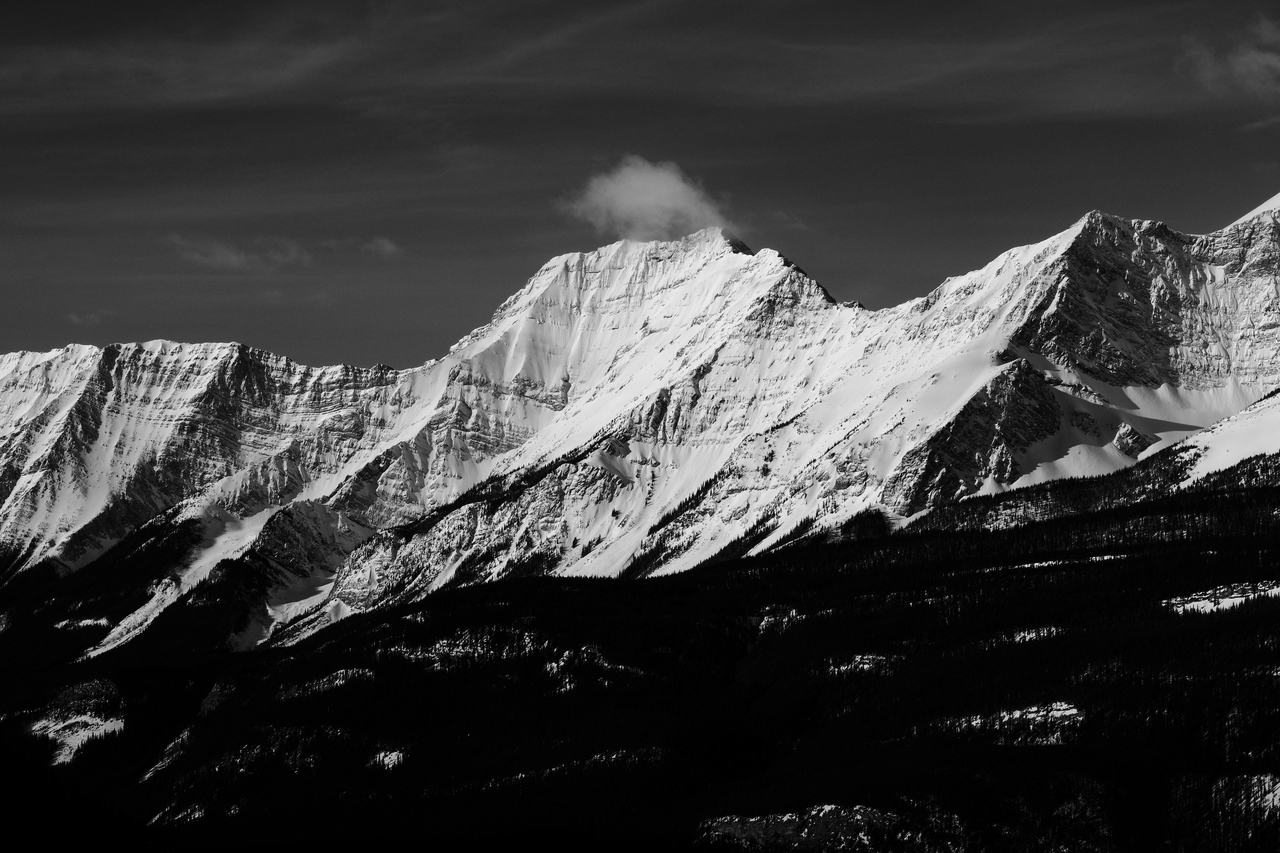
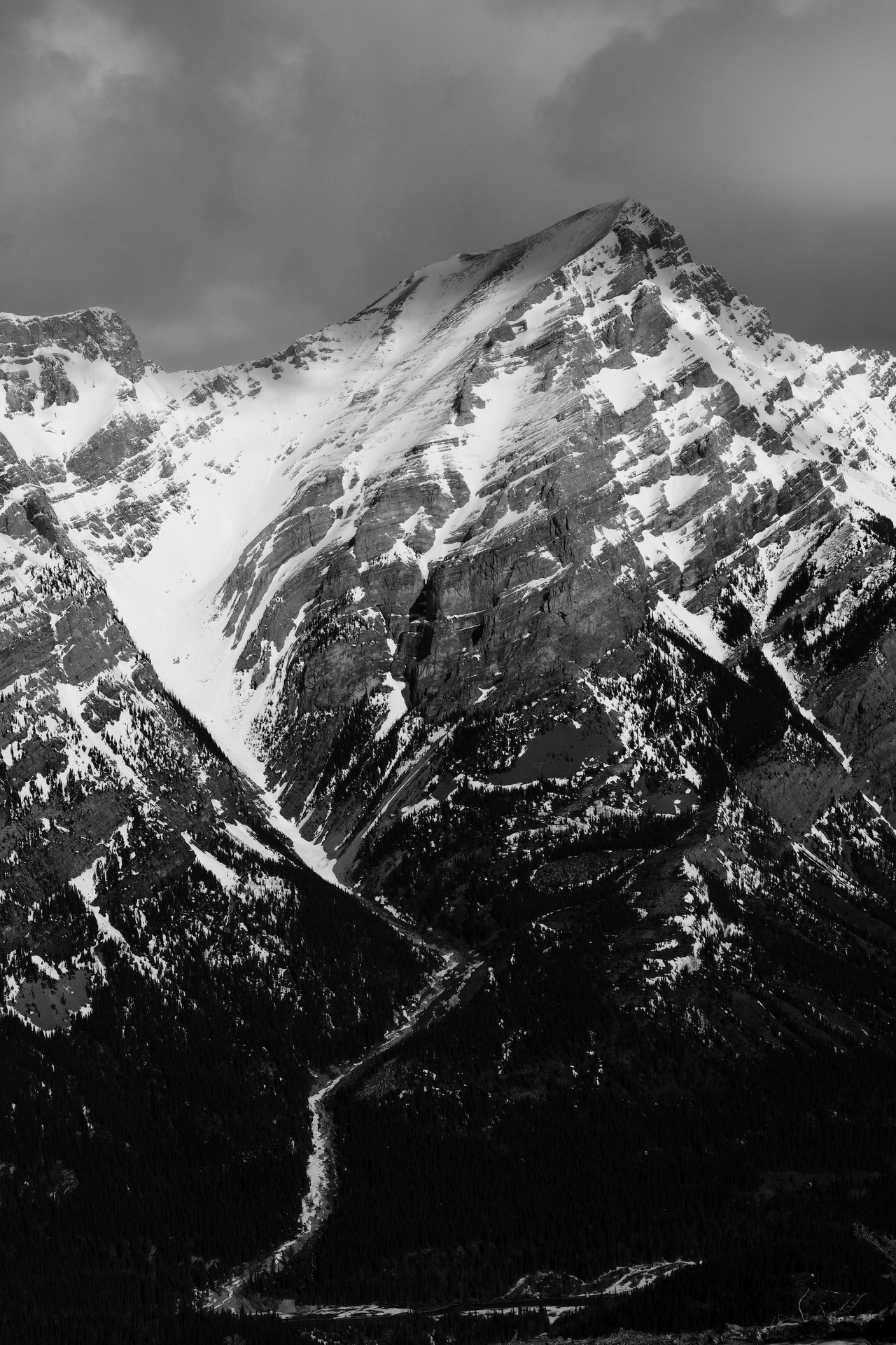
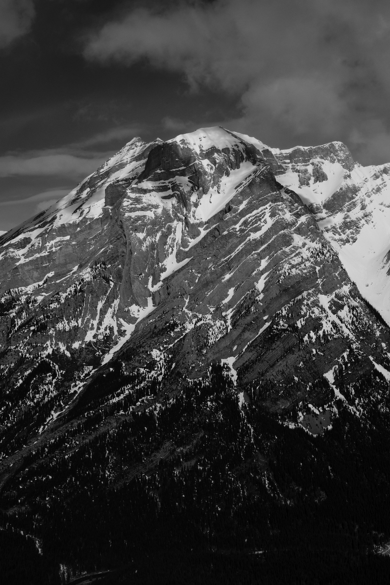
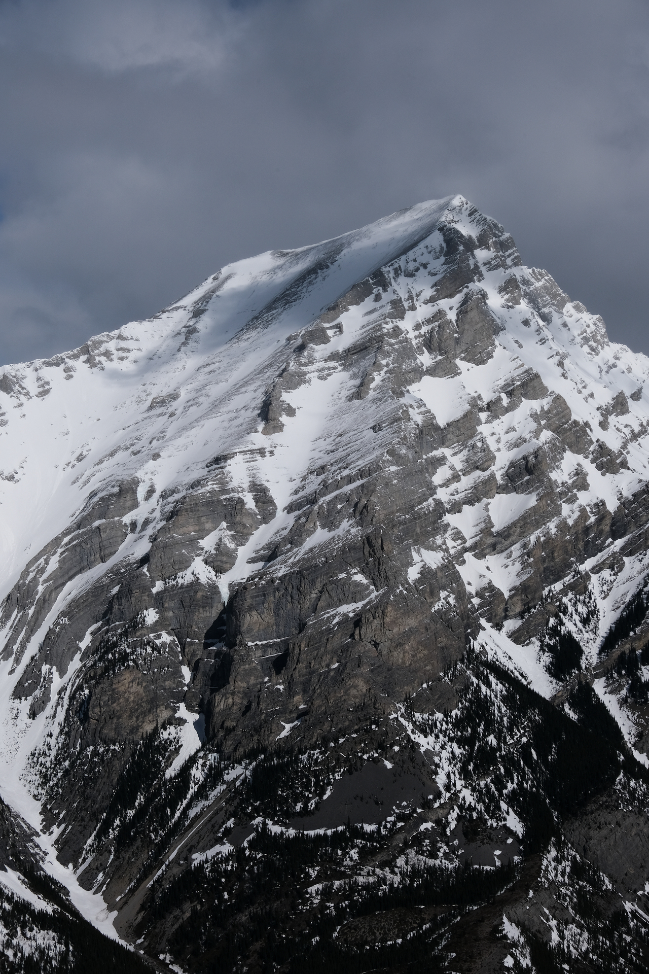
Mount Inflexible's snowy, east face is quite stunning!
As is Mount James Walker.
Here, we would head left, up the steep grassy slopes, to gain the ridge crest. The col between Limestone Mountain and Limestone Ridge is visible, center-right, with the snowy, alternate descent gully below.
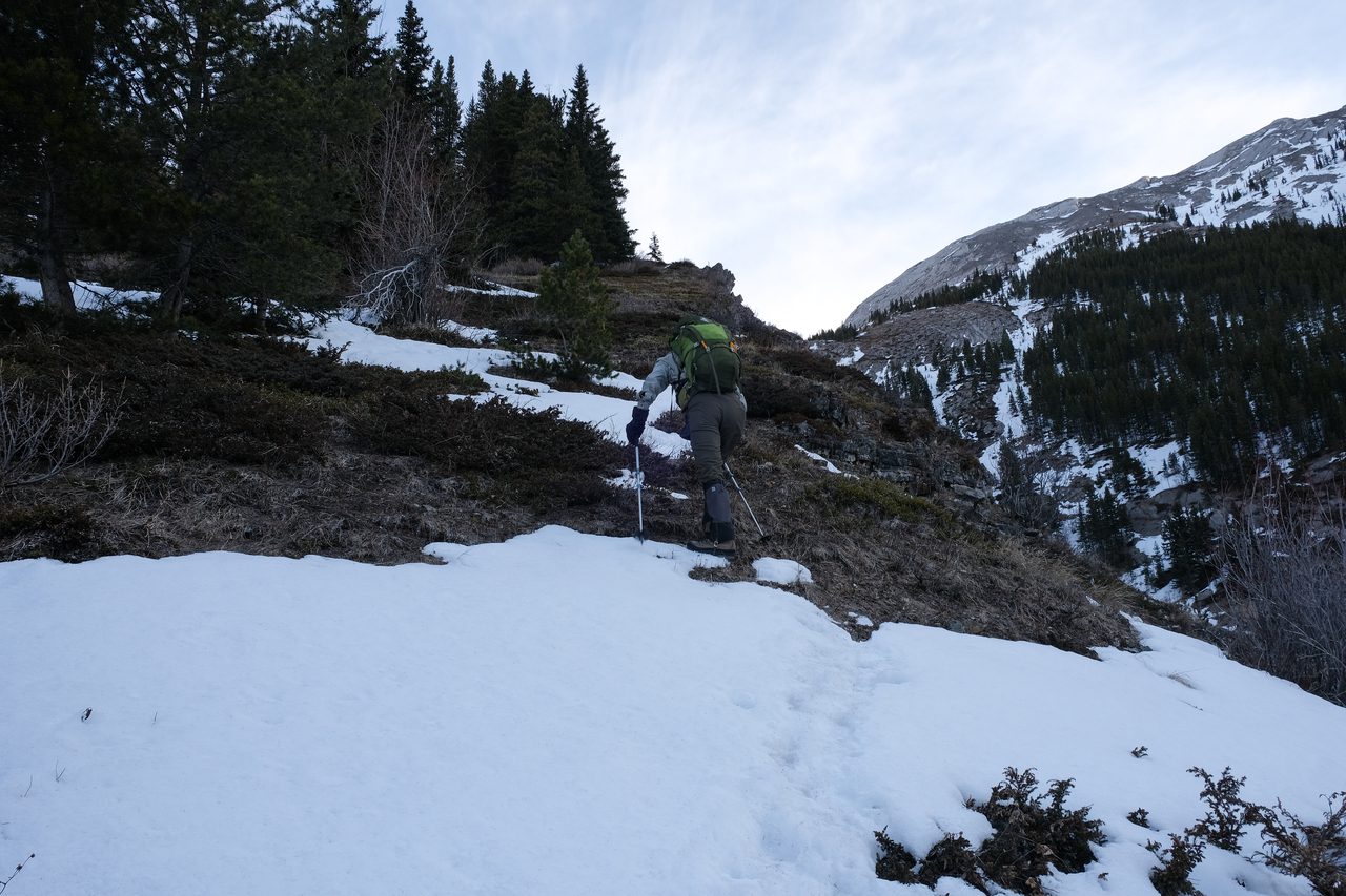
Good thing the snow had melted off this slope, because it's quite steep and right above a cliff! Wouldn't want to slip here!
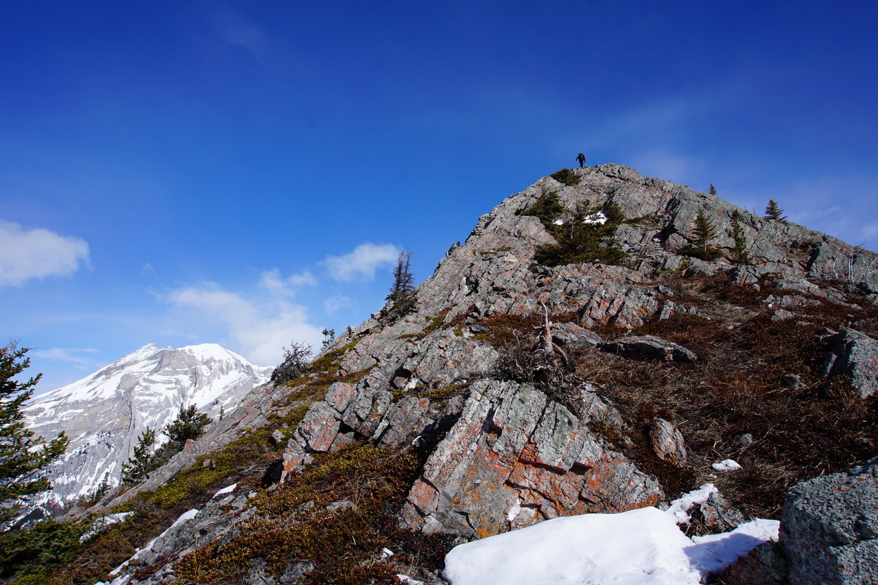
Looking ahead, to solid rock on the ridge crest.
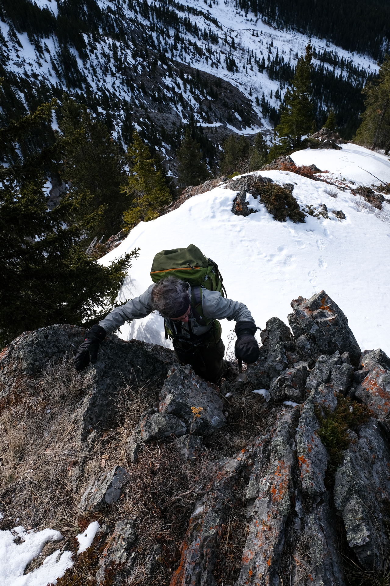
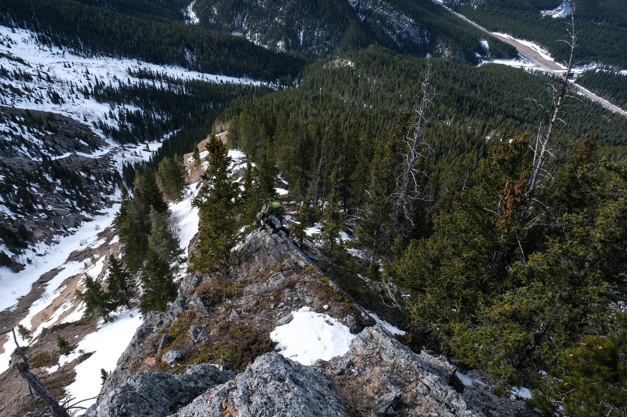
The scramble has finally begun :)!
Looking back, as my dad gets his hands (or should I say mitts...We may be scrambling, but its still cold!) dirty. Although I'd say the majority of the ridge is still easy scrambling, there are some moderate sections to be found.
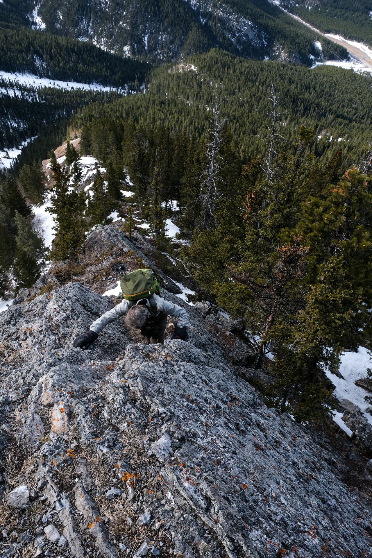
The rock here is solid, grippy, and was a joy to ascend!
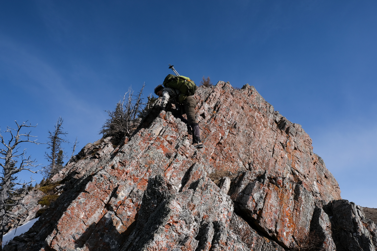
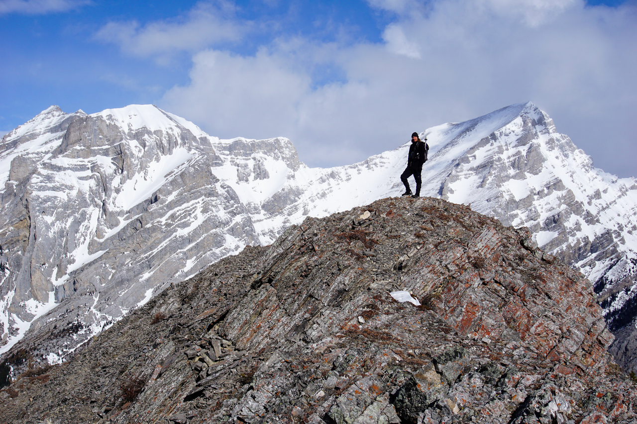
My dad tackles the final short step, before the ridge eases off, leading to the summit.
Hiking up the broad, gentle terrain before the summit. Photo credit: Dad
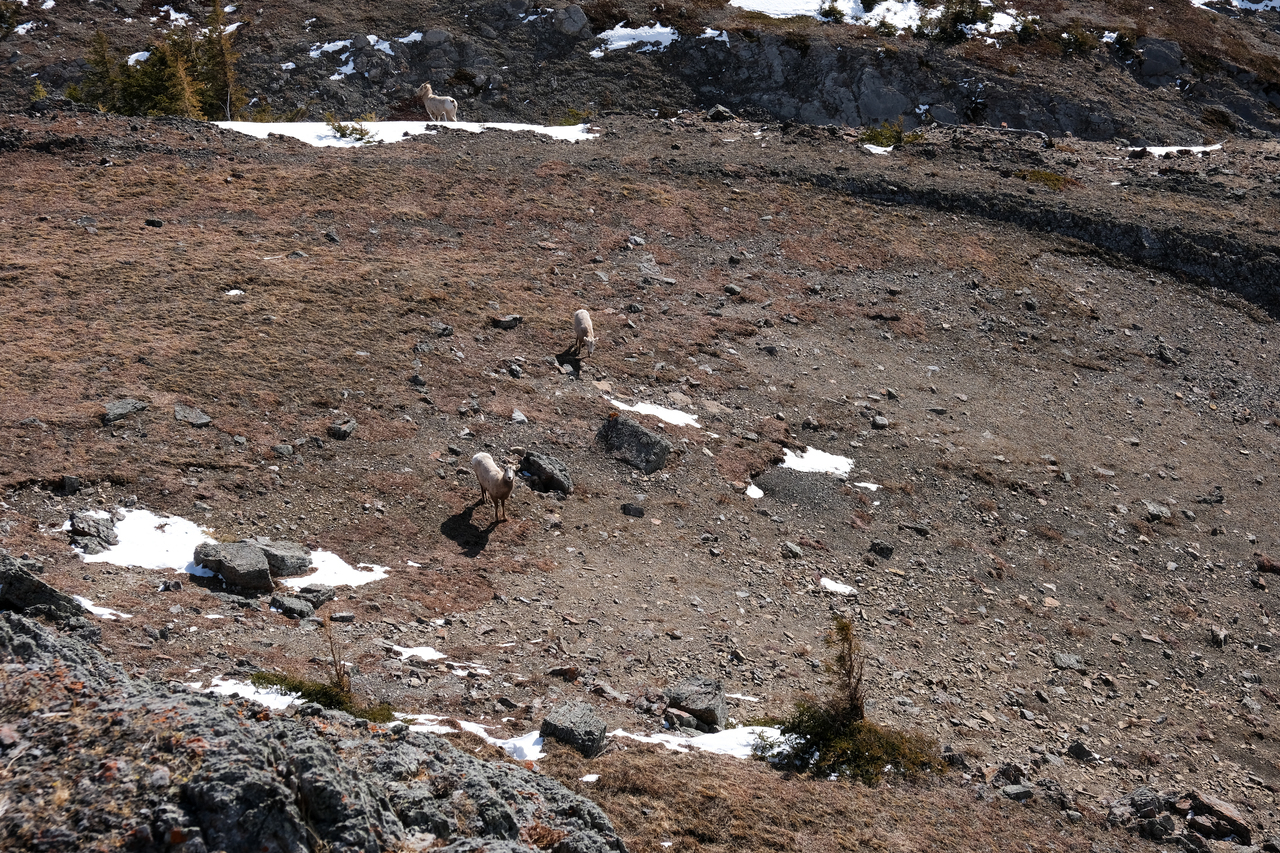
Hiya goats!
Standing on the summit of Limestone Mountain with snowy Mount Kidd rising beyond! (The summit is actually a few meters further...but the picture looked cooler here 😉) Photo credit: Dad
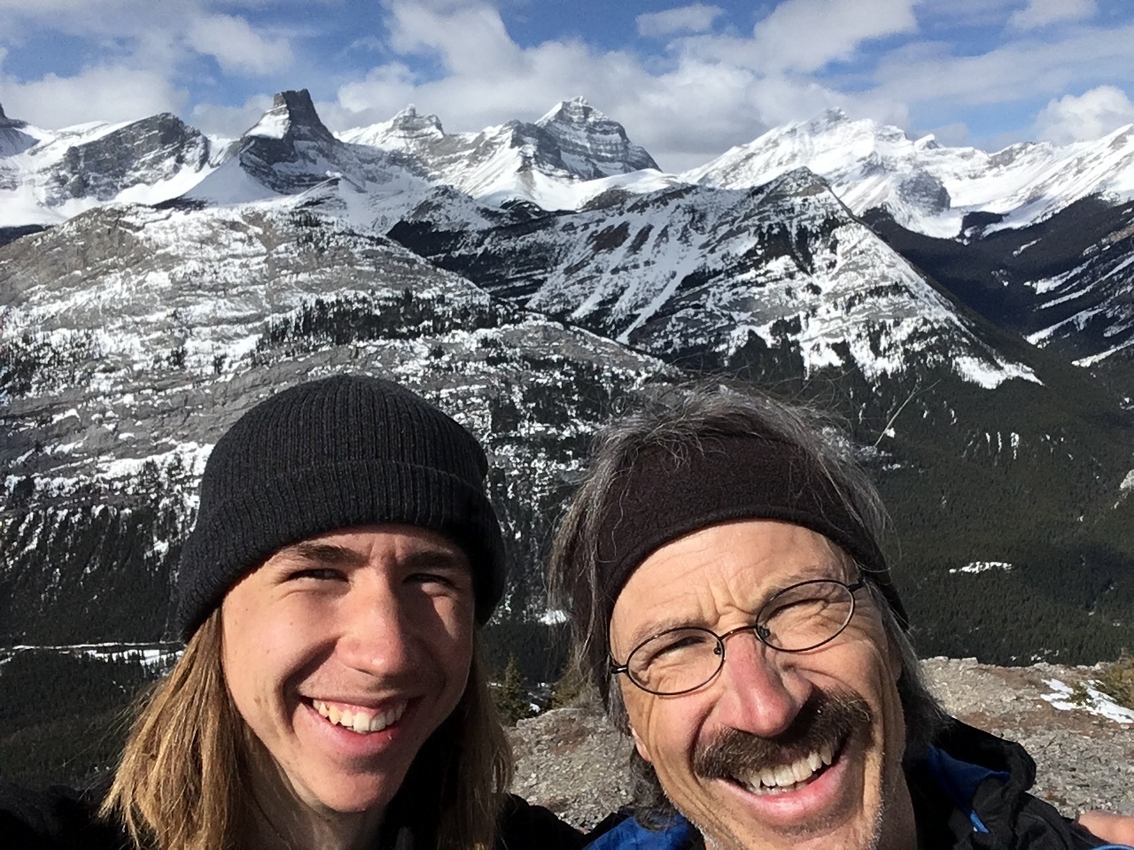
Summit selfie!
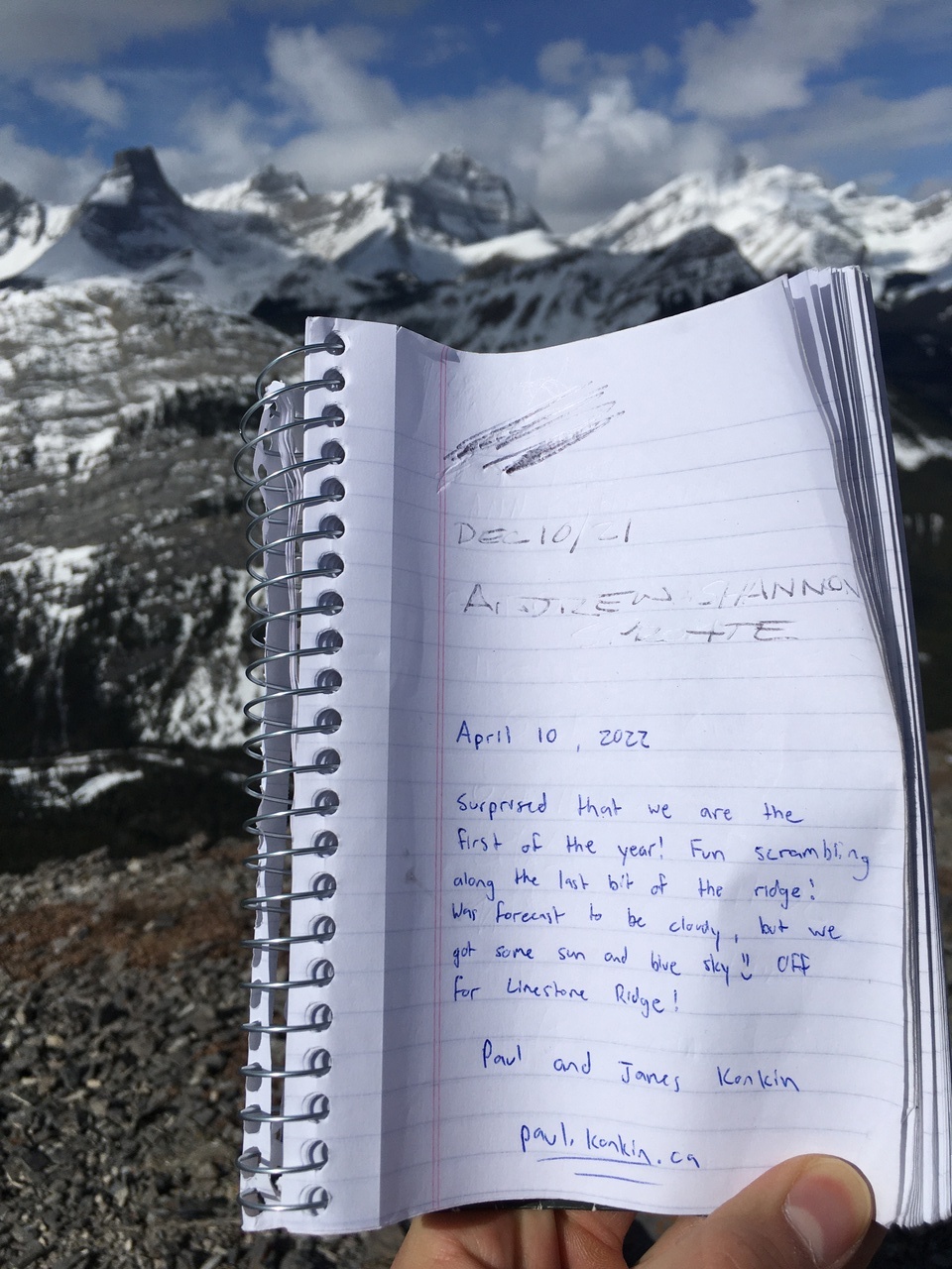
Ay! There's a register! It's felt like a while since we've seen one.
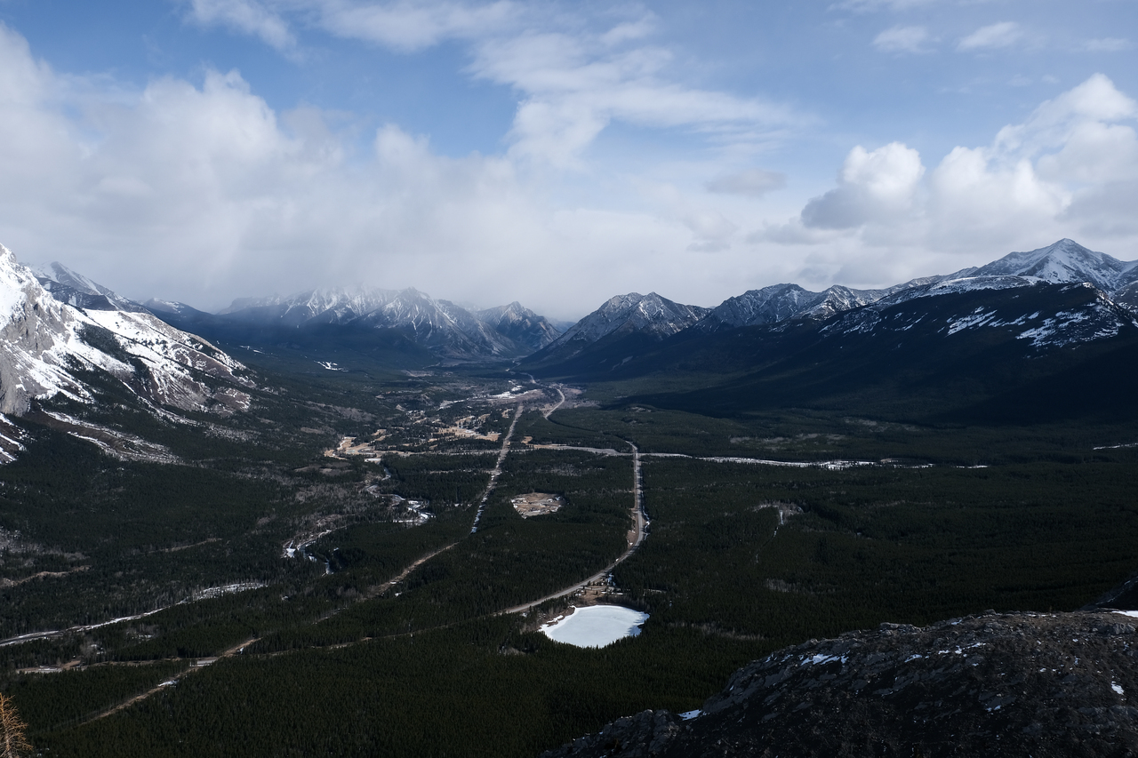
Looking down the valley, to the flats of Kananaskis Village, with Wasootch, Kananaskis, and Old Baldy Peaks rising to the right.
Mount Kidd South Peak and Mount Kidd itself are very prominent across the highway.
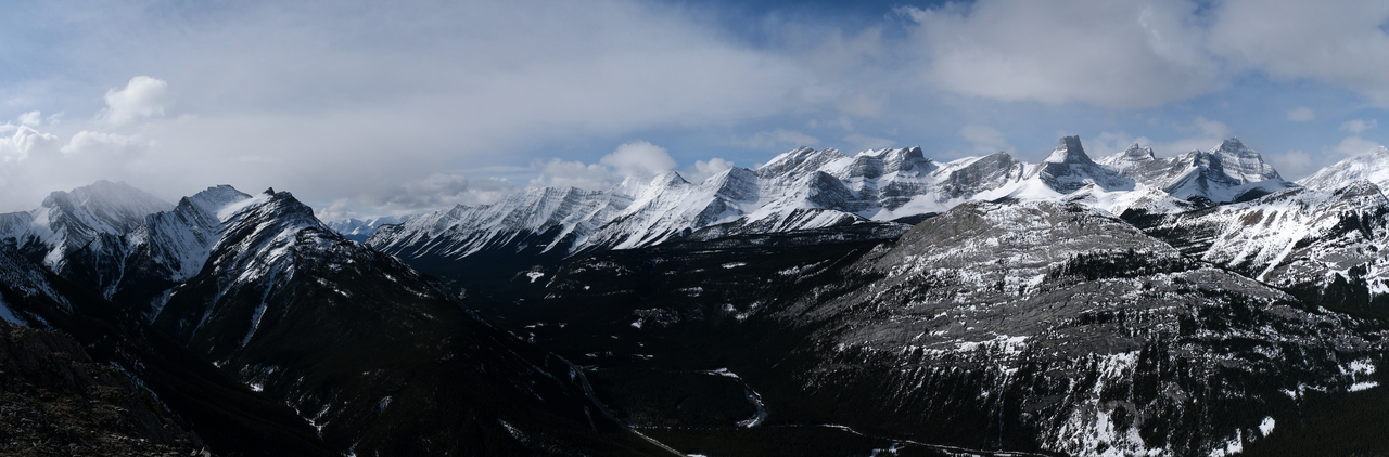
So many peaks to the west!
Now that's a slog right there! Mount Kidd's scramble route is readily seen from this angle. It begins by hiking up the lower drainage, followed by ascending all the way up those massive scree slopes! I really want to climb that mountain, but it'll no doubt be absolutely brutal.
It's hard to believe Mount Kidd South is just an easy scramble!
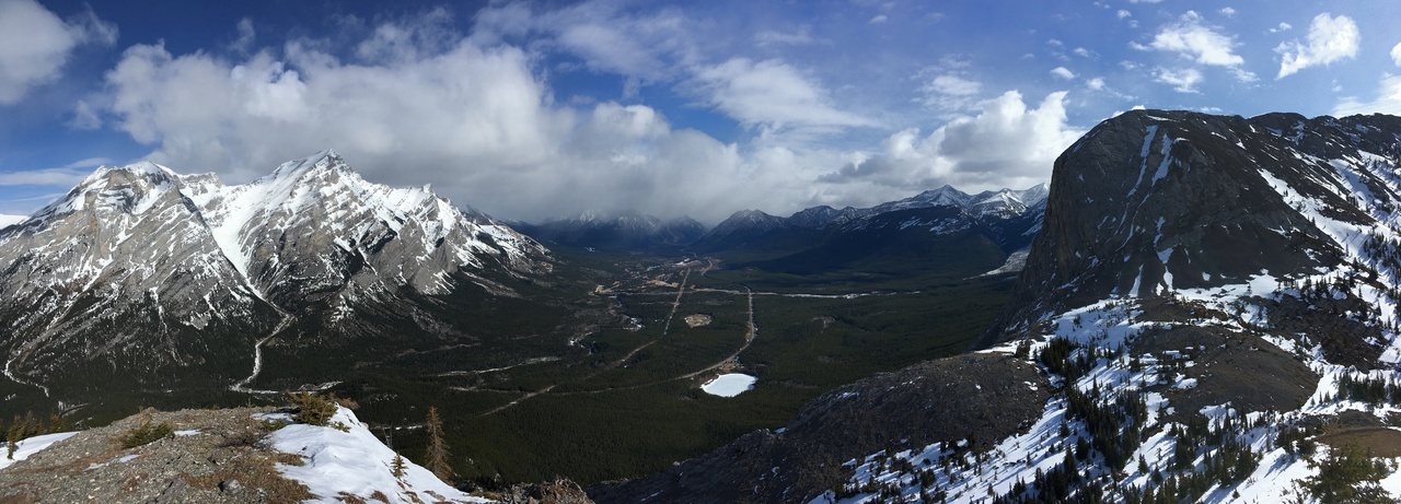
I never noticed how wide and flat this valley was before.
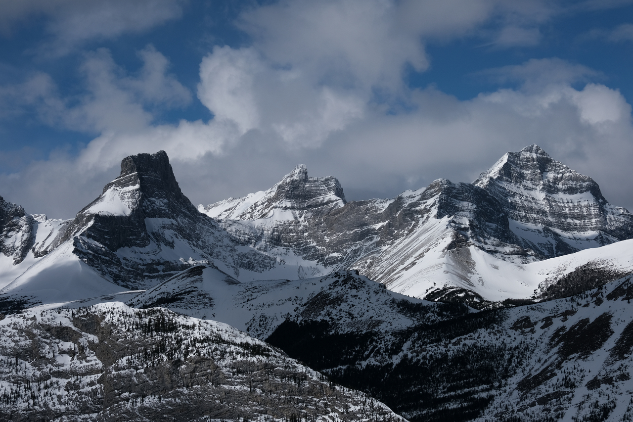
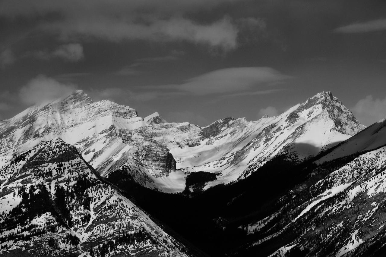
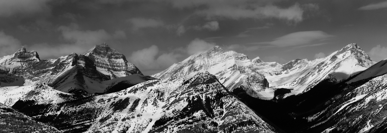
Some big names from the Kananaskis Range, including: James Walker, Fortress, Gusty, and Galatea, rising above spoony-lookin' Spoon Needle in the foreground.
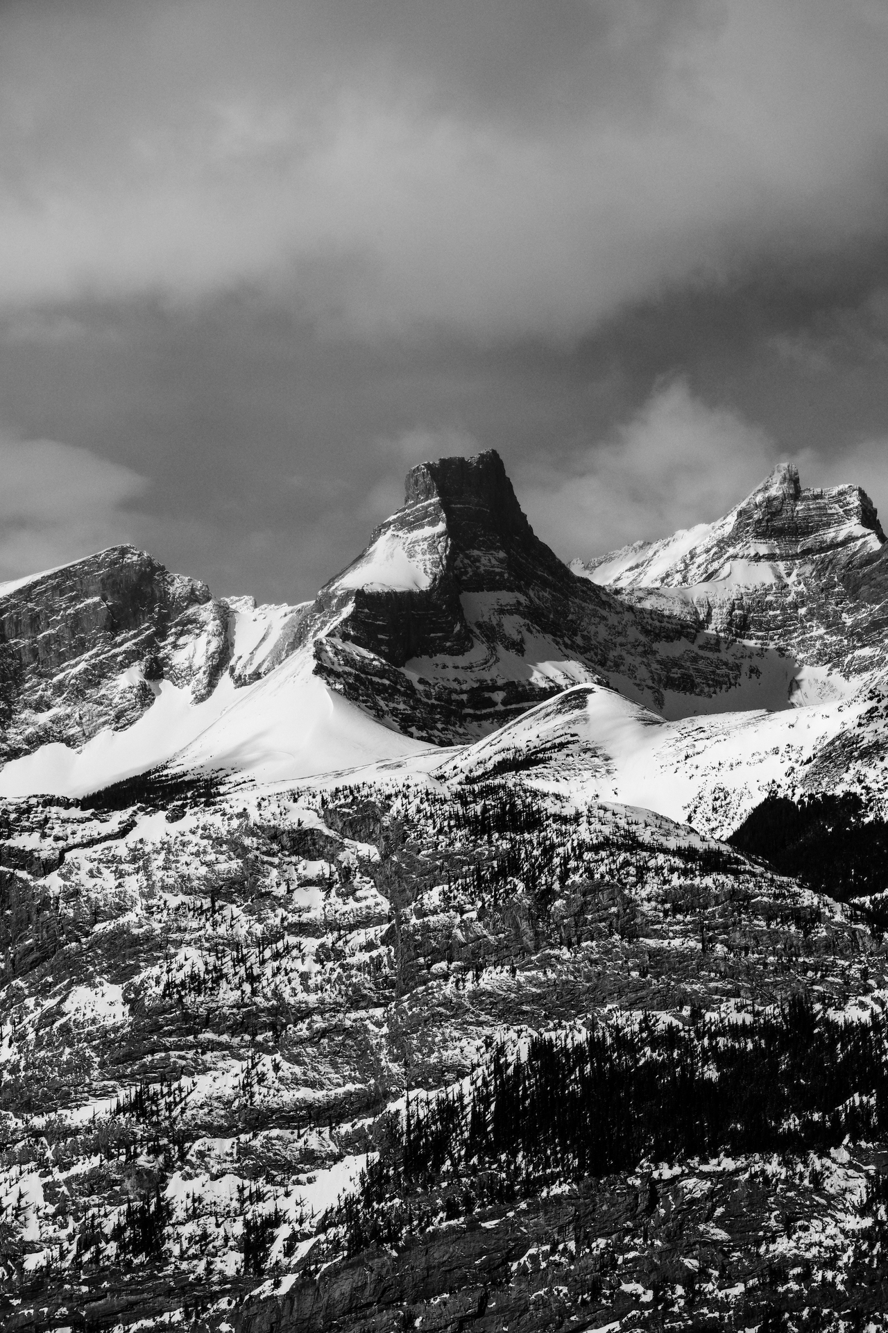
I see how The Fortress got its name...
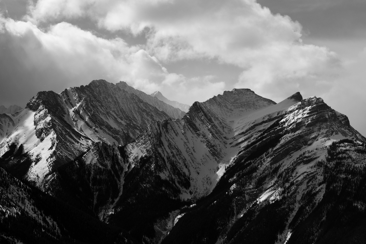
Stunning view of the start of the Opal Range, to the south!
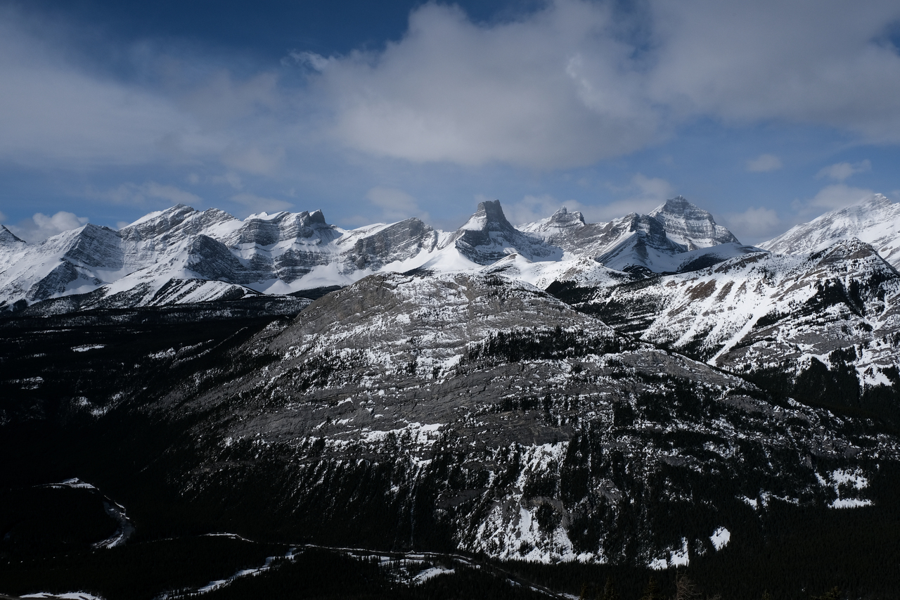
Beautiful trio of Fortress, Gusty, and Galatea, all rising to over 3000m!
Another close up of Mount Kidd!
The highest peak in the Kananaskis Range, Mount Galatea, at 3185m!
The Tower (left) and Mount Lillian (right) rise on opposite sides of the snowy basin that holds Galatea Lakes.
Zooming in to Mount Denny (left) and Opal Ridge North Peak (right), with the highest point of the Opal Range, Mount Evan-Thomas, rising distant-center.
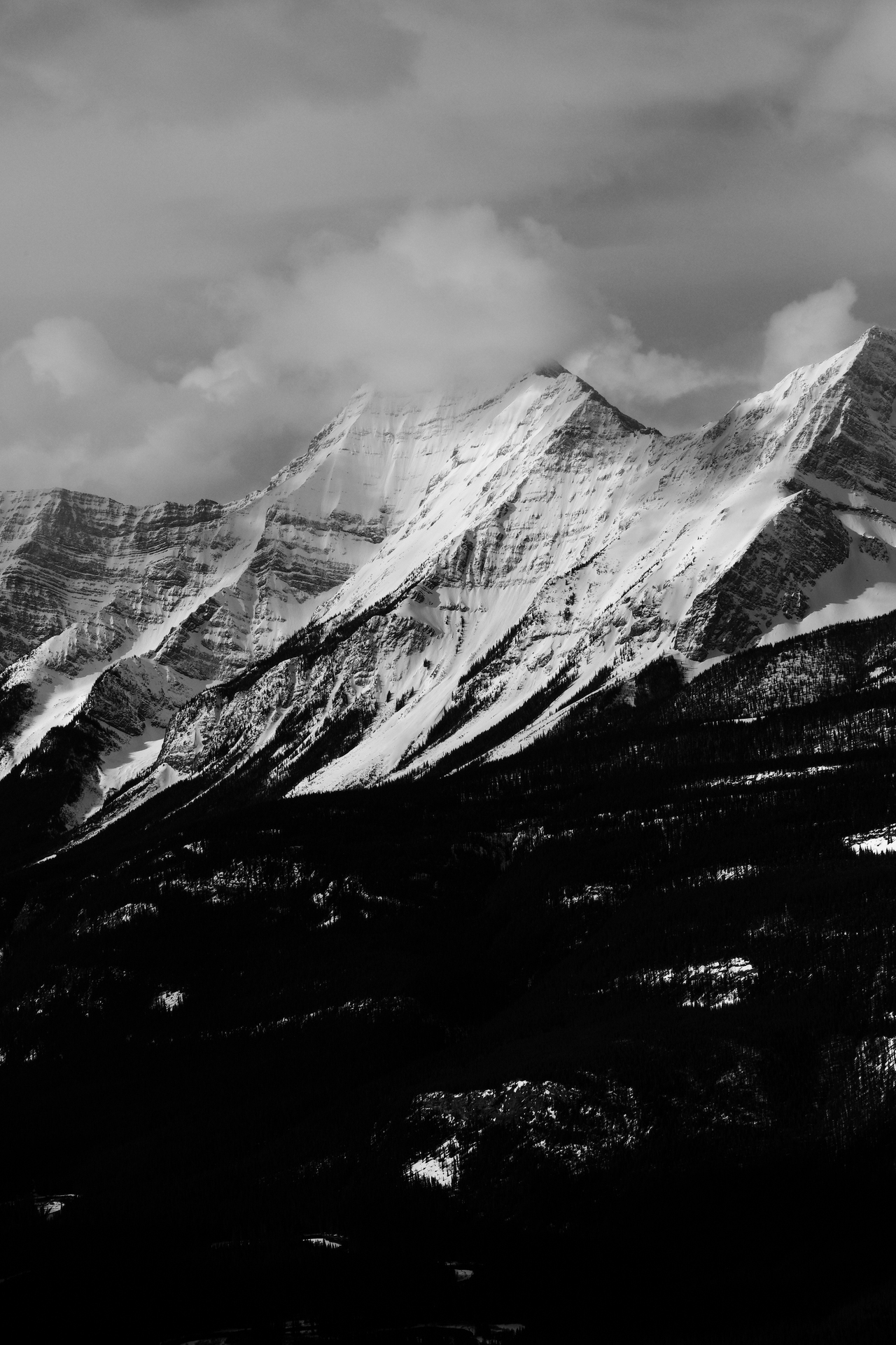
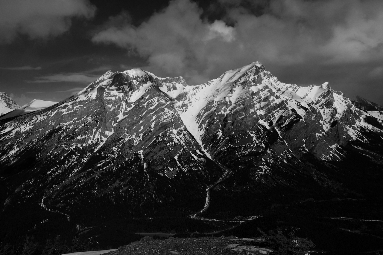
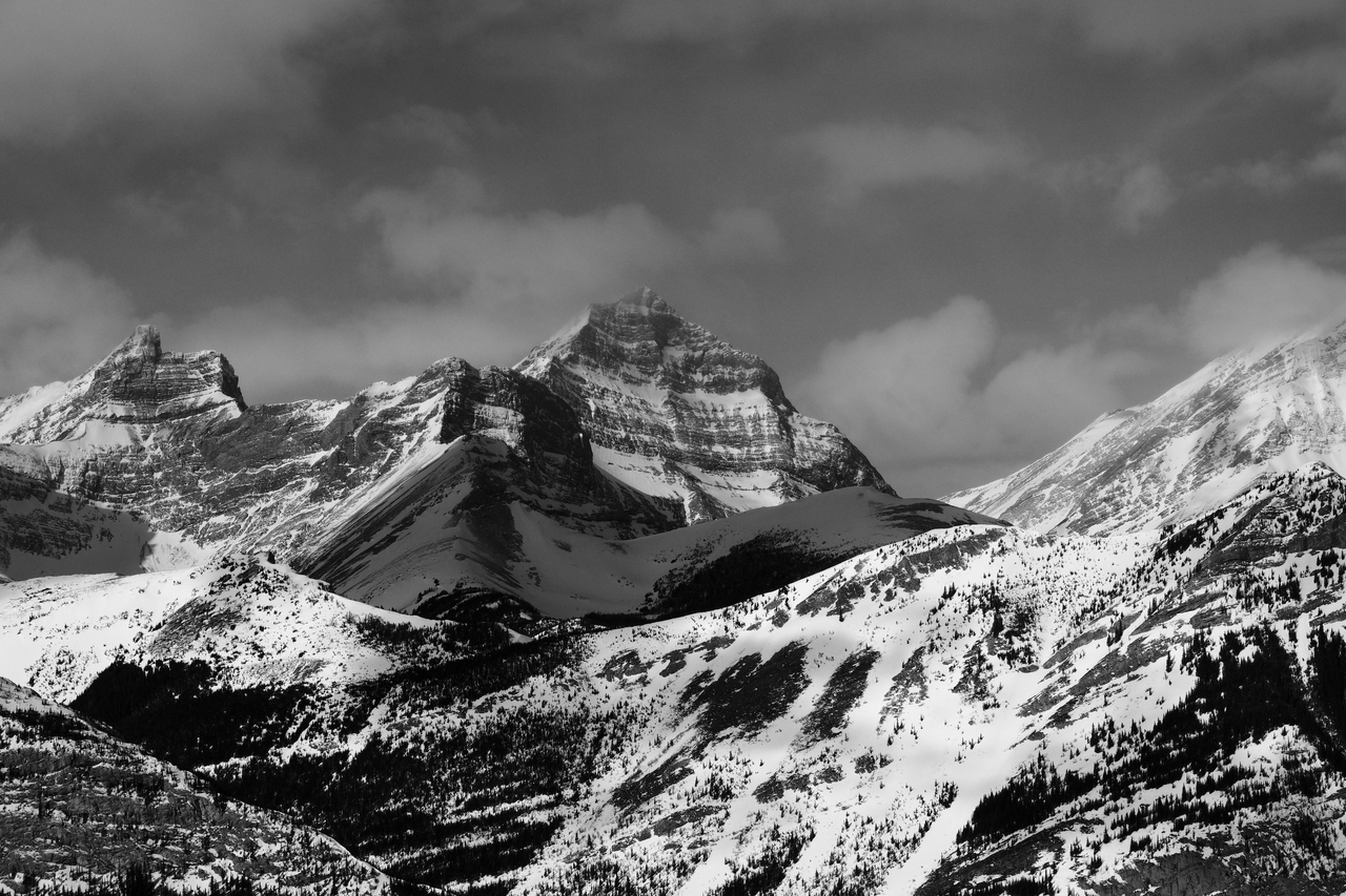
Mount Inflexible is sooo impressive in winter!
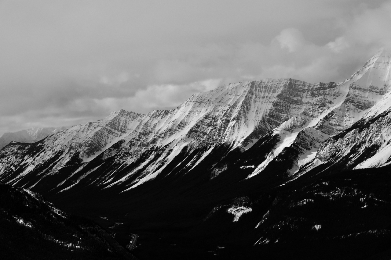
Mount Lawson is easily overshadowed by Inflexible, just up the ridge to the north...but take Inflexible out of the frame, and Lawson is quite the mountain itself!
Gusty, Galatea, The Tower, and Lillian, dwarf Fortress Ridge in the foreground.
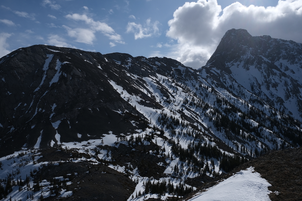
On to our next objective, Limestone Ridge, which connects to The Wedge (not going there today!) up to the right!
Disclaimer