Date: November 30, 2021
Location/Route Map: Banff
Elevation: 2355 m
Elevation Gain: 685 m
Distance: 16.7 km
Rating: Class 2
Avalanche Terrain Rating: Simple/Challenging
Notes: Not the most exciting circuit, I must admit, but a good way to get your feet wet in the world of backcountry skiing with very minimal objective hazard.
GPS Track: Download
It was painful to see our newly purchased ski touring equipment sit in our basement for what felt like weeks on end, as we waited for enough snow to fall! I just wanted to go skiing! With the recent dump of snow however, we decided to bring our skis along to the mountains, hoping we'd finally get the opportunity to test them out! After snowshoeing up Panorama Ridge East the day prior, we chose the relatively safe environment of Sunshine Village to see what ski touring was all about! The plan was to skin up the backside of Wawa (via Healy Creek/Simpson Pass), and then ski down the controlled conditions in the ski resort. We hoped that this would allow us to get a feel for our new gear, without having to worry about avalanches! Hopefully we enjoy this AT thing!...If not, we'll just have to learn to like it, because it's too late to turn back now!!
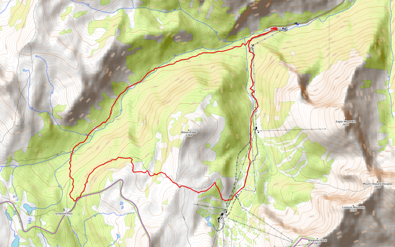
Monarch Viewpoint Circuit Route Map (see link in desciption - or click here - for interactive version).
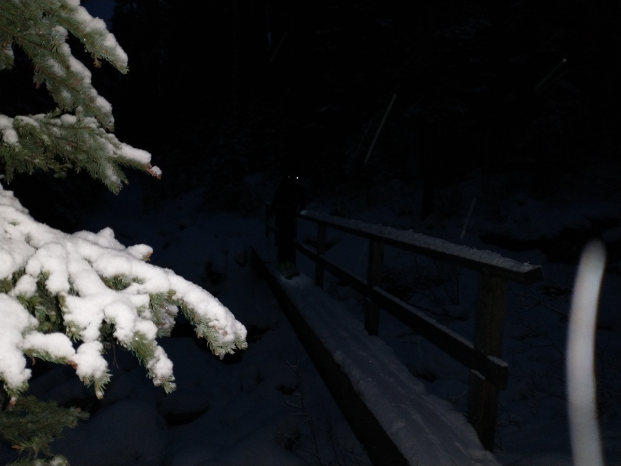
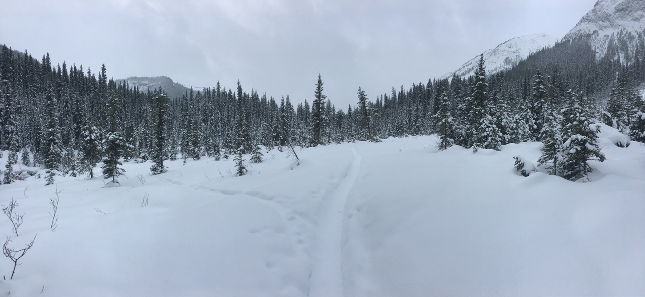
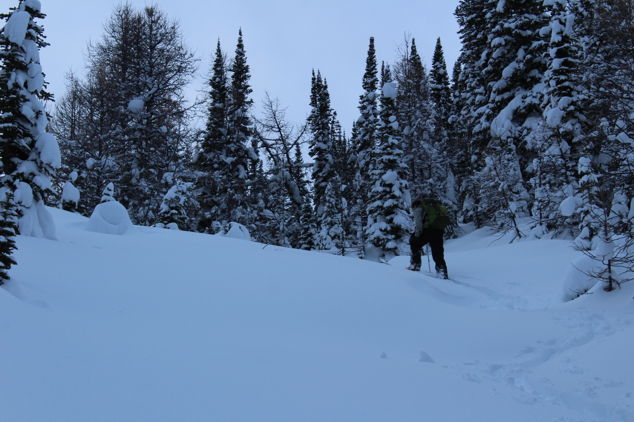
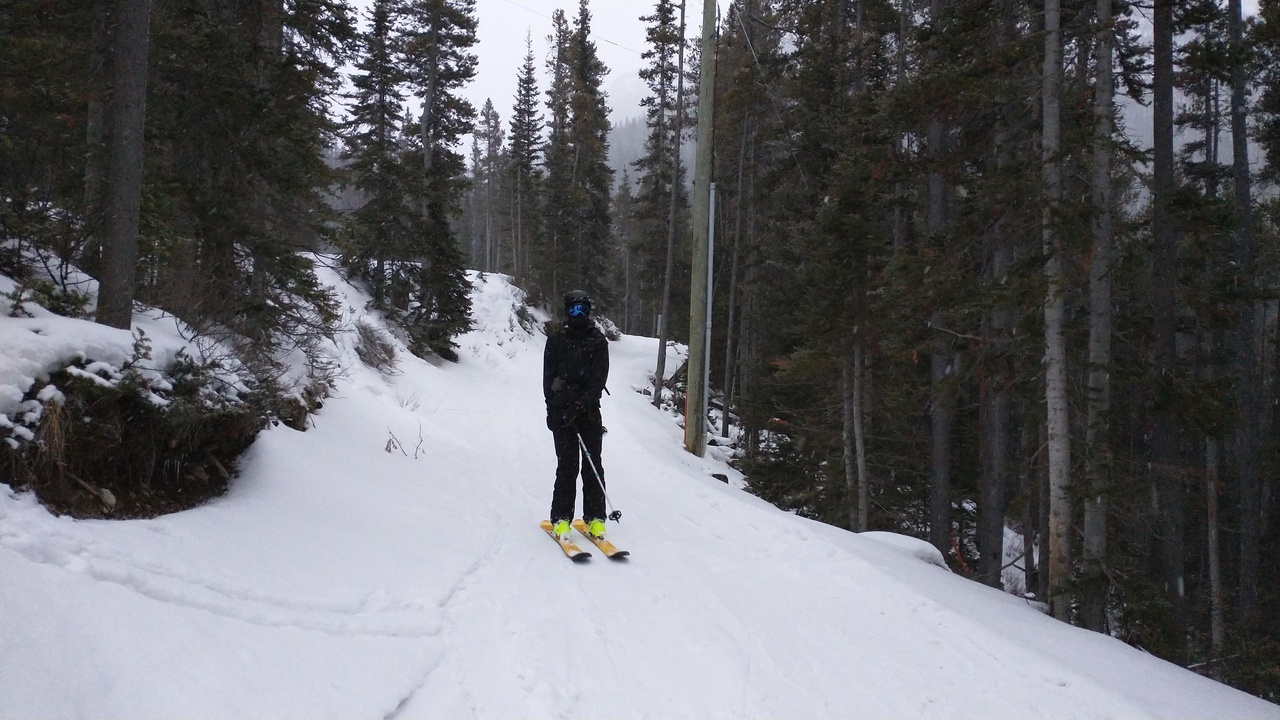
It's go time! We started skinning up the lower ski-out, but soon took the right fork, following up along Healy Creek!
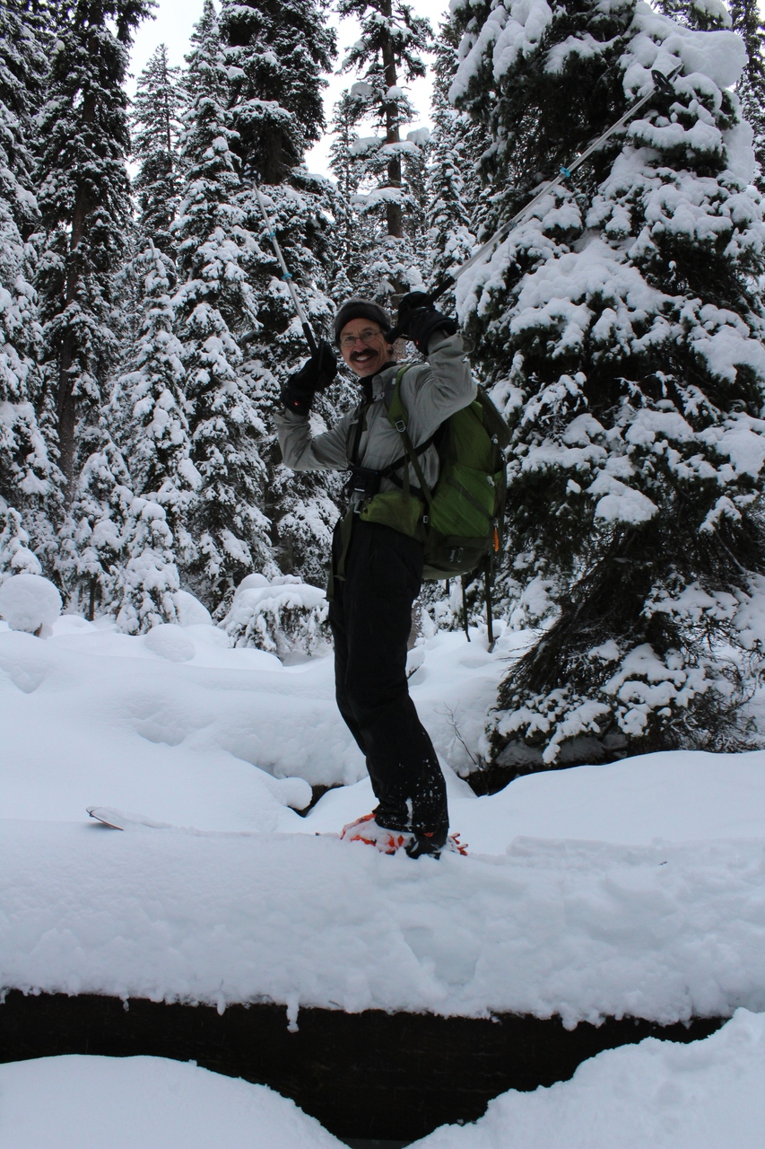
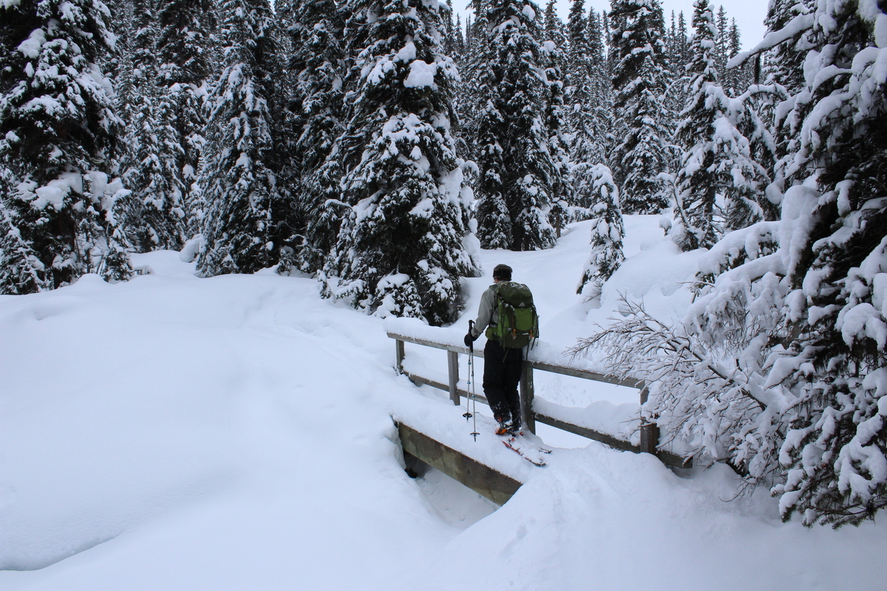
The crux of our trip was probably these bridges! They're just barely wide enough for a pair of skis, and a slip is a big no-no! Not to mention the awkwardness of having to step a couple feet down to get off it! (These bridges were definitely not built with skiers in mind!) At least there's a railing...LOL. Photo credit: Dad
Well that's interesting...Photo credit: Dad
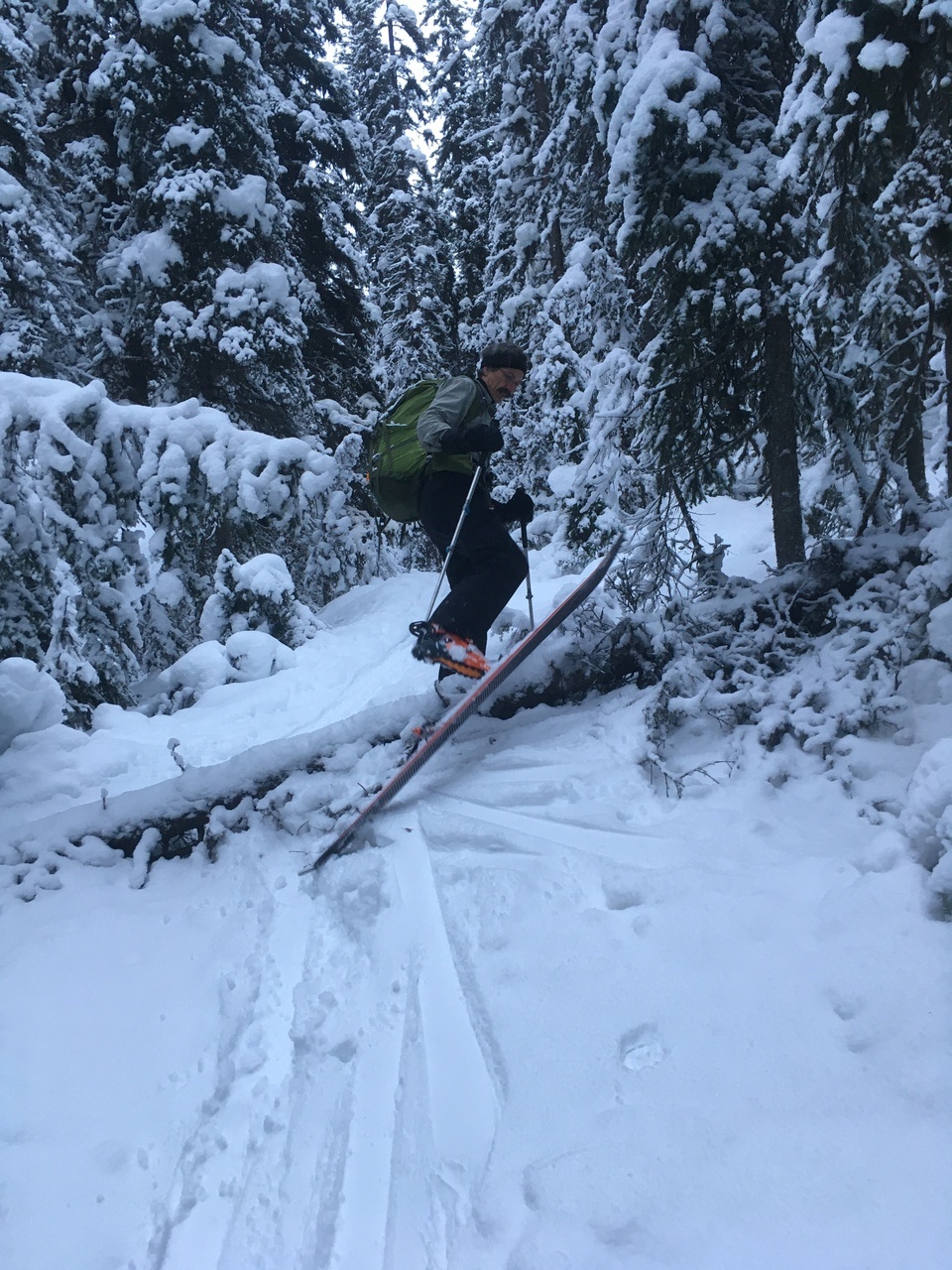
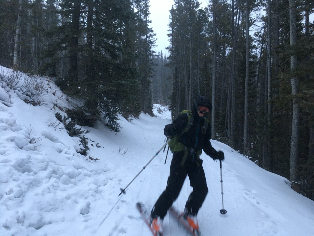
We were quickly forced to become accustomed with awkward manoeuvres on skis, as there was plenty of this along the way!
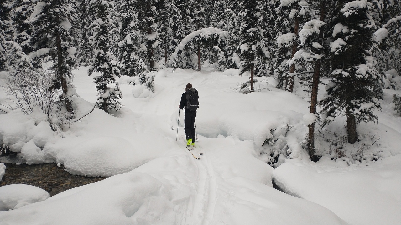
Crossing the creek on a natural bridge...much safer than those sketchy man-made ones ;)! Photo credit: Dad
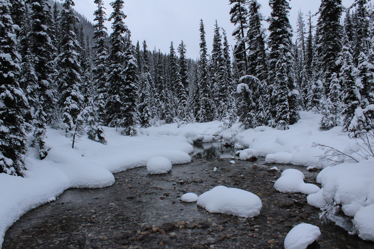
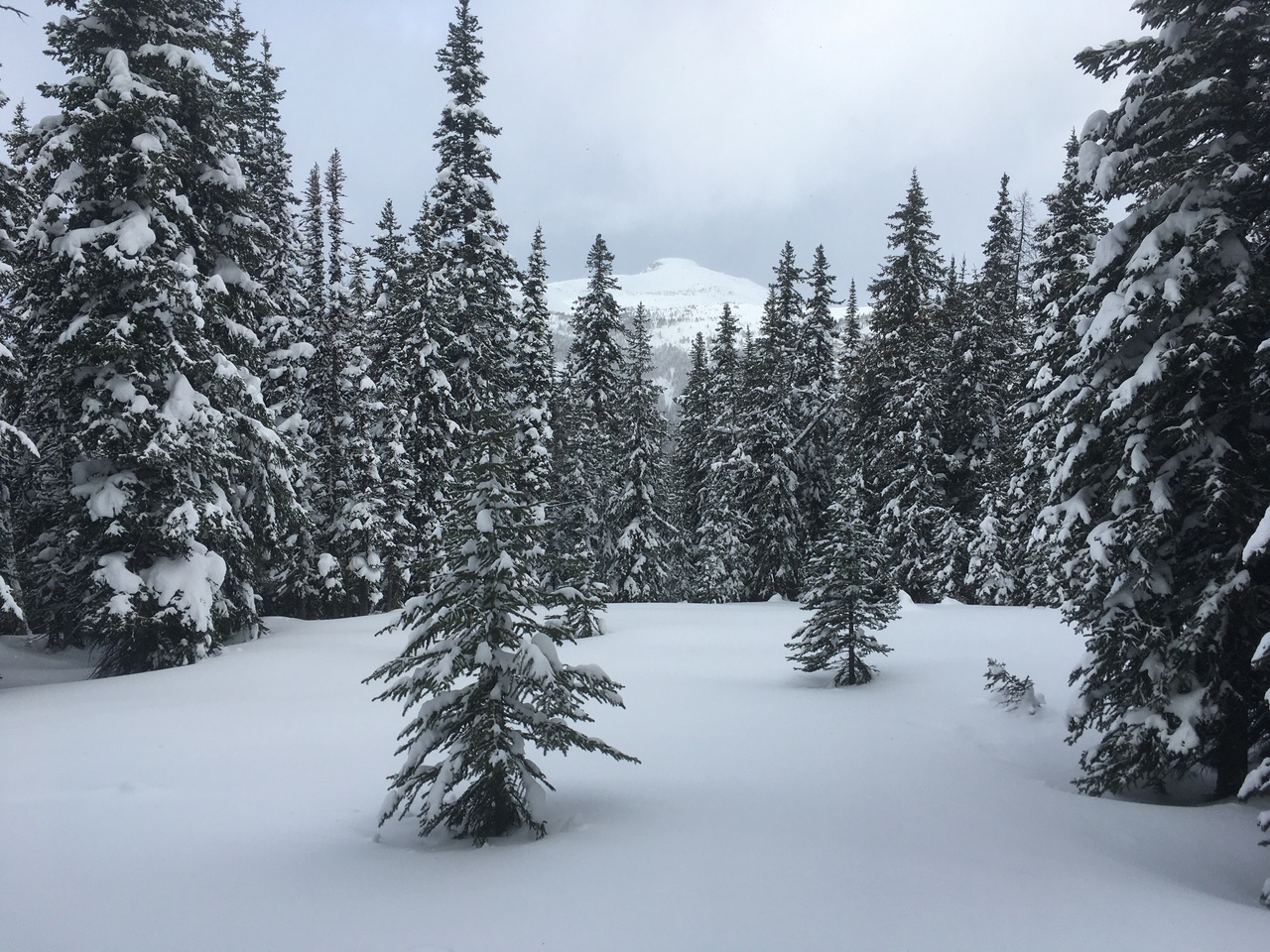
Pretty scenery!
Frequent clearings (like this one) offered some views along the way.
Silly guy tries to cross an optional man-made bridge...with no railing! Would be a shame if he...
...fell! hahaha! Luckily the consequences of falling weren't very high on this one!
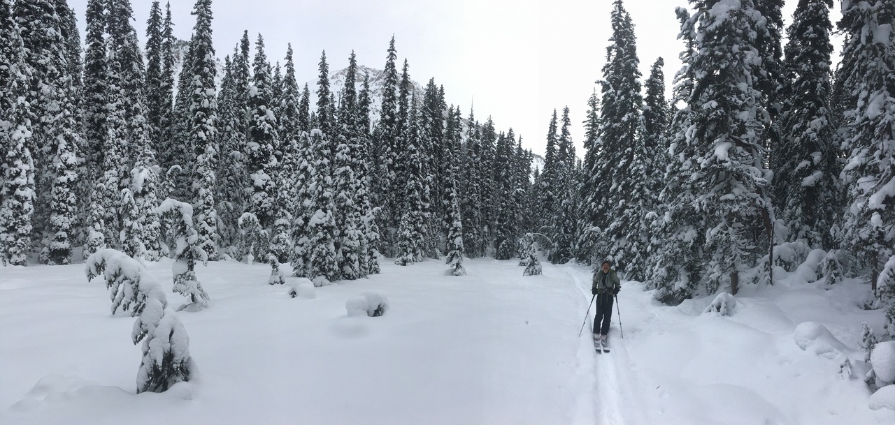
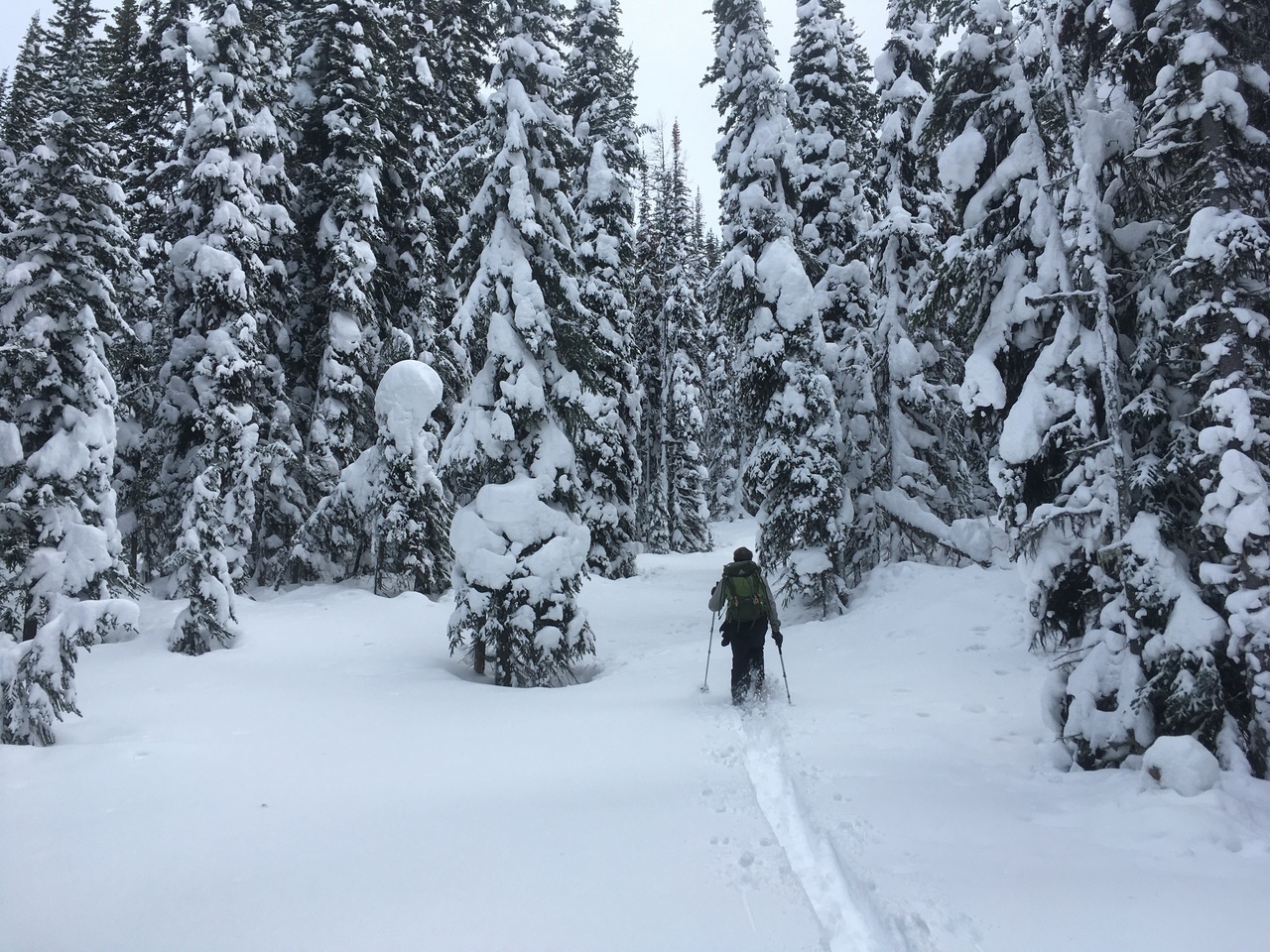
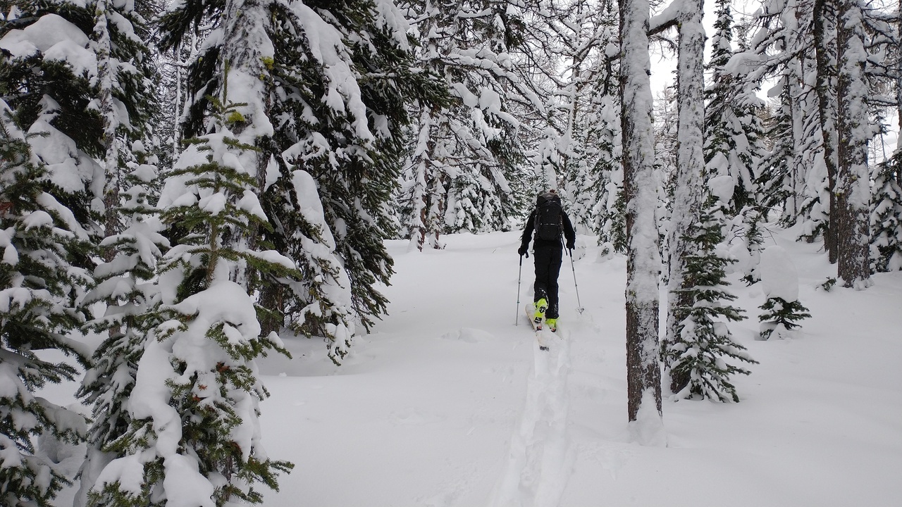
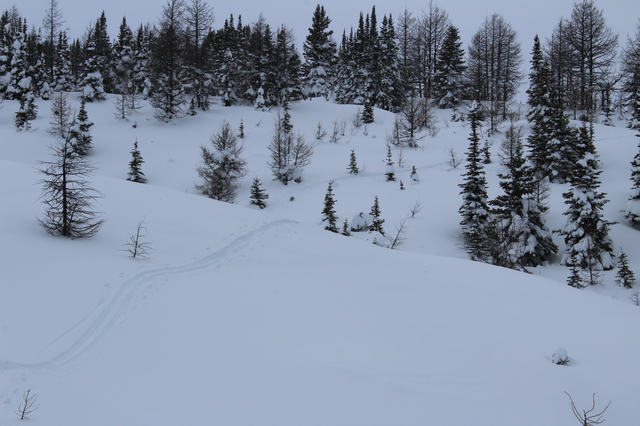
A narrow skin track amongst untouched snow!
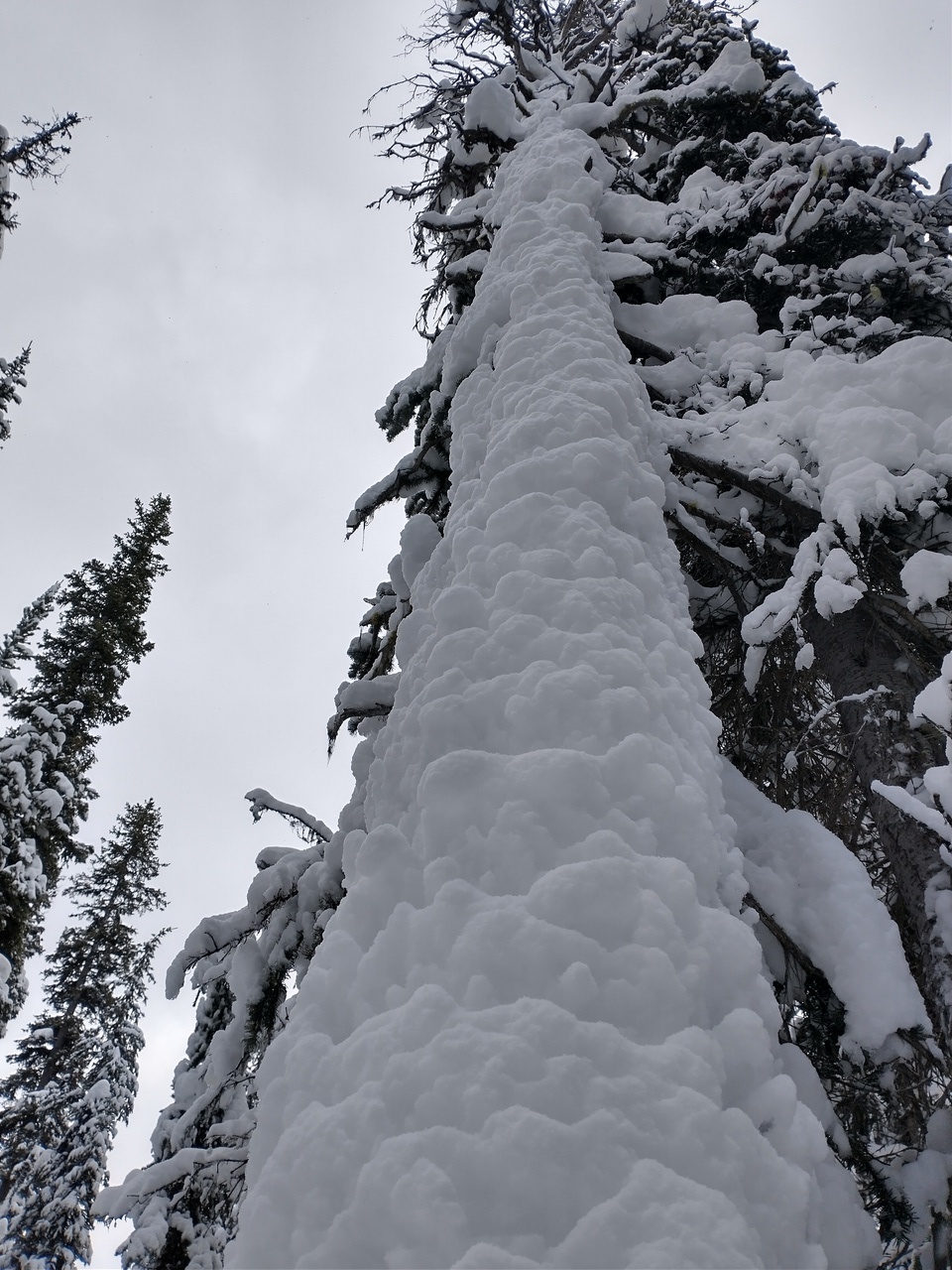
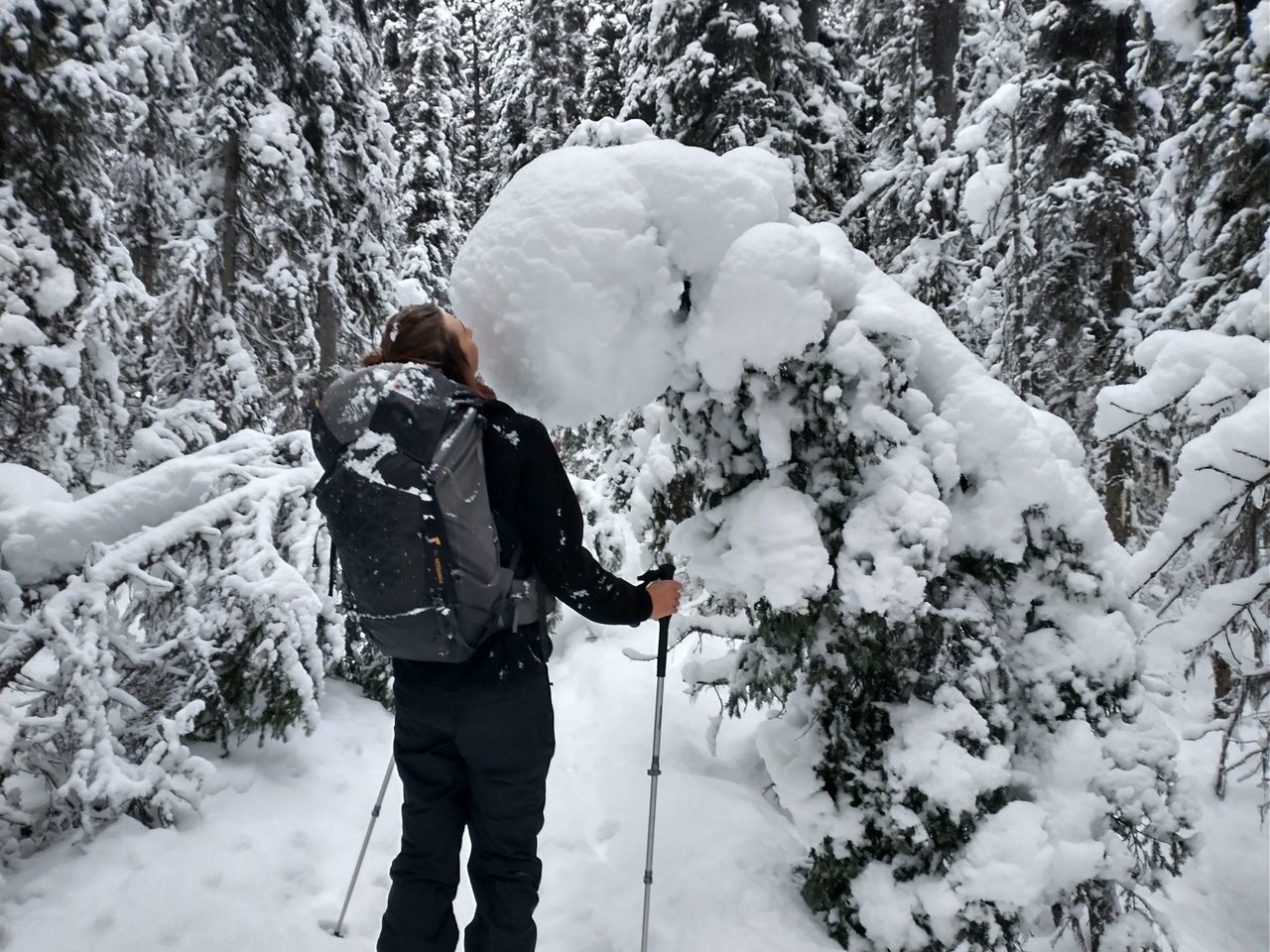
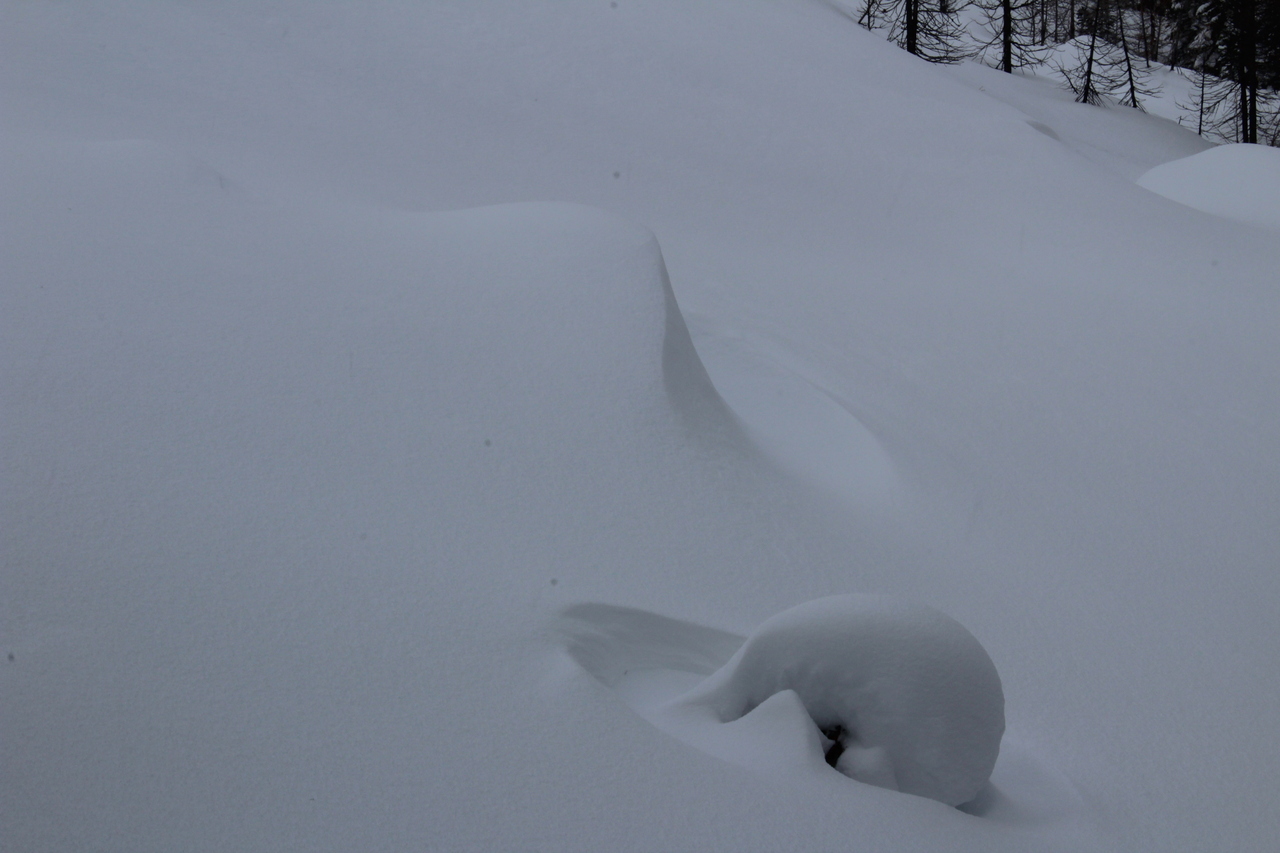
I guess gravity doesn't apply to snow... Photo credit: Dad
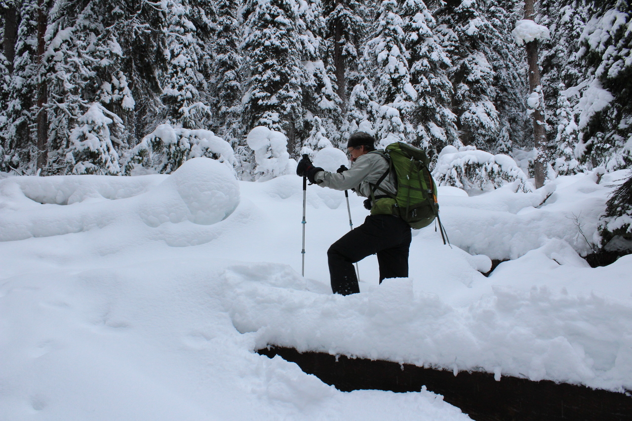
The final "killer bridge" 😂!
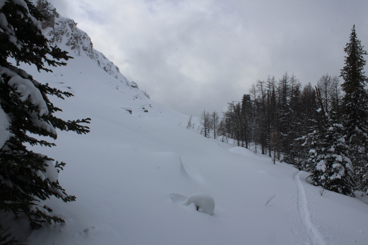
Up until this point we were following signs of previous skin track. As we started gaining elevation, up towards Simpson Pass, all that abruptly disappeared, and it was time to break new trail!
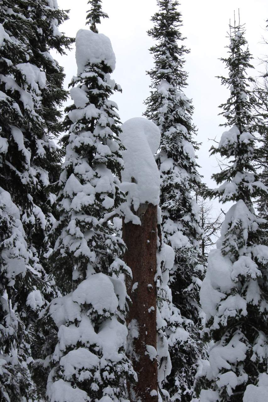
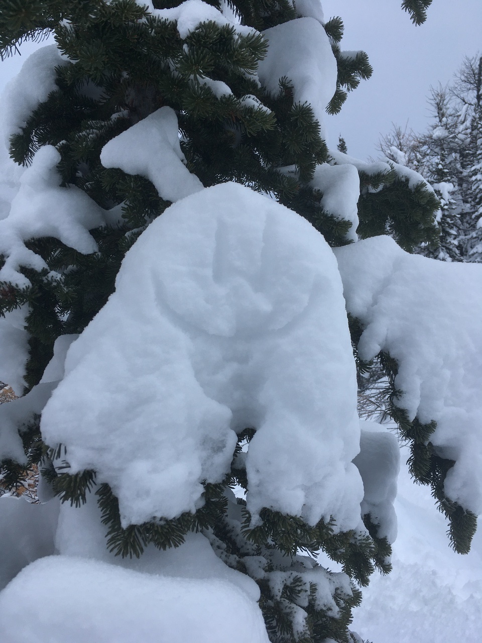
Another Frosty! (like we saw yesterday on Panorama Ridge East!)
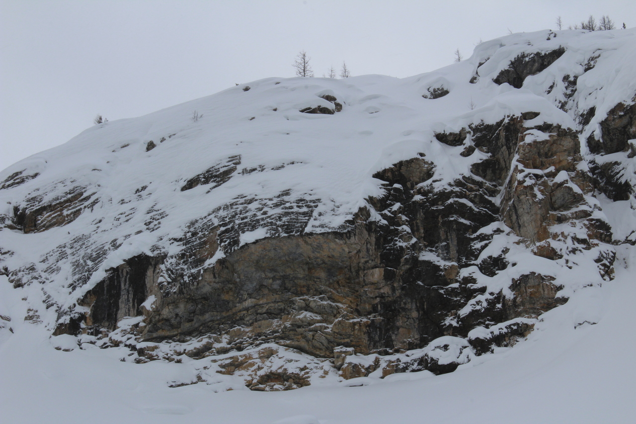
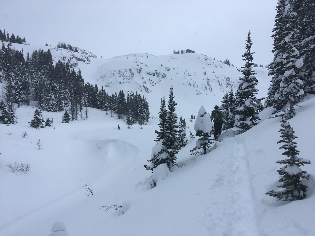
Just past Simpson Pass, these cliffs block the way, and we were forced to backtrack to the east until they tapered out.
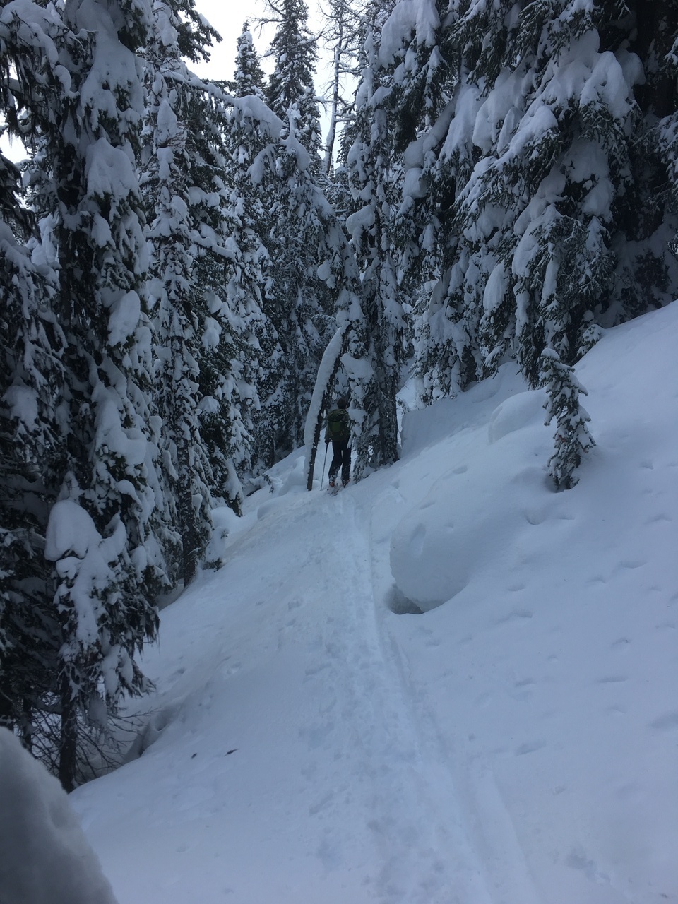
We tried to stay in the trees whenever possible, and kept a lookout for possible avalanche signs from above!
Smooth like butter!
Continuing to traverse below the cliffs.
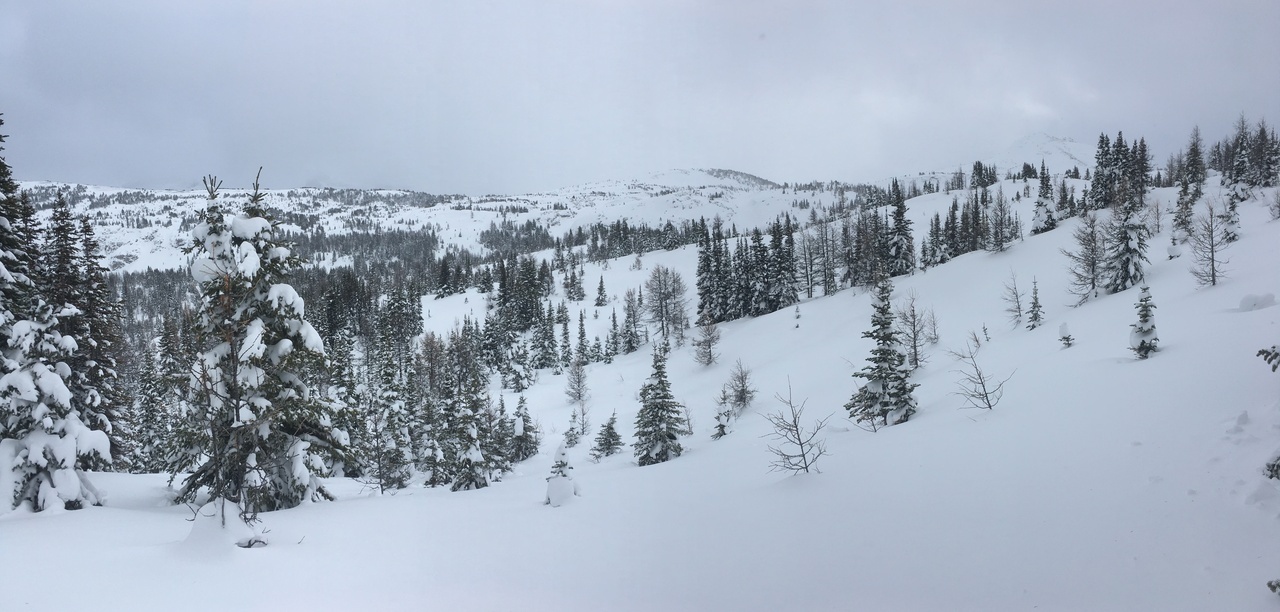
A clearing grants us a view to the north!
Heading up, through the trees. Photo credit: Dad
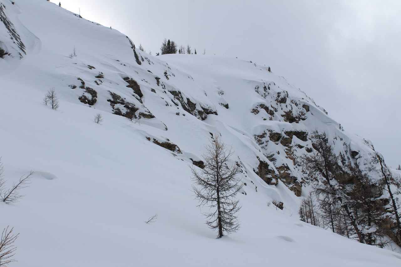
Nearing the end of the cliff band.
:)
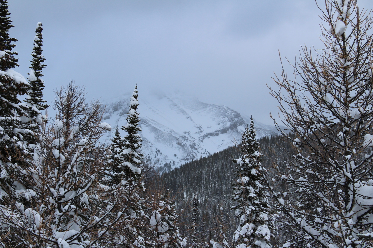
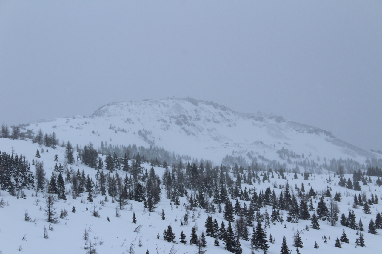
Mount Bourgeau, partly visible on this cloudy day.
After traversing some steeper terrain, through sections of thicker bush, we came across this slope that looked very appealing compared to what we were on, and decided to see where it led.
The slope easily took us up to this ridge, where it instantly became obvious that we would have to descend and then re-ascend to reach our destination. It was nice to have an overview of the terrain from above though!
Descending down to the valley below. Skinning downhill may not be the same as skiing, but it's still faster than walking! :)
Looking back at our beautiful skin track!
The final bit of elevation loss, before we ascended just left of the tree patch on the other side of the valley.
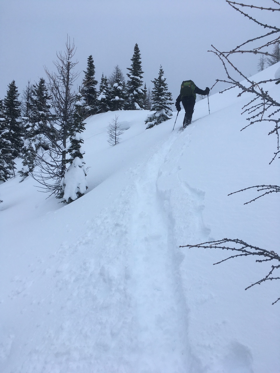
A short stint of steep climbing.
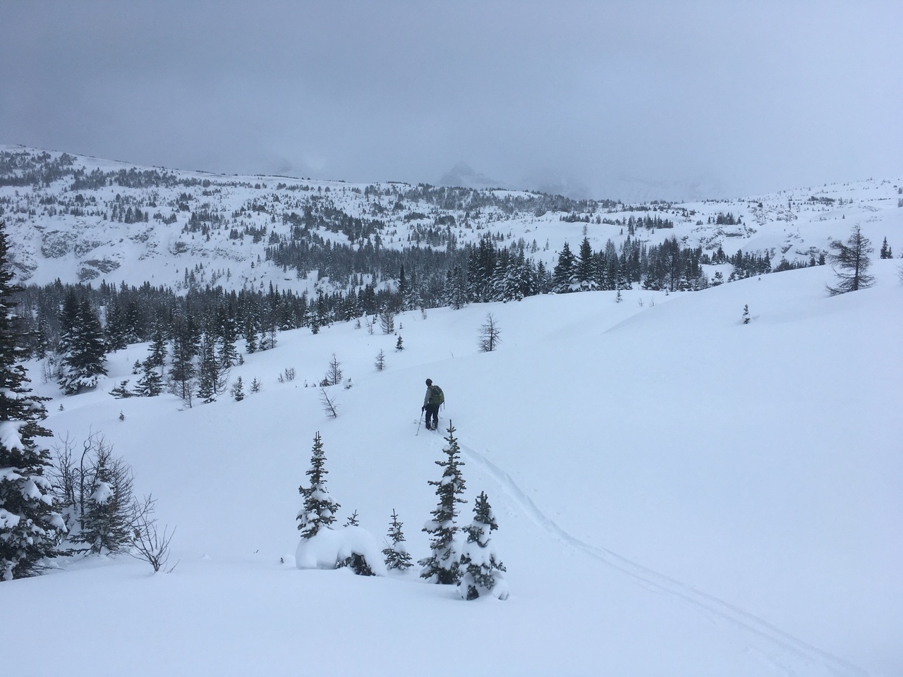
Our skin track fades into the distance as we approach our destination!
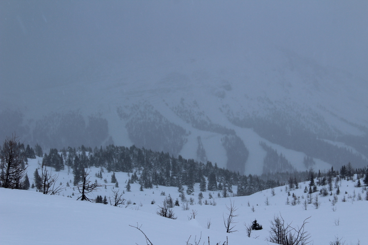
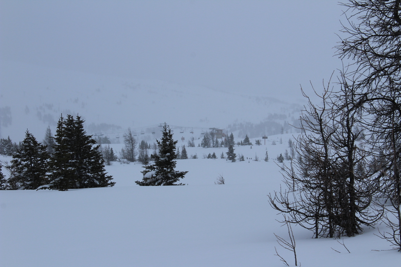
Visibility looks pretty bad on Eagle Mountain (known for Goat's Eye chair) right now!...Glad I didn't pay for a lift ticket ;)
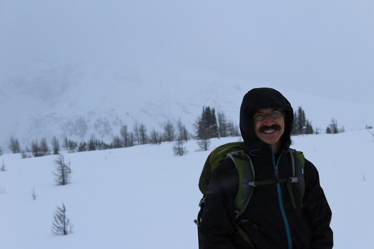
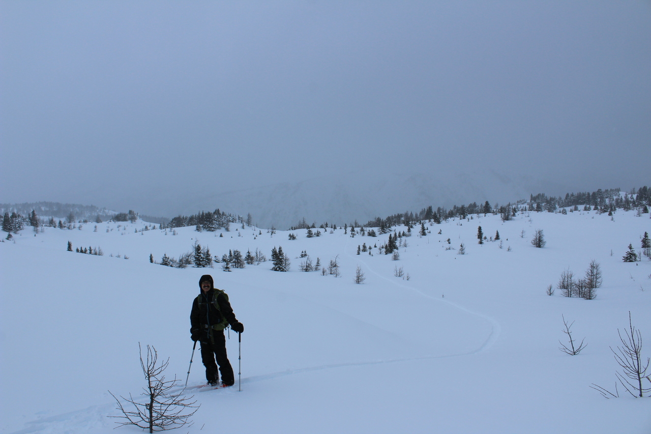
My dad at our highpoint of the day! Brewster Rock, known for housing Divide, Angel, and Teepee Town chairs is barely visible in the whiteout behind.
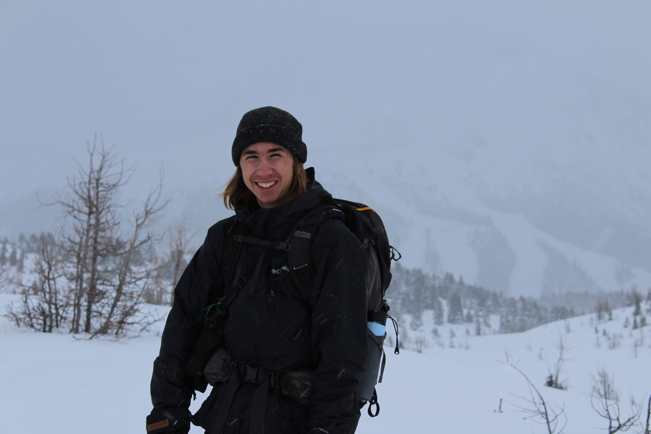
Me on the "summit" of our adventure! Photo credit: Dad
Looking towards the summit of Wawa Ridge.
After skinning a little ways further, the top of Wawa chair came into view, and it was time to switch to ski mode, and descend the mountain!
Back on the lower ski-out...which was apparently "closed"...but I didn't pay for a lift ticket, so...what they gonna do? ¯\_(ツ)_/¯ (Certified rebel :P) Photo credit: Dad
Almost down in a matter of minutes, from what took multiple hours to ascend! That's the beauty of skis for ya!
Disclaimer