Date: January 8, 2022; July 26, 2022
Location/Route Map: Skoki
Elevation: 2431 m
Elevation Gain: 730 m
Distance: 13.4 km
Rating: Class 2
Avalanche Terrain Rating: Challenging
Notes: There is some avalanche risk on our route while ascending the open slope above the treeline. By continuing to the back of the valley before looping back up, you'll find lower angled slopes and decrease your exposure to avalanche terrain.
GPS Track: Download
Let me start off by saying, if a couple things happened slightly differently, this report would have a much different tone, and this could have been a great day...But unfortunately for us (especially my dad), things didn't happen slightly differently, and I will forever have bad memories associated with Wolverine Ridge. The original plan was Crystal Ridge across from Bow Lake, but that all changed when someone decided it would be a good idea to leave the Icefields Parkway unplowed, and we ended up in an all wheel skid, plowing into the snowbank on the side of the road. Luckily no one was around, or got hurt, and thank goodness for backcountry shovels, as we had to dig ourselves out! Though our car seemed to come out unscathed, we didn't want to risk getting in trouble in an area without service. Needless to say, our Crystal Ridge plan was tossed. We drove back towards Lake Louise, and I remembered the ridge guarding the west side of Wolverine Valley. We didn't know exactly if it was do-able or not, but we decided to give it a go, and as much as we hoped all the bad for the day was behind us, that just wouldn't be the case...
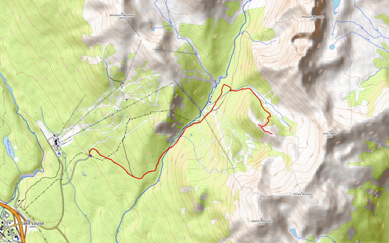
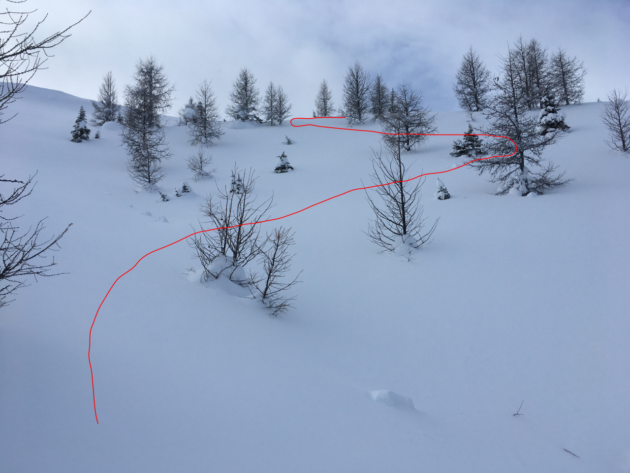
Wolverine Ridge Route Map (see link in desciption - or click here - for interactive version).
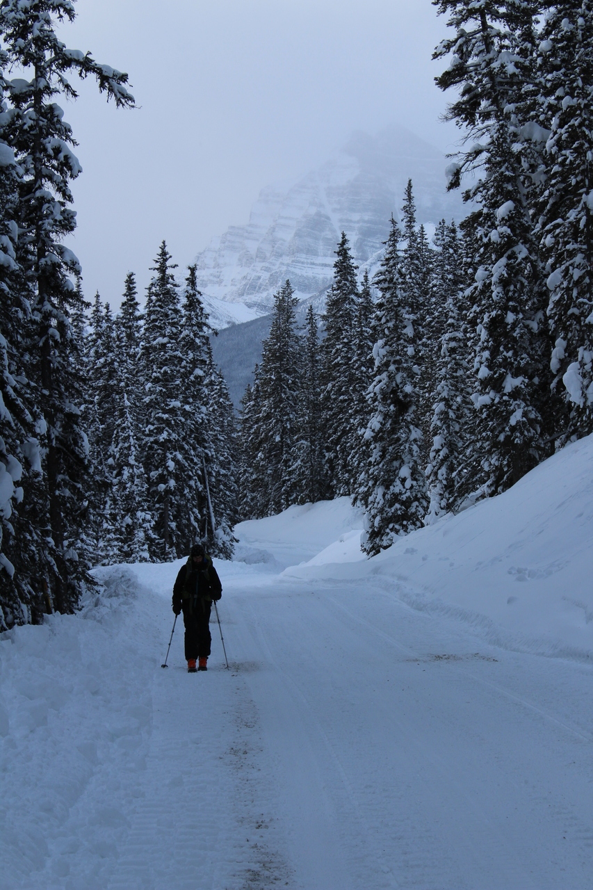
Skinning up the Temple Lodge access road. Unfortunately it's just as long and boring in winter as it was a few months ago when we did the Lipalian Loop...
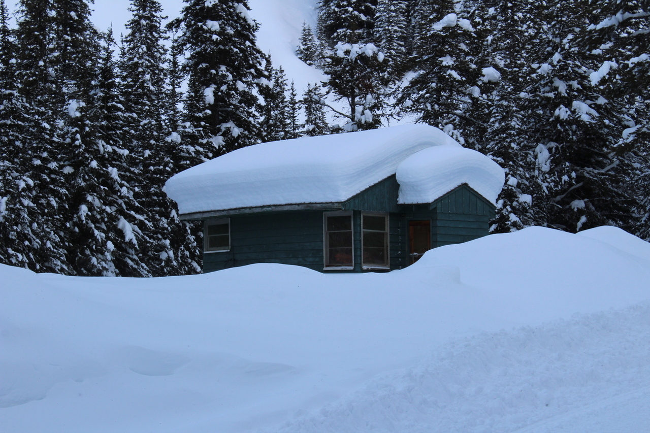
...At least this hut's got some character in winter!
Can't get enough of the view of Temple from this side of the valley! Little Temple sits beneath.
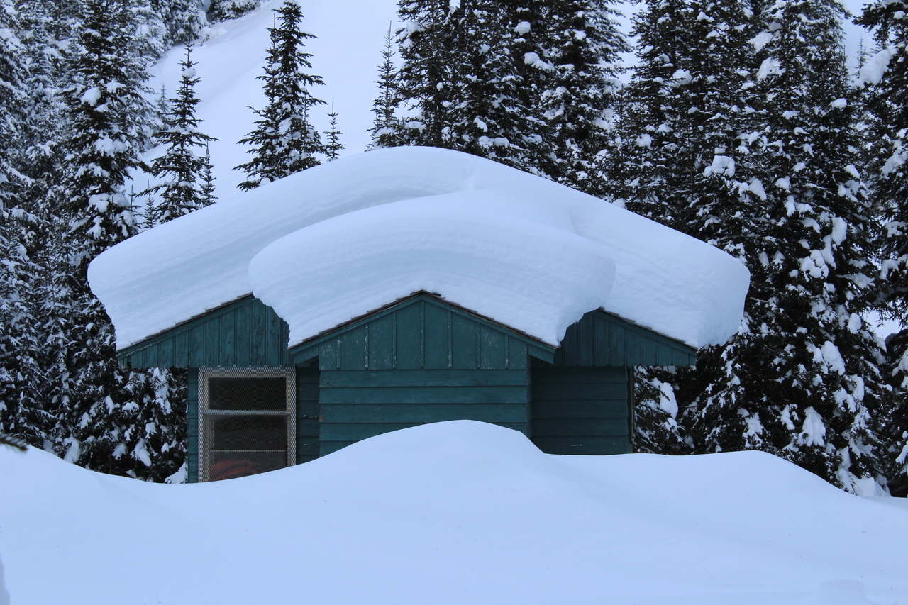
Another angle of the snow covered hut :)
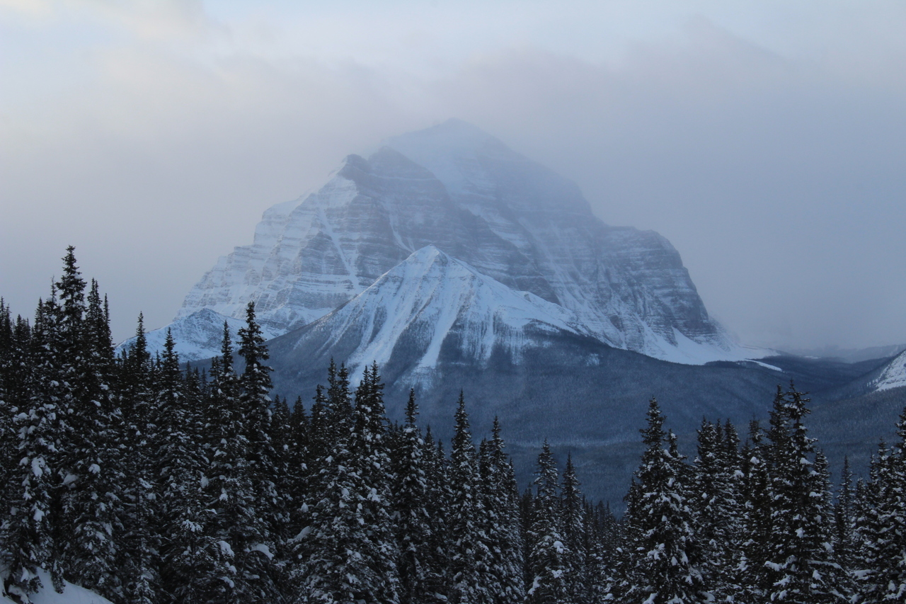
Sheol, Saddle, Haddo, and Fairview join the scene on the right!
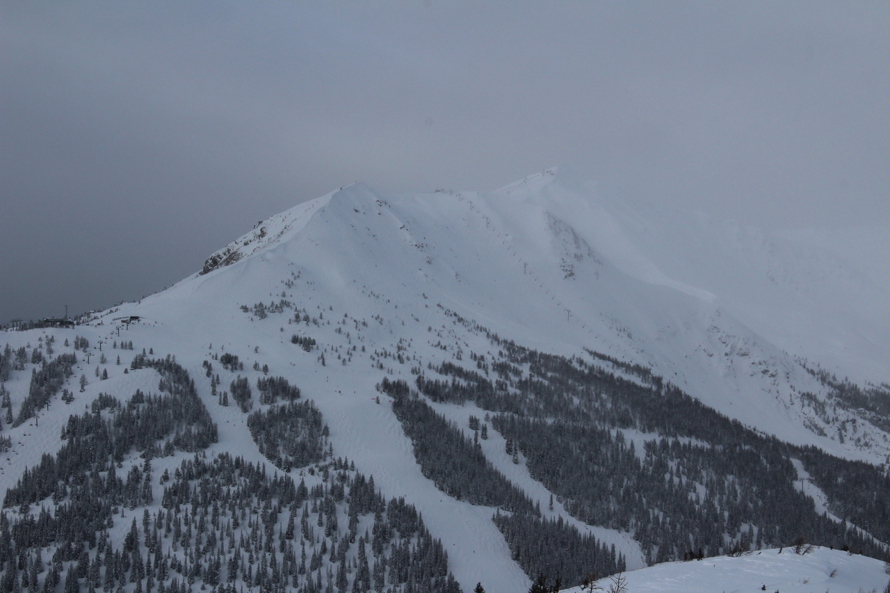
Our objective, Wolverine Ridge, finally comes into view on the right, as we approach Larch Express Chair! Redoubt Mountain rises left.
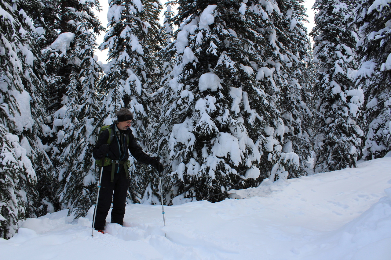
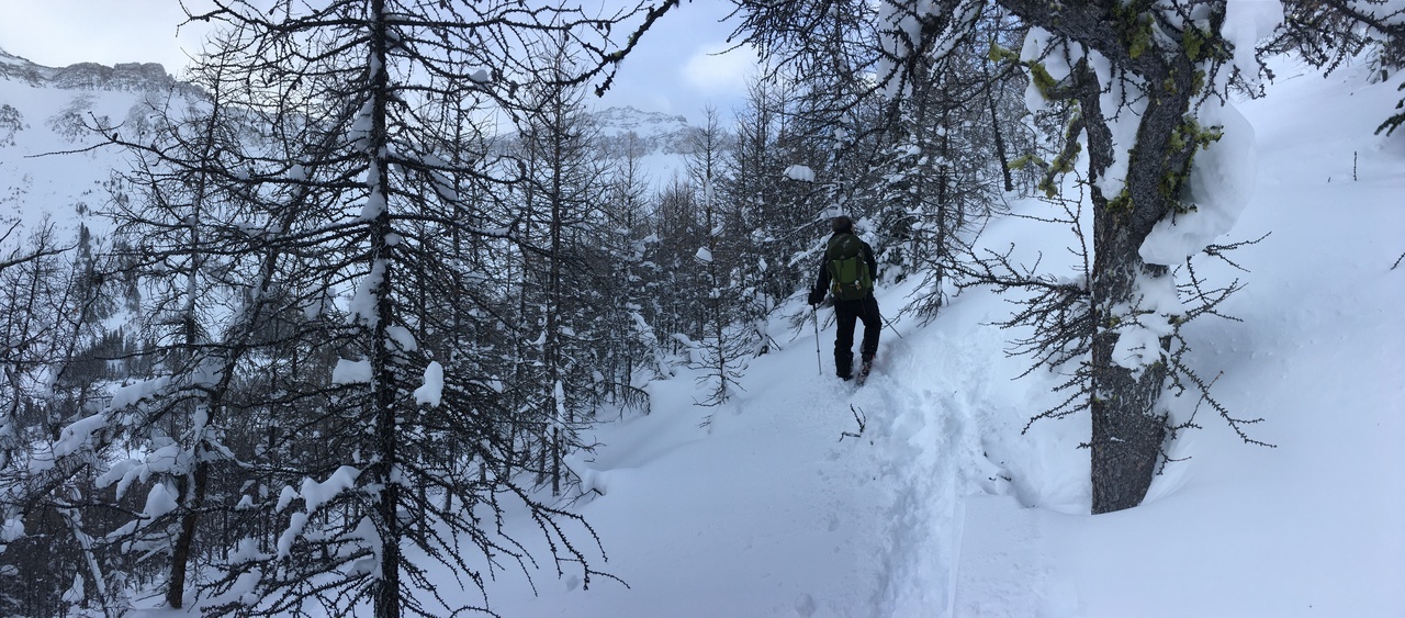
Having just been here in fall, we didn't think to check our GPS, and just crossed a couple ski runs before following a trail past the ski resort. We kept our eyes peeled for any signs of trails leading up to Wolverine Valley, but after some time, we thought something was up. We finally checked our GPS, and sure enough, we were on a trail lower than, and about 150m west of, the trail we should have been on. Who knew there were multiple trails leading to Skoki...not me! ¯\_(ツ)_/¯ We left the trail we were on, trudged straight up through the forest, and soon reached the "correct" trail.
Starting up the "trail" leading to Wolverine Valley.
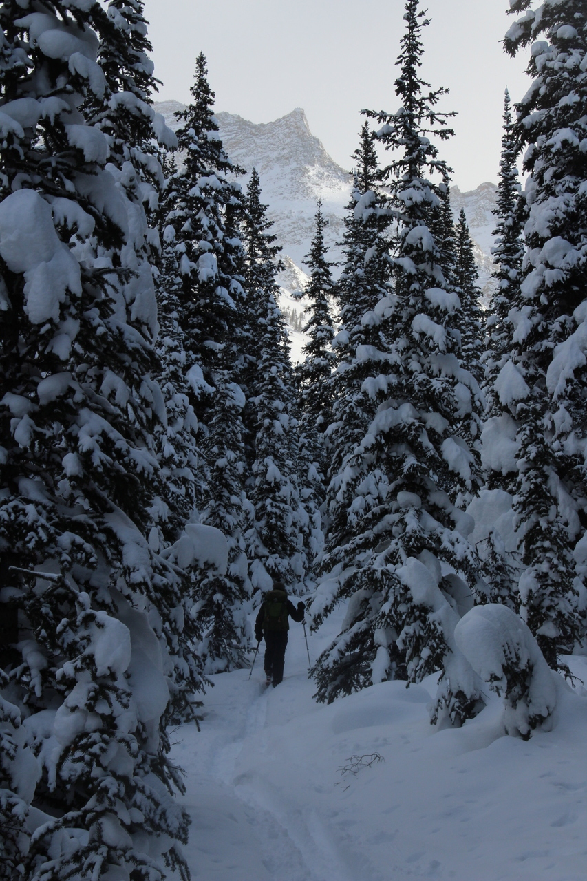
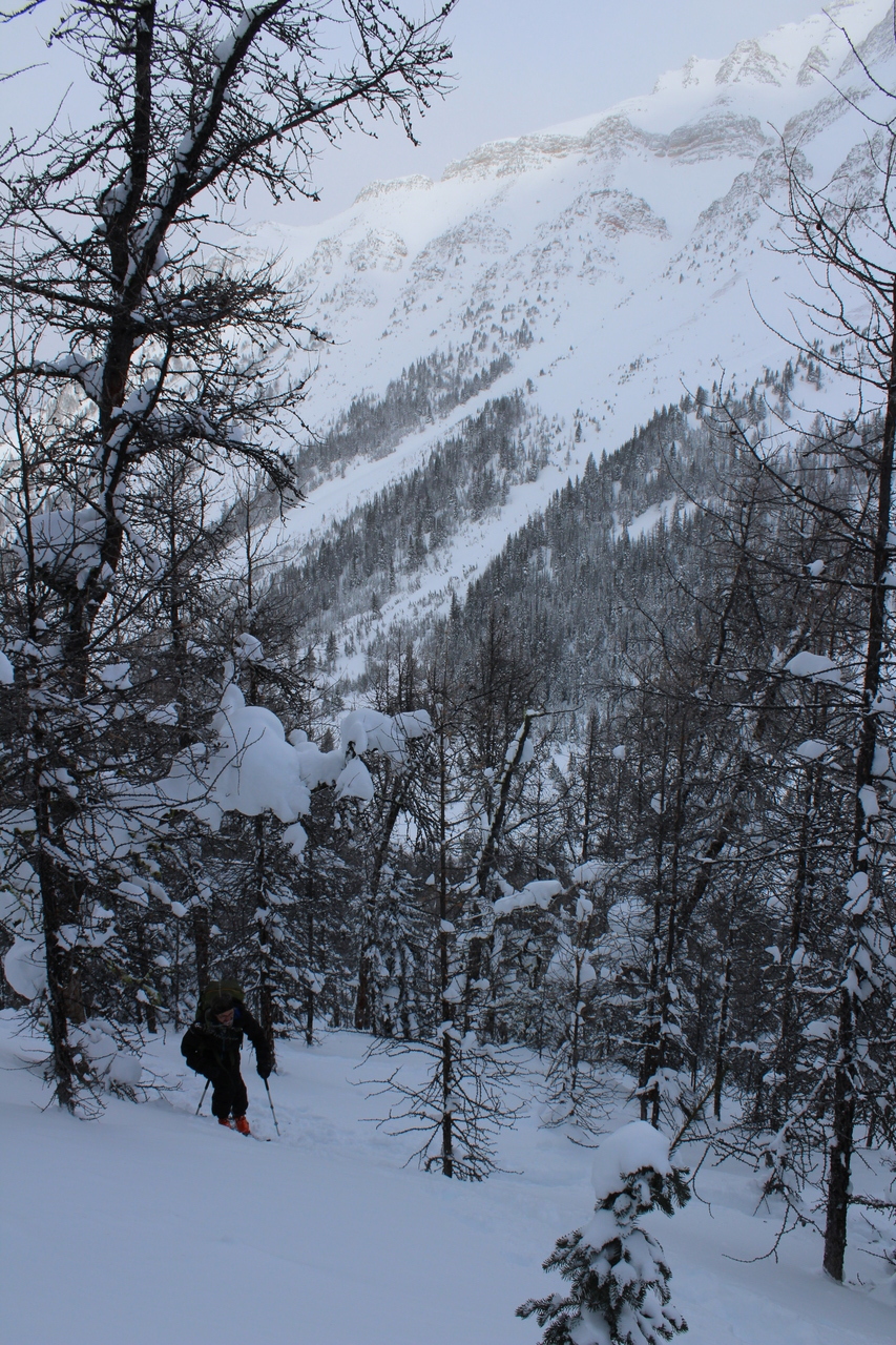
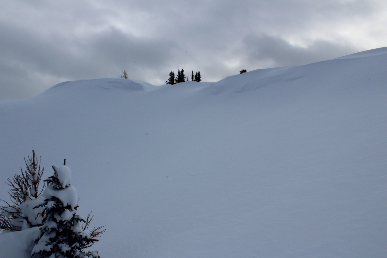
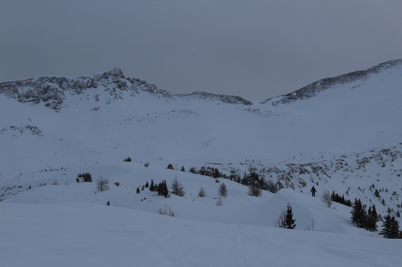
The terrain soon opened up as we reached Wolverine Valley...but that also meant less protection from the wind!
Unity Peak sits at the end of the valley.
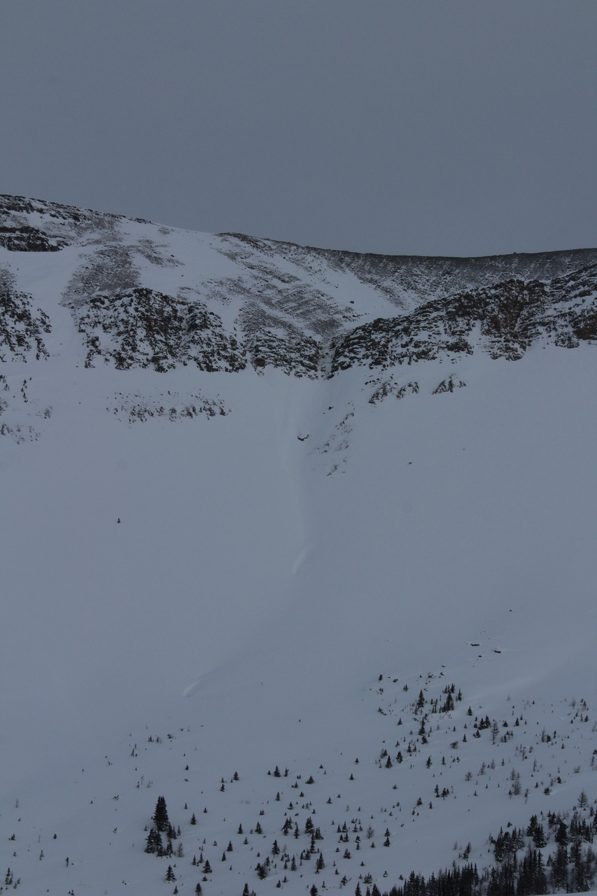
In looking at the contour lines on our map, my original plan was to skin to the end of the valley, followed by ascending towards Purple Mound, and then backtracking along what appeared to be fairly flat terrain to Wolverine Ridge. With the wicked wind however, and having no clue if that plan would even work out, we decided to change our route, and switch-backed up steep terrain in the trees. This route provided more shelter, and was much more direct, but we had no idea what lay ahead, and had to accept that we were just exploring, and that this route may not lead us to the summit.
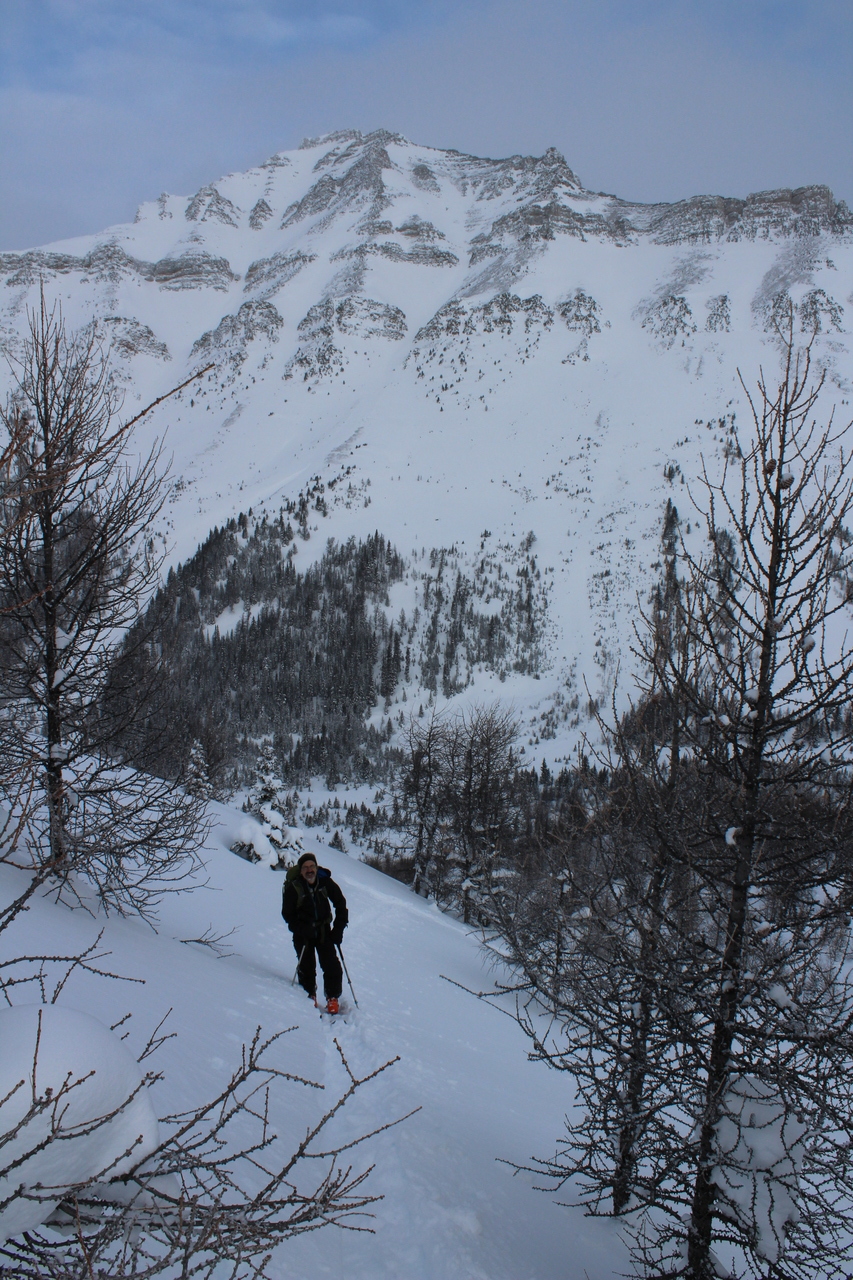
After a long trudge up to the valley, this route was much more rewarding, as we quickly gained elevation and actually felt like we were going somewhere!
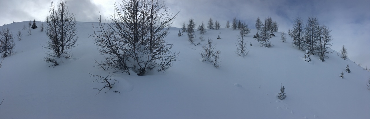
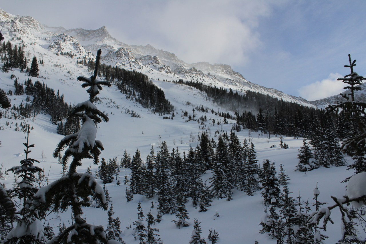
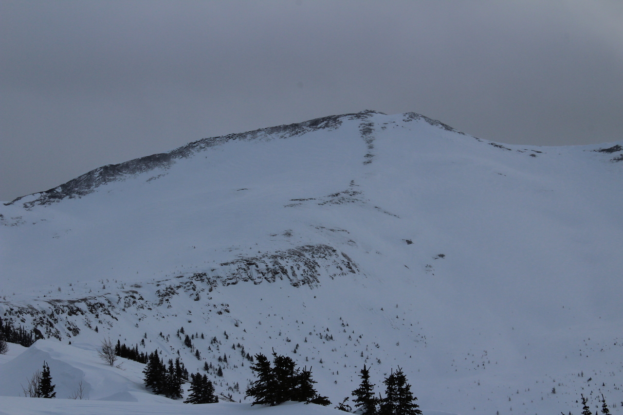
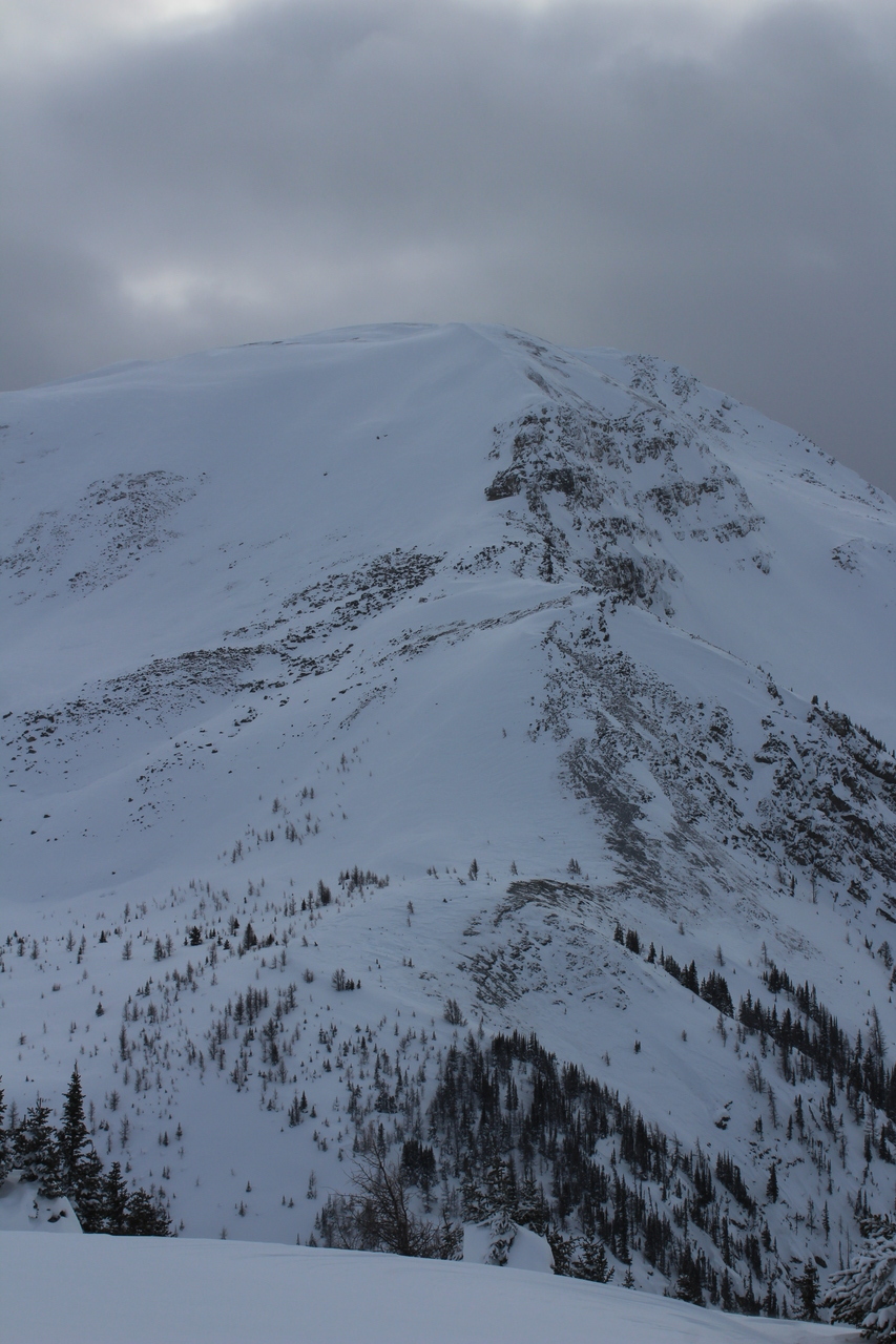
The dense trees eventually thinned out, and this fairly open slope lay between us and the summit ridge...
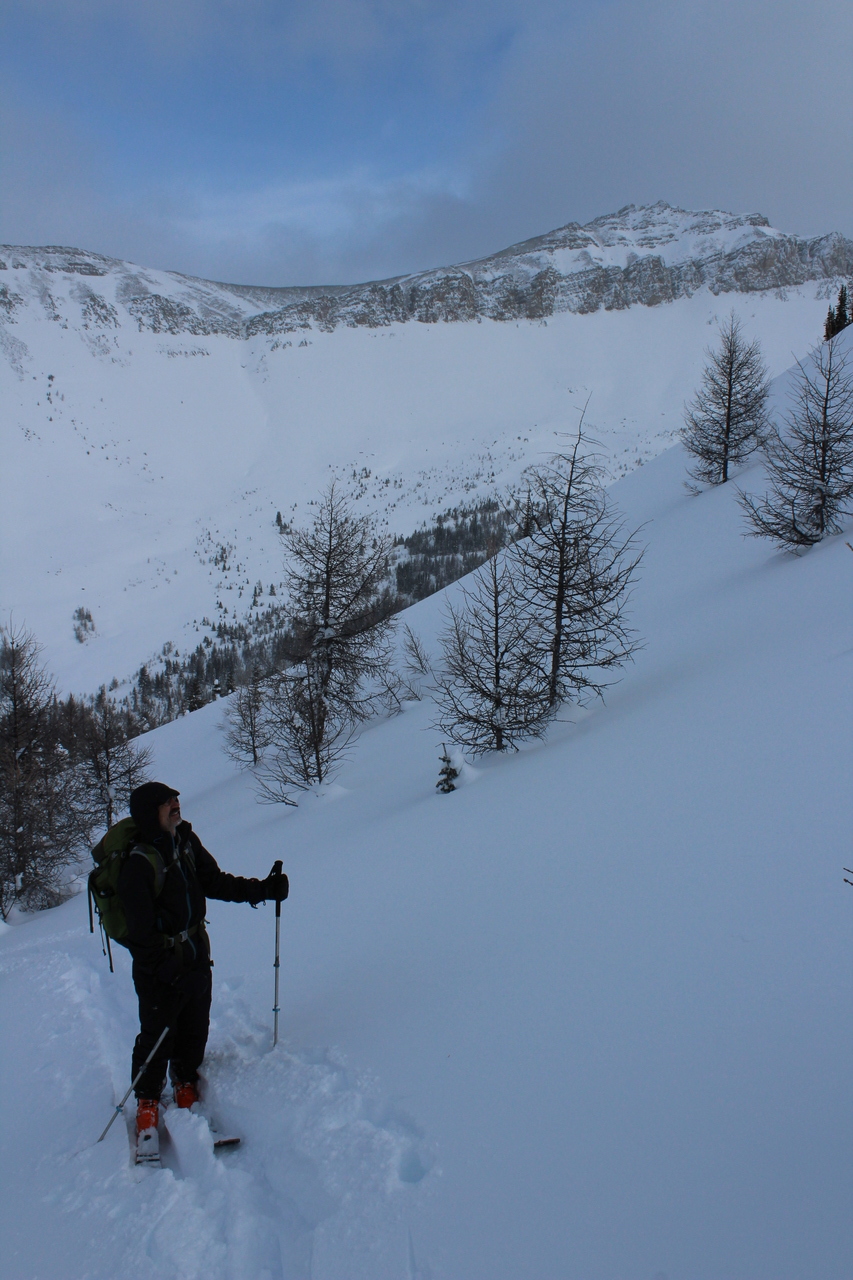
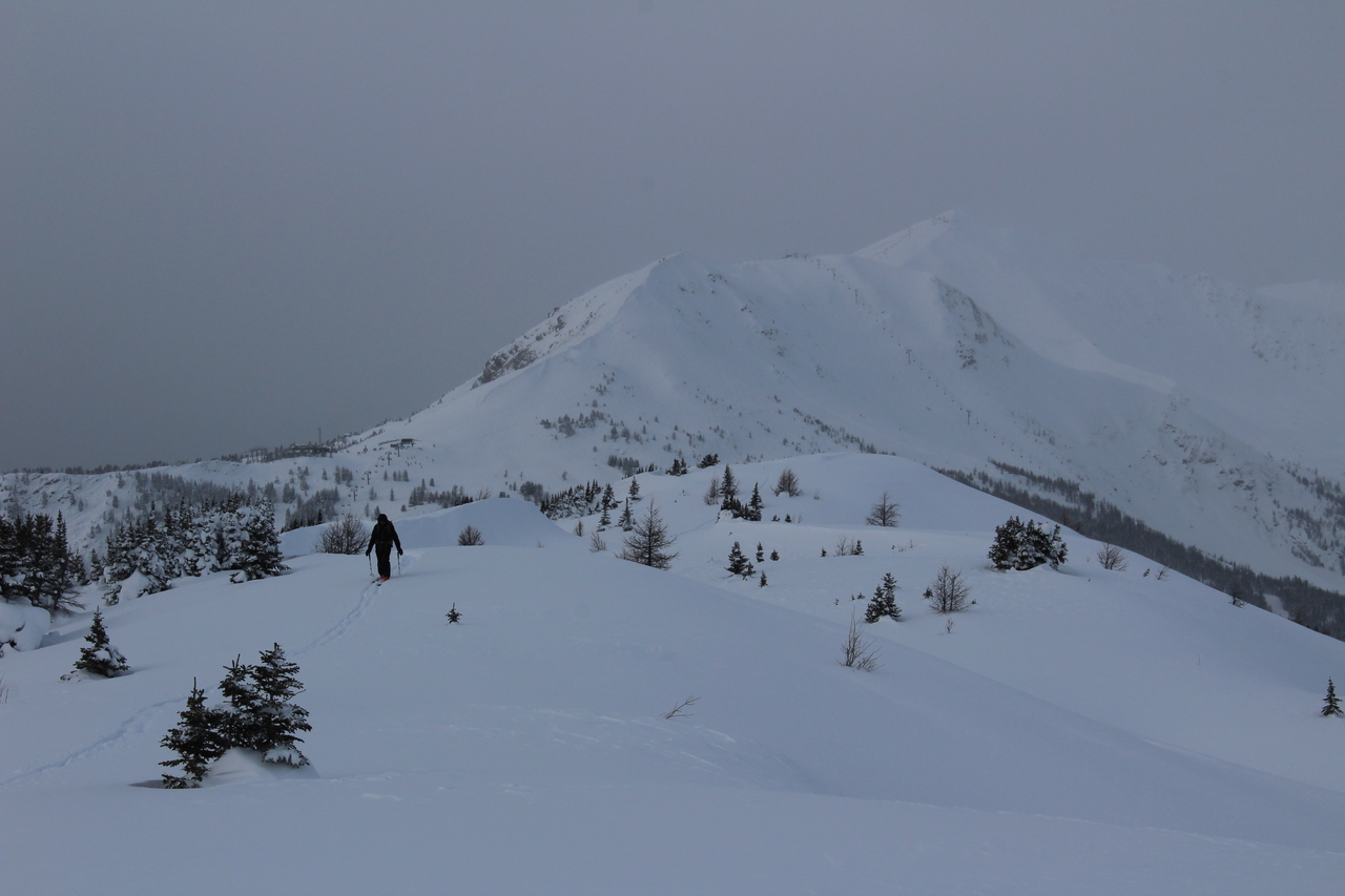
My dad considers different route options that lie ahead.
We both agreed that this route would be the safest, but still used caution.
Switch-backing up the final slope!
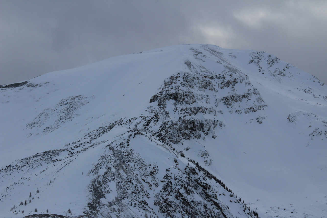
Looking up to the ridge crest, across the more open slope we chose to avoid.
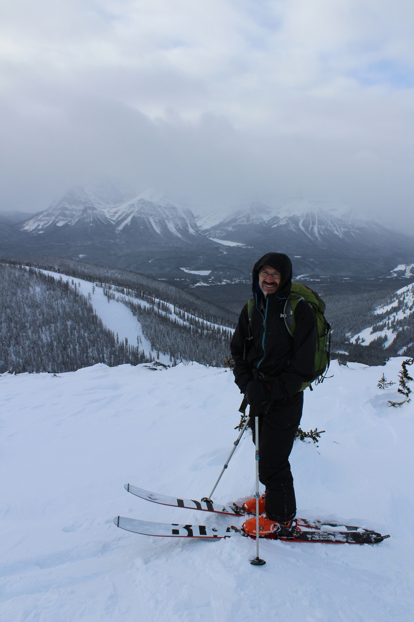
My dad approaches the summit of Wolverine Ridge!
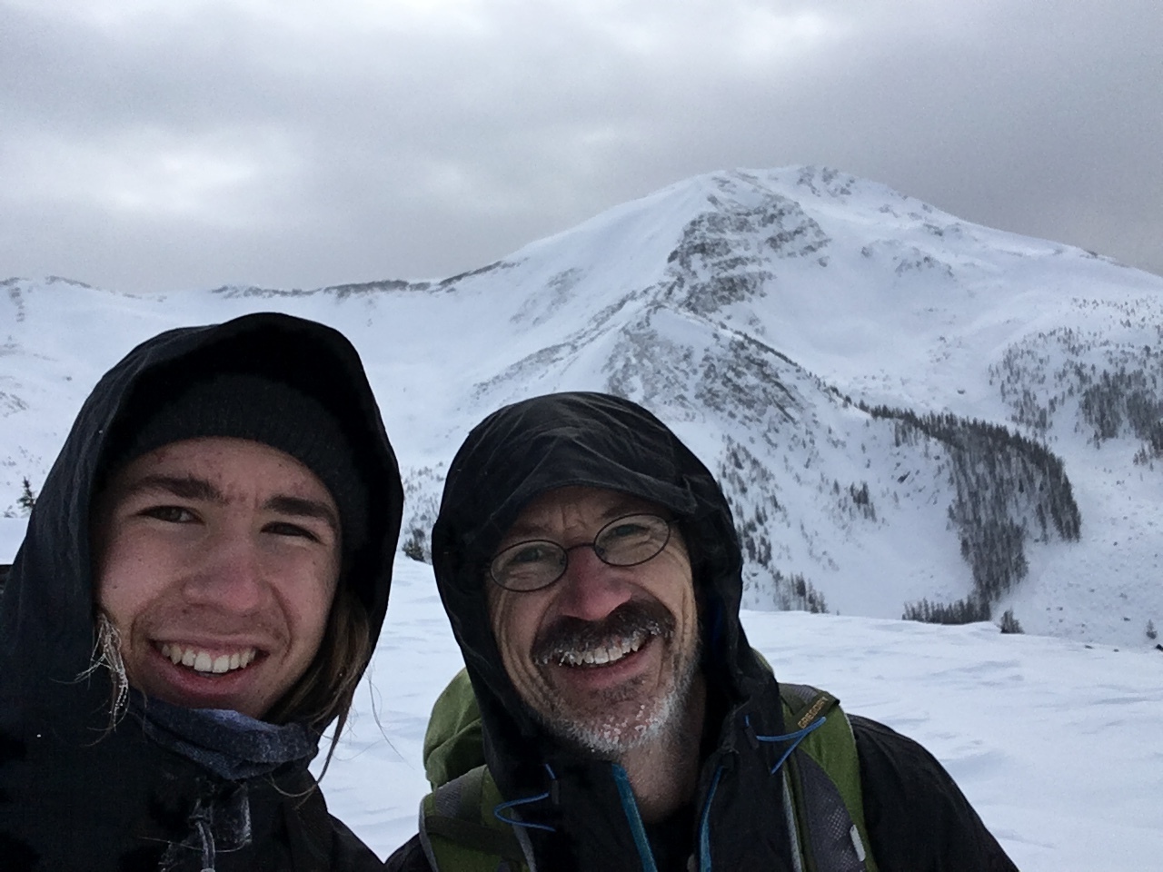
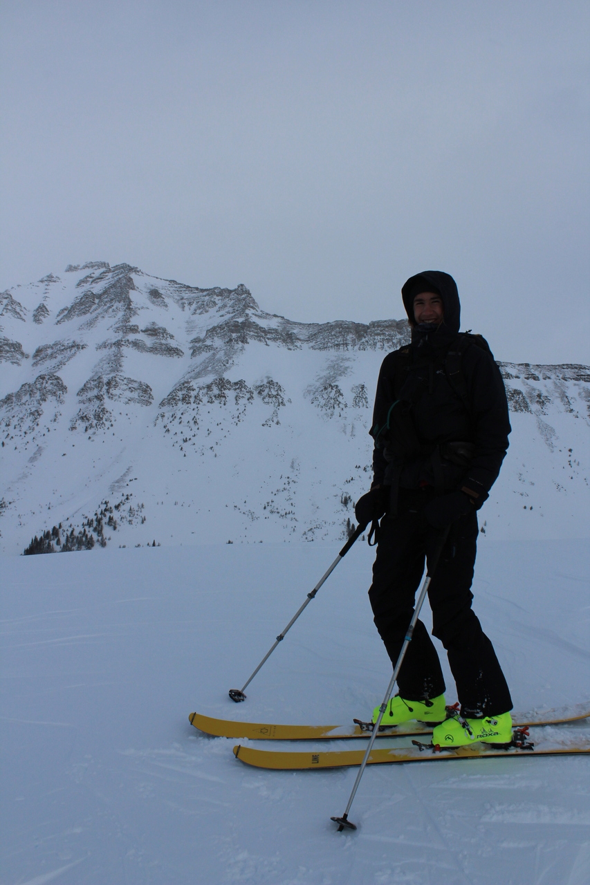
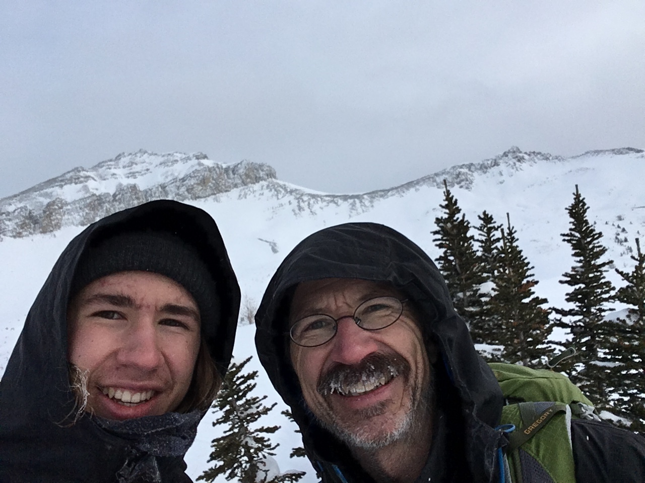
Summit selfie!
...Purple Mound...
... and Unity Peak! A lot more snow has fallen since we completed the loop of these three peaks back in October!
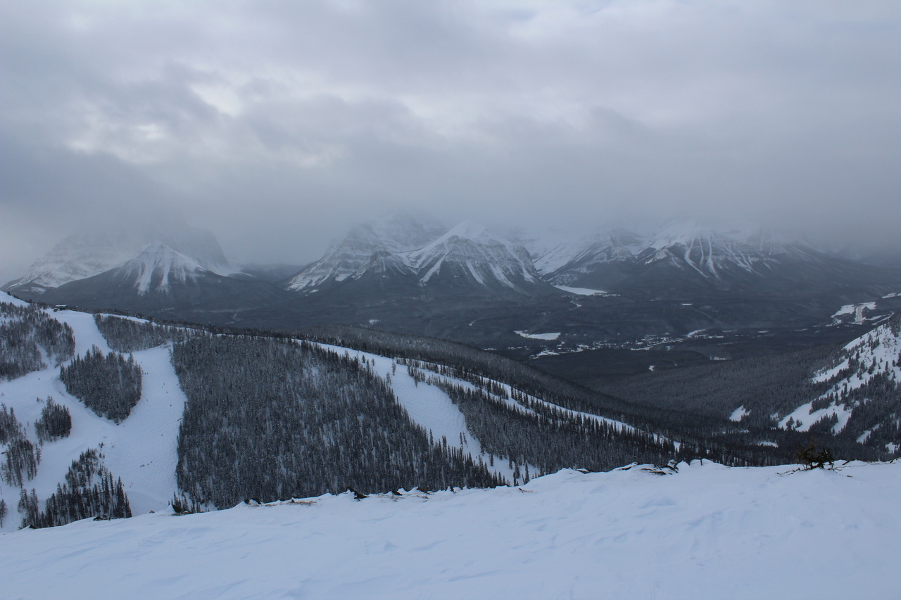
Looking across to Whitehorn Mountain, home of the Lake Louise Ski Resort.
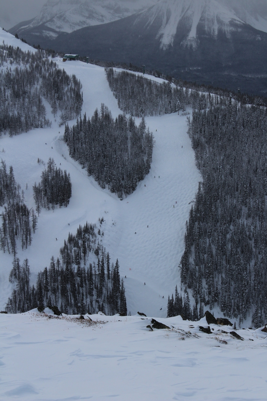
How many skiers can you spot below?!
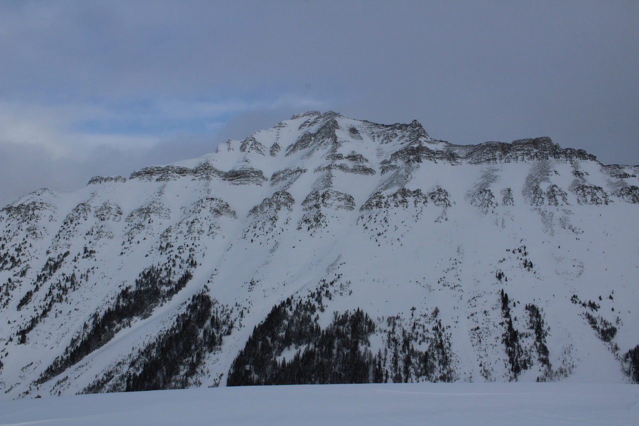
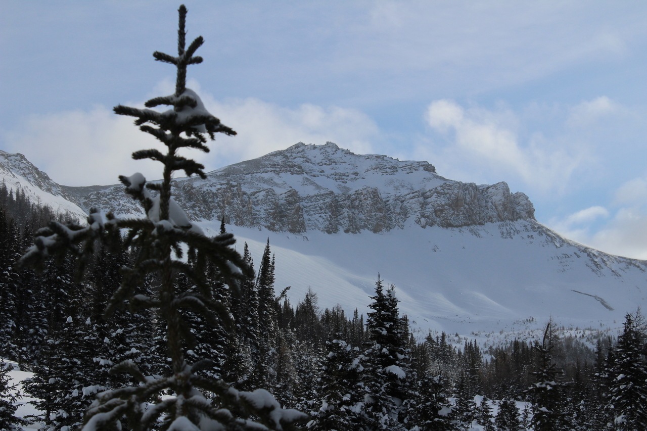
Redoubt Mountain rises high on the opposite side of Wolverine Valley!
Me, on the summit of Wolverine Ridge! Photo credit: Dad
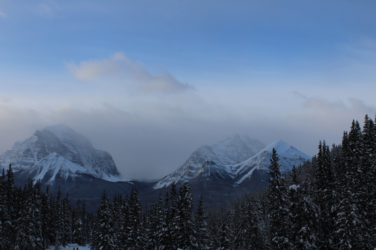
My dad with the cloudy Lake Louise group!
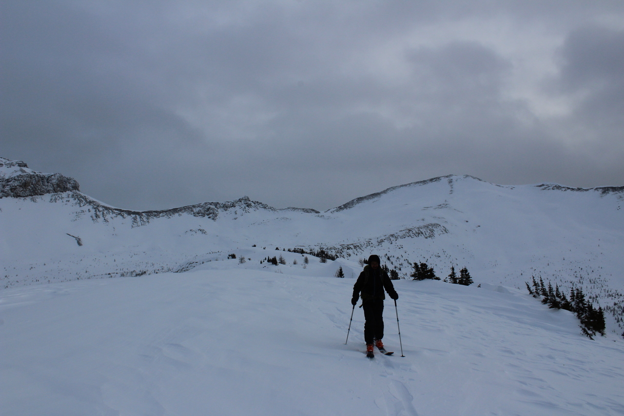
Since we were already up here, I wanted to traverse along the ridge to the other highpoint to the east.
My dad joins me on the other highpoint, with the summit center-right. To be honest you could consider this the summit as well, as our GPS came up with the same elevation at both points...¯\_(ツ)_/¯
Most of the Louise peaks, across the valley, are covered by cloud.
Lipalian Mountain is much more impressive from this angle compared to the highway view!
Across Wolverine Valley lies the frozen waterfall that we scrambled down beside, when descending Unity Peak.
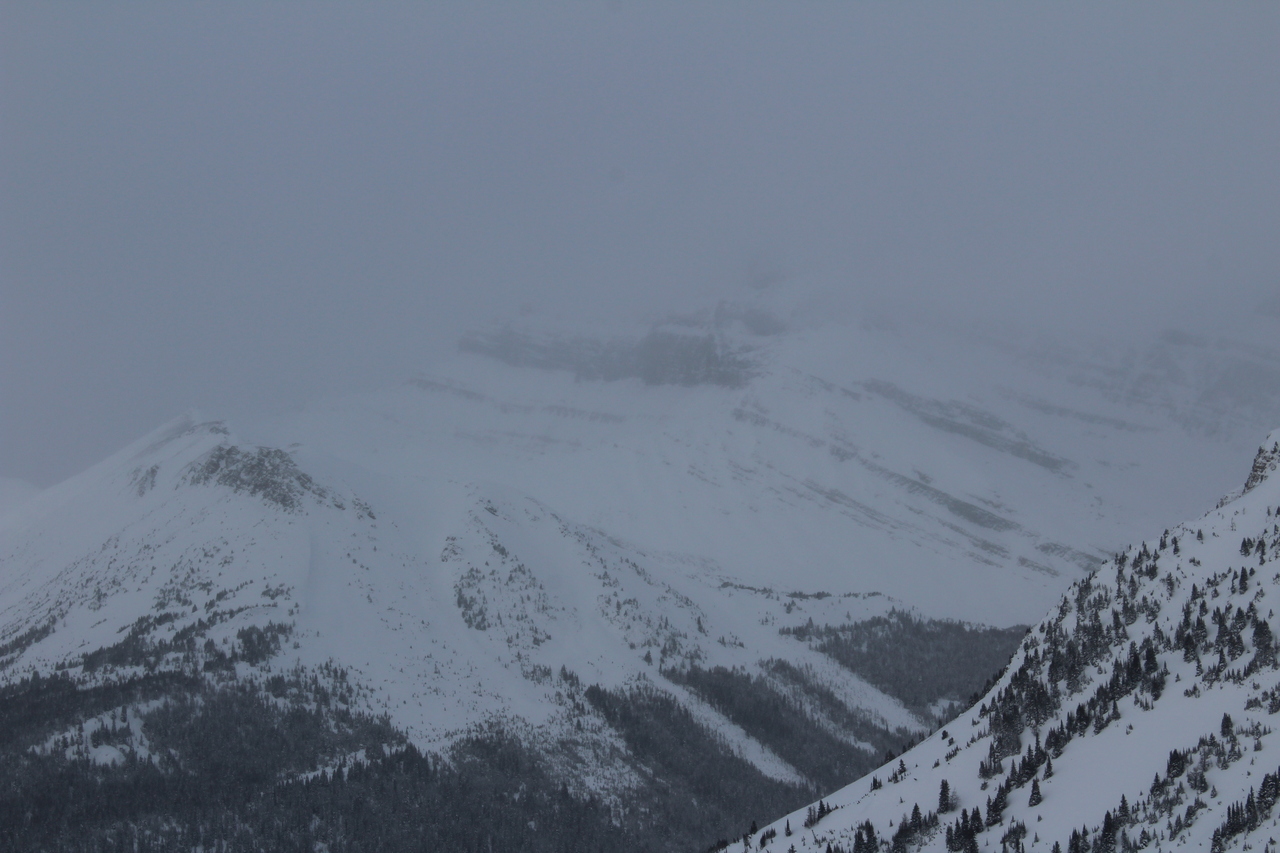
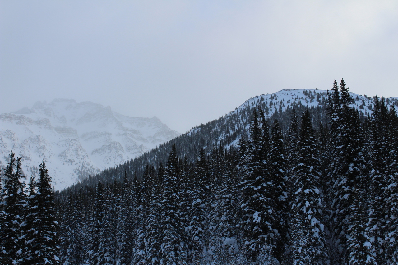
Mount Richardson, barely visible in a whiteout!
Summit selfie 2.0...in case this is the official summit ;). (If in slideshow mode, exit now for a run-down of what happened next...)
...Now you're probably wondering what was so bad about this day, and to be honest, at this point...nothing! The skid from this morning was behind us, and we were successful at route-finding our way to the summit of our objective, without any prior knowledge of the route! Now, we had a quick, fun-filled ski ride back down to the valley below to look forward to!...or not. While I froze my hands, snapping my final few pictures, my dad started back down the ridge. By the time I caught up to him, he was standing with his skis off, on the top of the steep slope, down the southern edge of the ridge...My first thought was that he was taking his skins off in a more sheltered location...but that didn't make much sense, as we still had a little ways to go, along the ridge, before skiing down. As I got closer however, the reality of the situation hit me...My dad was standing there with only one ski! He'd slipped on some hard, wind-blown snow and his binding had popped open (even though he had it locked out)!...His ski was lost off the edge of the ridge. Your first thought when that happens is probably something along the lines of: "SHOOT (probably a worse word actually), there goes $2000 worth of ski gear!", but now you also have to realize that you only have one ski to get down the mountain (and multiple kilometers back to your car), in waist deep snow...I just stood there in shock. My dad made the decision to walk down the slope a little ways, hoping his ski may have gotten caught in a grouping of trees. Although I didn't support this decision, he was confident the slope wouldn't avalanche, and I also wasn't the one who lost my ski. I soon lost sight of him over the crest of the slope, and as time went on, I grew more and more worried. I eventually decided to follow his tracks down a little ways to see if I could spot him. To my relief, I caught sight of him...but he was much farther down the slope then I thought he was planning on going...I called out to him, hopeful that he'd found his ski and would be on his way back up, but consequently found out he'd gotten himself into a real bad situation. The snow was very deep, and although it's not a problem to descend, when you turn around and try going back up the steep slope, that snow, that may have just been about thigh deep on descent, now becomes as deep as you are tall! He looked completely beat, and thought he was stuck there. I tried to encourage him, and threw out some ideas, but I felt so useless...like there was nothing I could do! If I went any farther towards him, I risked the same outcome, and what's worse than one of us being stuck, is both of us stuck! I encouraged him to keep trying, and eventually he was able to start dragging himself up, remembering a technique I'd read and told him about (using your poles as an "X" to help yourself get up, after falling in deep snow). He inched his way up the slope, taking long breaks every couple steps, and all I could do was stand there, extremely worried, willing him to make it back up to me. After many excruciatingly long, stressful minutes, he finally did, and together we were able to regain the ridge crest! As relieved as I was, there was still a serious problem...getting him down on one ski.
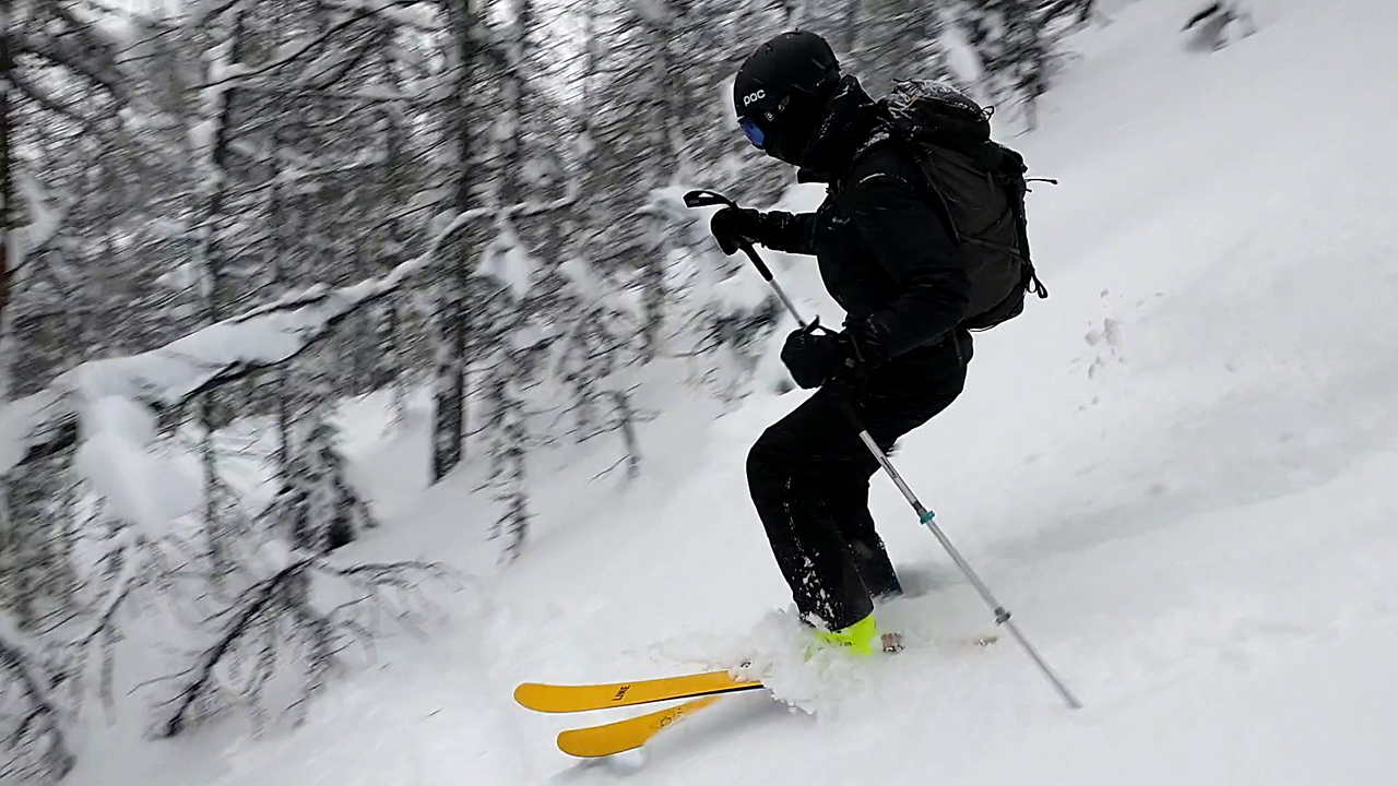
Although this may look like a great time, this was quite a rarity. I spent most of the descent following closely behind my dad, as he retraced our steps, down our uphill skin track. This way I could help him if anything went wrong. Although I had the idea of tying a pine bow to his foot, to act as a makeshift snowshoe, the trees were all too brittle, crumbling apart under his foot after a couple steps. He consequently had no choice but to slowly descend on one ski, switching his ski to the downhill foot at every switch-back. Every time he came to a stop, his ski-less foot would sink in, at least down to his knee! The going was extremely slow, and the trees were dense, making them hard to navigate around...especially on one ski!! Photo credit: Dad
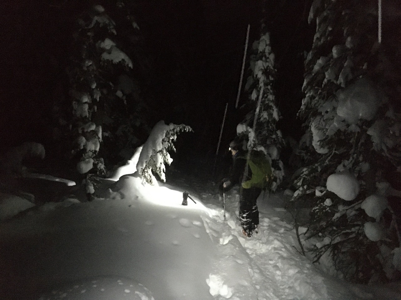
By the time we reached the bottom of the valley, it was getting pretty dark, and we needed our headlamps for the remainder of the trip.
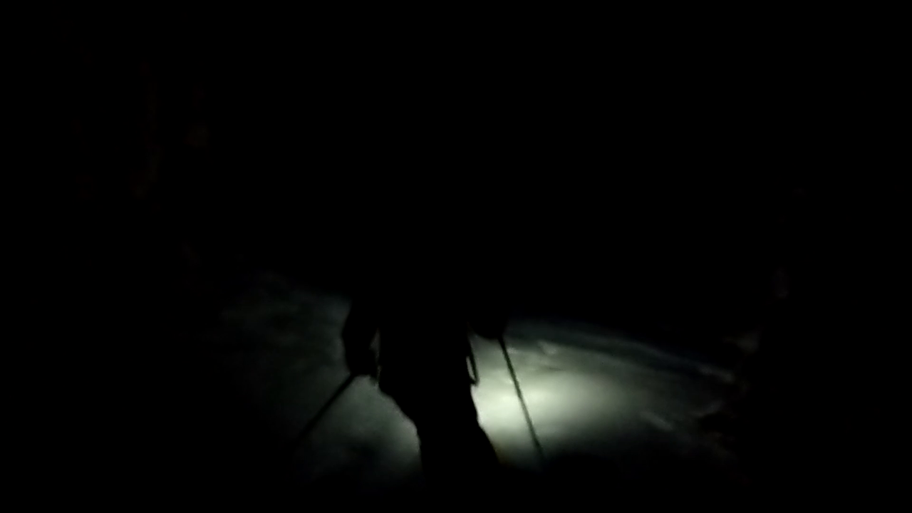
Headlamp skiing!...Honestly kinda sketchy, only seeing what's directly in front of you! Photo credit: Dad
There was quite a feeling of relief when we finally made it back to our car. It was around 7pm...5 hours after leaving the summit. I want to give an enormous thank you to my dad, for the strength and perseverance he portrayed on this day. With all that went wrong, he could have easily given up...but he didn't! No matter how extremely exhausted he was (making it down an entire mountain on one leg) he stayed strong for me, and pushed right to the end! I love you so much dad!!
Disclaimer