Date: July 27, 2023
Location/Route Map: Assiniboine Provincial Park
Elevation: 2651 m
Elevation Gain: 1640 m (including a traverse of Windy Ridge, Og Mountain, and Bashan Peak in the morning)
Distance: 24 km (from Lake Magog Campground)
Rating: Class 2 - Easy
Notes: Cave Mountain is a simple off-trail hike that doesn't present any difficulties.
GPS Track: Download
Cave Mountain will never find itself at the top of anyone's priority list. It's not a major summit, and when viewed from the west (as it most often is), it's really just an uninspiring mound of rubble. (Sorry, no offense buddy!) After completing a traverse of Windy Ridge and Og Mountain, however, we descended via Og's southern slopes and were impressed by the long wall of cliffs lining Cave Mountain's entire northeast face! It had always been in the plan to tag this minor summit on our way back to Lake Magog, but this view was crucial in inspiring an extra boost of motivation to help our tired bodies reach our ninth summit in two days.


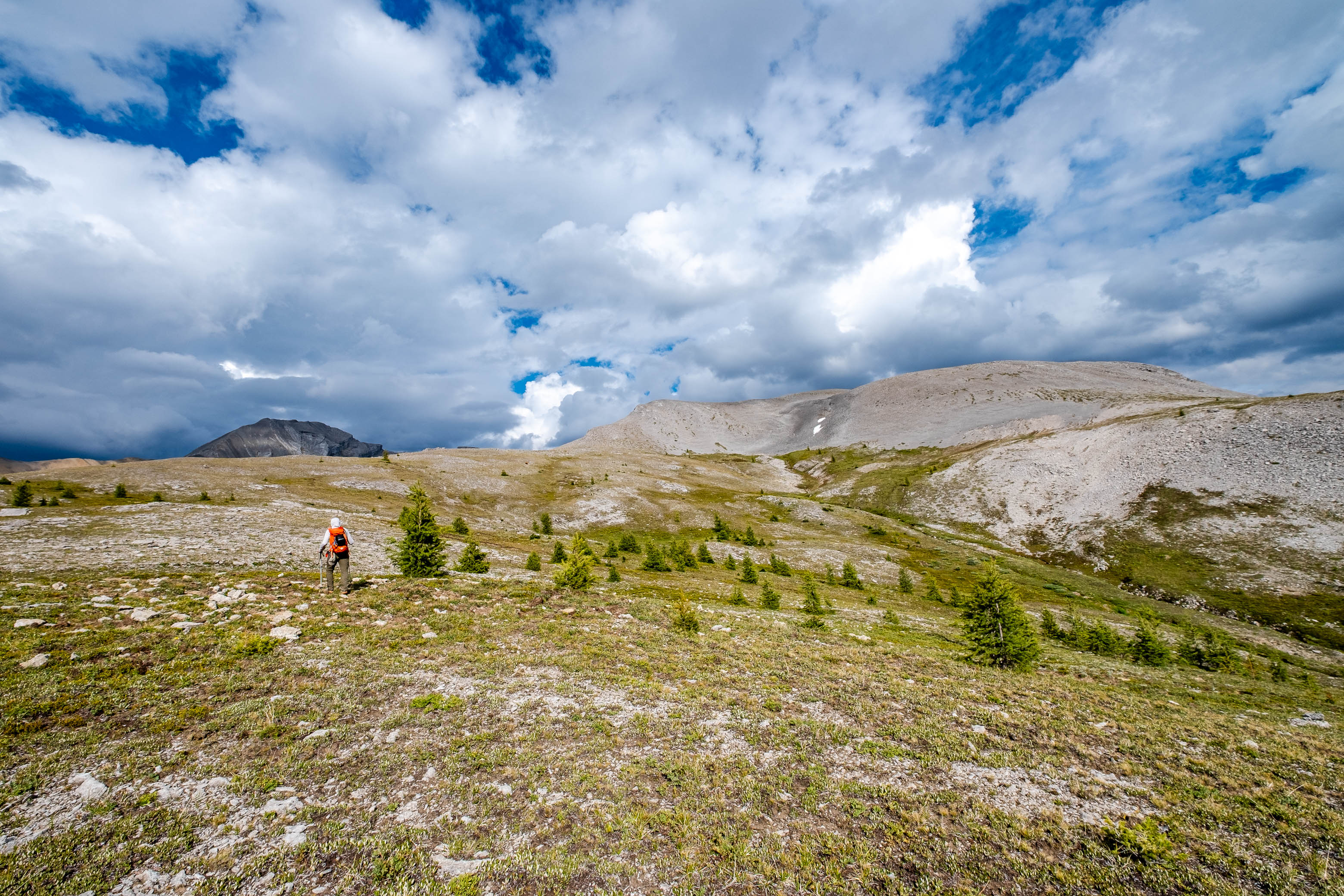
Soon passing the treeline, we continued our ascending traverse, aiming for Cave's broad and gentle west ridge. In hindsight we probably could've just gone straight up these slopes and avoided all the sidehilling, but oh well! Once on the ridge, the ascent was an absolute breeze, and we easily ascended to a massive, grassy plateau where route possibilities are endless. We chose to stick to climber's left and ascended to the skyline ridge, hoping to get some interesting views down the northeast face as we climbed.

The climb went on longer than expected, and we reached false summit after false summit, (some with sizeable cairns piled up 🤔), only to have another ever-so-slightly higher bump come into view a couple hundred meters further up the ridge. We continued to plod along and eventually reached the highest of these bumps, rewarded with impressive views down Cave's lesser known northeast face and back across the valley to the traverse we completed earlier!


We took a slightly more direct line on descent, and veered off down Cave's rubbly west slopes shortly after starting back down the ridge. This line was steeper than the plateau route we ascended, but was still nothing more than an off-trail hike. We aimed for an obvious drainage, breaking through the forested slopes below, and easily followed it down on its left side (skier's). With only some very minimal, and very light, "bushwhacking" required (just a swat of a couple branches every now and then), we soon emerged from the forest directly at the trail that would lead us back to our campsite at Lake Magog! That worked out well 🙂.


We still had a 5 km hike back to camp, but a very easy 5 km at that, and we were soon back at our campsite, refueling with crushed potato chips and tuna (It saves weight not to cook, but don't think it doesn't come at a cost 😂), while watching a cloudy sunset over Assiniboine and company.

It's unlikely that you'll get any "oohs" and "aahs" when someone asks what you climbed and you point to the "big hill" just across the valley from one of the most picturesque peaks in the Rockies, but as a peakbagger, it's hard to ignore the ease at which you can add another one to the tally by ascending Cave. On a clear day, the views won't disappoint and you can't really go wrong when adding it on as a "side trip" to a more significant objective like Og.
Photo Gallery


Disclaimer