
Date: January 15, 2022
Location/Route Map: Banff
Elevation: 2590 m
Elevation Gain: 1160 m
Distance: 20.3 km
Rating: Class 2
Avalanche Terrain Rating: Simple/Challenging
Notes: One short, wind-blown outcrop is all that keeps this from being a long, easy walk through winter wonderland.
GPS Track: Download
Little Copper may not be the biggest in terms of elevation, but in terms of horizontal distance, this trip is not little at all! I came across Little Copper early on, while scouring topo maps for winter objectives, but with it being over 20km round trip, in winter, with limited daylight, through uncertain snow conditions, I wasn't sure if it was the smartest idea to undertake such a task! I'd read a couple reports of ski ascents, so I knew this peak should be do-able in winter, but you don't have quite the same speed on snowshoes as on skis...and skiing wasn't an option yet, with the incident last week on Wolverine Ridge...so I guess we start early and see where it goes!

Little Copper Route Map (see link in desciption - or click here - for interactive version).

We started out, up the trail towards the Twin Lakes, around 7:30am. Unfortunately for us, this well broken trail soon branched off to Smith Lake (wrong way people!!), and we were left semi-breaking trail over older, "fading" tracks.

Soon the sun began to rise, and we no longer needed our headlamps.

It's a long unvarying trek until we'd branch off to climb Little Copper, but somehow this man's in a good mood :)

A long while later, we finally reached this clearing! We left the old ski tracks we were previously following at this point, and ascended to the ridge upper-left.

Looking up to the treed ridge we would aim for. Unfortunately the snow seemed like it was coming down harder and harder, and it was pretty disheartening, with still such a long ways to go in a complete whiteout :(

Quite the snow formations as we head up to the ridge!

Starting to feel like I'm actually climbing a mountain :) There were a couple steeper sections to gain the ridge, but we easily navigated our way up, and the snow conditions were superb (solid layer with light fluff on top)!

Mushroom!!

No way...SUN! We actually got to see Castle Mountain with Eisenhower Tower across the highway!!

OOH! Some cliffs to the west!

We even caught a glimpse of Storm Mountain!

The ridge soon eased off, and was fairly level for a little while...PS. The sun makes me happy :)

This forest is full of natural artwork!

Approaching another climb!

Storm Mountain towers above (right), with an outlier to the left!

My dad starts up the rocky slope. Although this slope starts tame, it steepens significantly near the tree in the center. We started up with snowshoes, but switched to microspikes near the tree. The slope was extremely wind blown, and we wanted the security of digging our feet in, as there was no sense in risking a slip!

A view of the steep bowl on climber's right! Snow covered Upper Twin Lake is just visible below Storm (right).

Even Mount Bell is visible in the distance!

Starting up through larches (back on snowshoes) once past the steeper slope.

The false summit soon came into view! Note the true summit, barely visible (peeking out center-right) beyond!

NOOOOO! The whiteout is back :(

Looking back down the ridge. Storm (and everything else for that matter) has vanished again... :|

We bypassed the false summit, on gentle slopes to the right.

The final slope to the summit was completely windblown, so we had to make the switch to spikes again.

I don't think I've ever experienced as strong winds as we did on this final slope! The winds came fast and furious, without warning, and we had to crouch down in order to not risk getting blown right off the mountain! Photo credit: Dad

Although you wouldn't think it, based on the broad slope leading up to it, the summit is quite small with drops in all other directions!

Only a bit of a rock outcropping, and then more sheer drops off the tip of the summit!

Just a little ways down!
My dad stays low on the summit, as the wind rages on!

There was even a register! Last ascent was back in October!

Summit selfie!

Beautiful cornices overhanging the steep face down from the south ridge as well!

Silky smooth!

Since there's nothing else to see, I'll just keep focusing on the epic snow formations :)...but also :(

Me, on the summit of Little Copper! Photo credit: Dad

My dad, with the slope we ascended.

My dad descends along the ridge, over another incredible snow formation!

Quickly making my way down from Little Copper's freezing cold summit! Photo credit: Dad

Yet another cornice along the ridge that I couldn't resist stopping to capture! (my hands were crying at this point)

The summit completely vanishes from view as we traverse back around the false summit! Our tracks had already completely vanished!

Oh nice...our tracks are back!

Descending the "crux".

Looking back up.

Just because there's no mountains to see, doesn't mean there's nothing to take pictures of :)
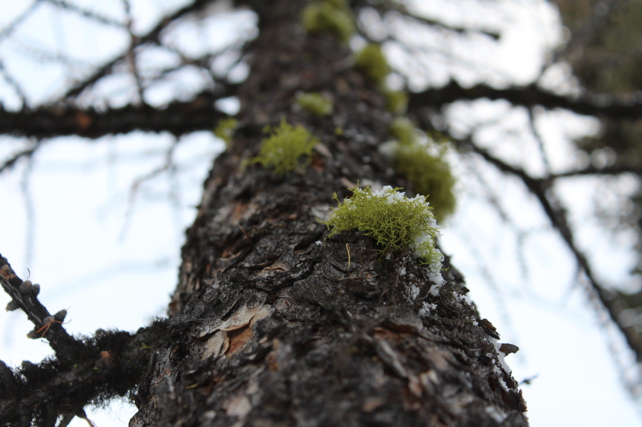
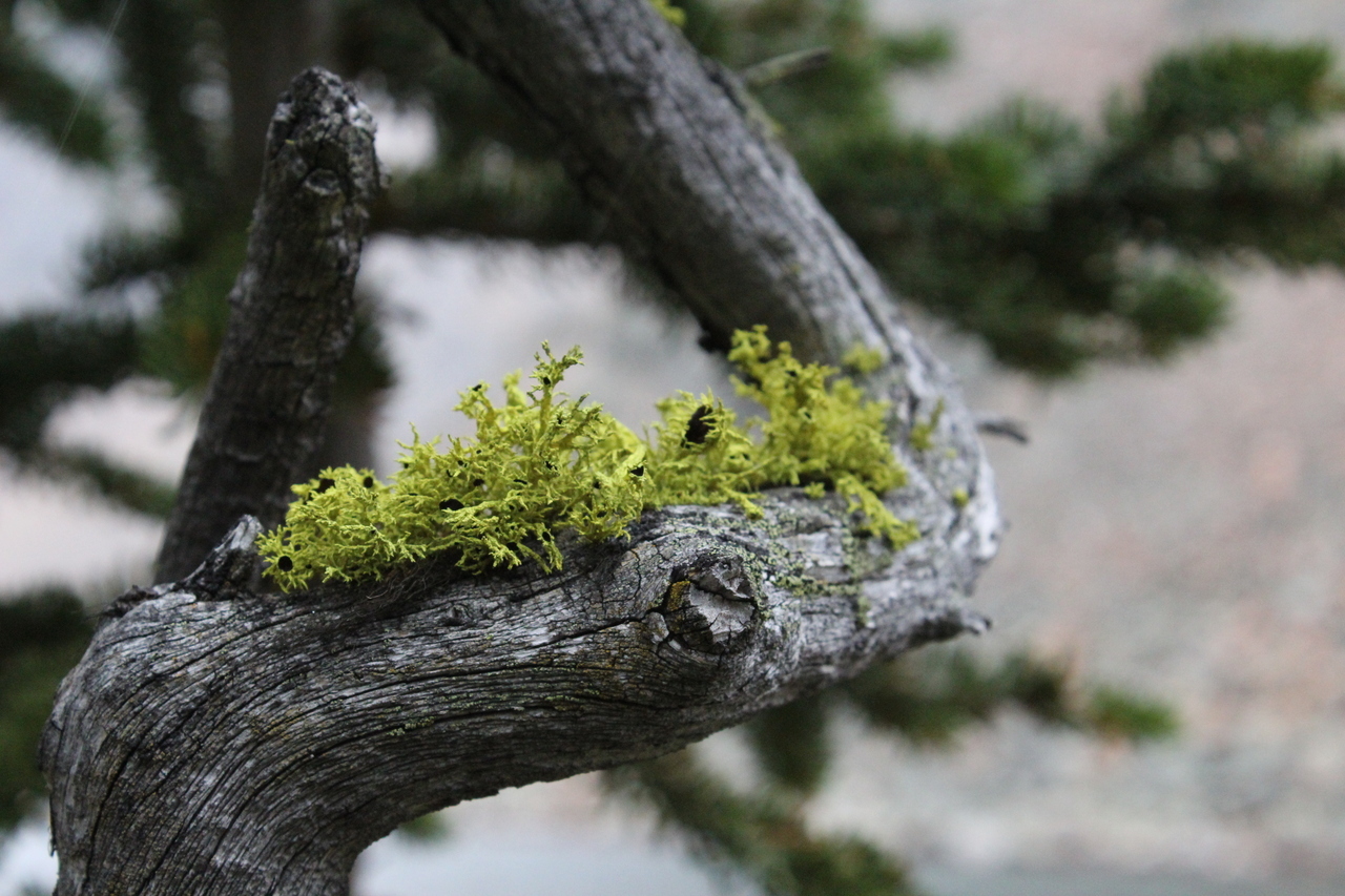
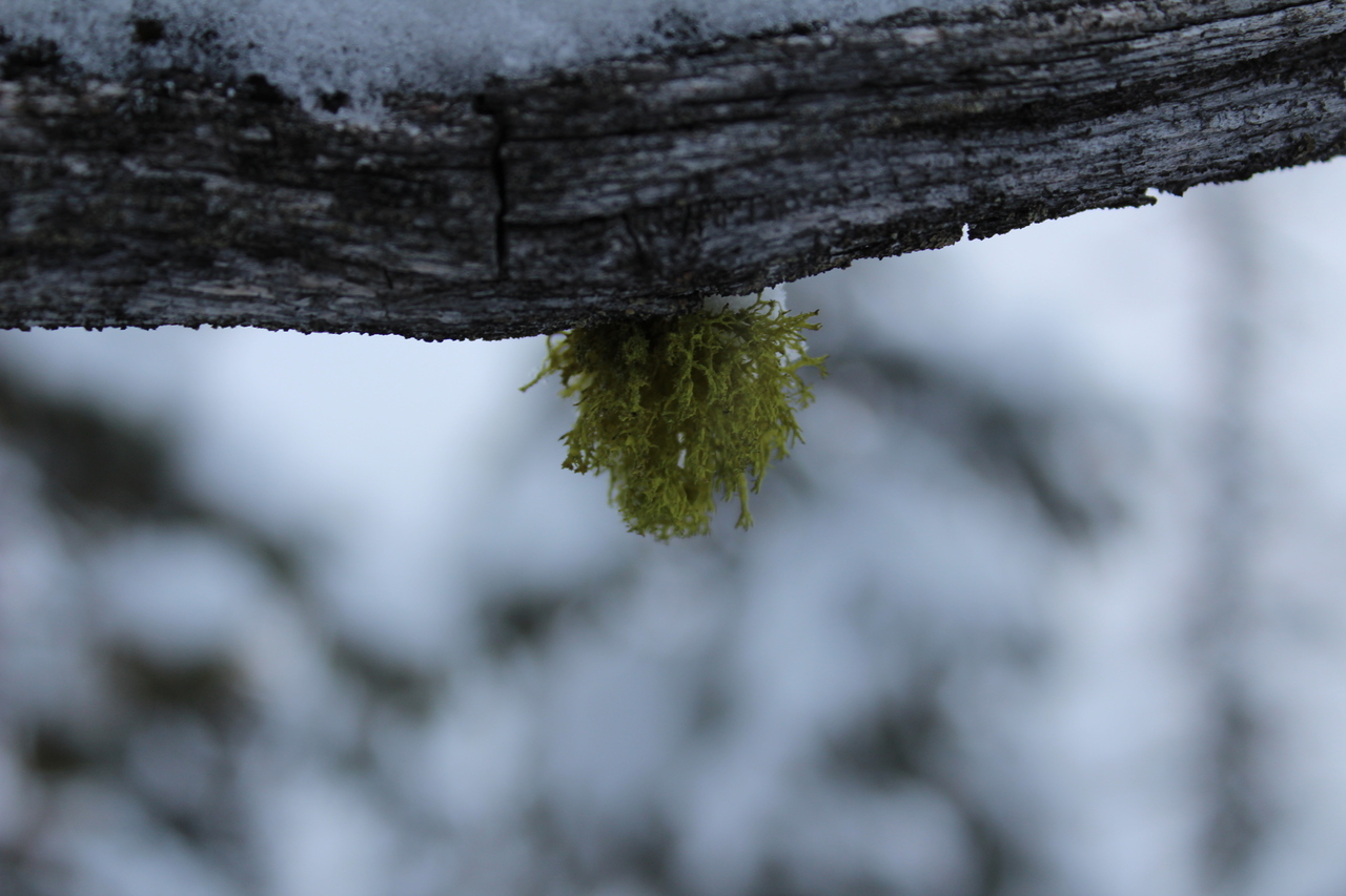
Wolf lichen 3.0, a series :) (See 1.0 from Storm, and 2.0 from Grassi Knob!)

Leaving the ridge, and entering the clearing under unique lighting!

Looks pretty stormy on Storm Mountain right now ;)

Pretty sunset!

Castle Mountain is visible once more!

A Storm outlier in the setting sun.

Sunset, or moonrise?

Our last views, looking back, before returning the same long way we came...

The sky looks like a painting!

Moon shadow!! The sun quickly set, as we descended the Twin Lakes Trail, but that didn't mean it was completely dark! We didn't even need headlamps until the last couple kilometers with the full moon lighting the way!

Almost 12 hours after setting out, we finally reached the highway...I now fully understand why I couldn't find any snowshoe reports for this one! Well...there's one now! lol. Even though we were both mighty exhausted, I still couldn't resist lying my backpack down as a makeshift tripod to take this!

Ever wonder what happens when you move your camera on a 30 second shutter speed?...This! Kinda cool effect actually :)...I feel like an artist :P
Disclaimer