Date: June 23, 2023
Location/Route Map: Elbow Valley
Elevation: 2935, 2970, 2940, 2934 m
Elevation Gain: 2500 m
Distance: 24 km (from Little Elbow Provincial Recreation Area to camp in NW descent valley)
Rating: Class 3 - Moderate
Notes: While not technically difficult, this traverse makes for a long, tiring day! - Especially with an overnight pack...
GPS Track: Download
Backpacking. Something that I've been itching to do for far too long, but just haven't had the gear or opportunity to do it. Working at MEC for the past year has helped me with the first part 😉, and after making a last minute shift swap to avoid the sporadic snowstorm that hit the Rockies mid-week, I was left with three consecutive days off over the weekend...You better bet I had some sort of crazy plan incoming! The Glasgow to Banded Peak Traverse has been on my radar for quite a while now, and I had originally planned on completing the classic eastern loop as a day trip with a lighter pack. After coming across Vern's report and "non-conventional" route, however, my plans grew ever-so-slightly in magnitude...🙃 I immediately noticed that if we were to follow the Little Elbow River on our approach and loop these four peaks from the west side (as Vern did), this would put us in the same valley used to ascend both Mounts Romulus and Remus as well! And how on earth could I pass up on an opportunity like that?! The plan that ensued was the following: Day 1 - Glasgow to Banded Traverse, bivy somewhere in the NW descent drainage, Day 2 - scramble up Romulus, bivy somewhere on the way up Remus, Day 3 - finish off Remus and hike/bike back out! Not the most "beginner-friendly" backpacking trip I must admit, but you know what they say - Go big or go home! 😂
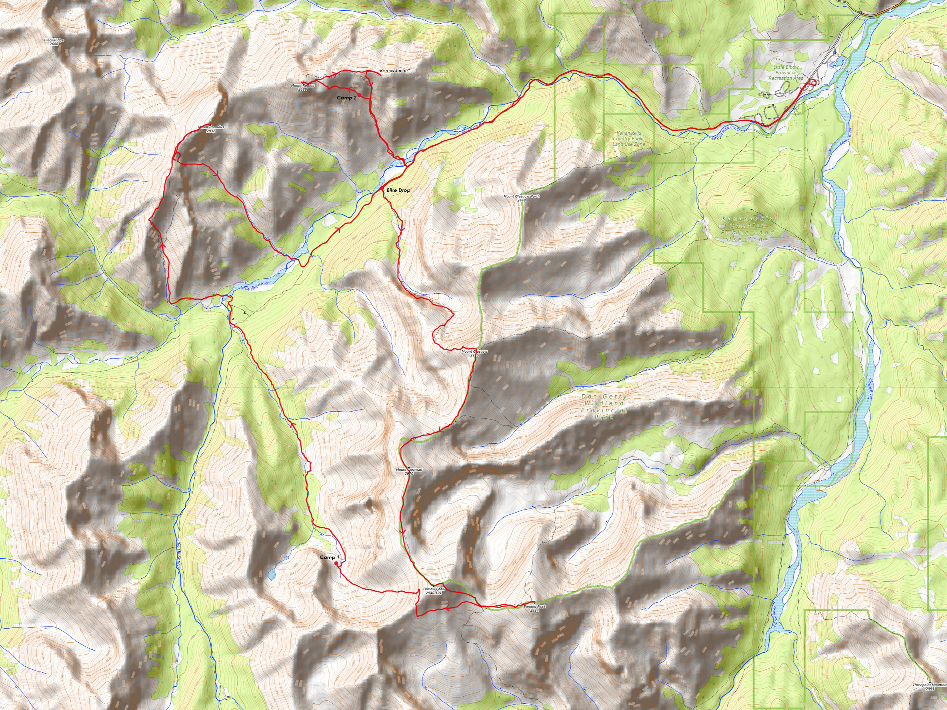
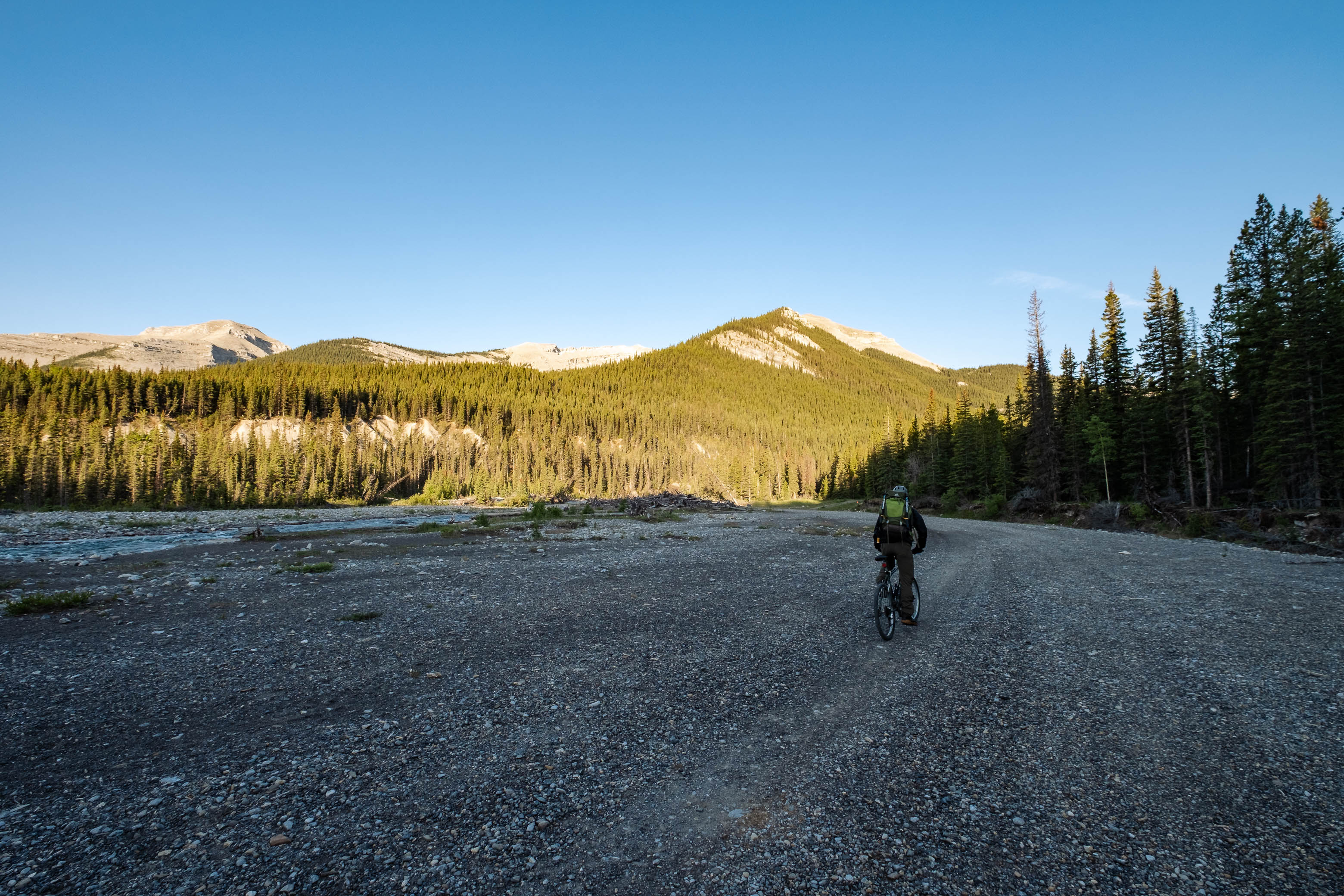
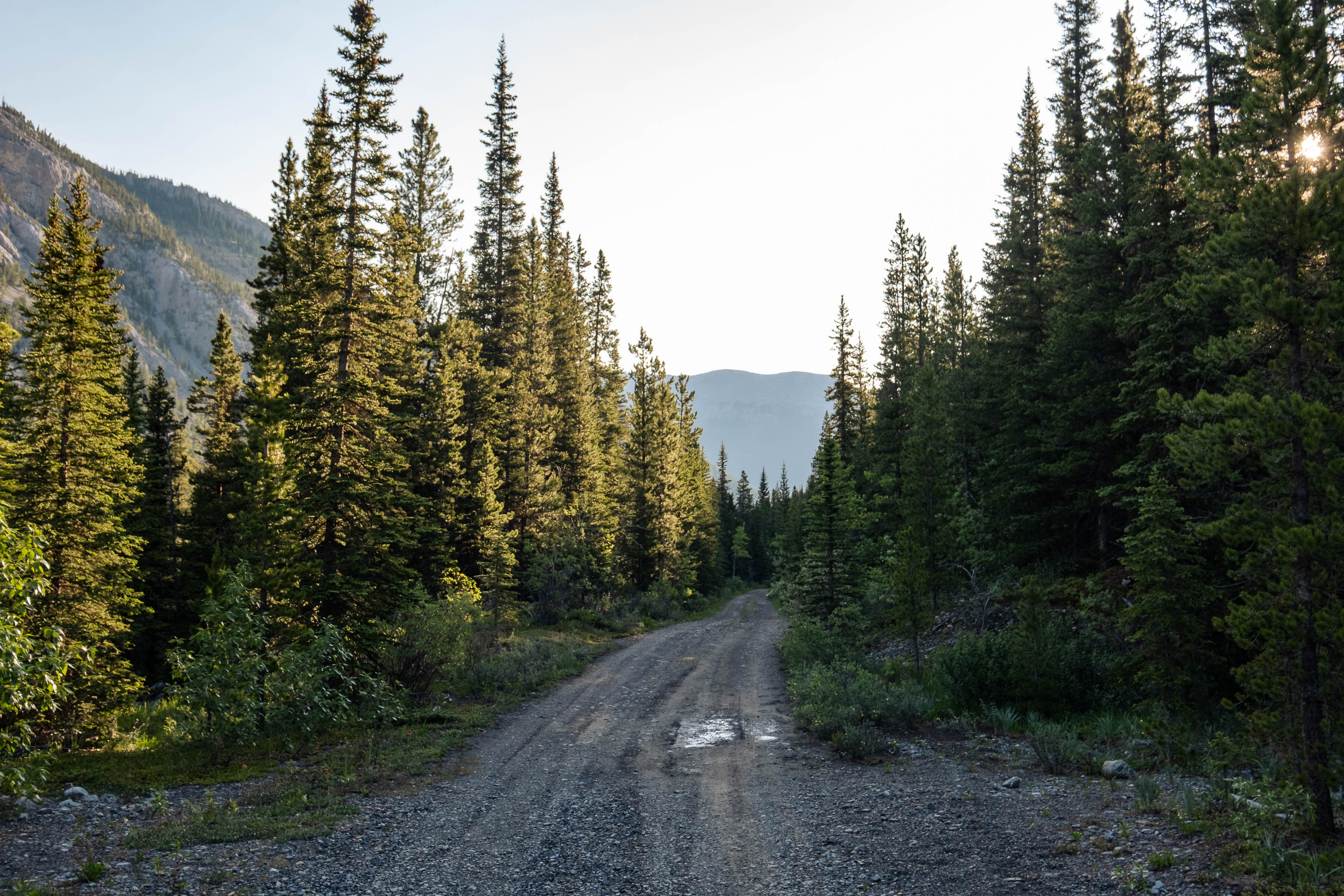
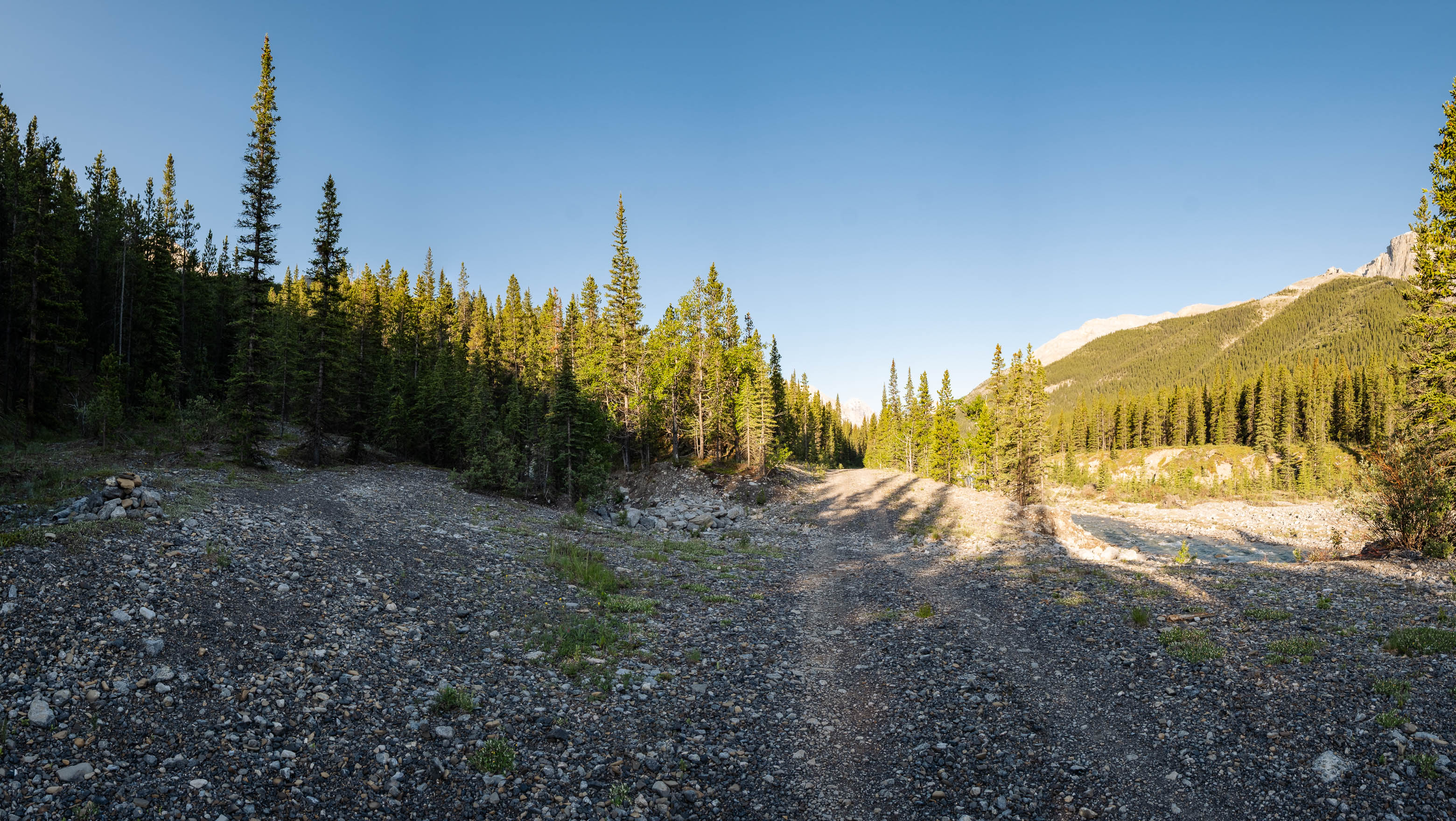
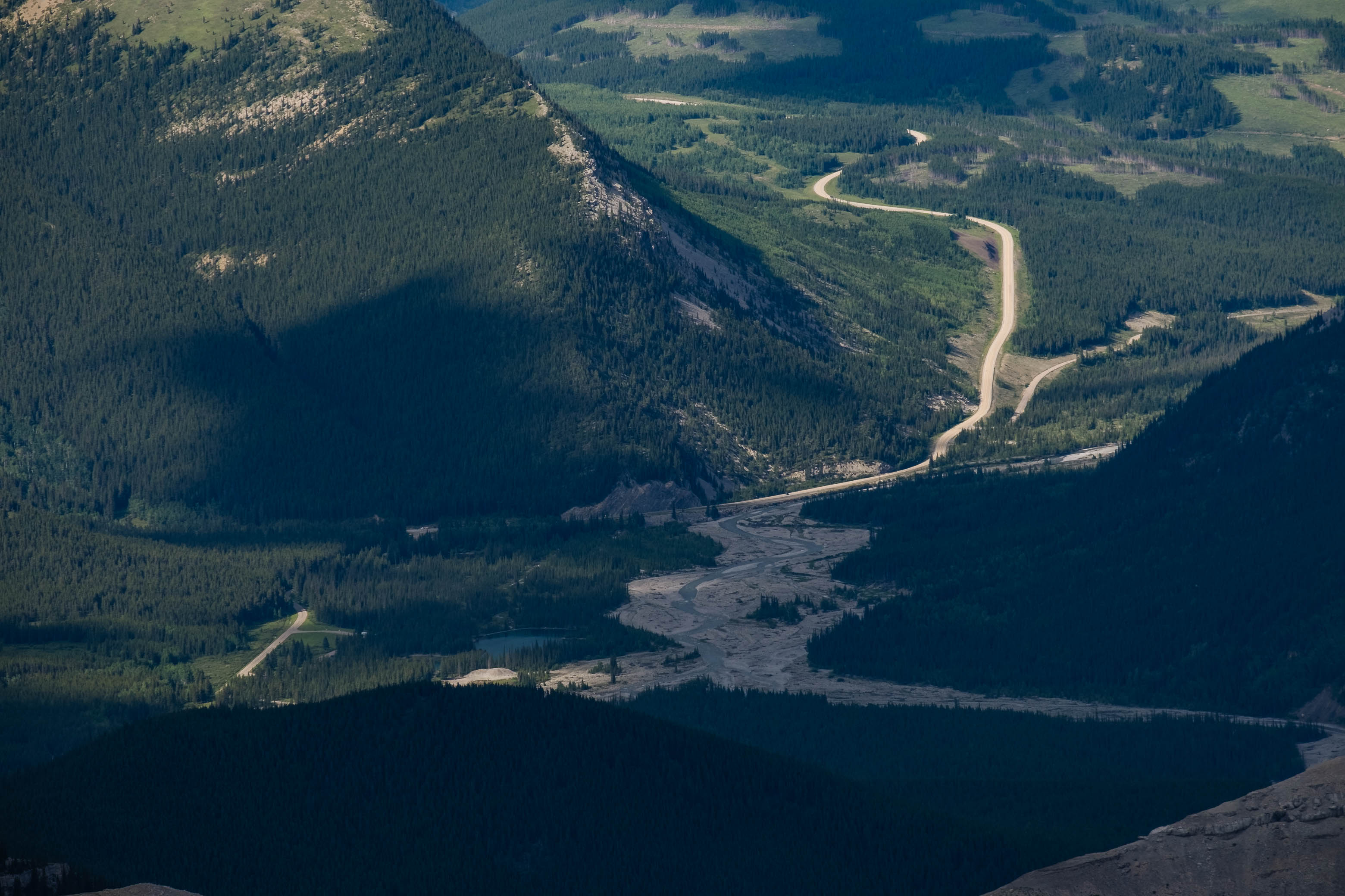
Pulling into the Little Elbow Provincial Recreation Area on a quiet Friday morning (there were only two other cars parked in the whole big parking lot), we unloaded our bikes, double checked that we had all that we needed to survive the next three days, and set off past the Little Elbow Campground. After a quick 1.7 km through the campground, we arrived at the gates to the Little Elbow Trail for the remaining ~ 7 km bike ride. Although not quite as smooth as the gravel road we were just on, this wide trail is absolutely perfect for a bike approach, and aside from a couple steeper descents (my back brake has been giving me a total headache!), was smooth sailing all the way to Mount Glasgow's northwestern ascent drainage - look for a large cairn on the left side of the trail!
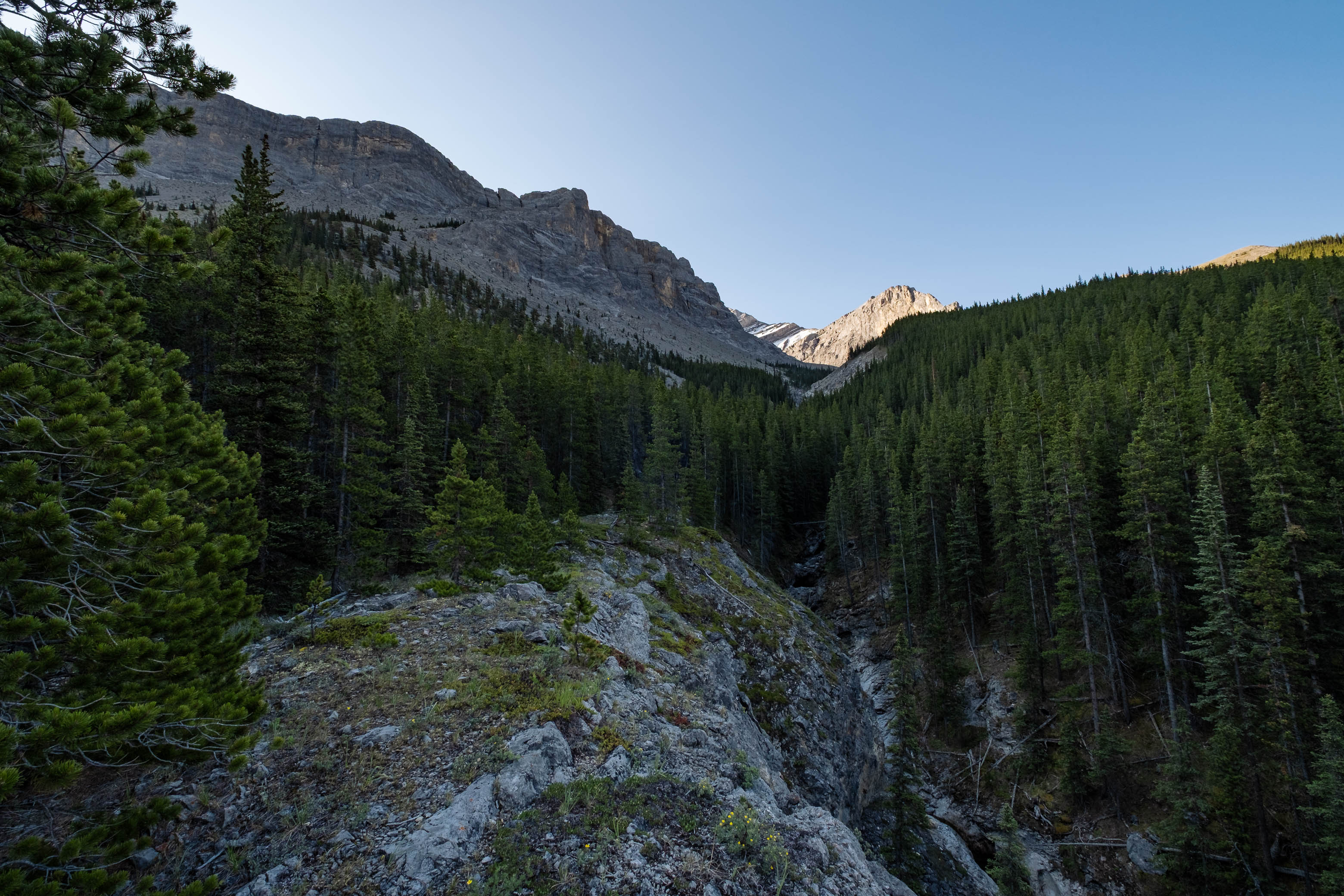
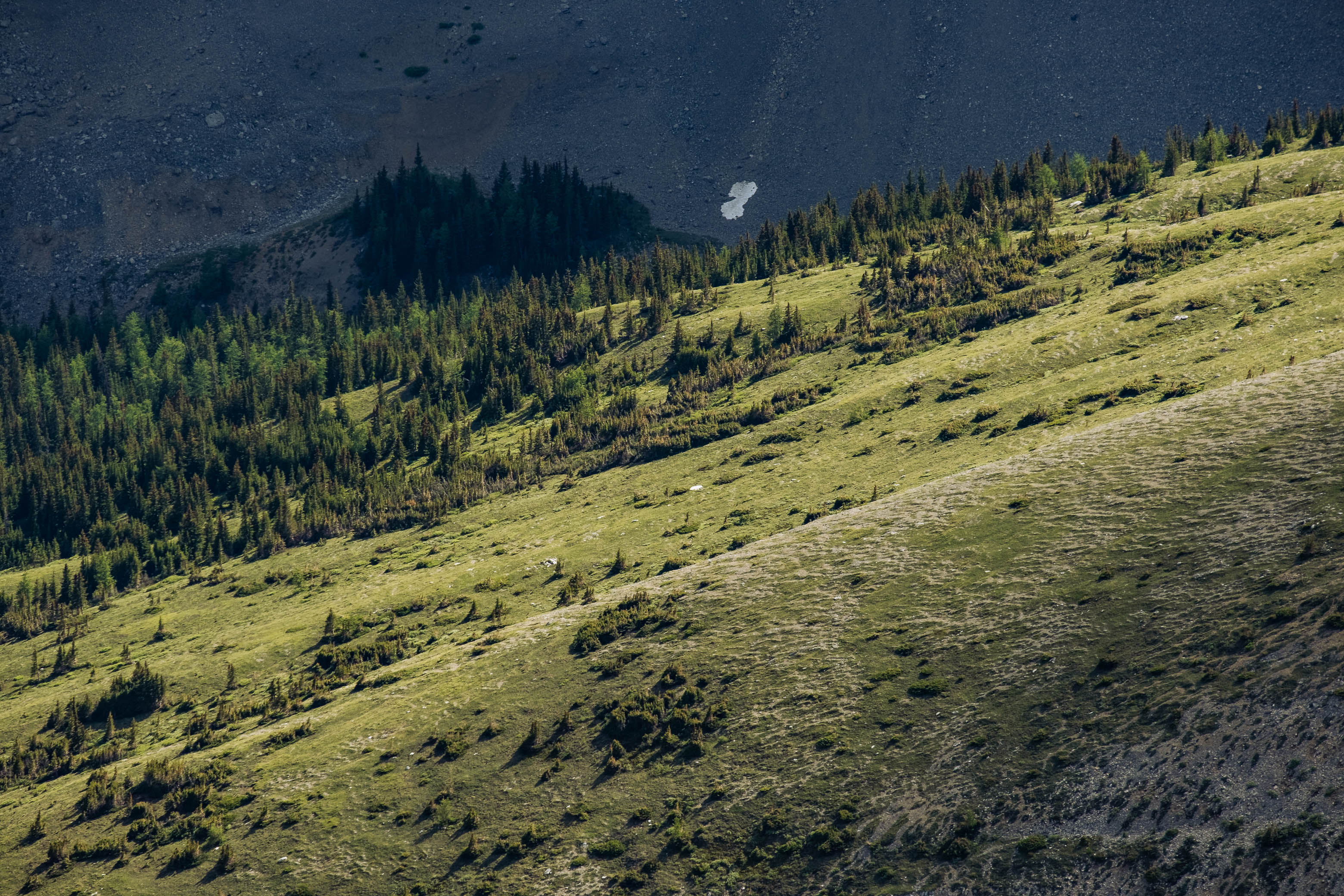
While there wasn't any water flowing lower down, the barren creekbed soon sprang to life with a bubbling stream, and we fueled up like camels, guzzling down as much water as our stomachs could hold, knowing that we had a big grind ahead and likely wouldn't have access to running water until we reached our bivy spot much later that evening!
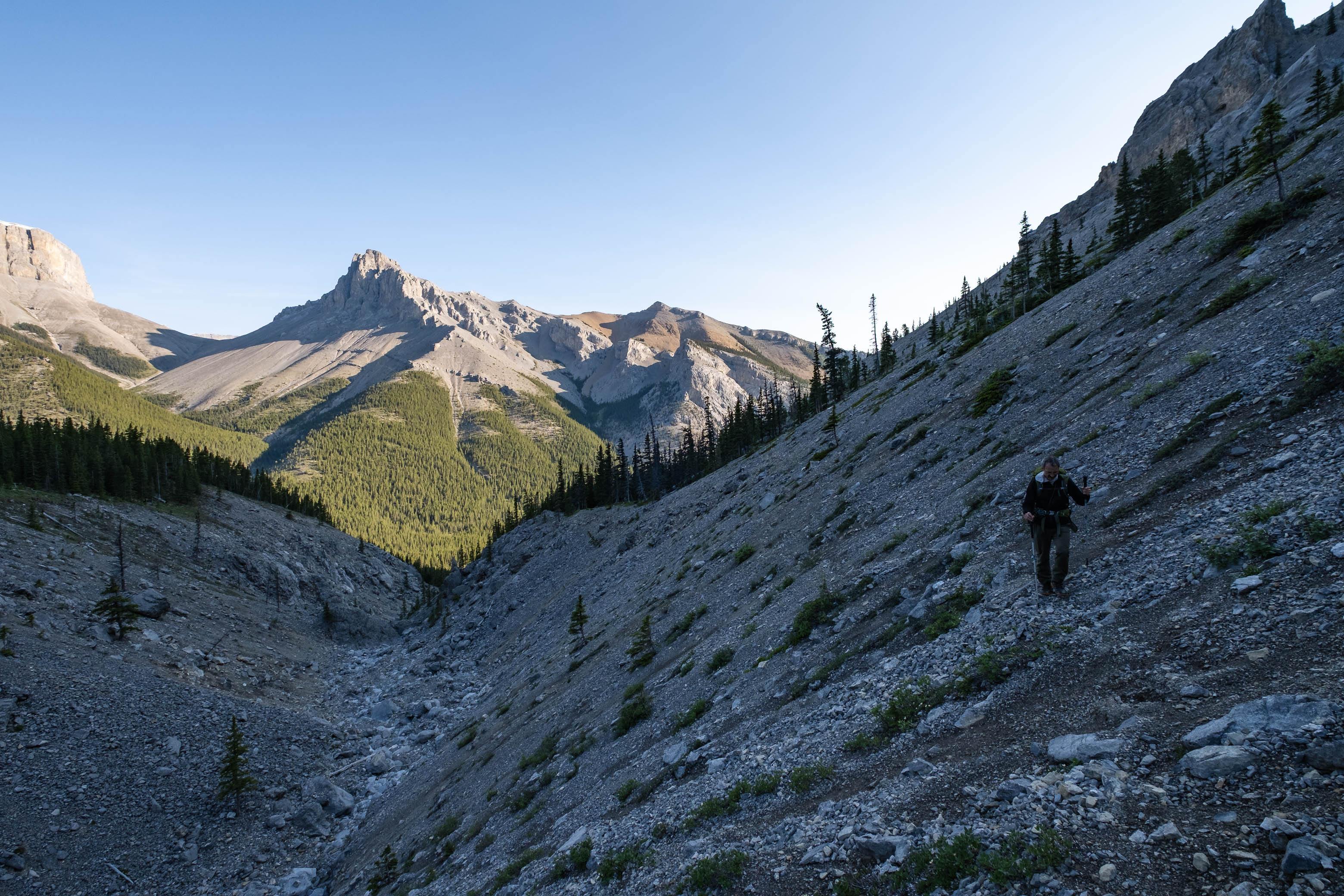
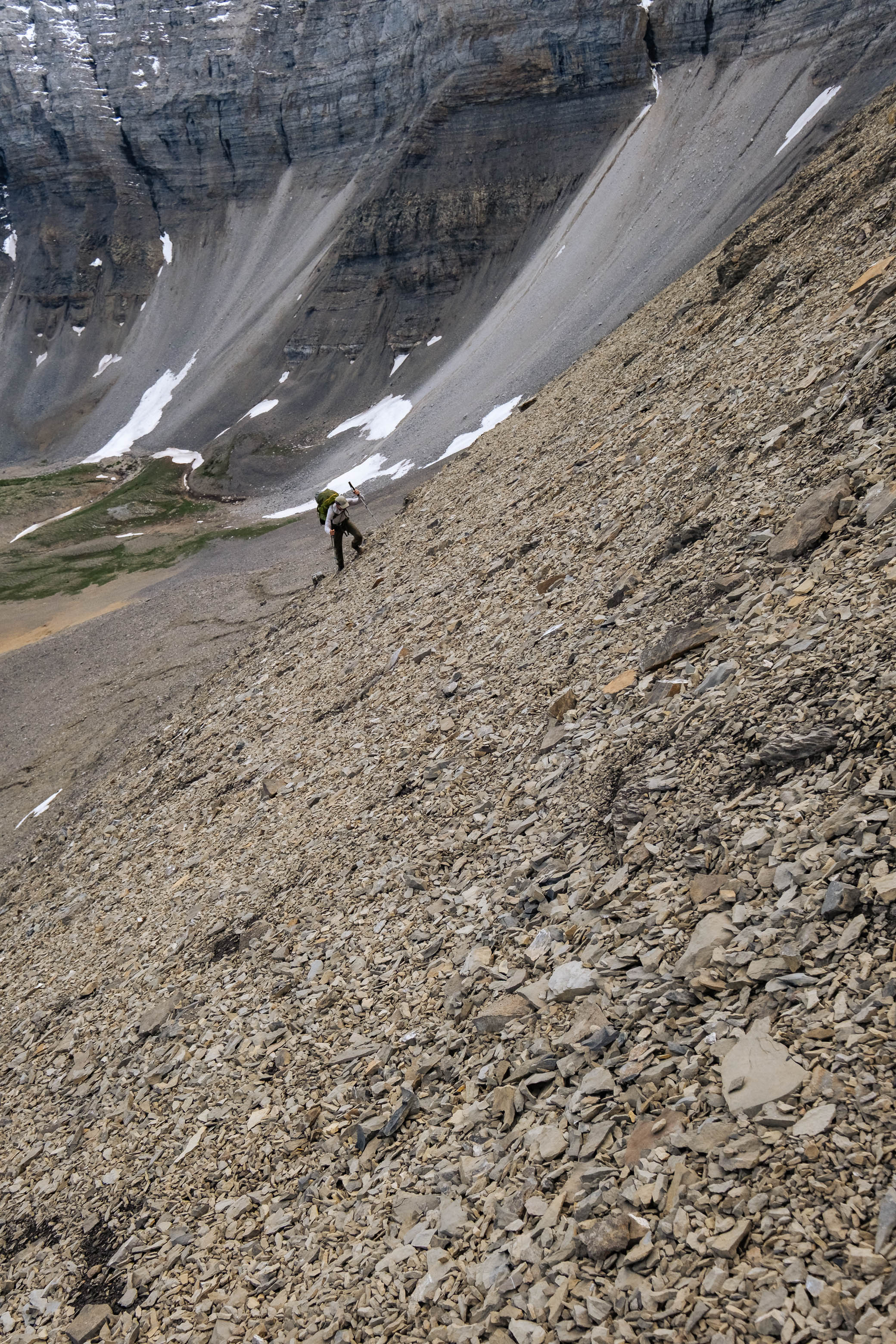
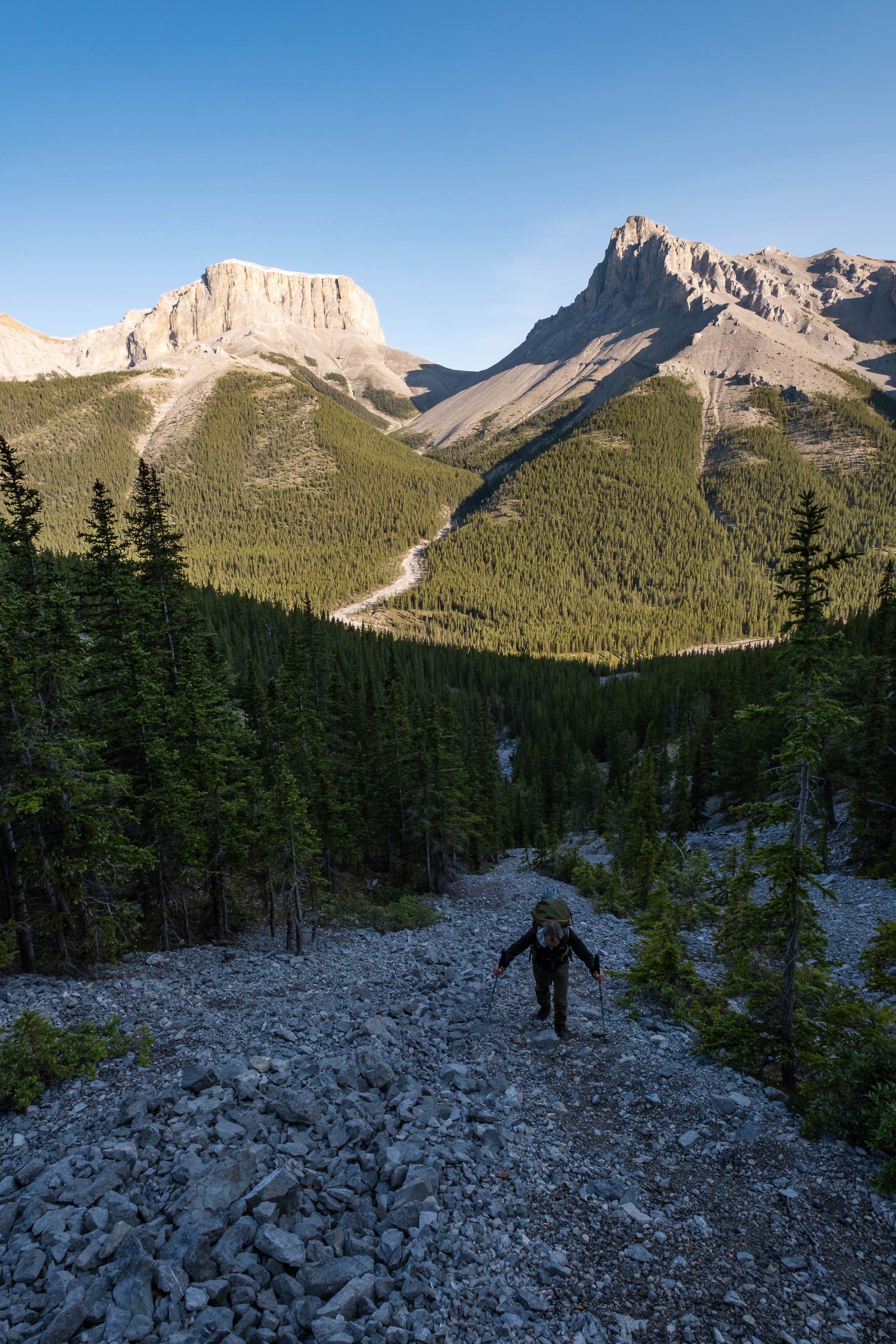
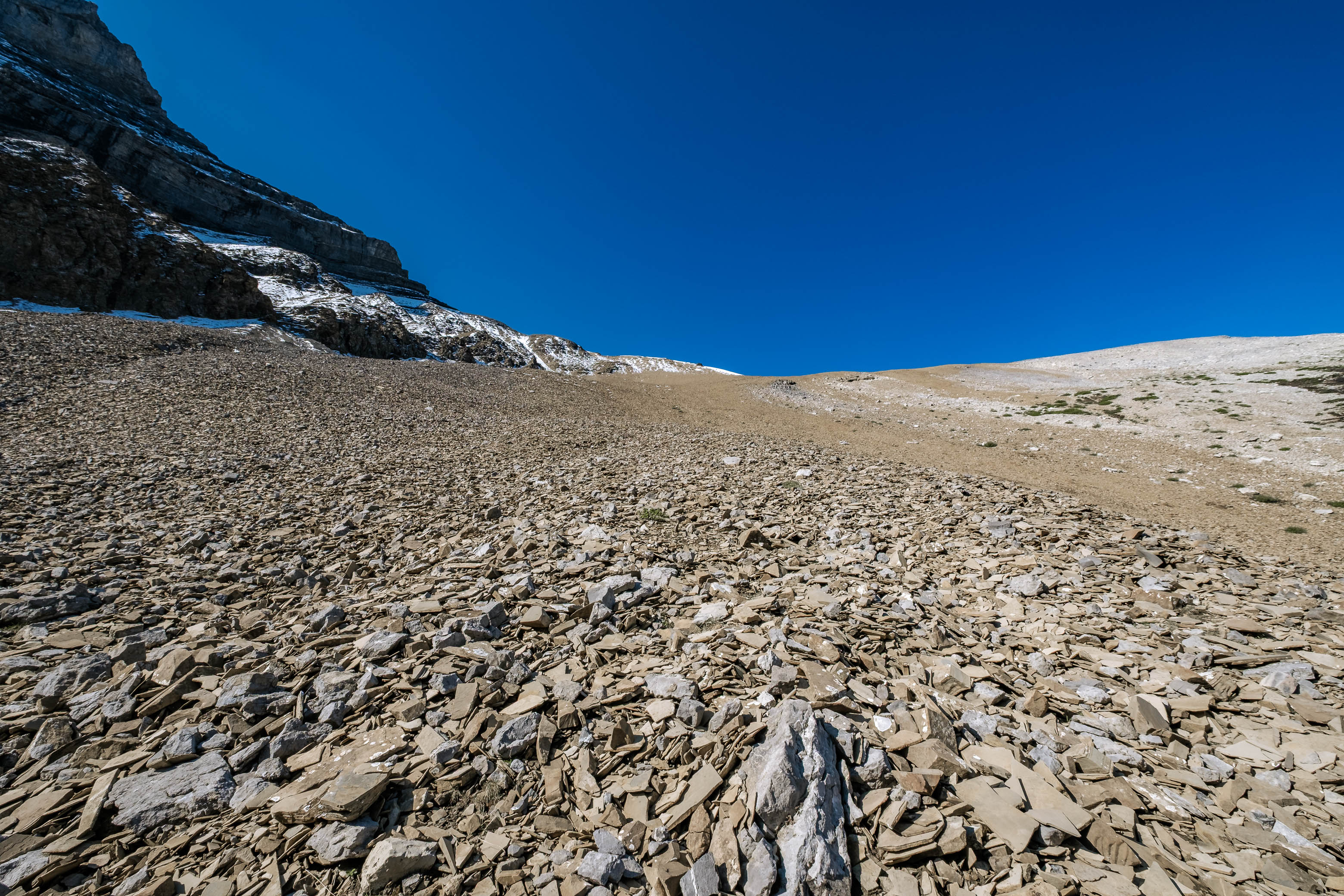
As we started up the big shale/scree slope that conveniently grants access to Glasgow's west ridge, we were genuinely beginning to question what we were getting ourselves into...Sure, people backpack with big, heavy loads on their backs all the time, but lugging that load up multiple mountains on one day?! I think this "sport" deserves I title of its own! 😂
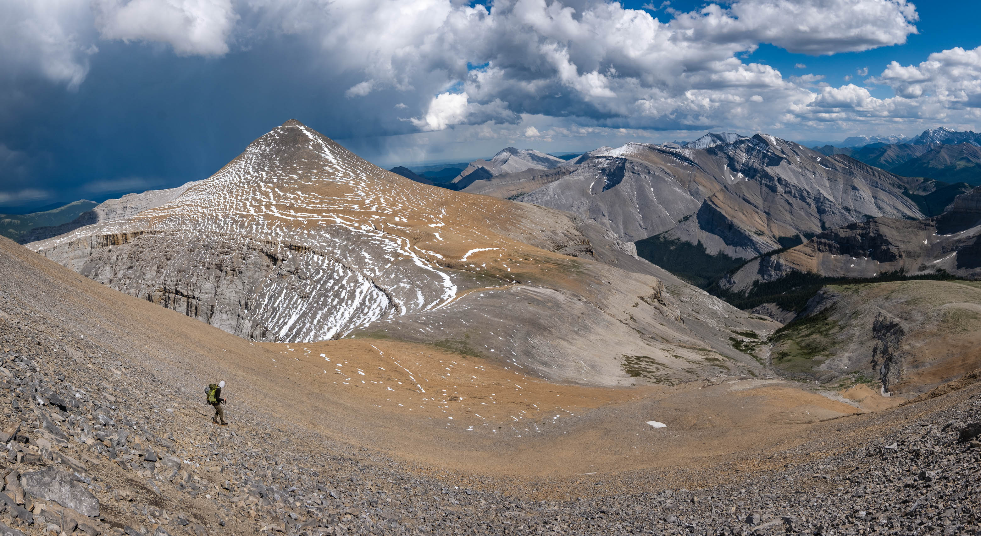
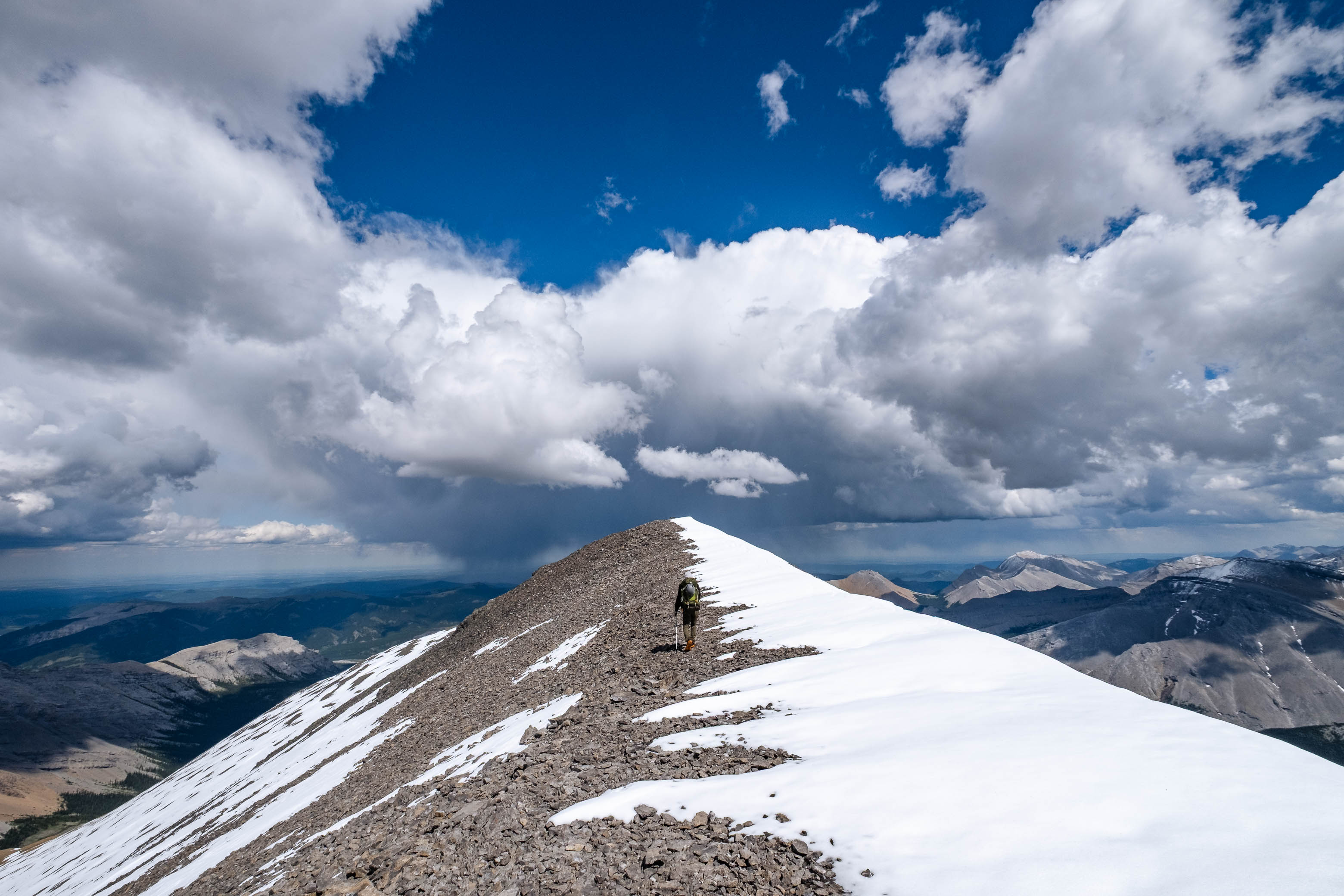
I was starting to feel pretty light-headed as we slogged our way up the sun-baking, shaley slopes. My body wasn't used to having to fight gravity this hard, and it made sure to let me know! All I wanted to do was lie down and take a nice long nap in the warm morning sun, but I feared that if I stopped and lay down (even for a moment), the whole world would start to spin and I wouldn't be able get back up...So one foot in front of the other, I continued to climb. Although at times it felt like this slope would never end, we eventually crested up onto Glasgow's western summit ridge, and were welcomed with a cool, refreshing breeze that helped to clear my head as we prepared for the final 350 vertical meters that still lay between us and the summit.
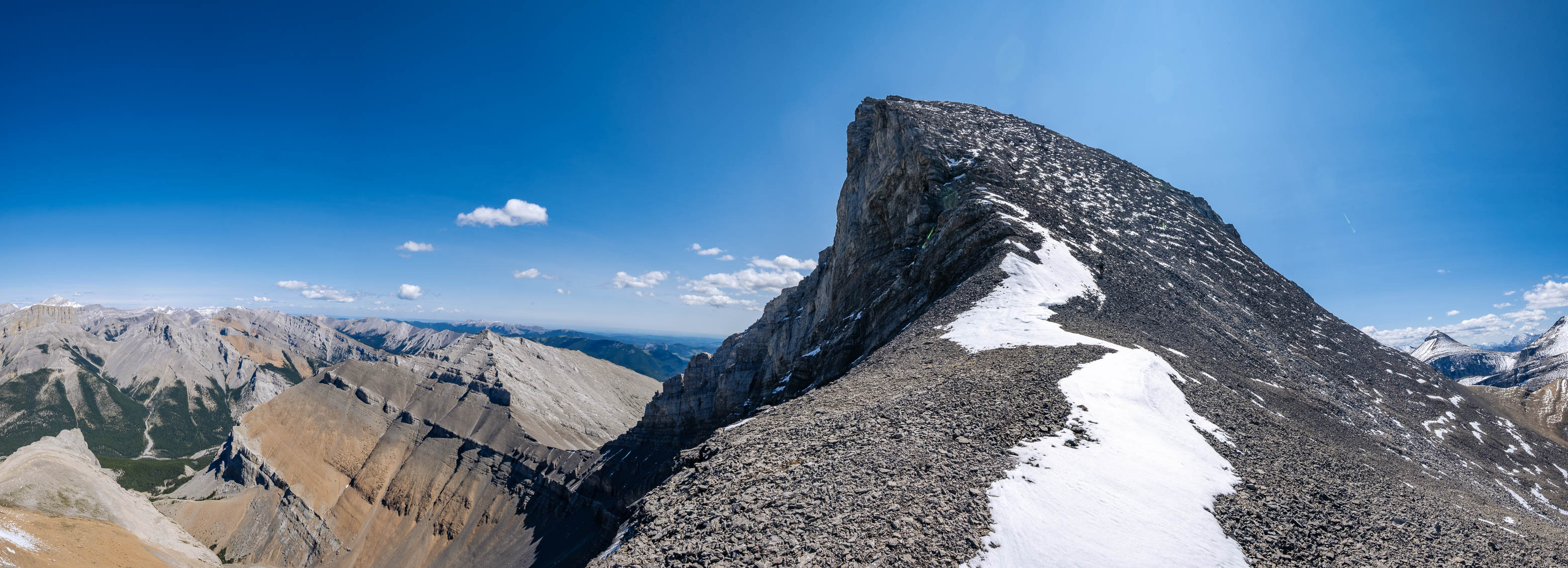
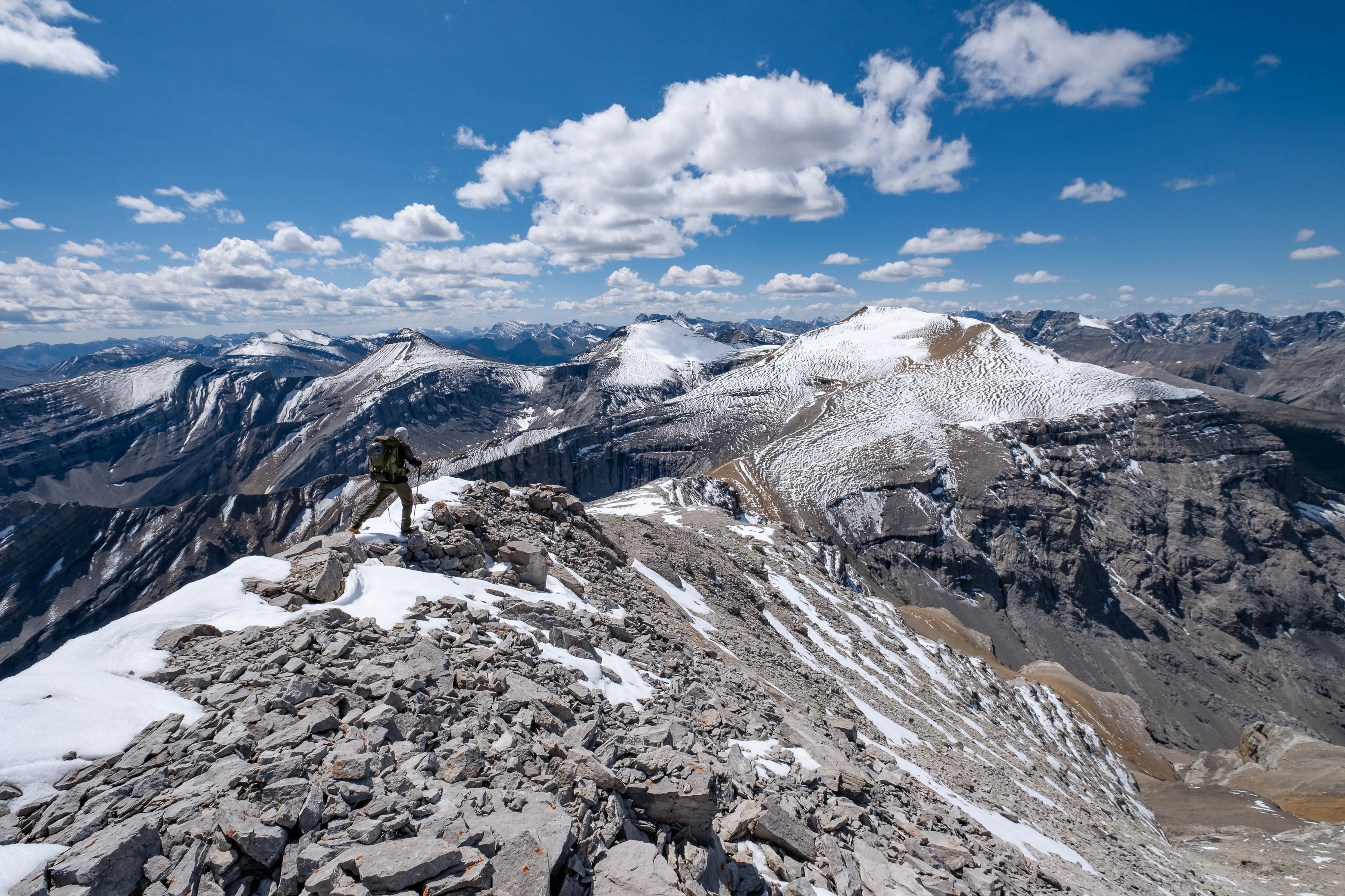
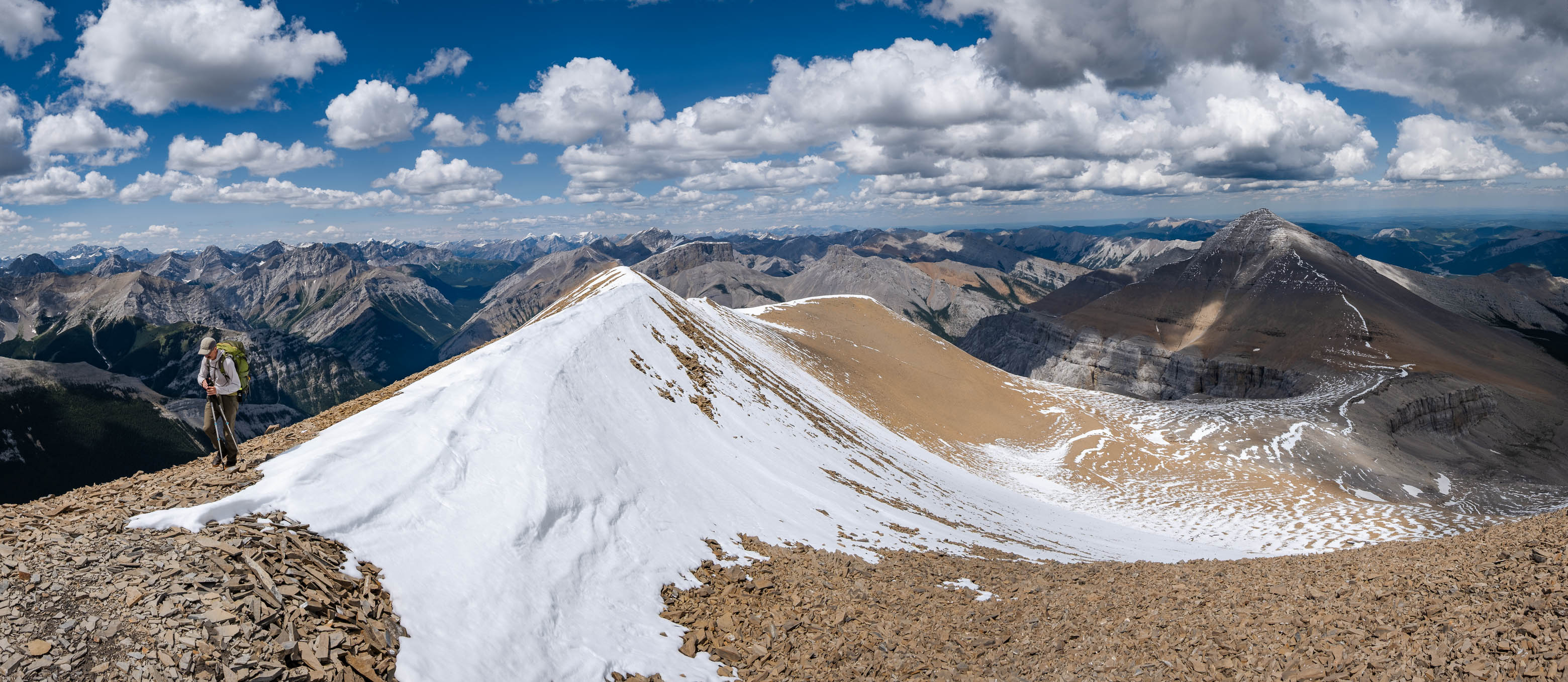
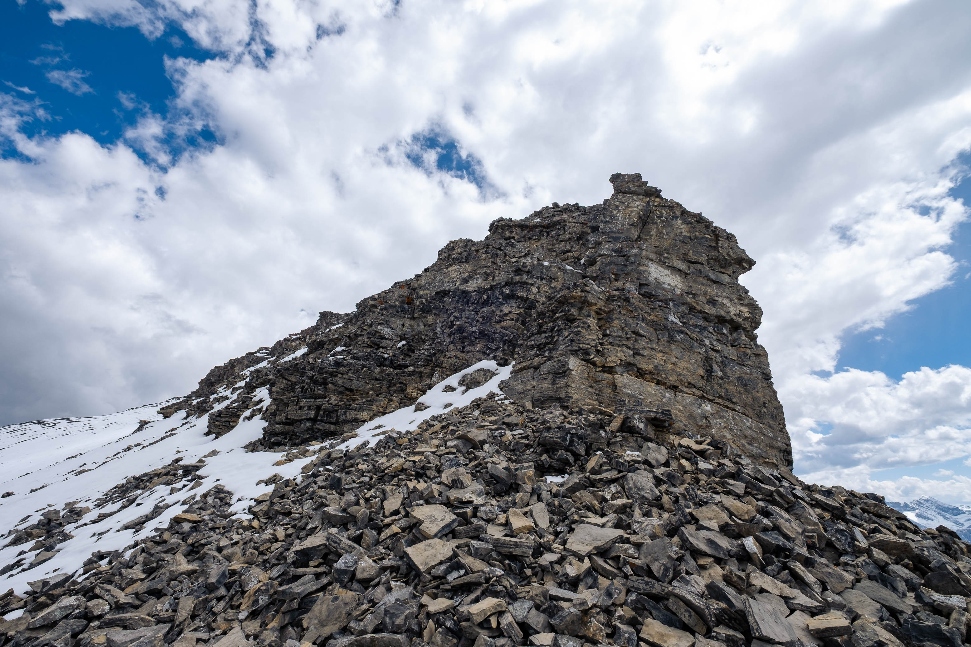
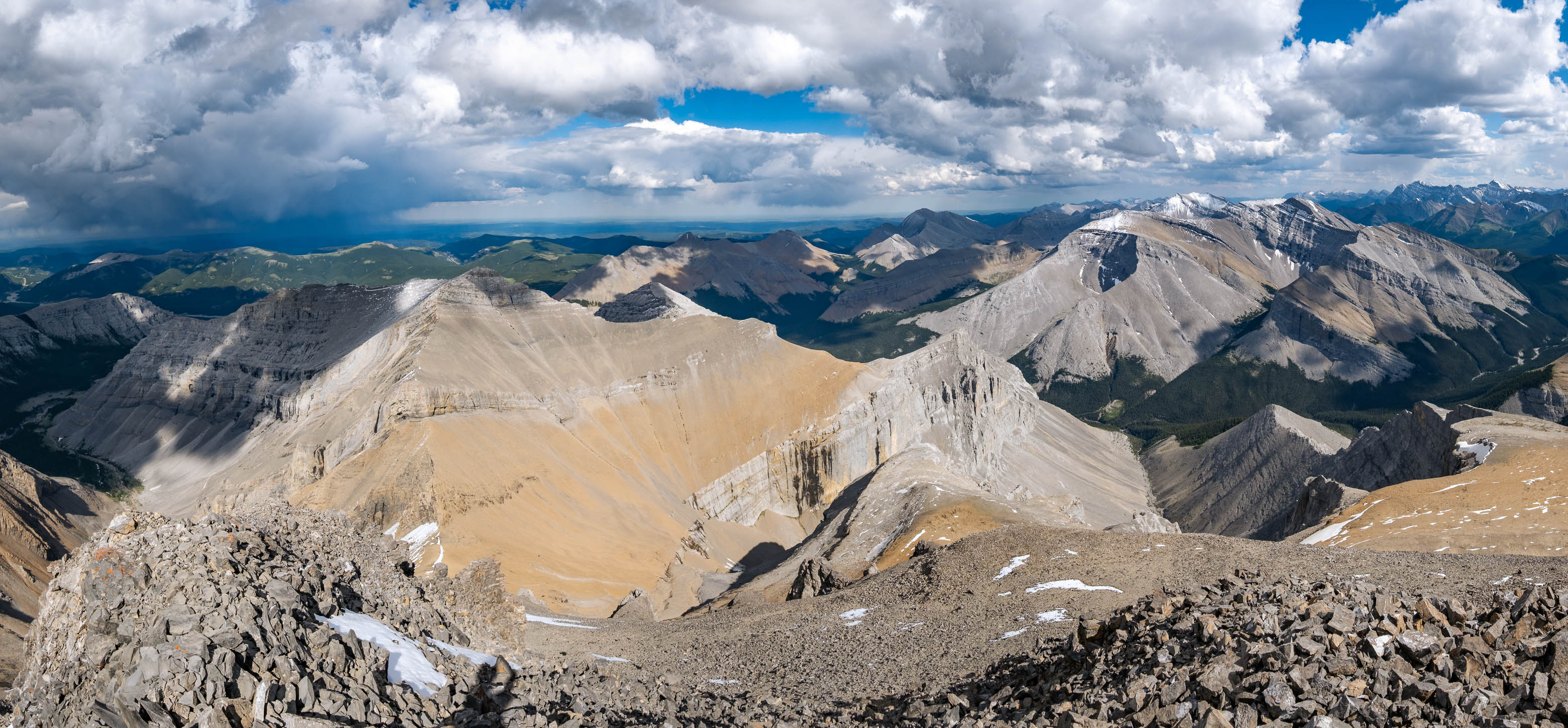
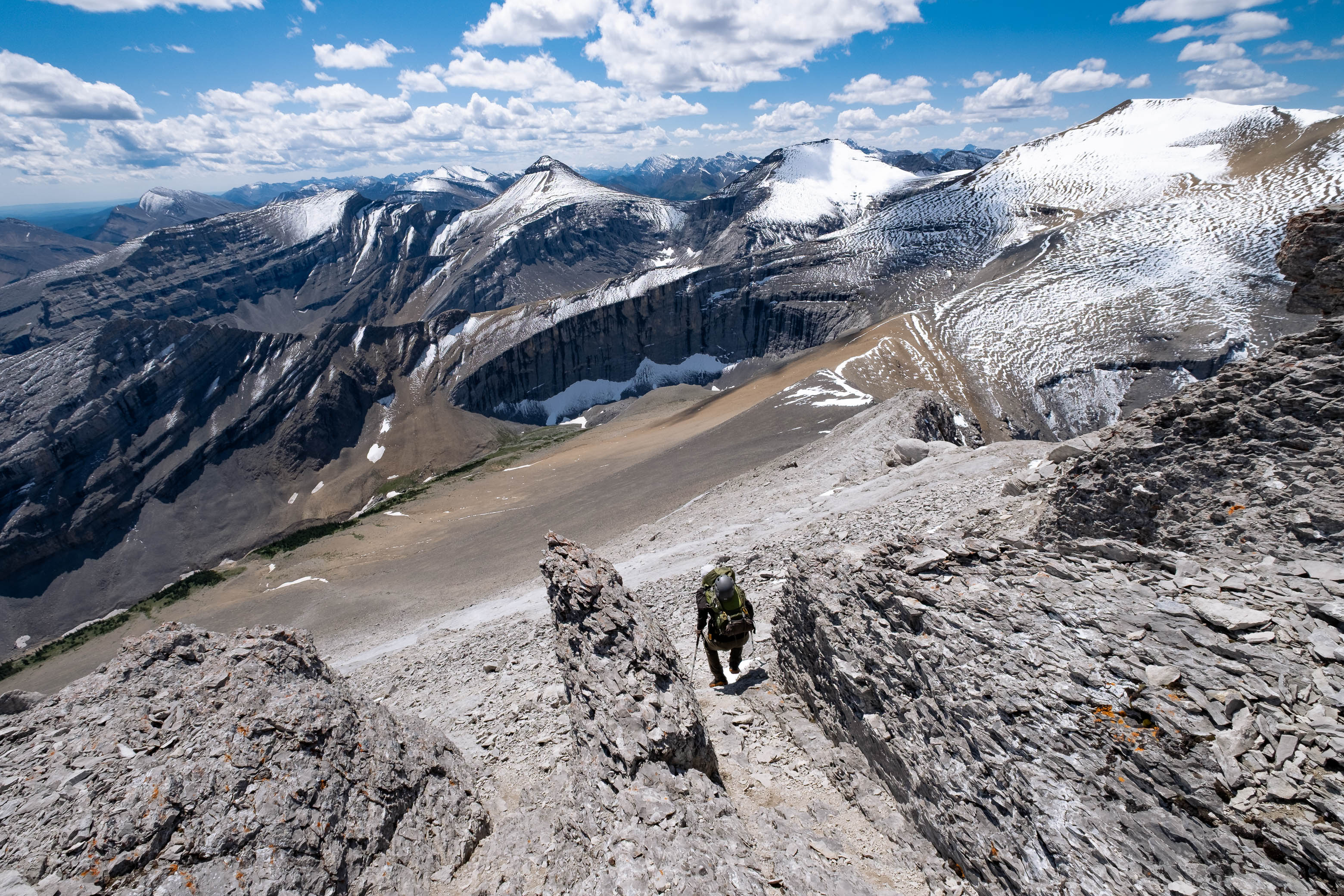
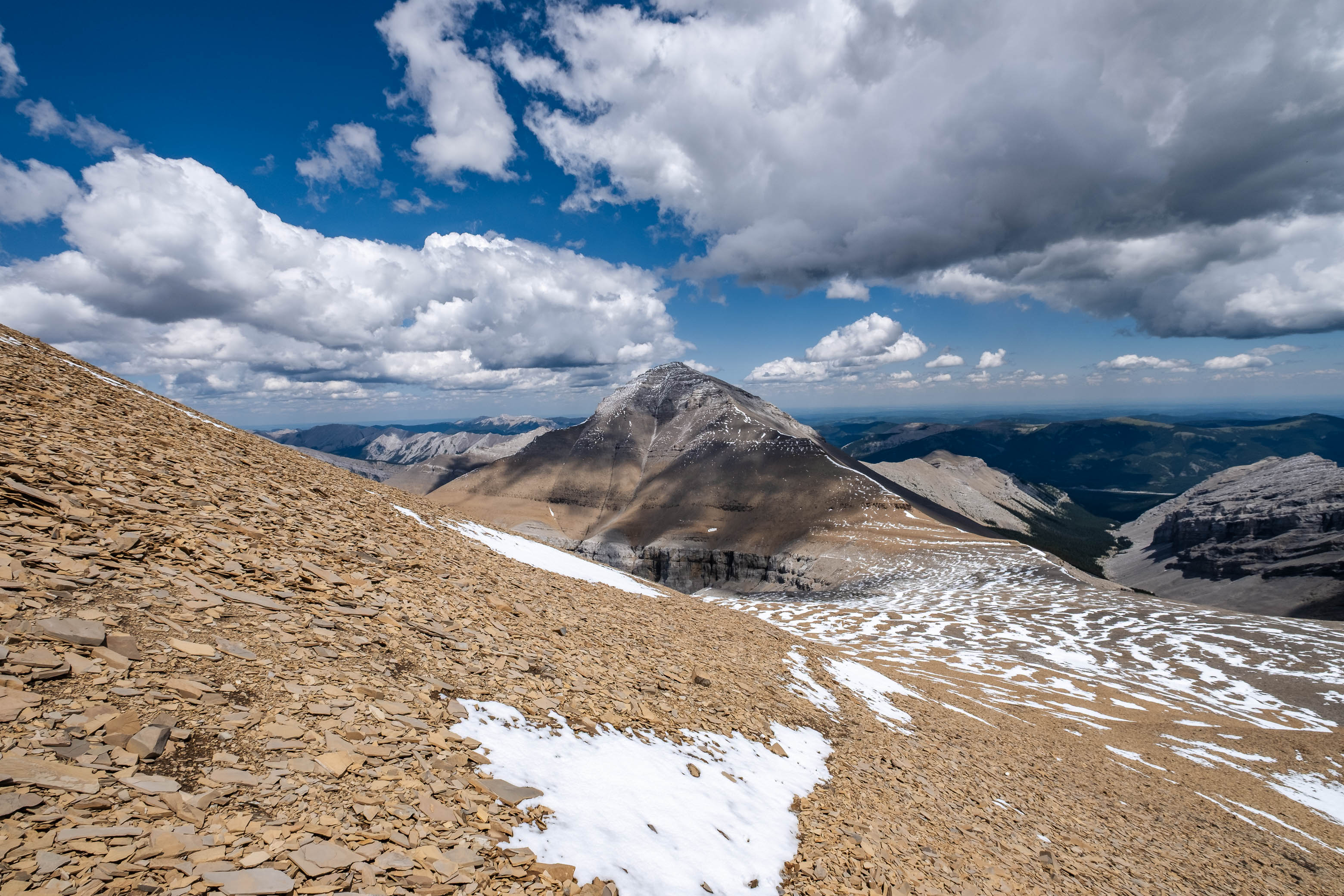
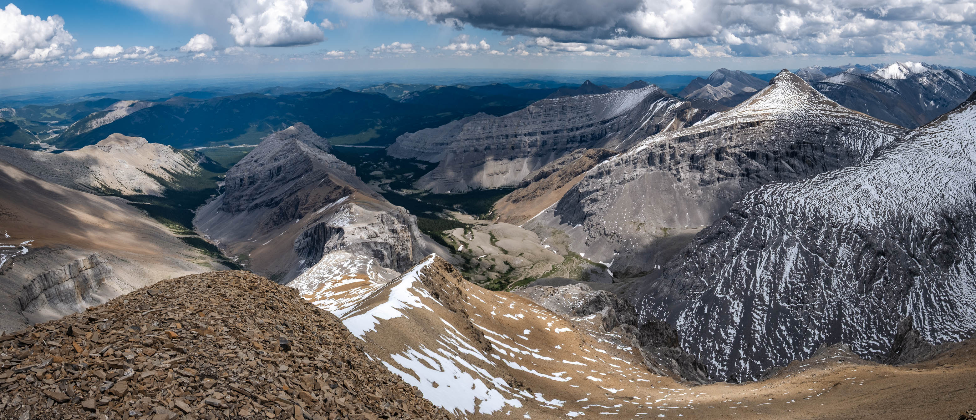
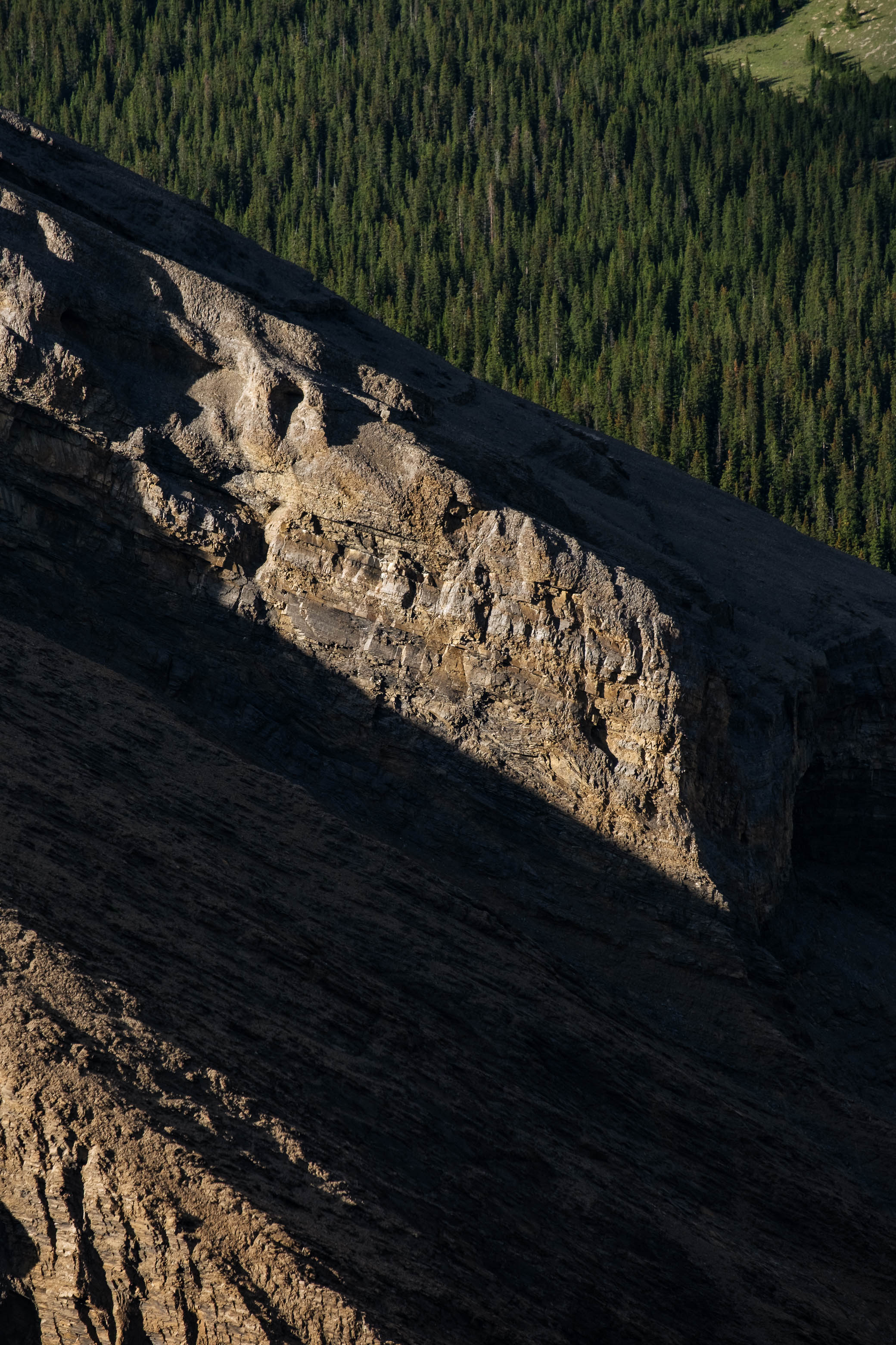
While still largely a scree grind, a few options to engage in some short steps of moderate scrambling present themselves near the top and views across Glasgow's sheer north face, immediately to our left, kept us entertained during this final section of the climb.
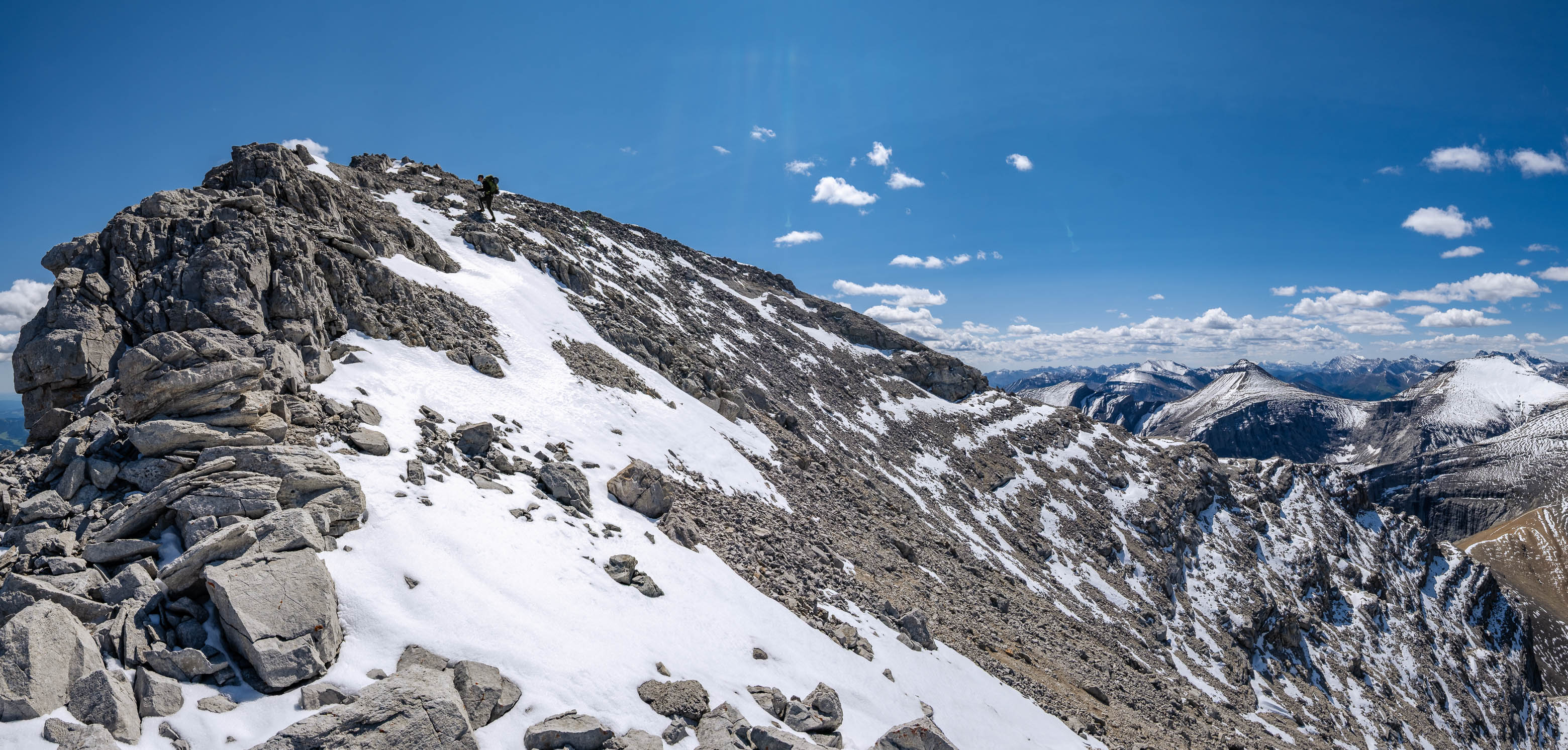
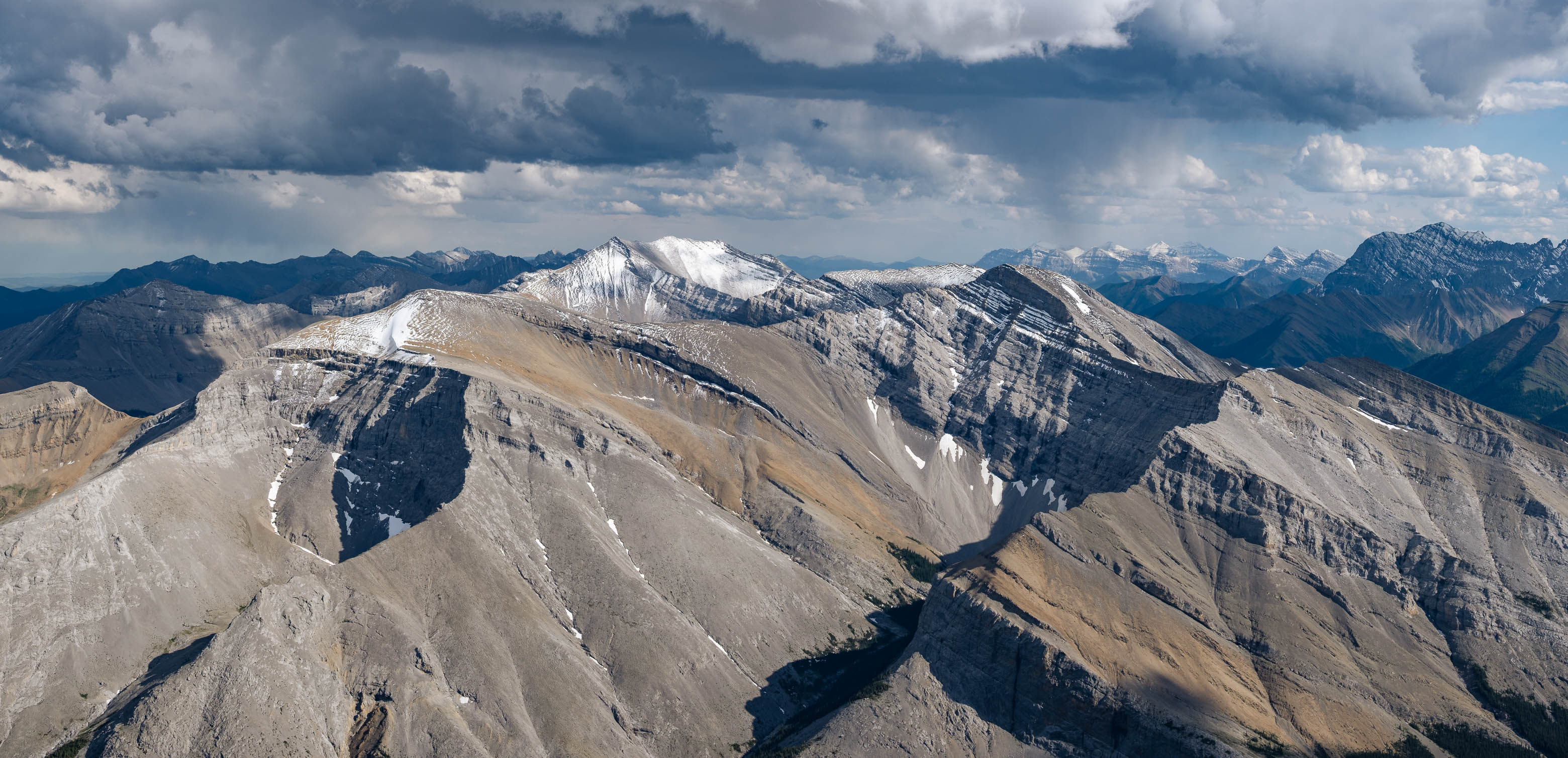
It was a relief to drop our heavy packs beside the summit cairn and gaze out at the views we worked so hard to obtain! The snow from the recent storm was melting rapidly in the midday sun, creating interesting patterns on the surrounding peaks, and although distant, it was cool to see the back/east side of the Opal Range - which is awed at significantly more often from the opposite side, towering directly over Highway 40. The summit was also a perfect vantage point to study the remaining three peaks of the traverse...and boy did they look far away!
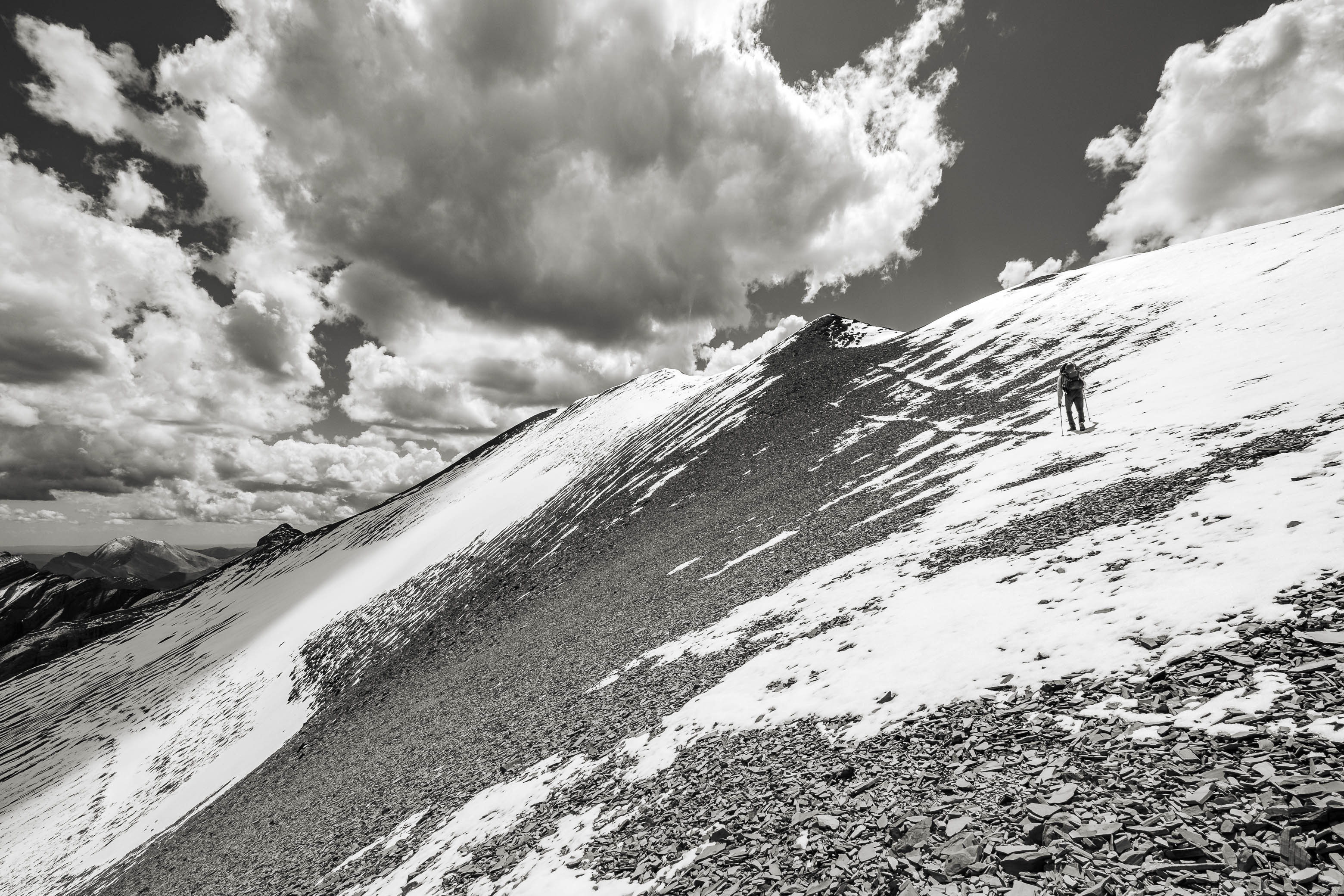
After a relatively short, but much needed, summit break, we begrudgingly shrugged back into our packs and started down the ridge towards peak #2!
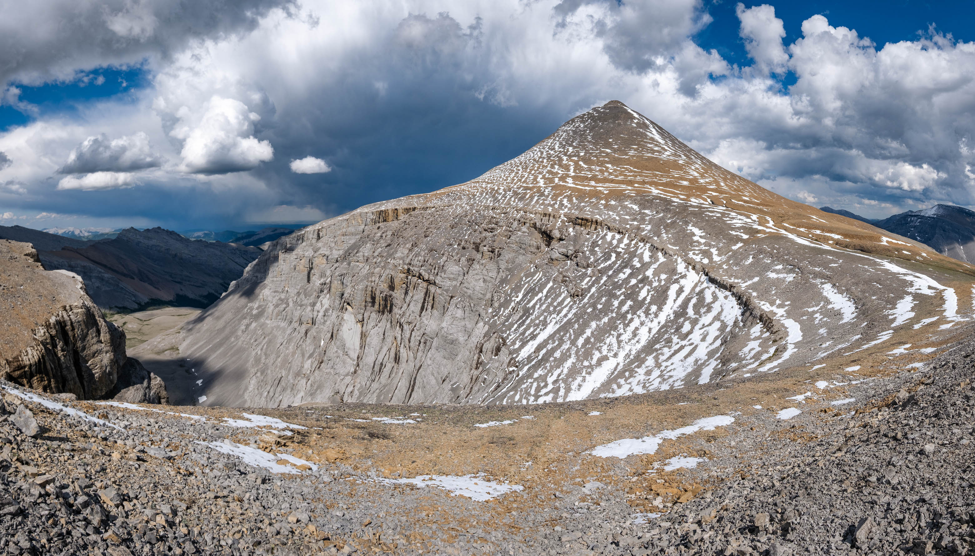
I was feeling much better at this point (I suppose forcing my body to adapt to the added weight was the right play 😉), but that was just the easy part...Now it was time to regain all that elevation we'd just lost (plus extra!), to reach the 2970 m summit of Mount Cornwall!
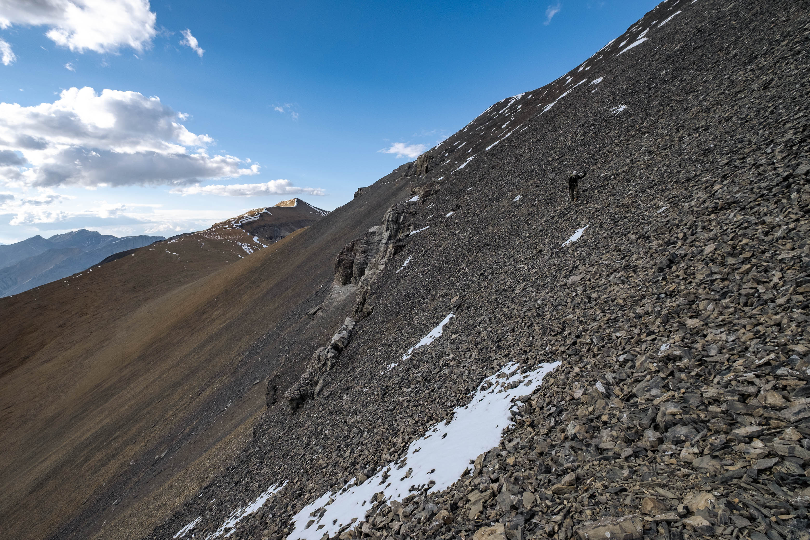
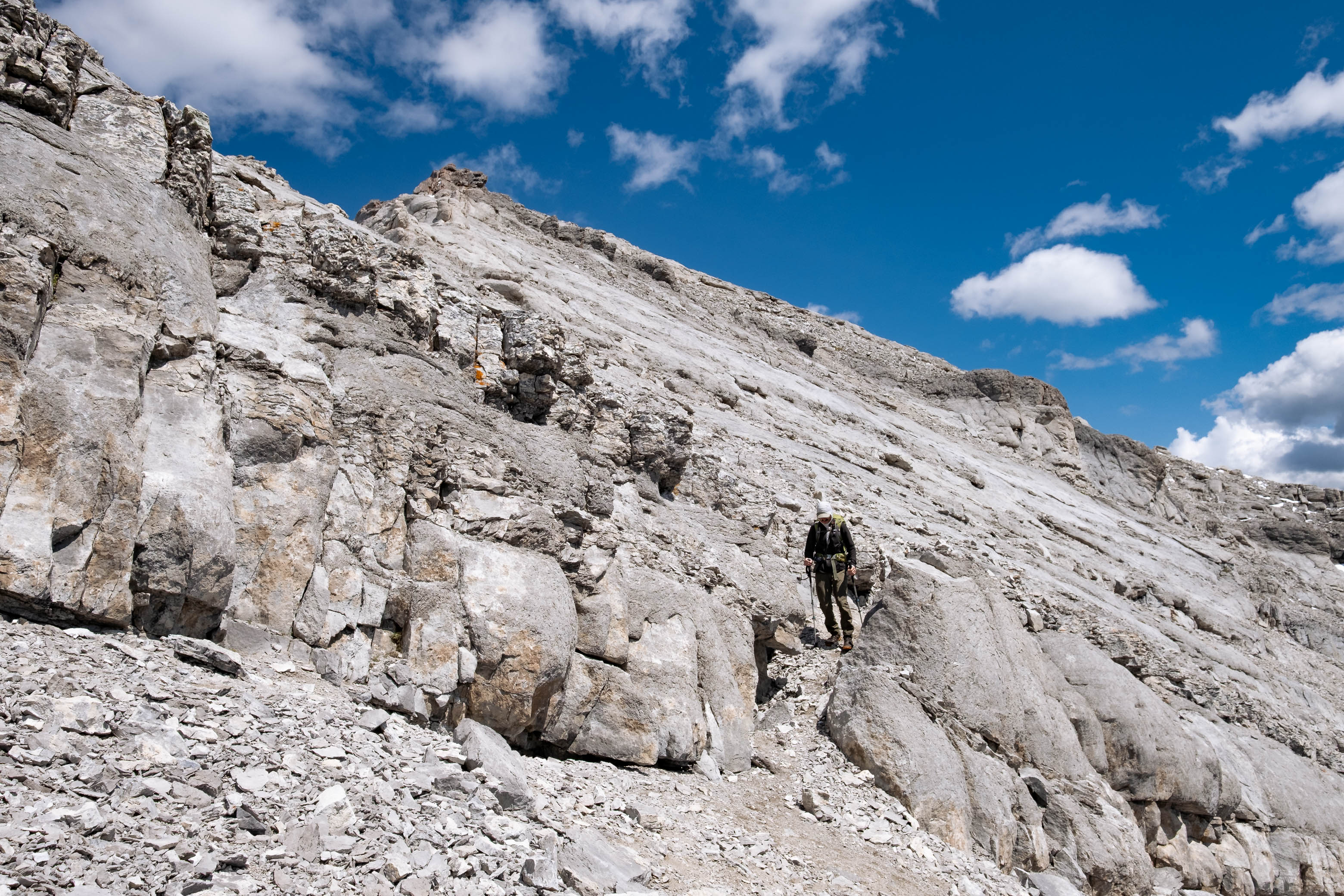
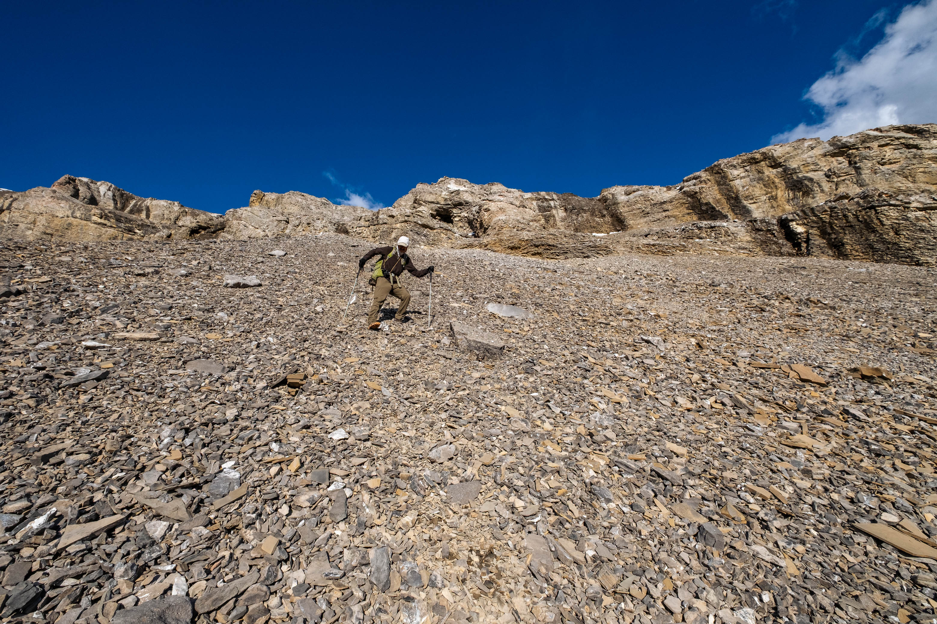
The ascent of Cornwall really goes without explanation. Simply trudge up that big, brown pile of scree until you reach the top! I will warn however, that this slope is greatly foreshortened! The summit ridge just never seems to get any closer and the col behind never seems to get any further! We genuinely felt like we weren't going anywhere! But don't worry, I promise you're making progress! - At least that's what I continued to tell myself...😂
Luckily our bodies were continuing to adapt, and it seemed the farther we went, the better we felt. Before long we were standing on our second summit of the day!
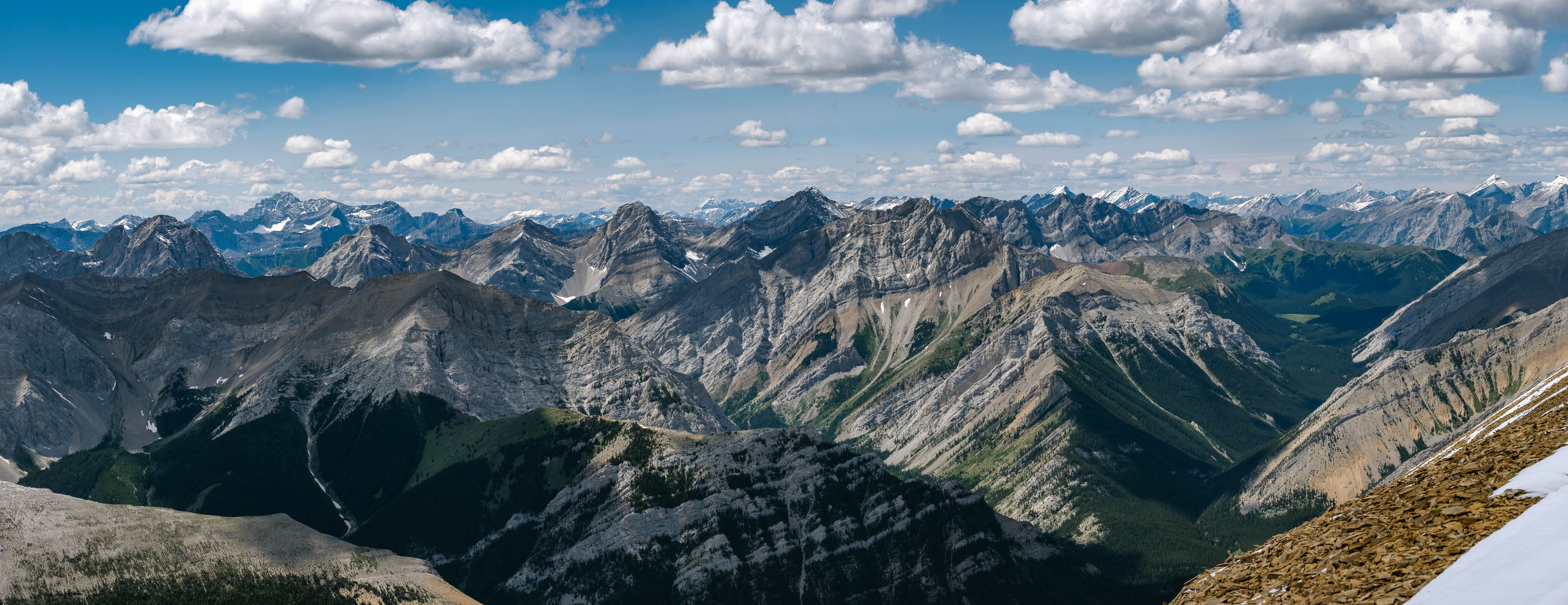
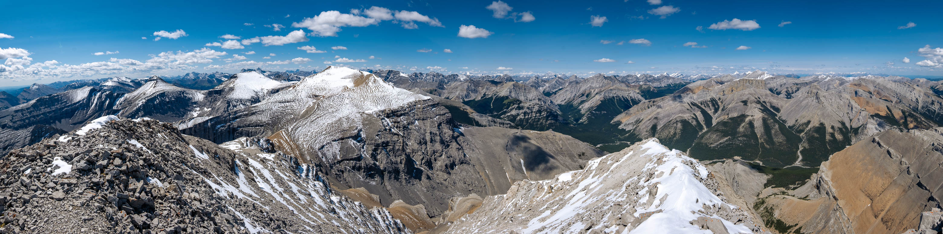
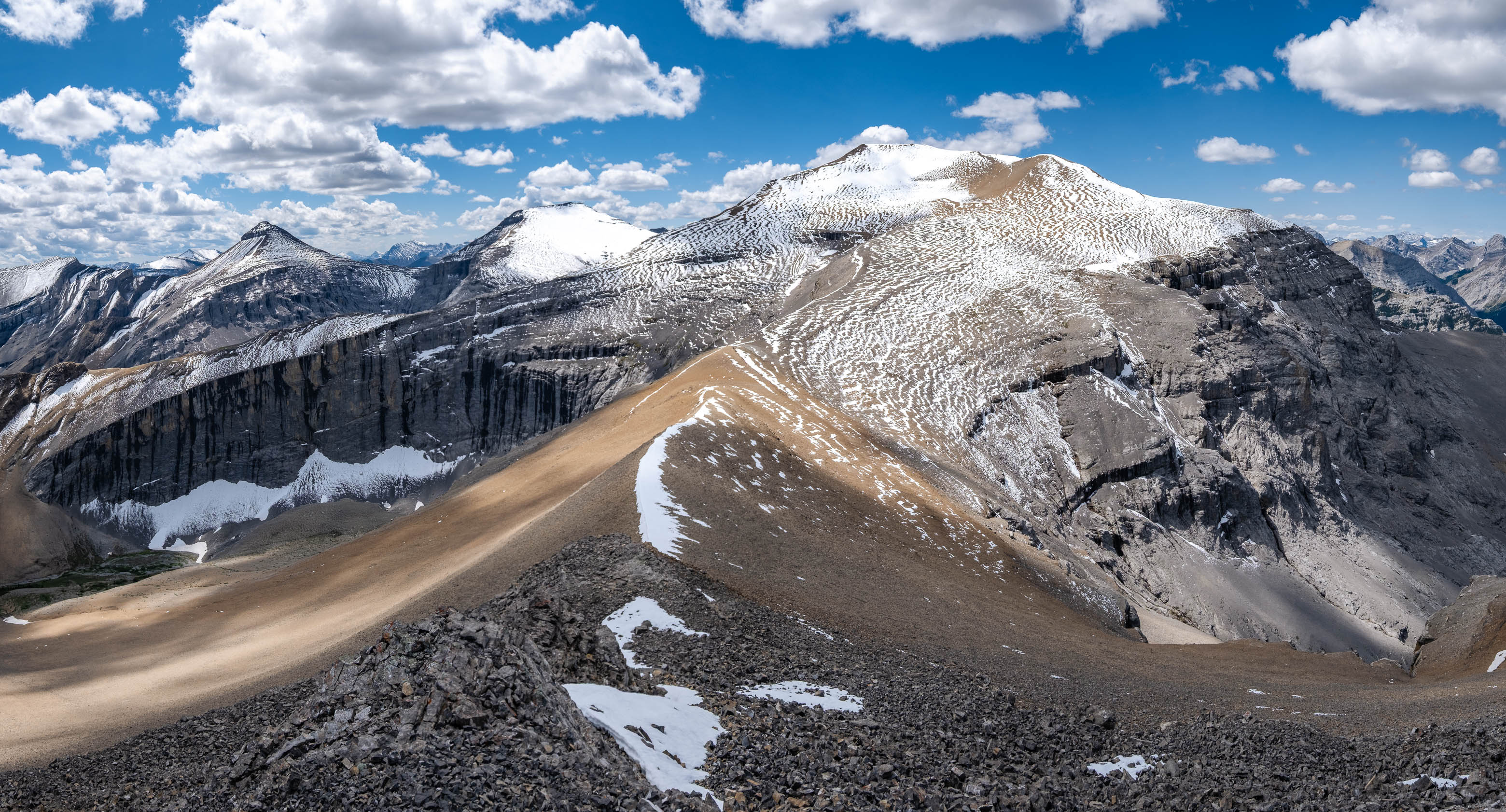
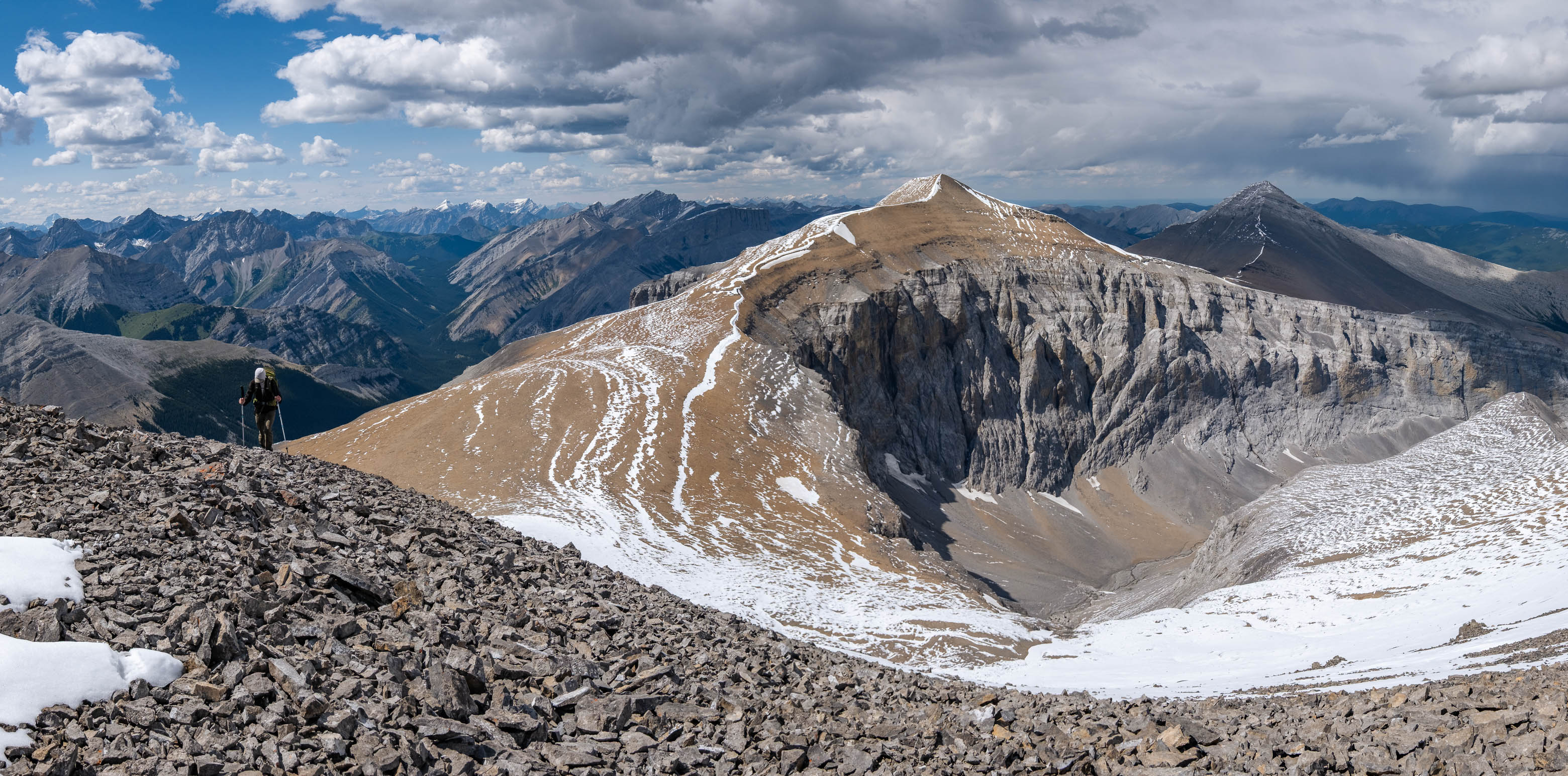
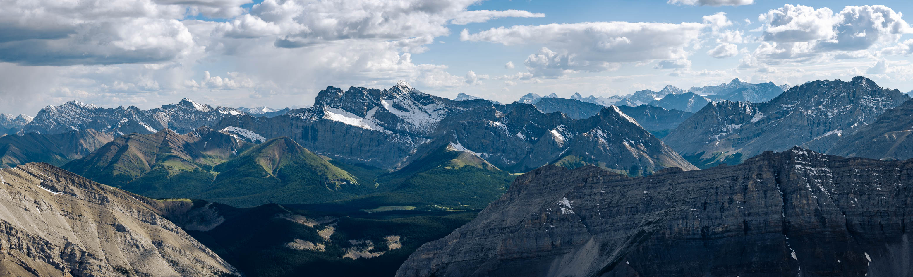
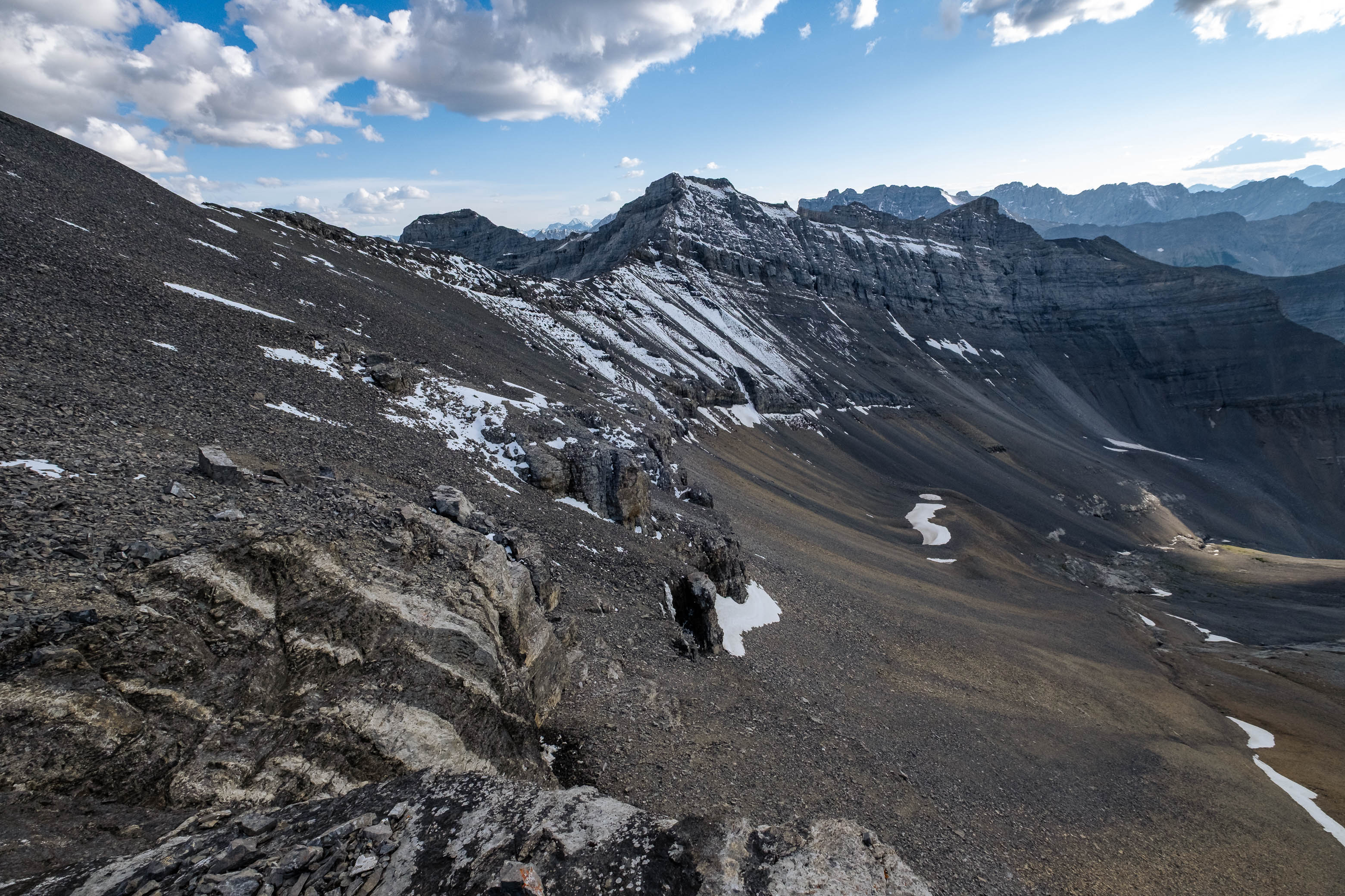
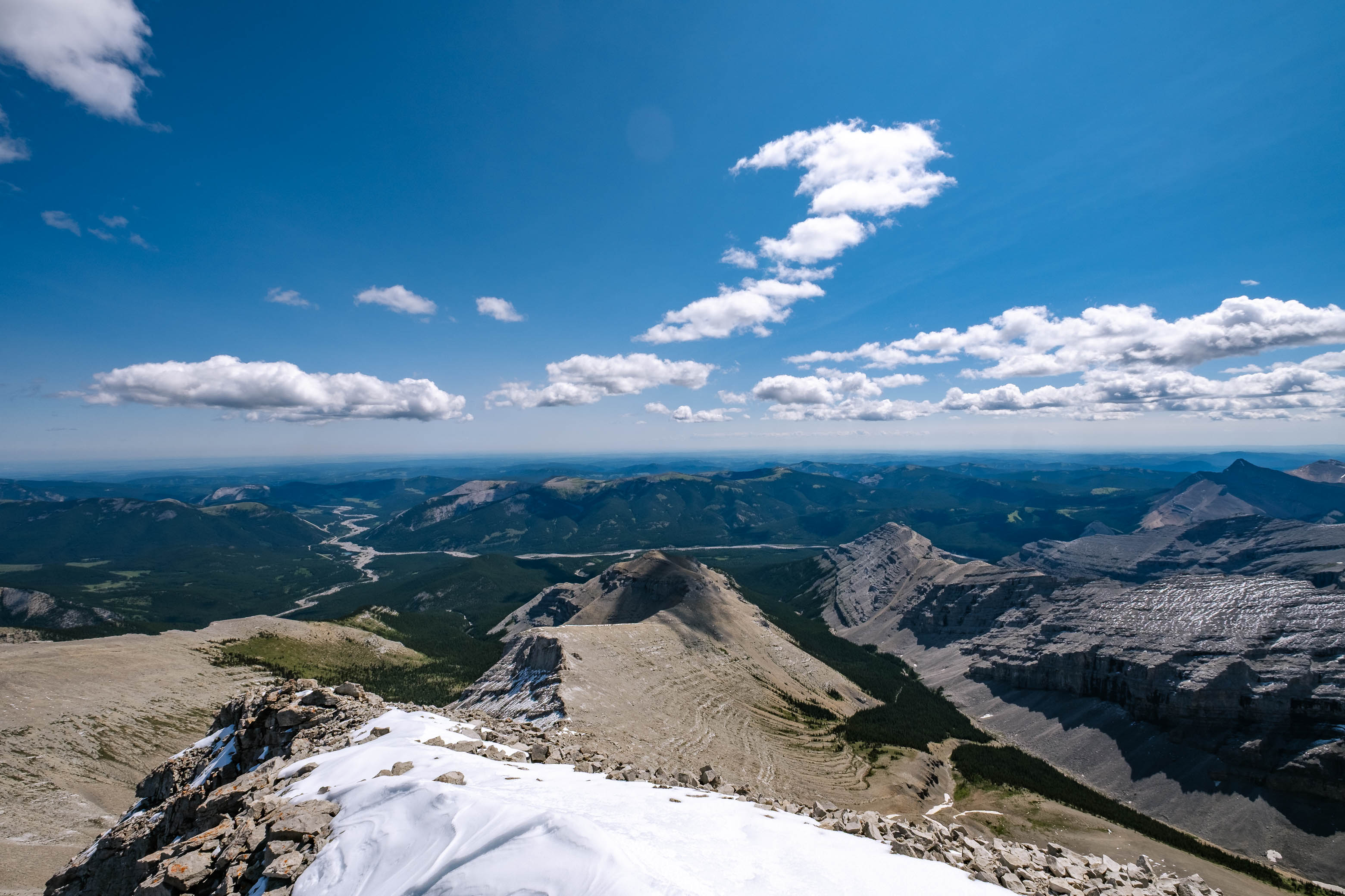
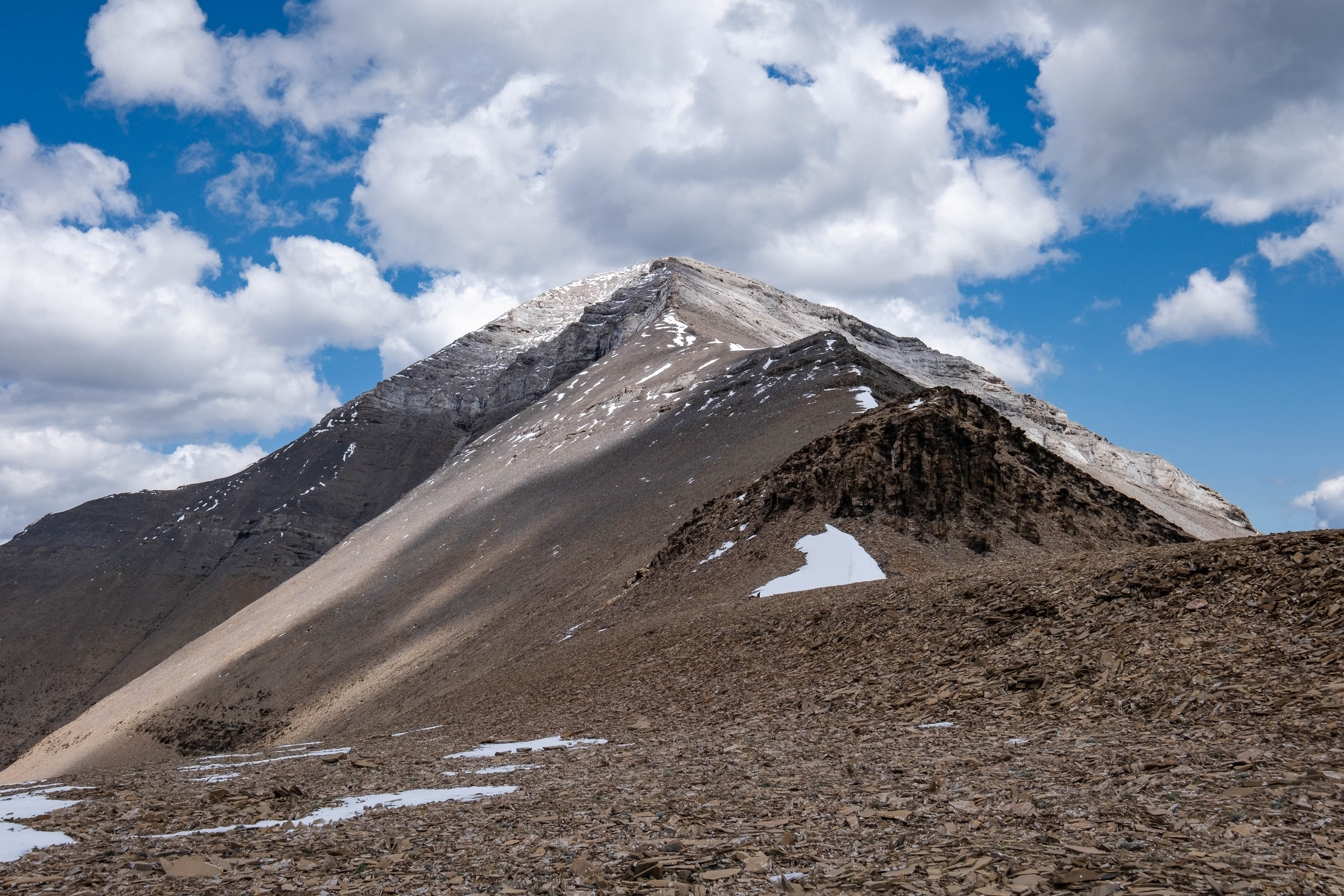
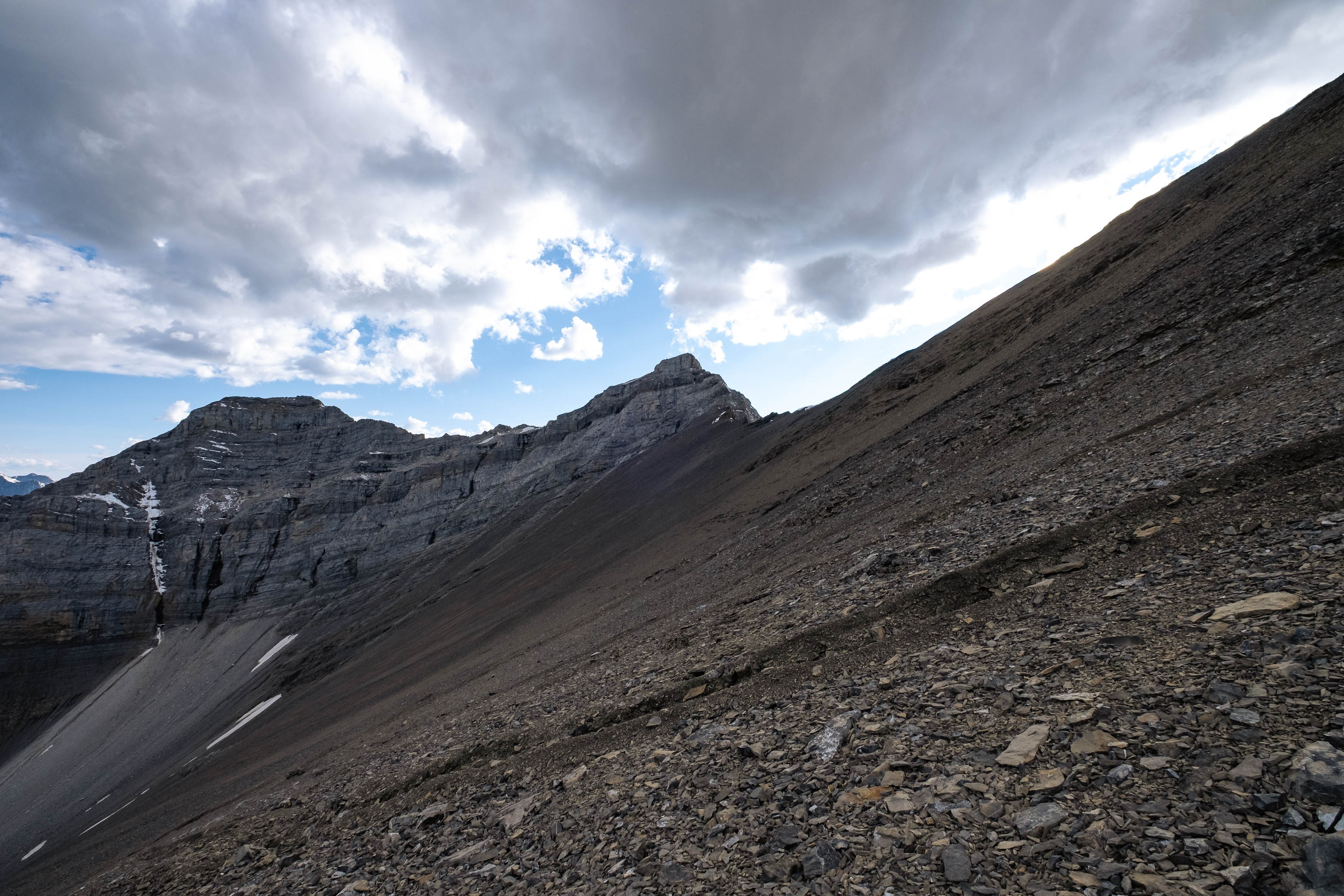
At a distance, views were largely the same as from Glasgow (not much of a surprise given that these peaks are nearly the same height, just 2.3 km apart), but it was neat to look back across the col to where we came from, and ahead, down the ridge, to the remaining two peaks of the traverse.

Out of all four peaks, Cornwall was the only one to hold a register on its summit, and after signing our names, refueling our tired bodies, and enjoying a few more minutes "backpack-free", we continued on to Outlaw Peak.
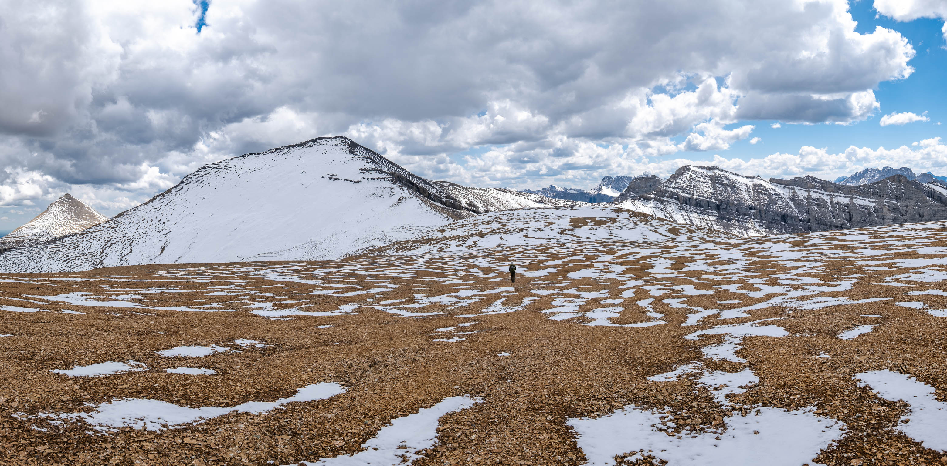
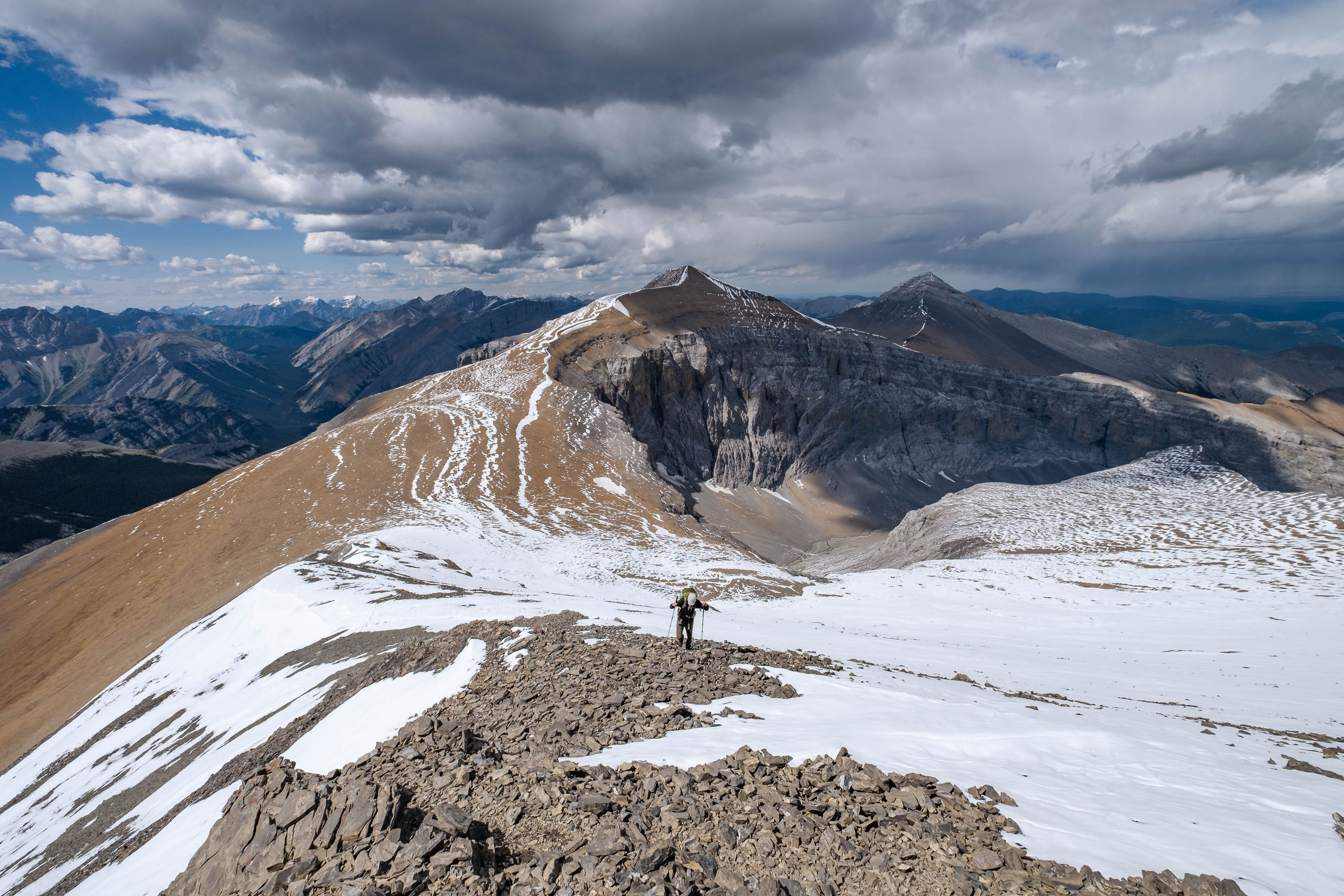
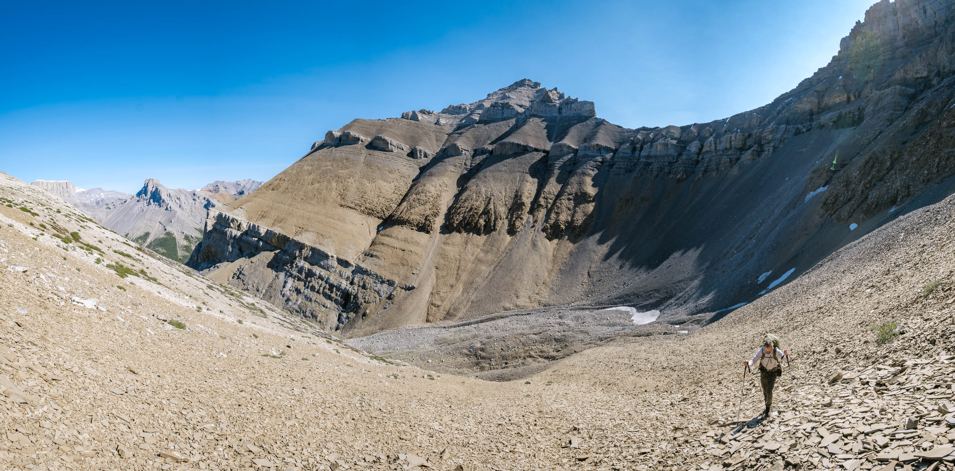
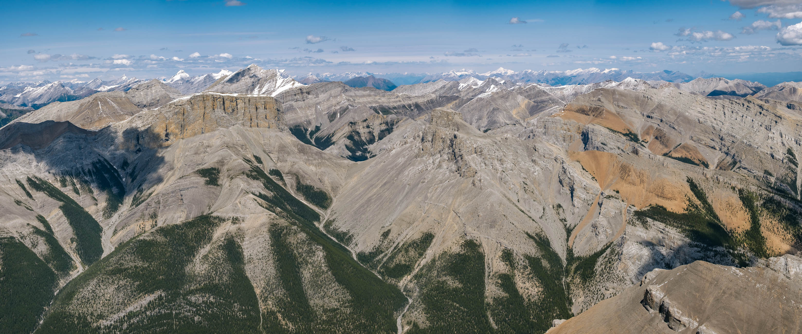
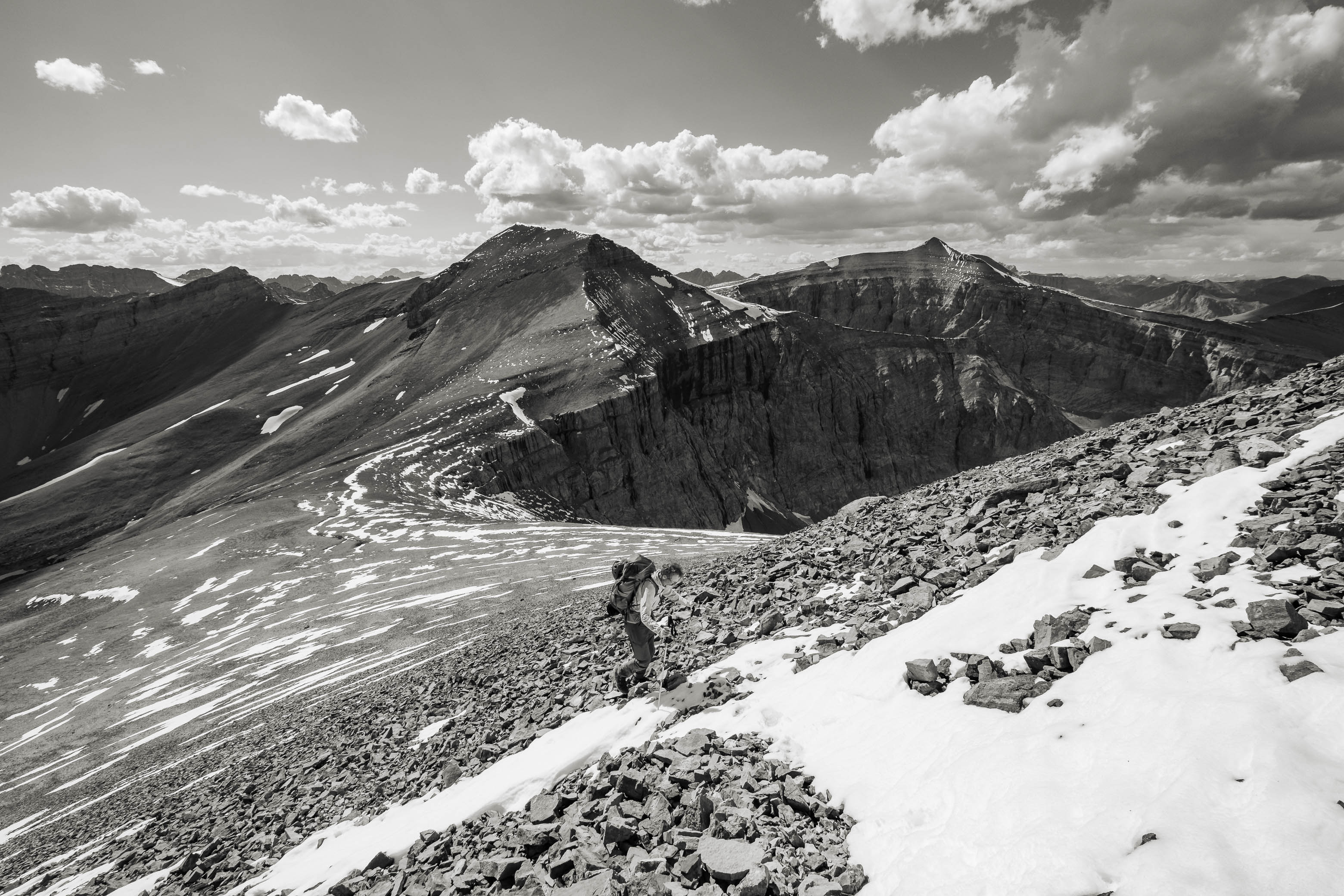
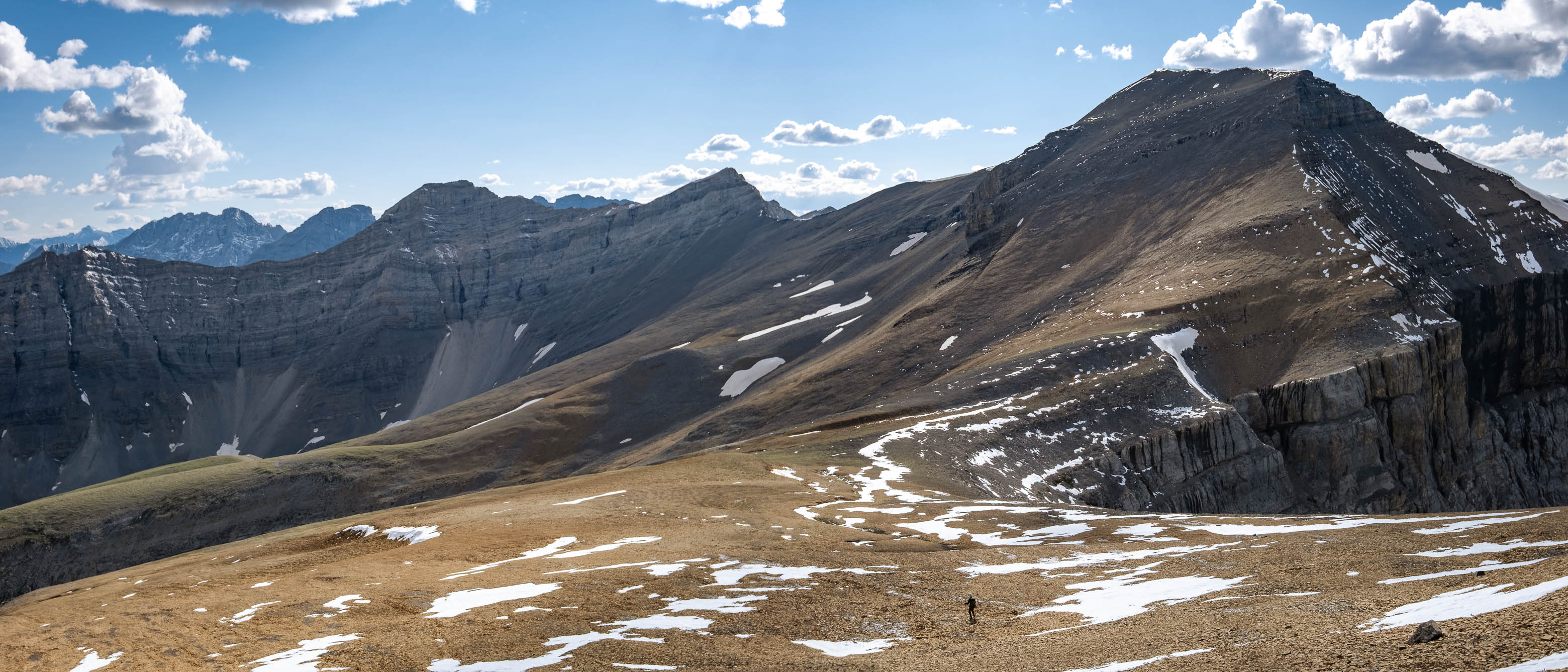
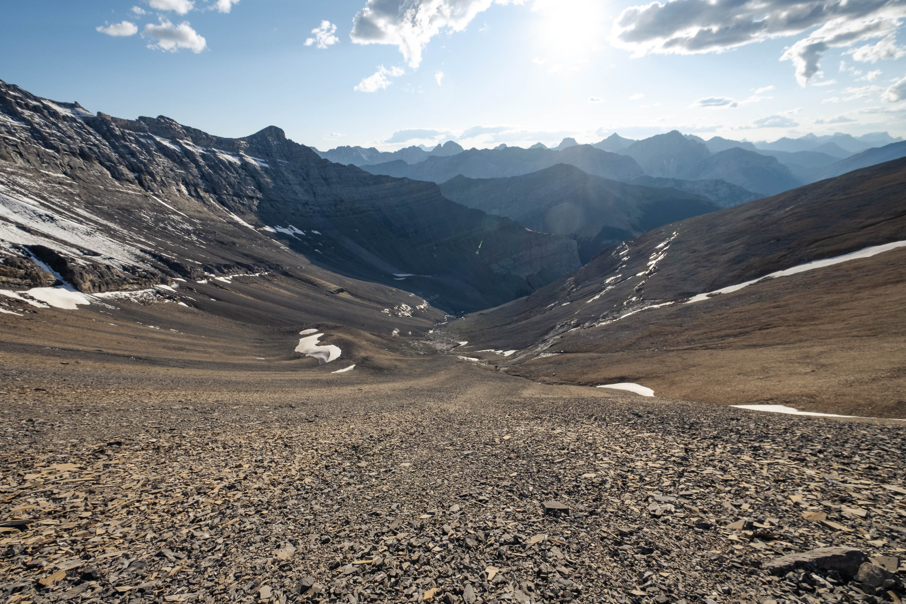
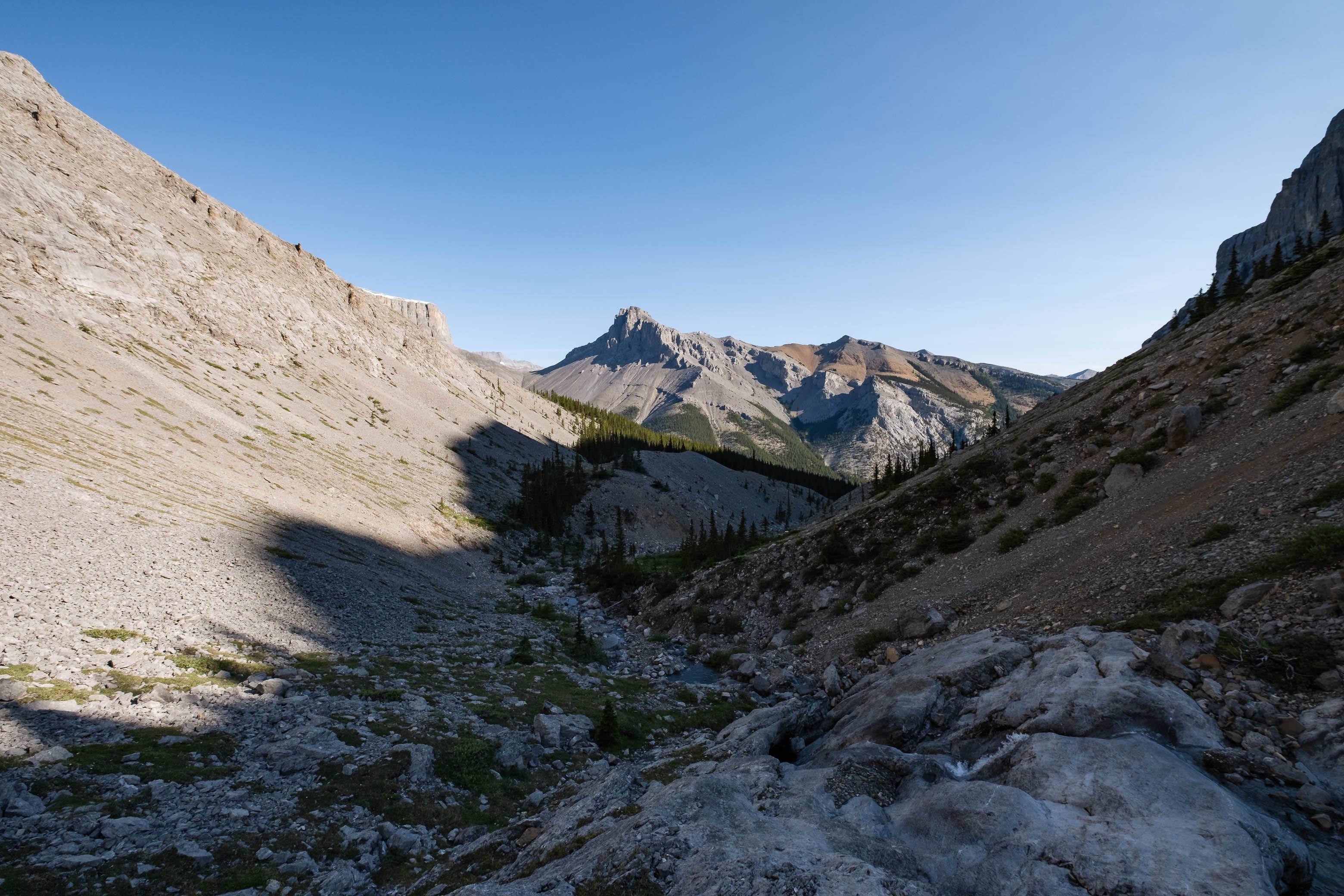
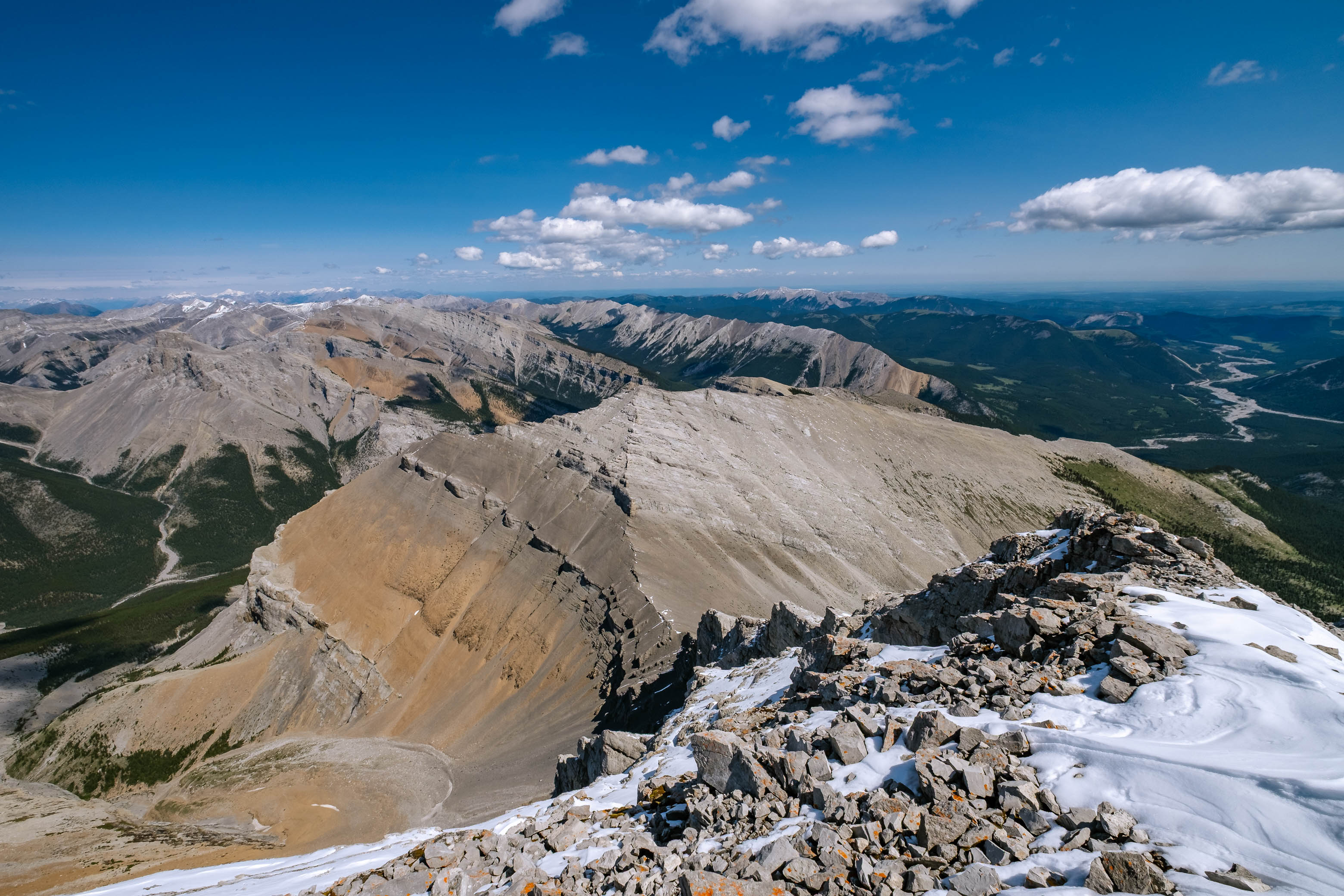
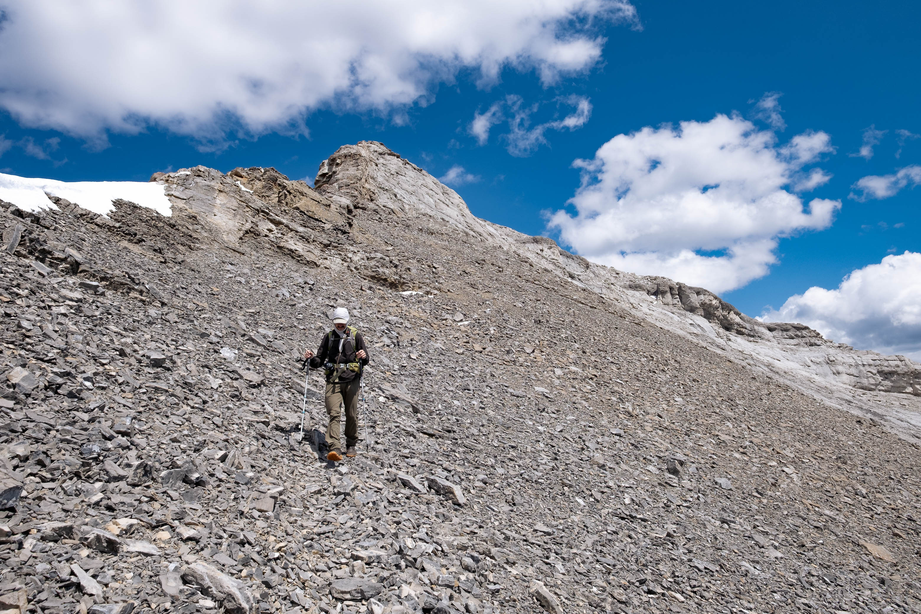
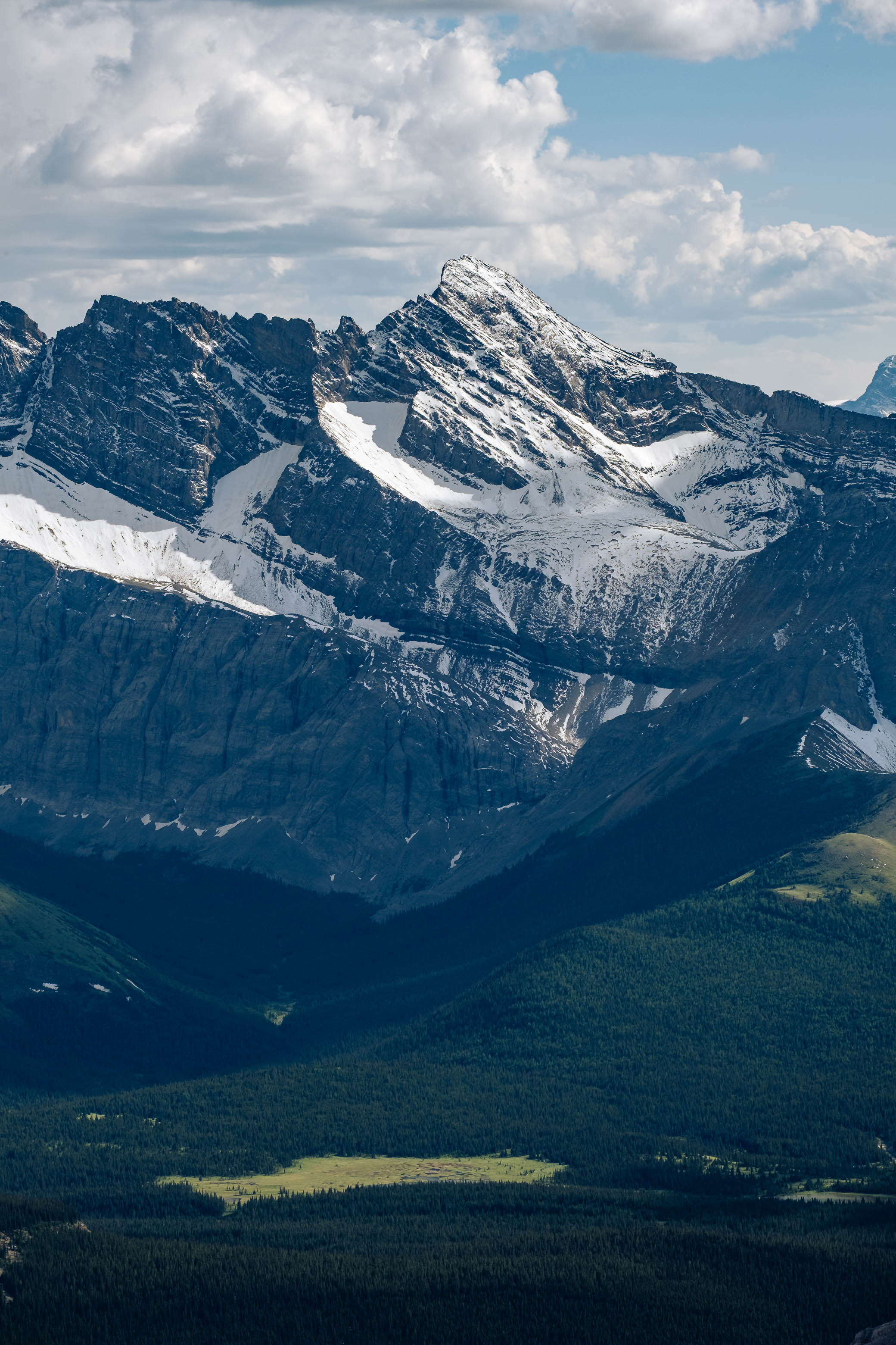
As you gain elevation up Outlaw's northwest ridge you'll get a good overview of the large scree bowl directly to your right (used on descent). I would highly recommend taking some time to study it, picking out a feasible route through the cliffband, noting landmarks to help you find that route from above, and taking a picture for reference. While we did the first couple things I recommend here, what we failed to do was take a picture...The route may seem obvious now, but it sure won't be when you're standing over a collection of seemingly identical scree chutes, most of which end in cliffs!
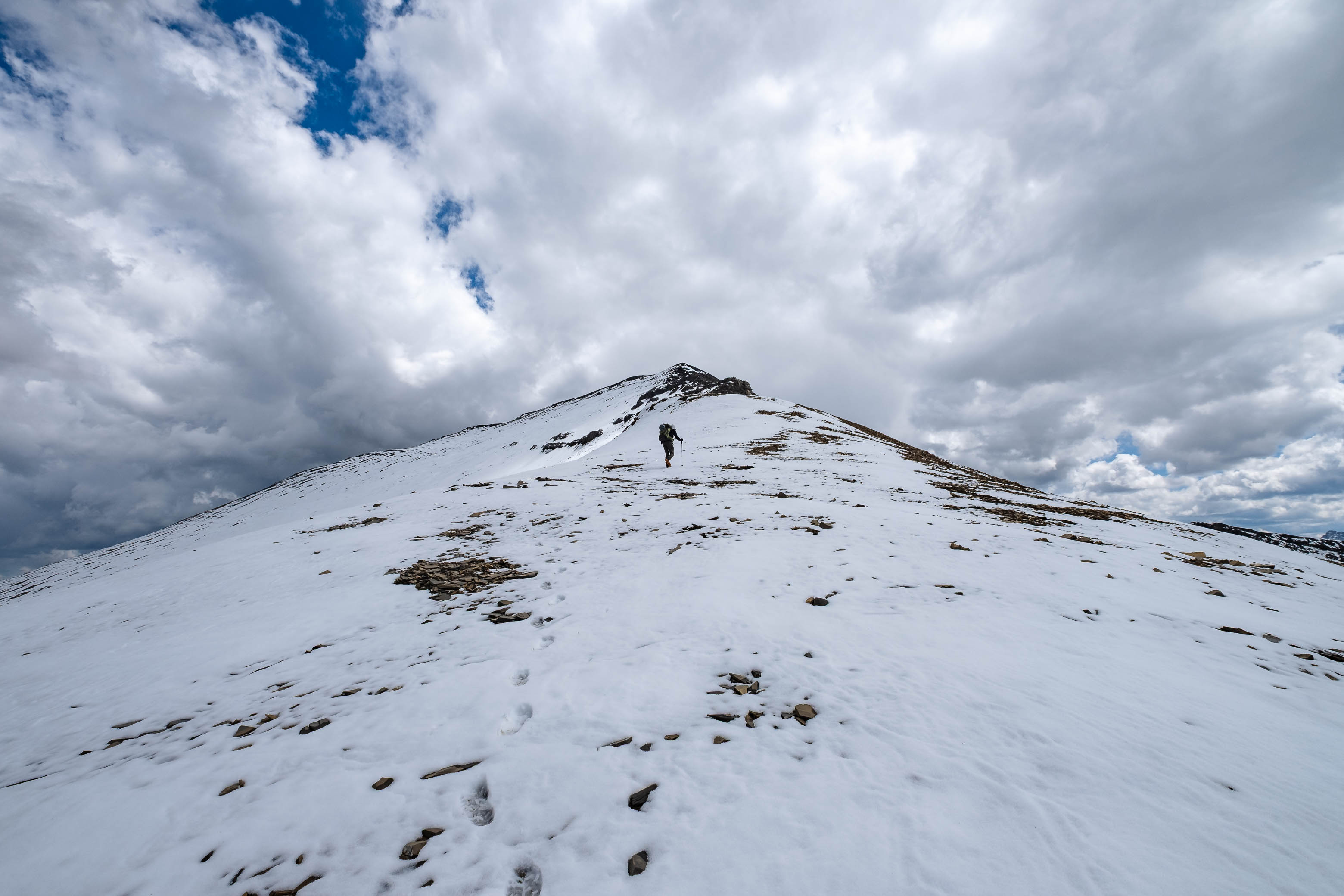
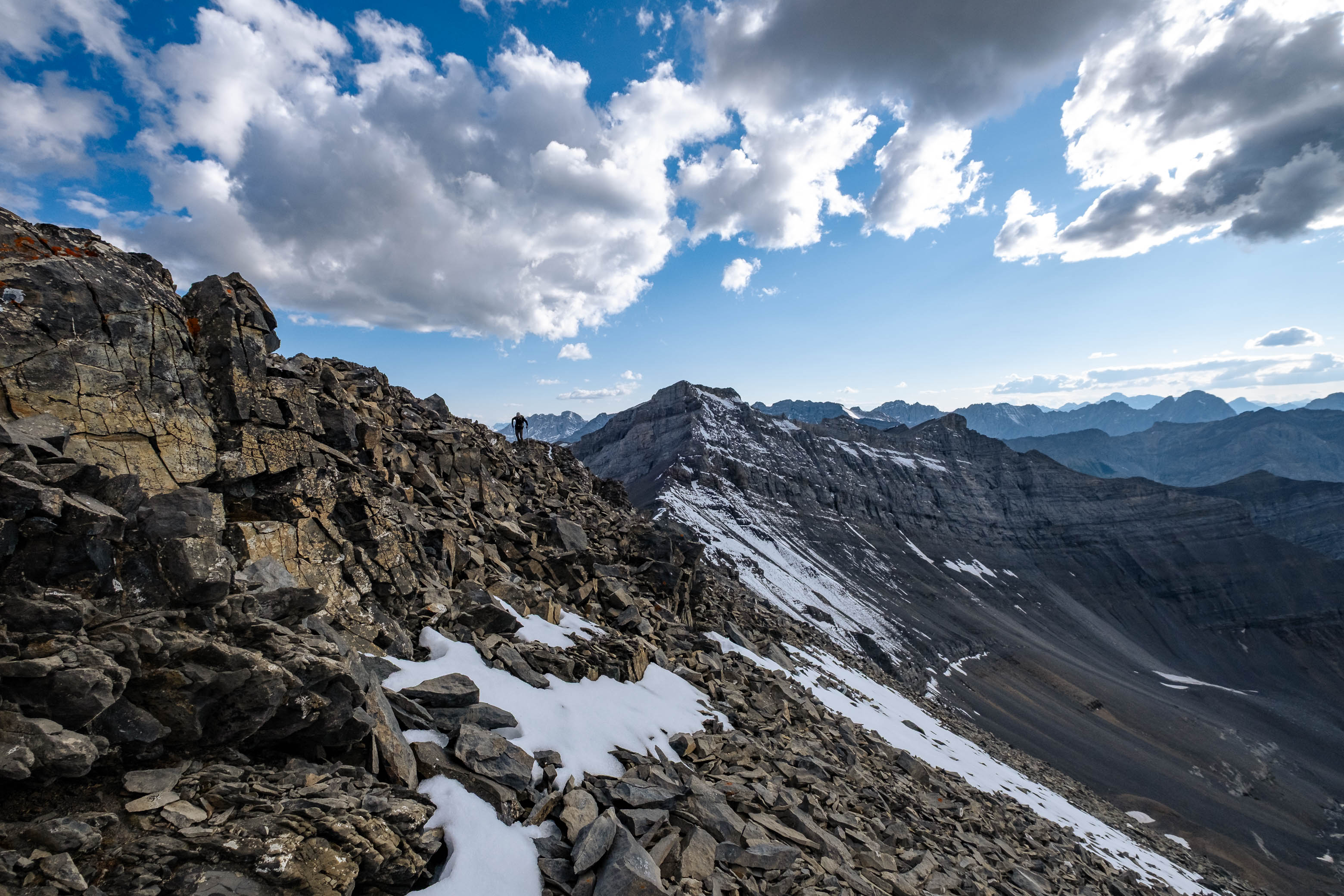
The Cornwall to Outlaw stretch is definitely the easiest part of the traverse, and aside from a short, moderate cliffband, was just another simple scree hike to the top of peak #3!
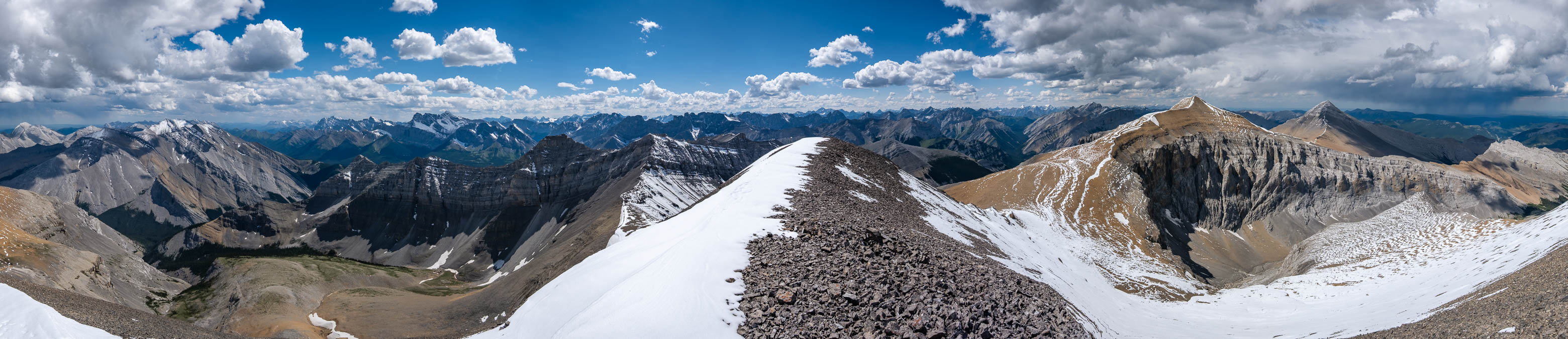
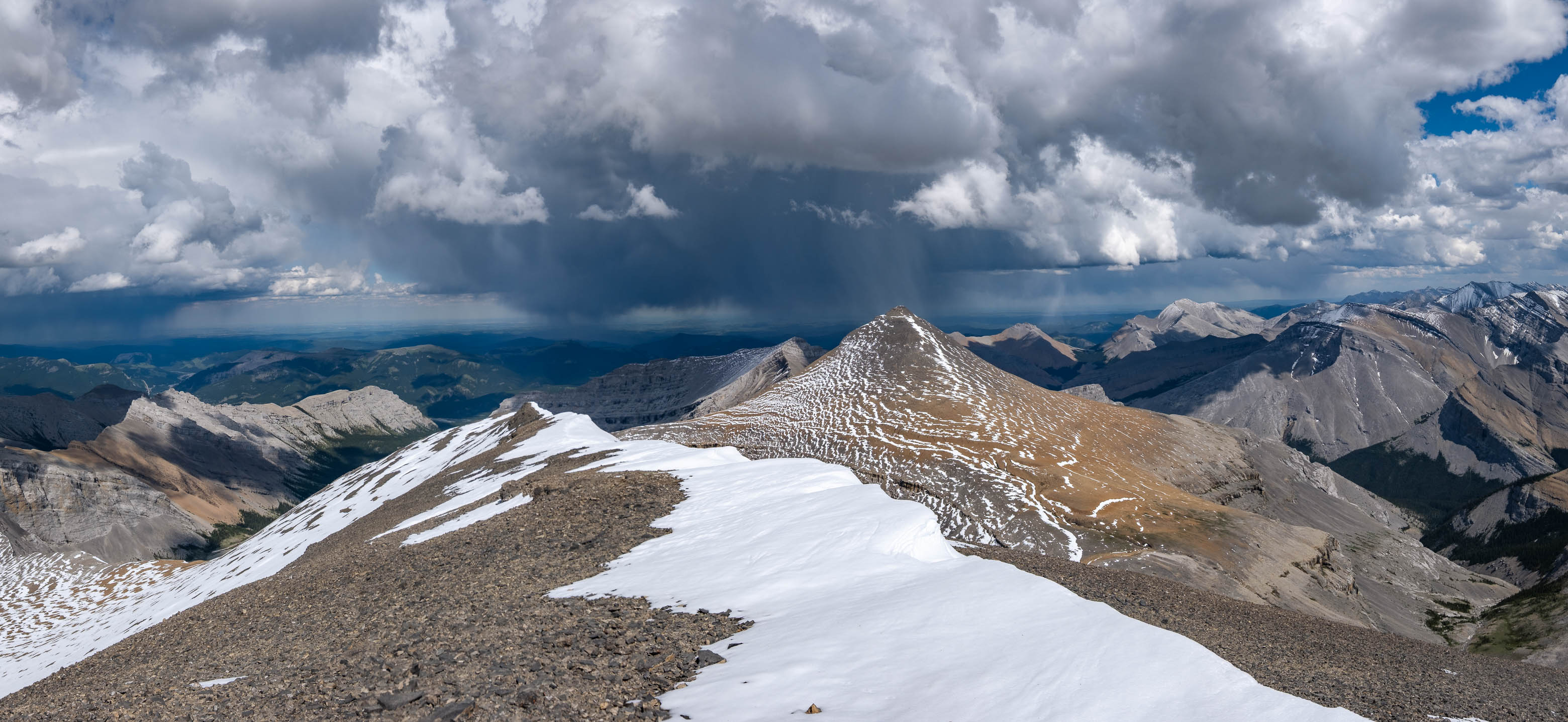
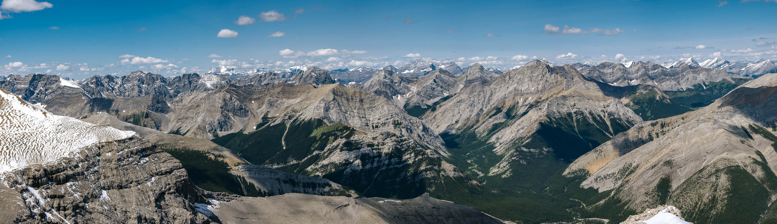
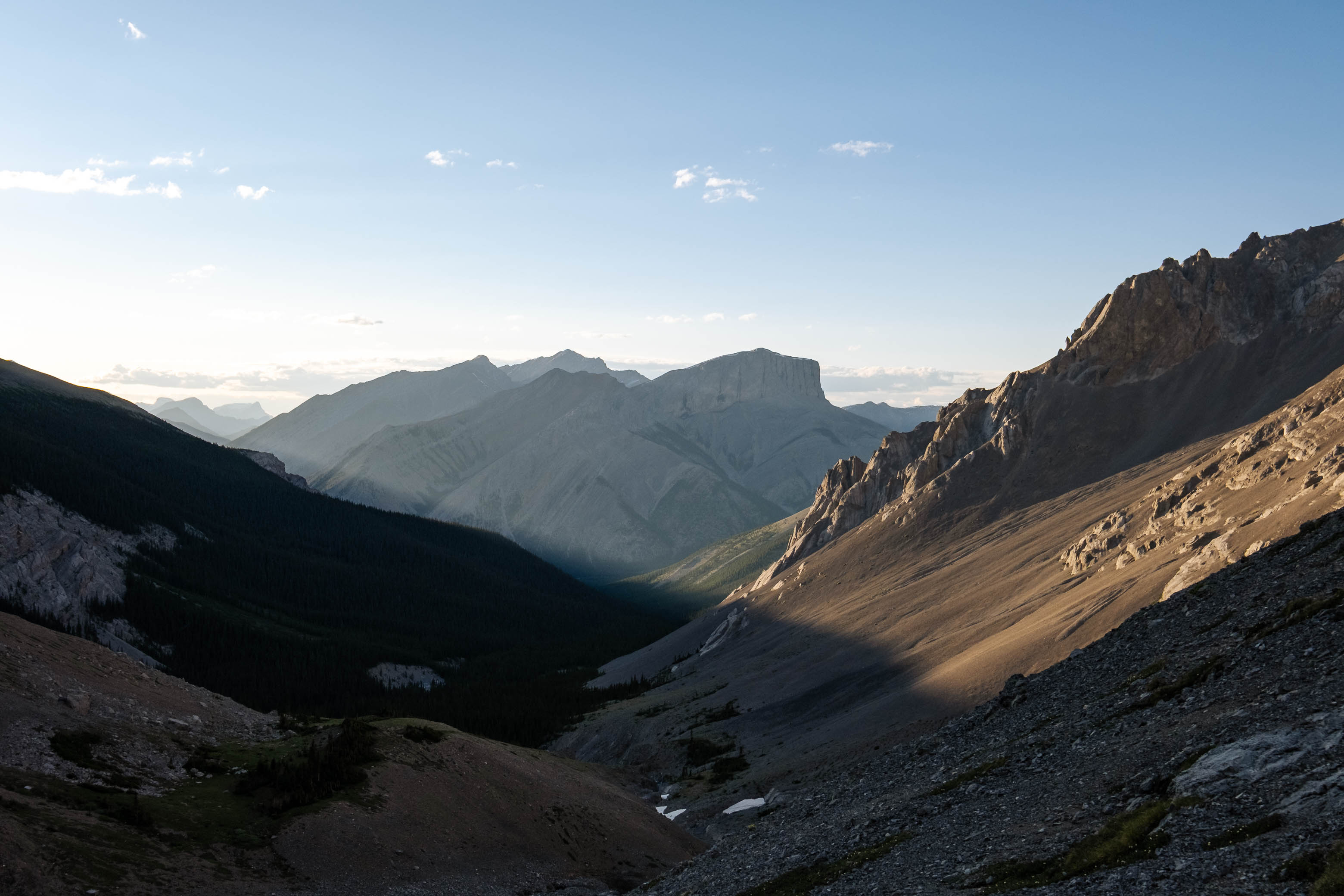
As we took some time to relax on the summit, we began to notice the distinct rumble of thunder, no doubt coming from the dark clouds hovering over the prairies just beyond Banded Peak to the east! While the dramatic views that resulted were absolutely stunning, our pace gained a little bit of urgency as we continued on towards the fourth and final summit of our traverse!
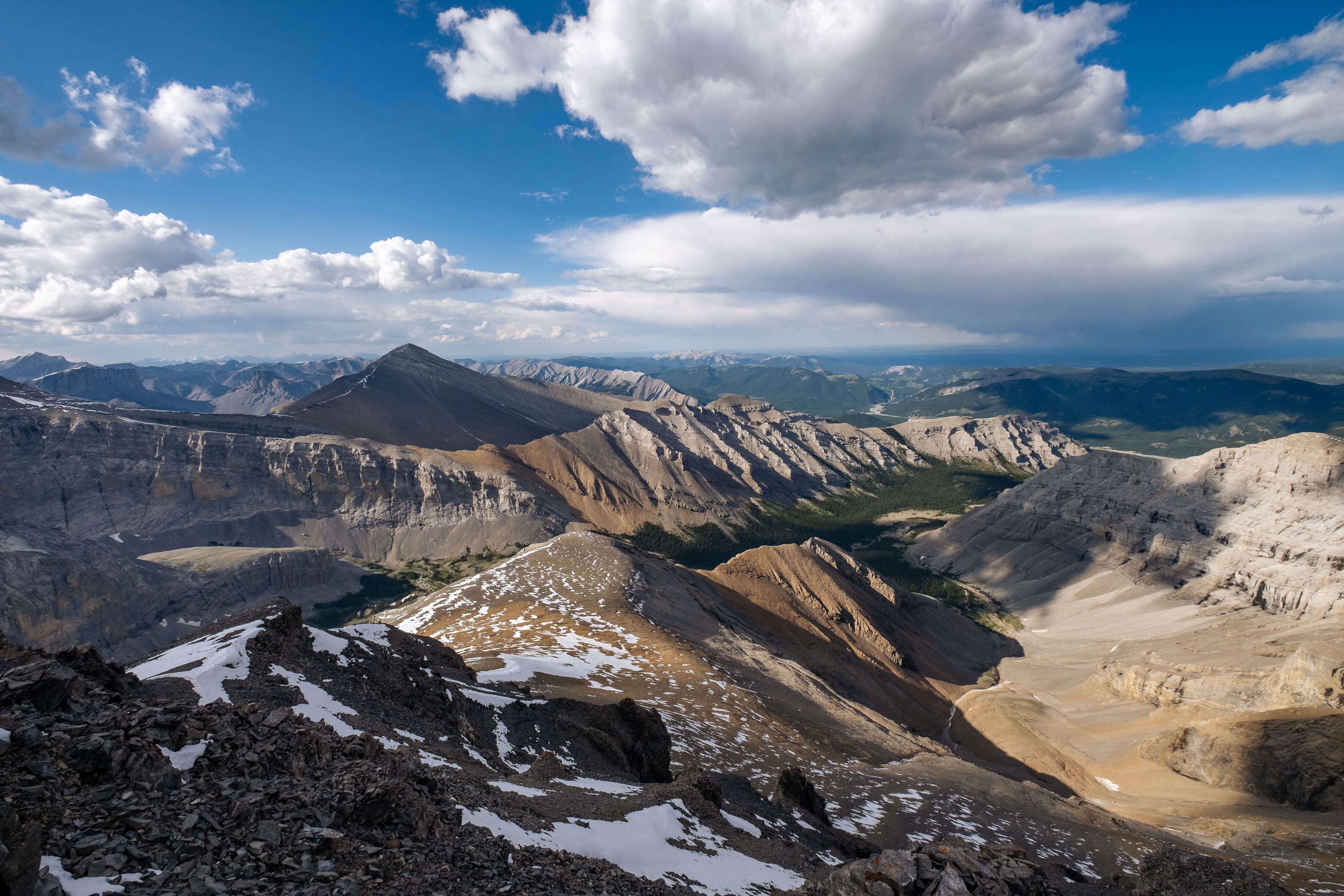
Luckily the storm had continued moving east, and we spent a good hour soaking in the beautiful early evening sunlight as we watched streaks of rain continue to pour down from the dark clouds hovering just out of reach.

When we'd had our fill (or rather, when a big cloud rudely decided to block the warm sun from lighting up our little summit perch), we heaved our packs onto our backs one last time, and retraced our steps back down Banded's easy, western ascent slopes.
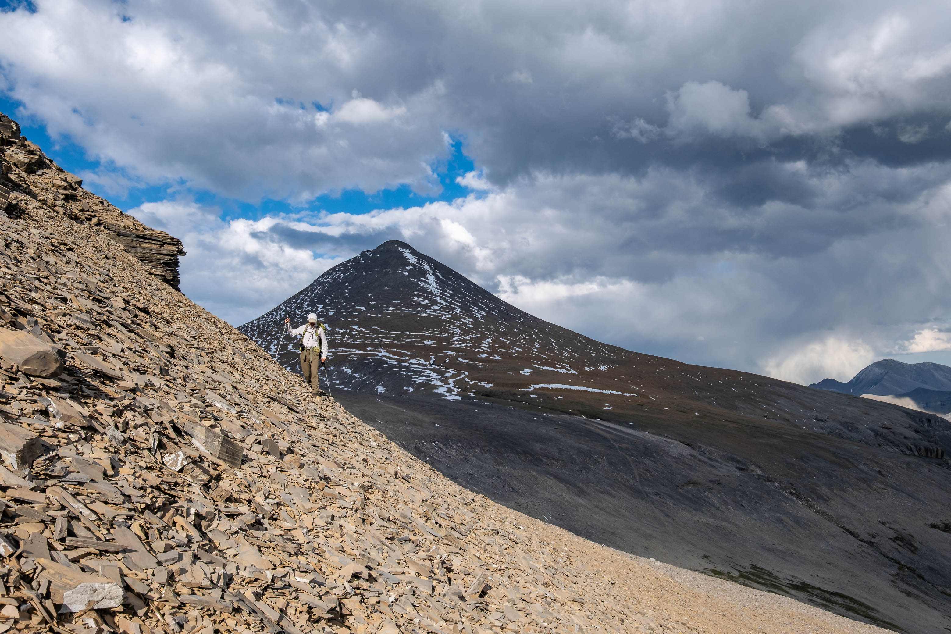
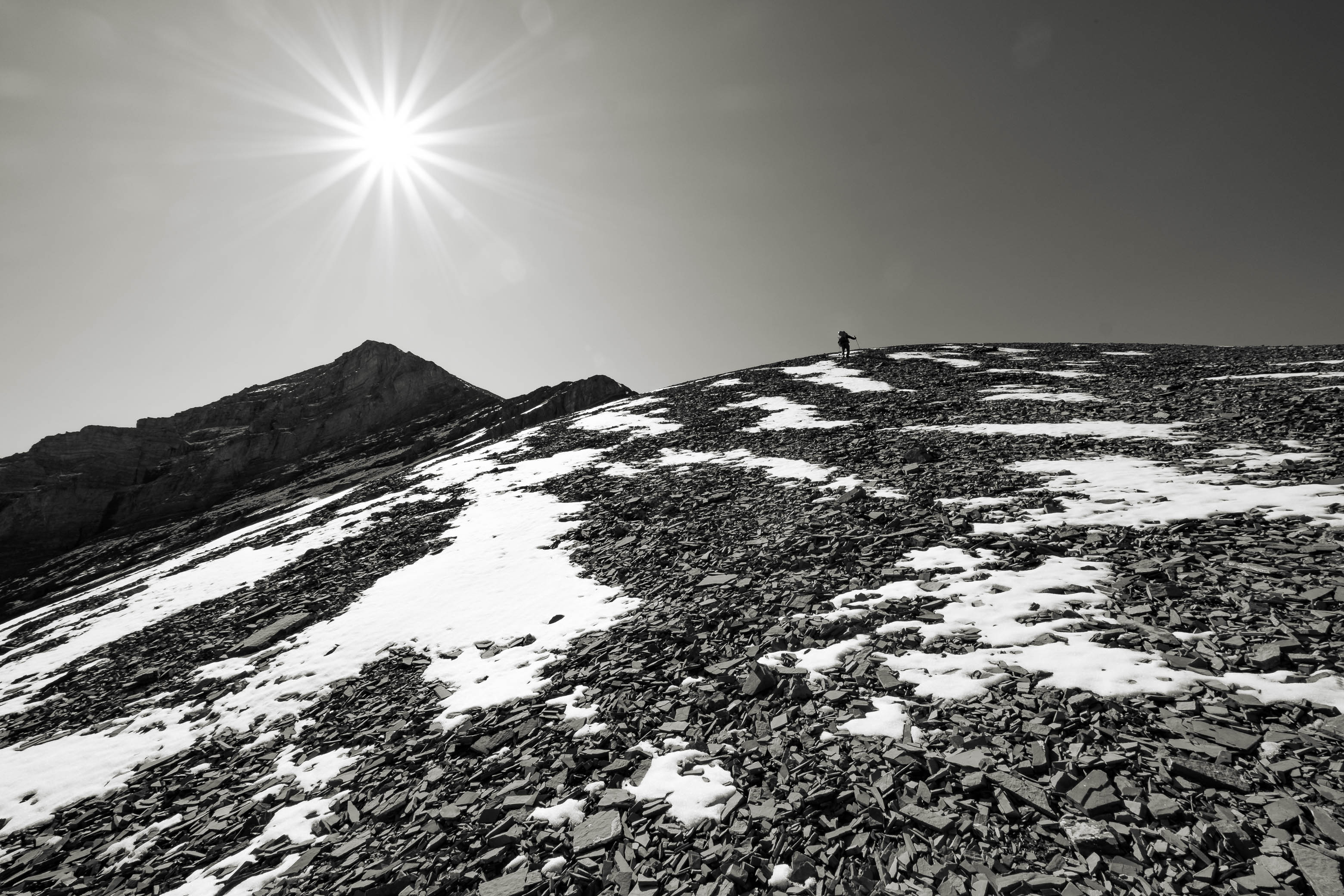
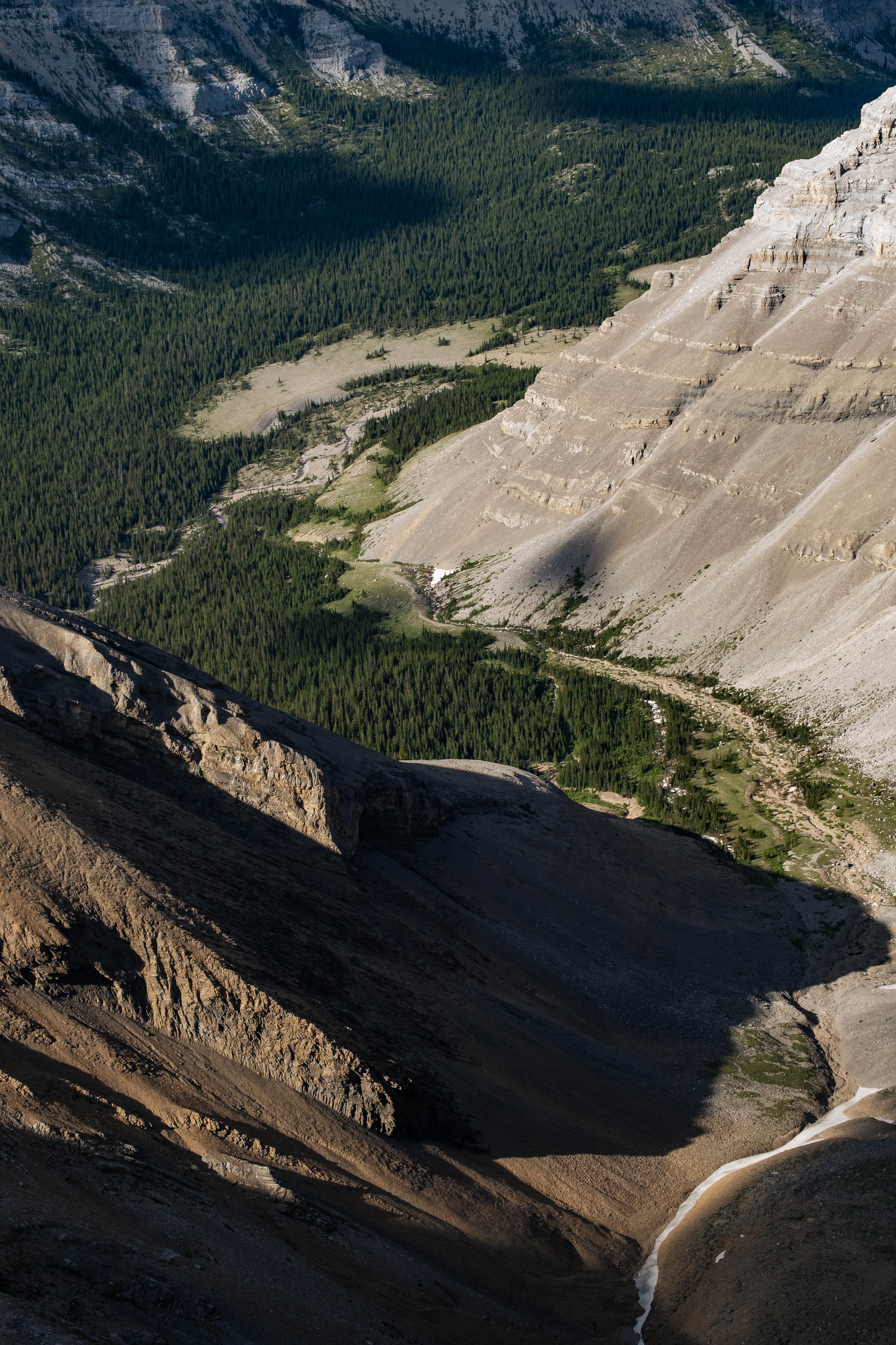
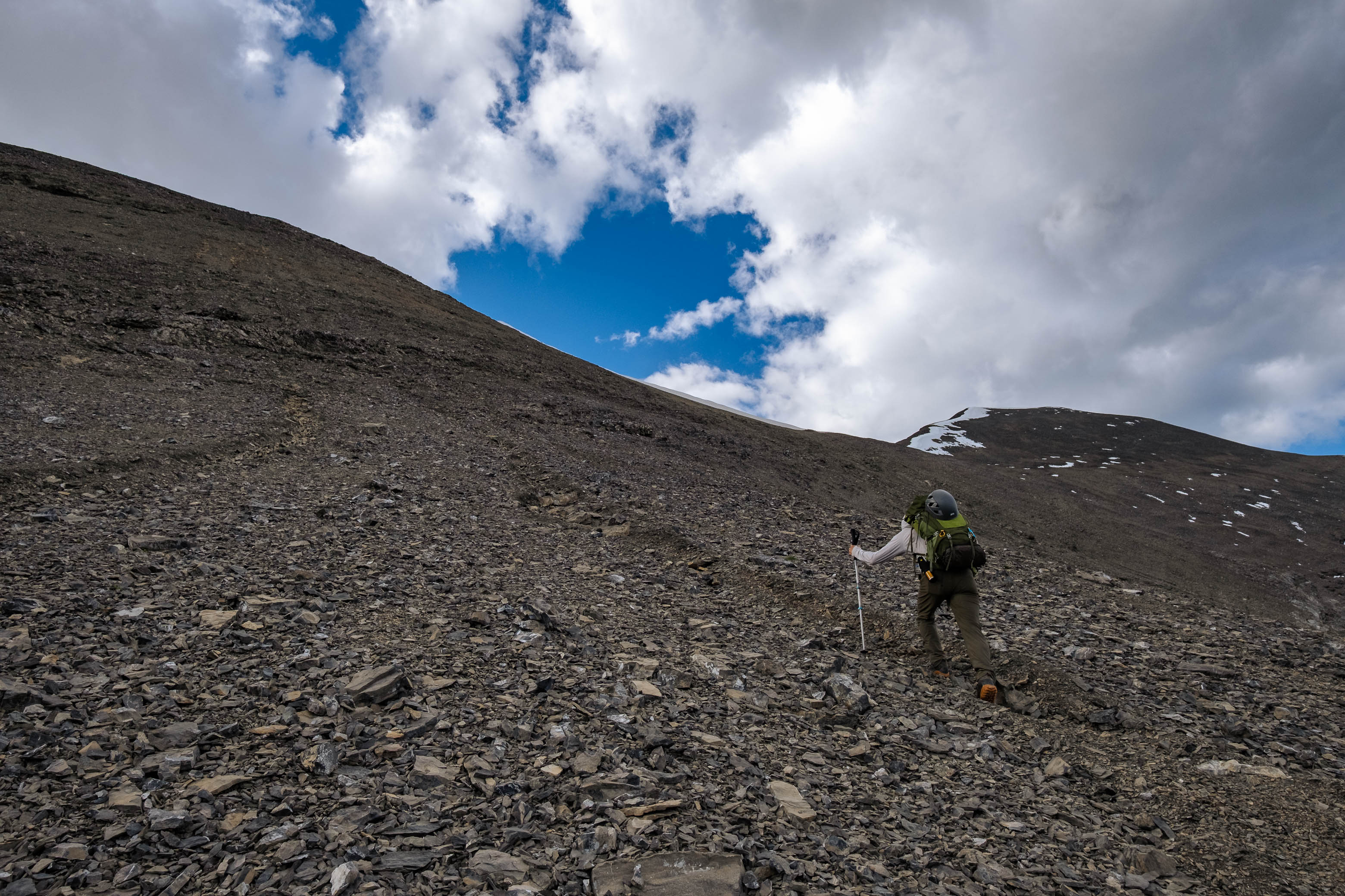
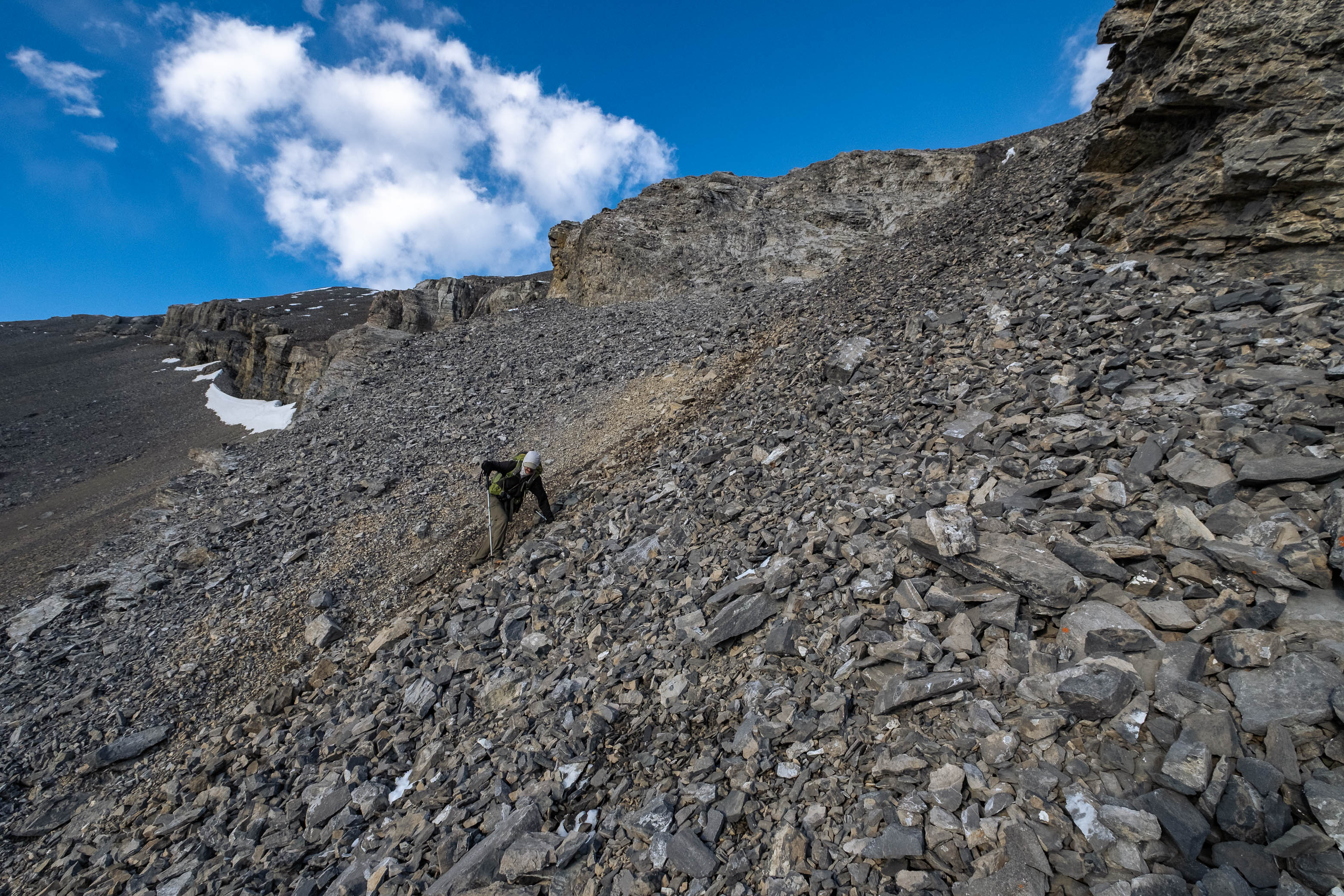
Upon arriving back at the low point between Outlaw and Banded, we had two options: reascend all the way back up n' over Outlaw and then easily join up with the descent bowl on the opposite side OR sidehill Outlaw's southern scree slopes, aiming for the high col between Outlaw and a smaller, unnamed peak to the south. With Vern's haunting words that the sidehilling "really, really sucked" stuck in my head, I seriously considered the former of the two options, but as I gazed up those 300 vertical meters of brutally steep, loose scree, I simply couldn't bring myself to do it...I guess sidehilling it is!
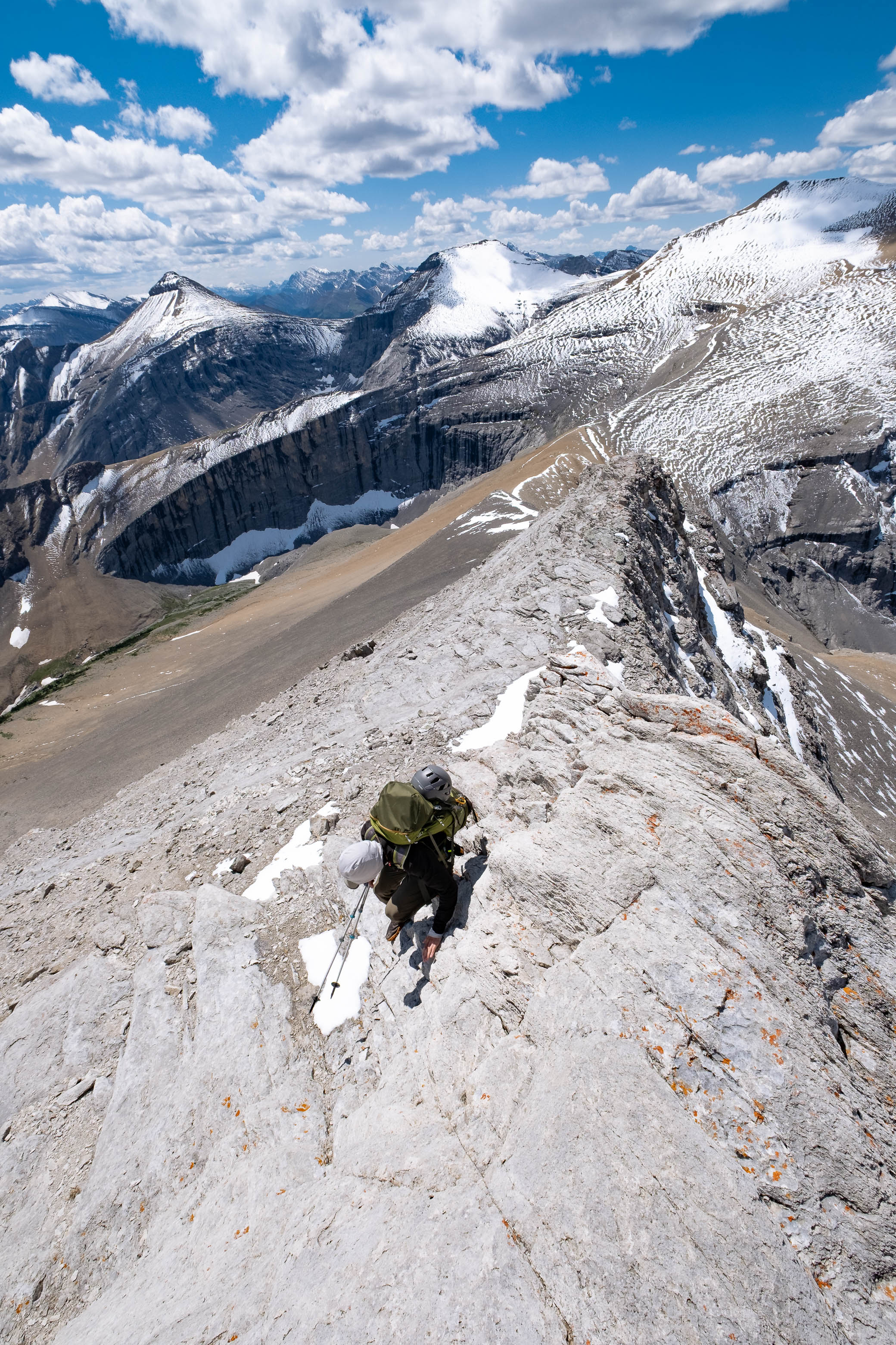
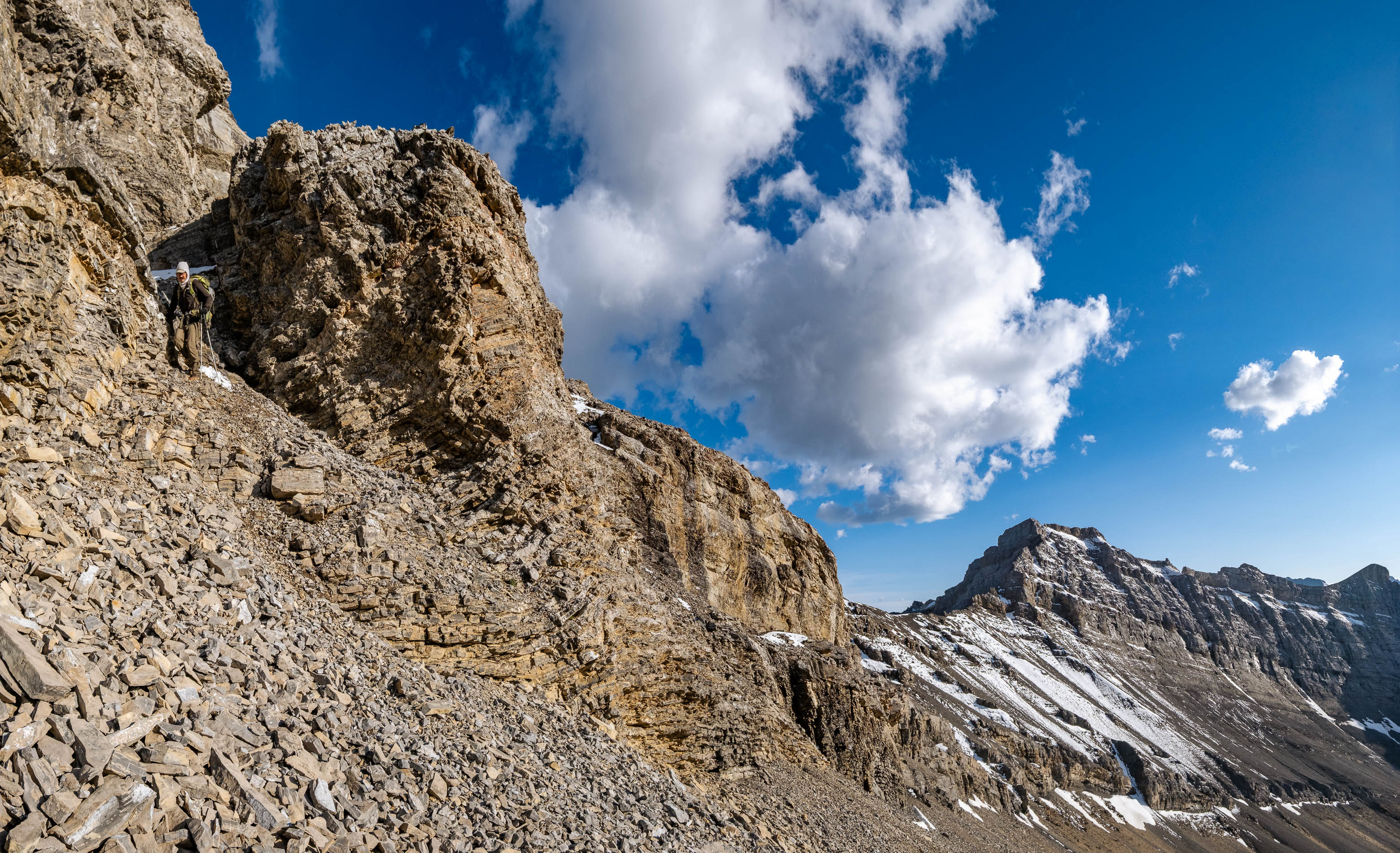
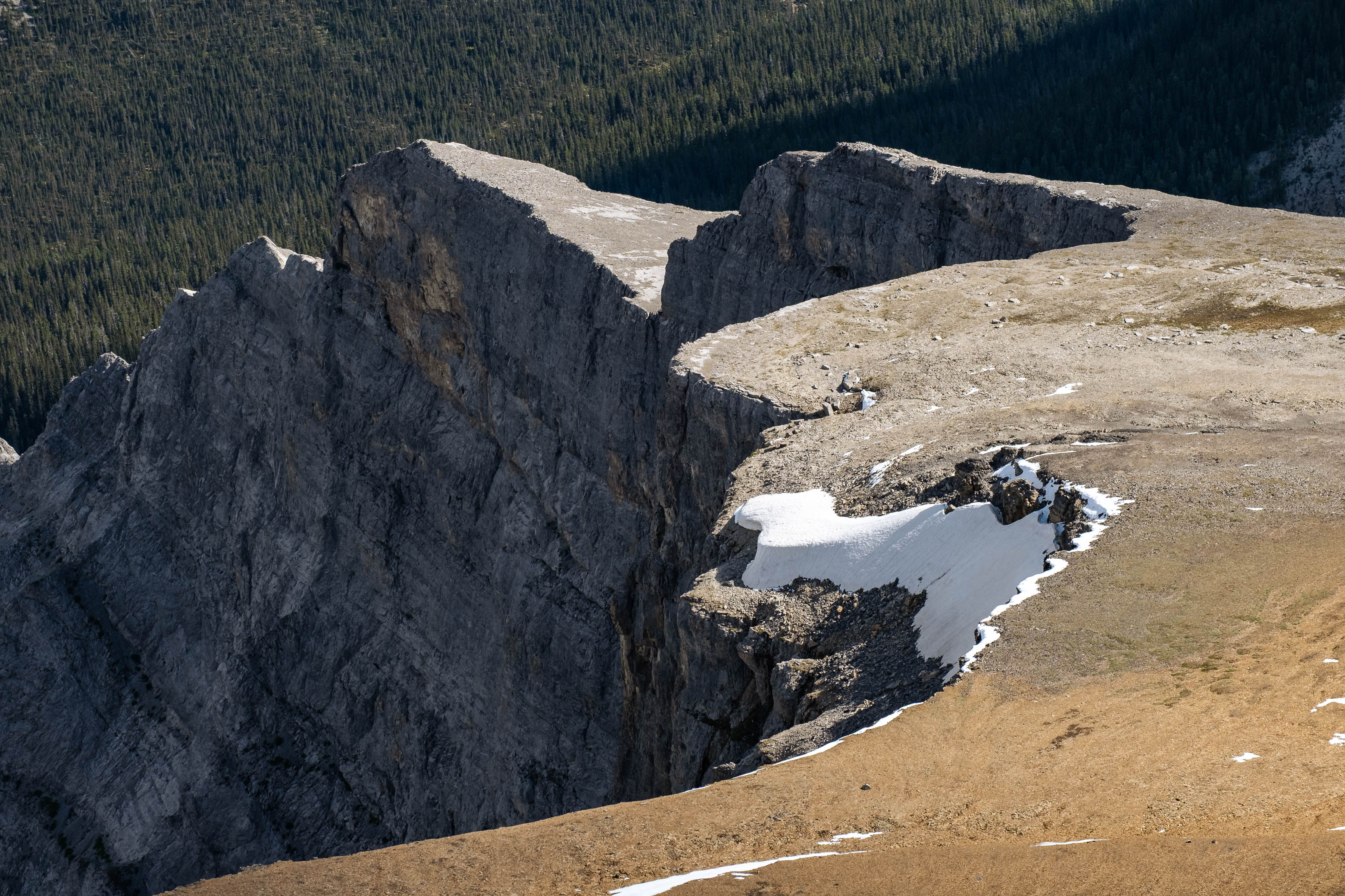
Vern's not wrong in his description here - this part does indeed "really, really suck" 😂 - but even so, I'd still vouch that this route is the lesser of the two evils! After about a kilometer of fighting to stay at a constant elevation - as the slope continued to slide out from beneath our feet - we reached a minor scree "rib" before the final traverse to the col. The ridge directly above us looked closer than the col (still multiple hundred meters of sidehilling to our left), and since the route down the bowl that we picked out earlier started further up the ridge anyway, it was a no-brainer to kiss the sidehilling goodbye, and make one last grueling climb.
This decision turned out to be the right one, taking us to the exact place we wanted to be, but now came the hard part...Remember what I said about taking a picture earlier? Well this is where it will come in handy! A series of narrow scree chutes lay before us, lined up one after the other, each one barely distinguishable from the next. We desperately tried to picture the route we'd picked out a few hours earlier, but without a picture for reference, it was like playing a game of Russian Roulette, randomly picking a chute and just hoping we didn't get cliffed out!
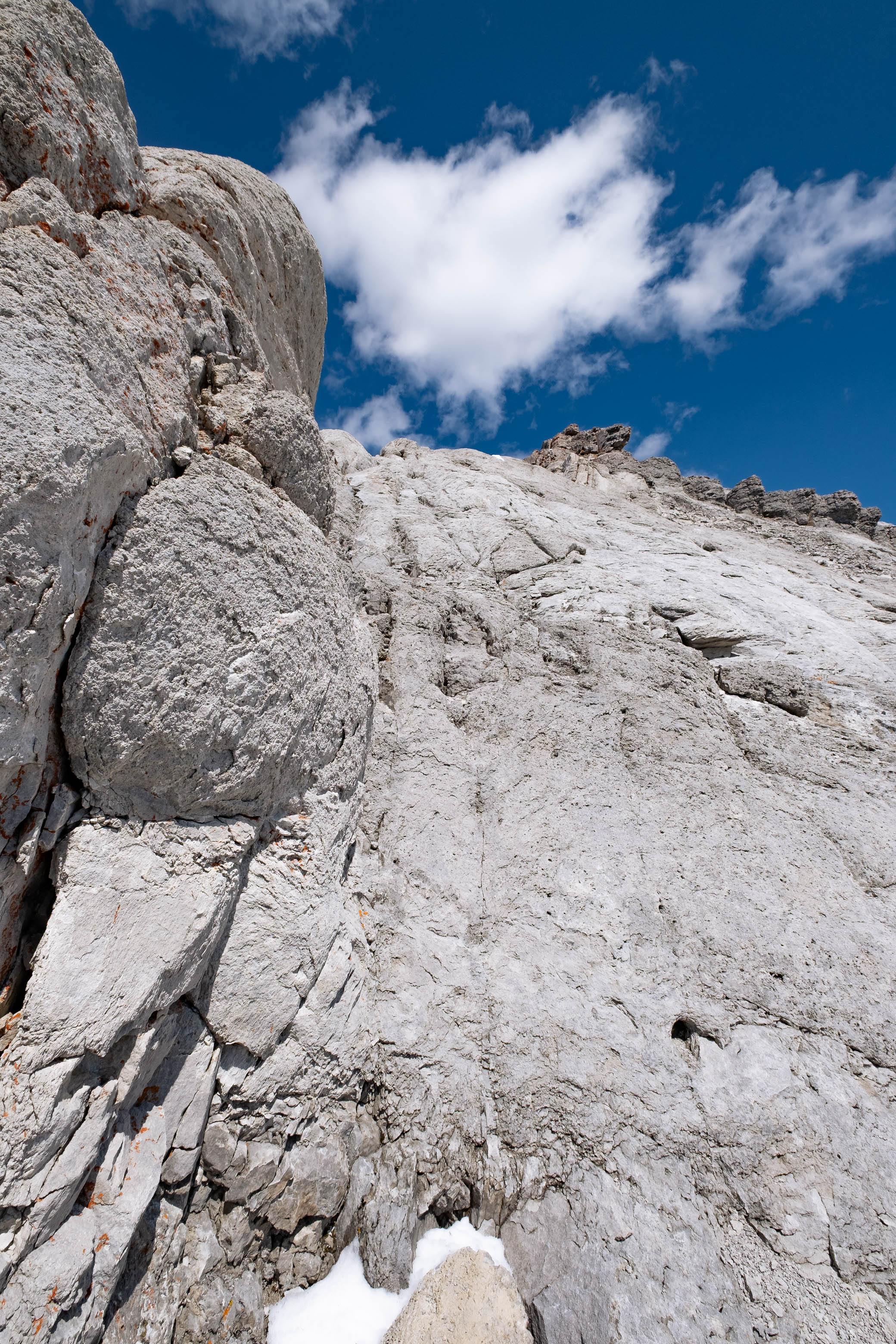
Unfortunately we missed on our first guess, but by standing at the edge of the cliff, halfway down this chute, we were able to gain a better grasp on where exactly we were, allowing us to make a more educated guess for our second attempt. Lucky for us, a second attempt was all we would need, but this chute (two left from our first try), was not without its share of excitement! The rock in these chutes is extremely unstable, and just as I was traversing directly above the cliff band to access a narrow scree weakness, I heard my dad yell, "WATCH OUT!", and I instinctively scrambled/ran to the side just as a rockslide ripped through, sending boulders (one the size of a couple microwave ovens!) cascading over the cliffs and tumbling down the bowl below!
Once the rock slide finally came to an end, we gingerly completed our descent, making nervous glances back up to the cliffs until we were well out of their "fire zone".
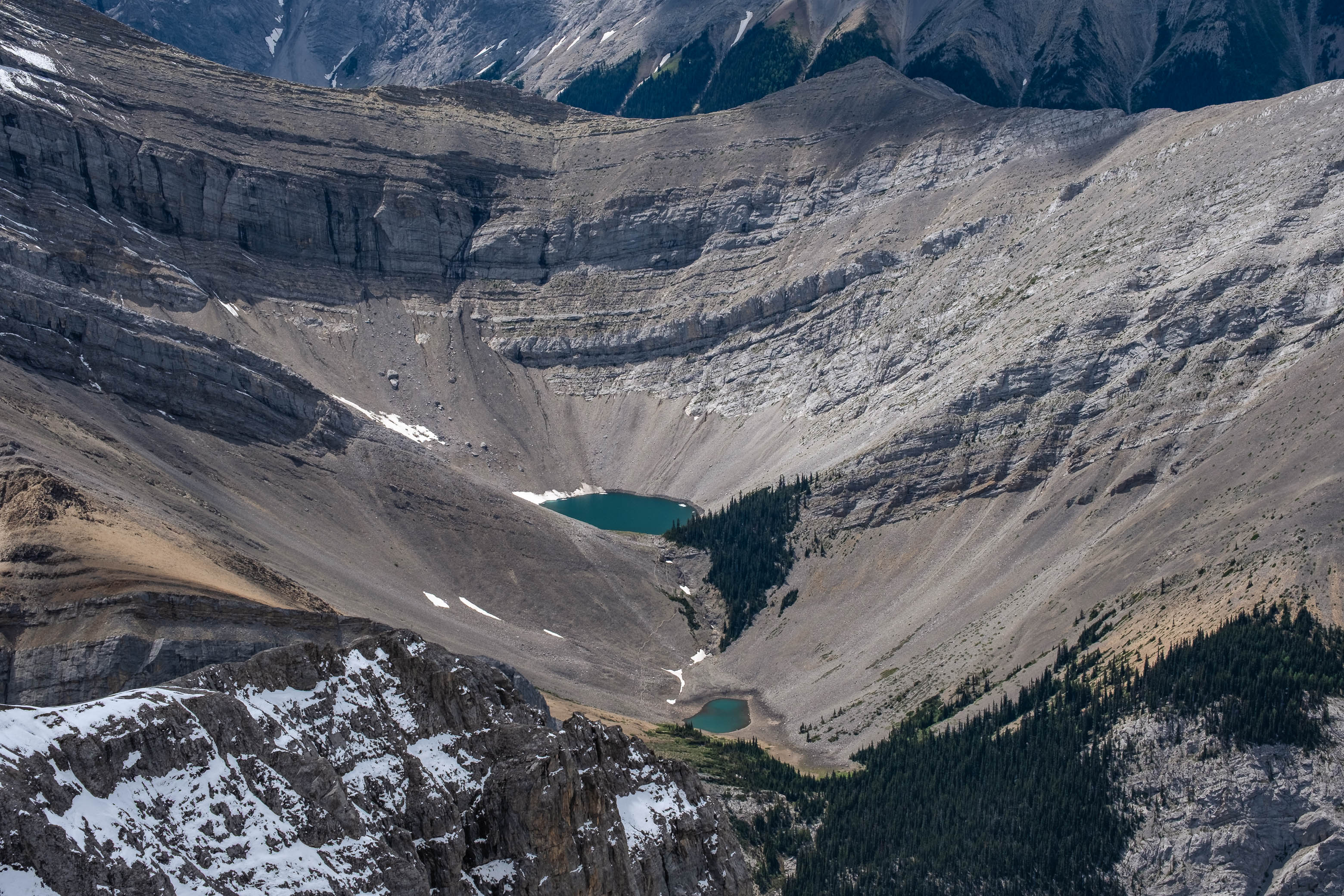
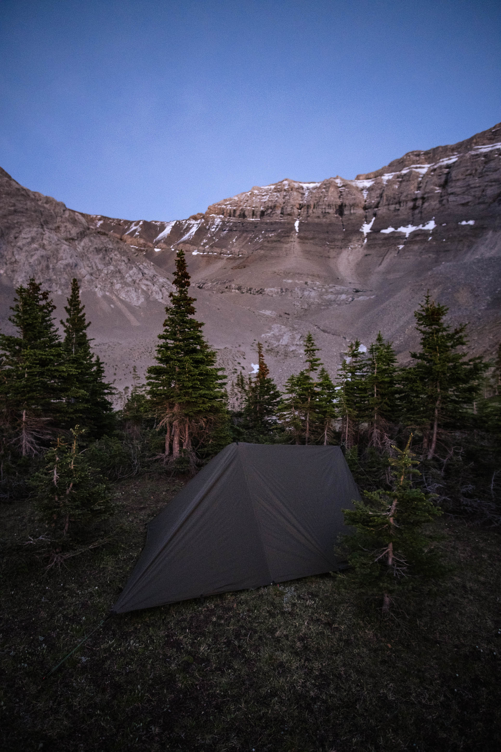
My original plan was to get within a couple kilometers of the Little Elbow River and Romulus Backcountry Campsite before looking for a good bivy spot to spend the night, but as we rounded the first corner of the descent drainage the most perfect camp spot - a beautiful, raised, flat grassy meadow - appeared right in front of us! And while the location wasn't exactly what we had in mind, every other aspect was simply too good to pass up!
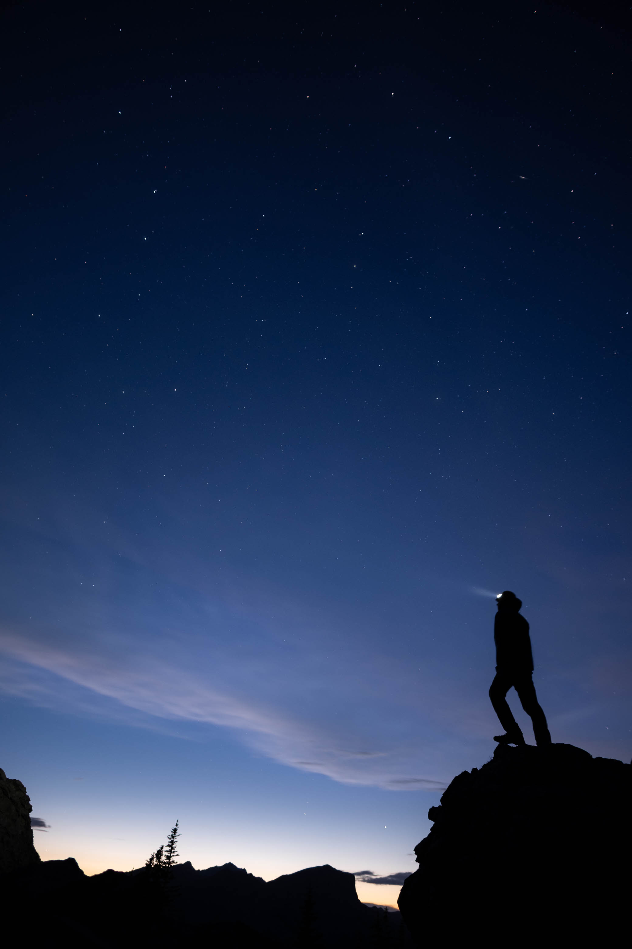
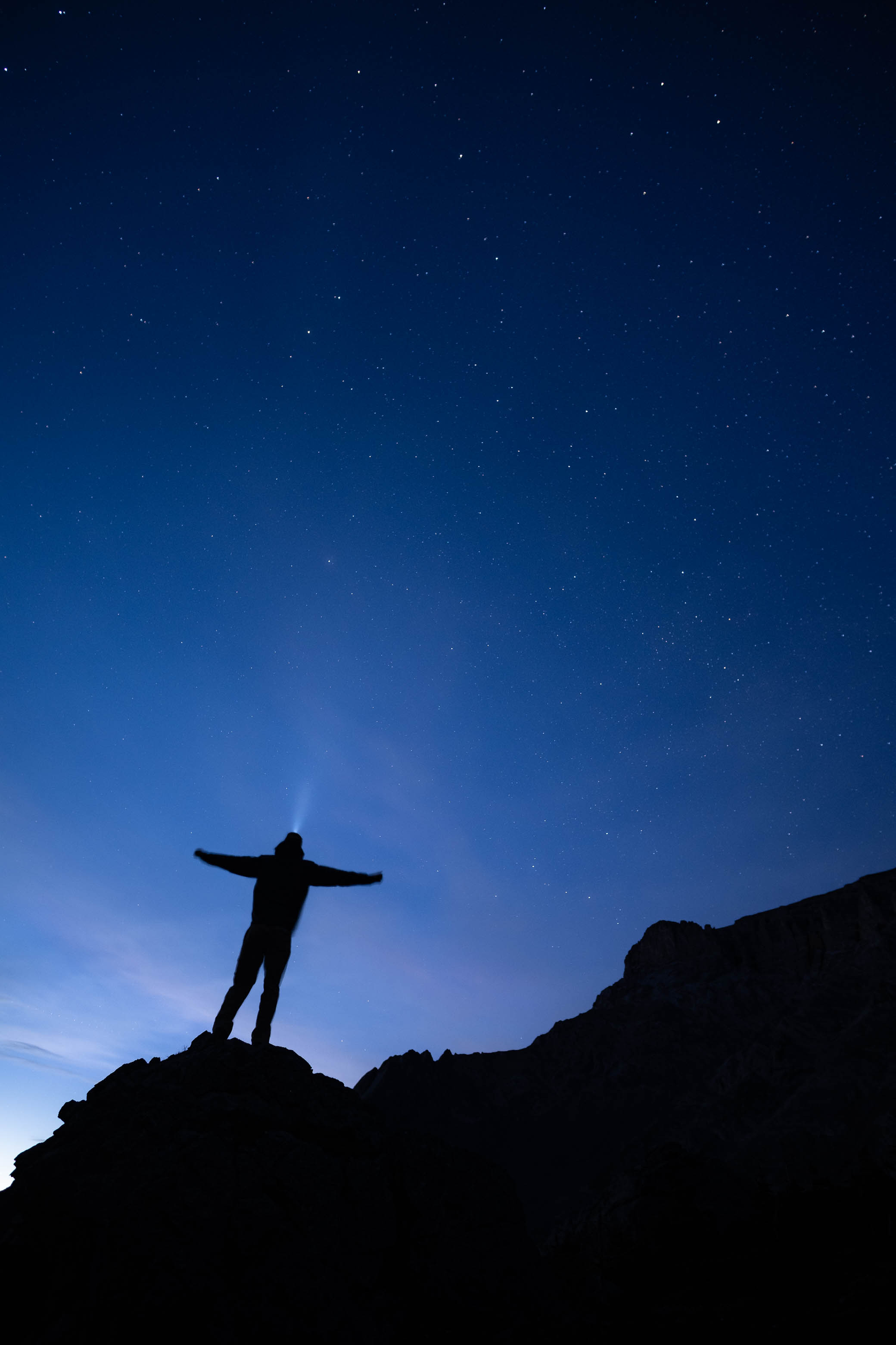
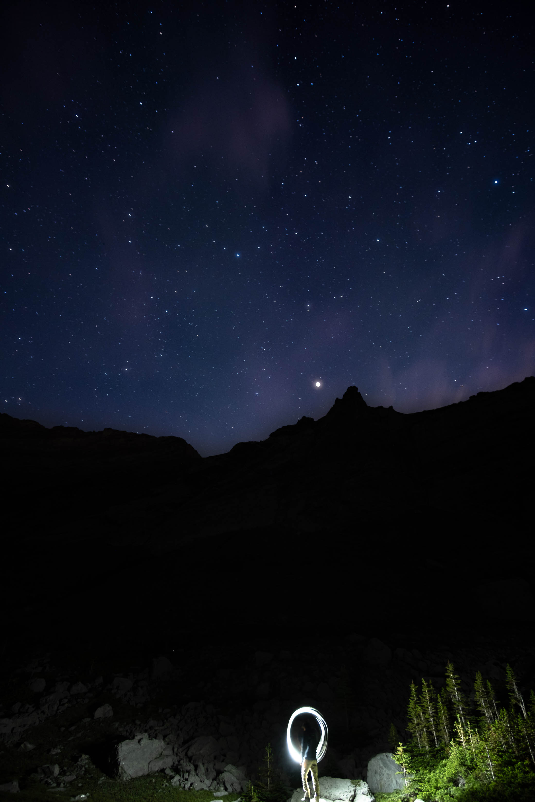
After enjoying some hard earned crushed corn chips and dried fruit, we hung our food from a massive boulder, set up our tarp, and hunkered down for some much needed rest...Or should I say, hunkered down behind my camera to take astro for a couple more hours! 😂 If only I had that same level of energy when I woke up the next morning...
Photo Gallery
Disclaimer