Date: June 24, 2023
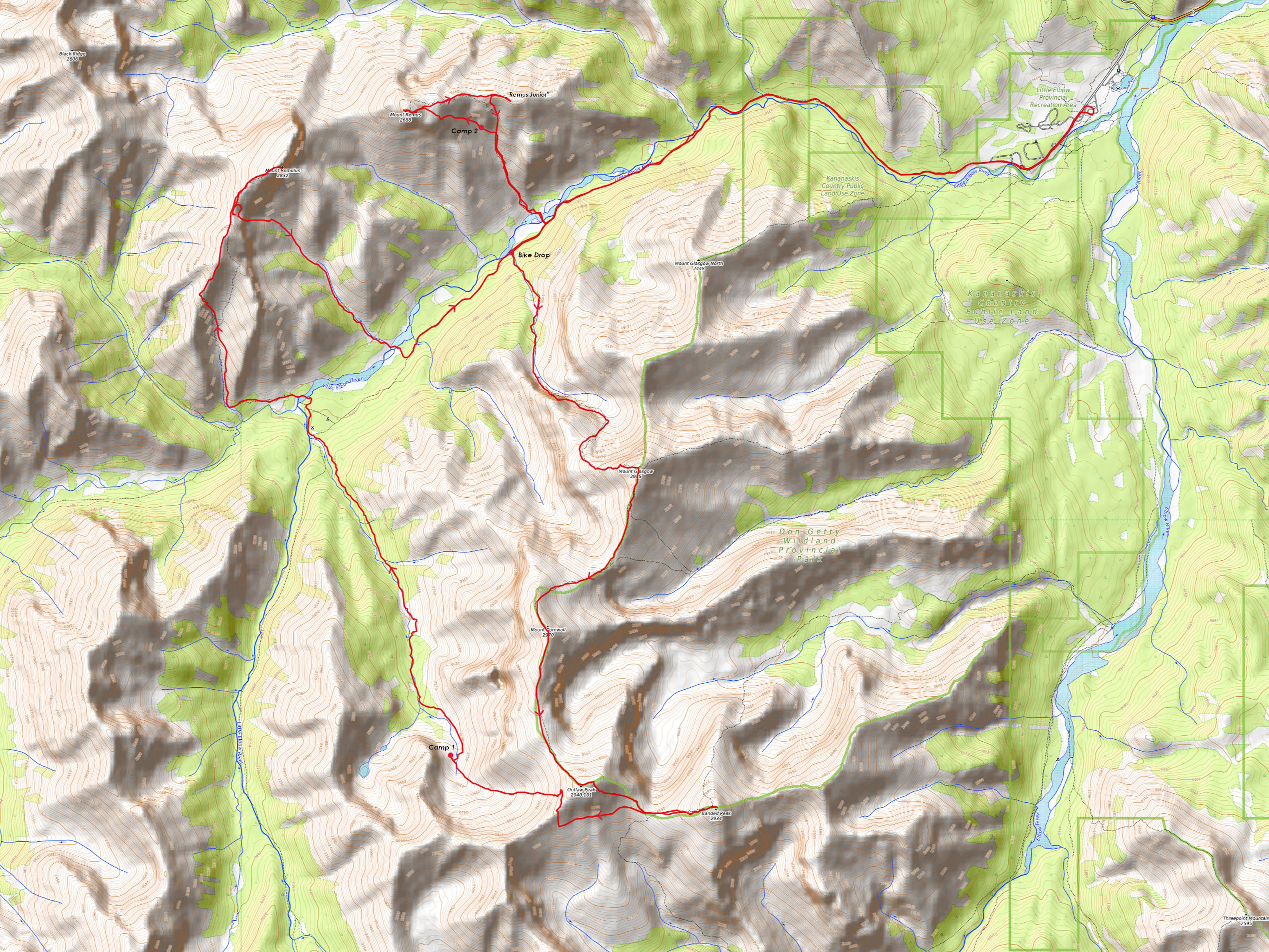
Location/Route Map: Elbow Valley
Elevation: 2832 m
Elevation Gain: 1280 m
Distance: 17 km (from camp in Outlaw's NW descent valley, to summit, to Little Elbow crossing below Mount Remus)
Rating: Class 3 - Moderate
Notes: A couple moderate steps on the SW ridge help to break up what is otherwise a long, easy scree trudge. Making a loop with Bill Kerr's shortcut adds some variety and goes as class 3 if dry.
GPS Track: Download
Waking up to my dad already leaving our tarp shelter before 5am, I groggily rolled over, stuffed my face into my pillow, and lay there for a few more minutes before finally forcing myself to follow. I'd only gotten about four hours of sleep after a 24 km day with 2500 m of gain, completing the Glasgow to Banded Traverse with a heavy backpacking bag, and I was FEELING it! I suppose I only had myself to blame after running around taking pictures of the stars all night...Anyway, although I really, really, really, really didn't want to get up, we hadn't made it as far as I'd hoped the previous day (we couldn't bring ourselves to pass up an absolutely perfect bivy site) and therefore had another sizable day ahead of us (i.e. I didn't really have a choice)! For Day 2 of our random camping trip up the Little Elbow River, my dad and I had our sights set on Mount Romulus, the impressive mountain rising directly across the river from the Romulus Backcountry Campground - notable due to the 300 m wall of vertical rock guarding its summit to the southeast. And while this wall might make this peak look pretty daunting and inaccessible, the southwestern ridge provides a straightforward route to the top, with a couple alternative routes avaliable to add some variety on descent!
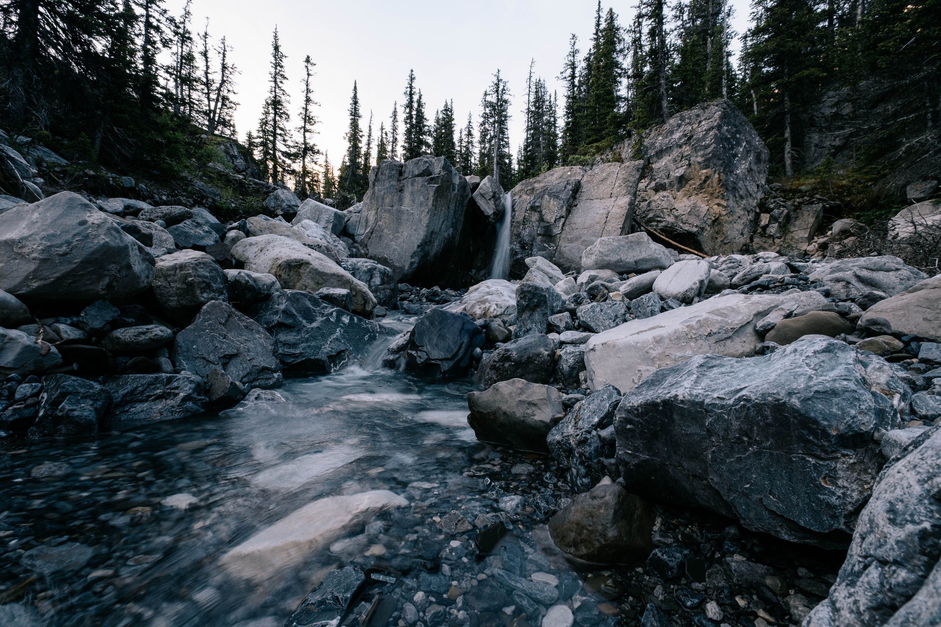
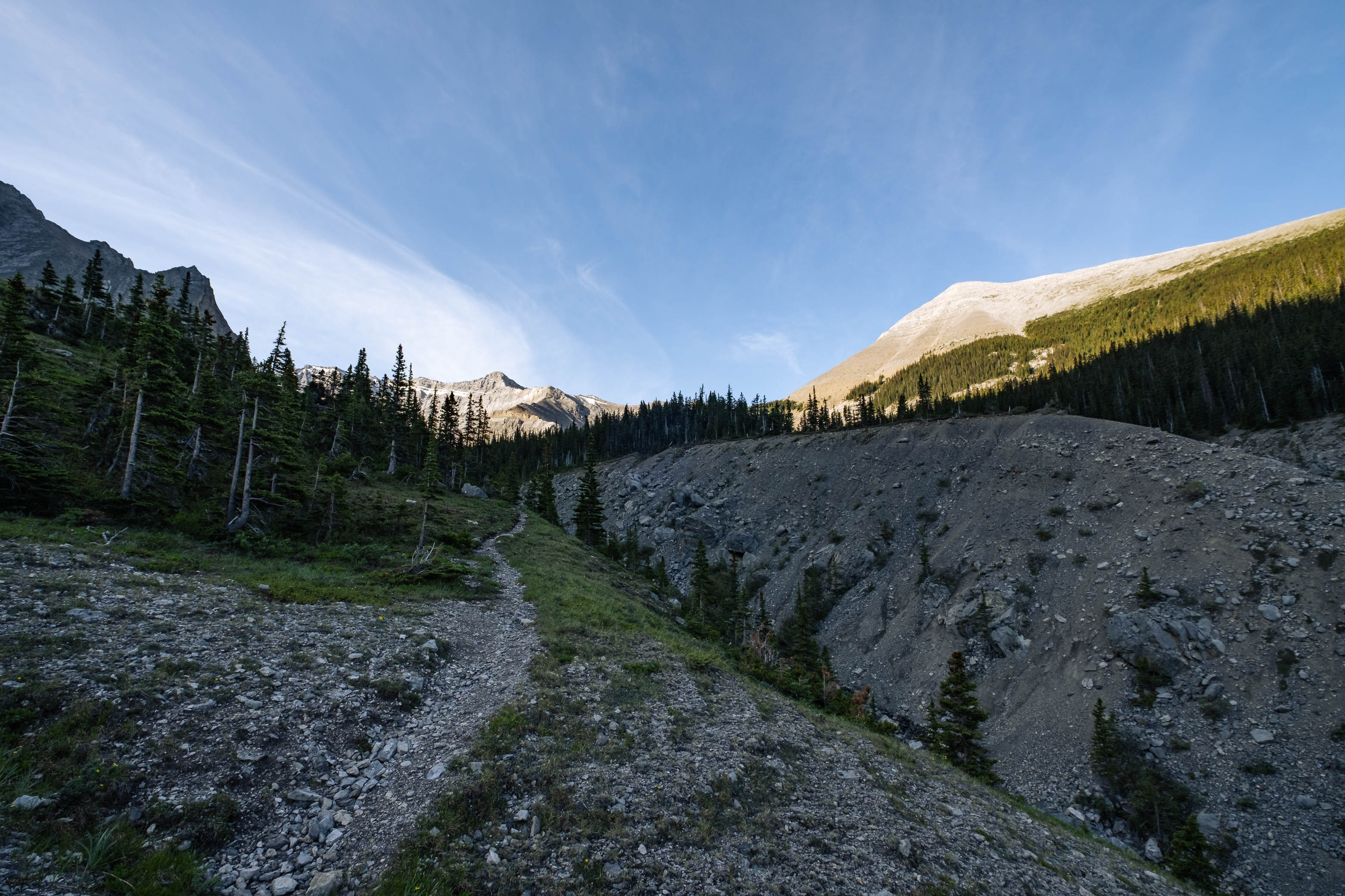
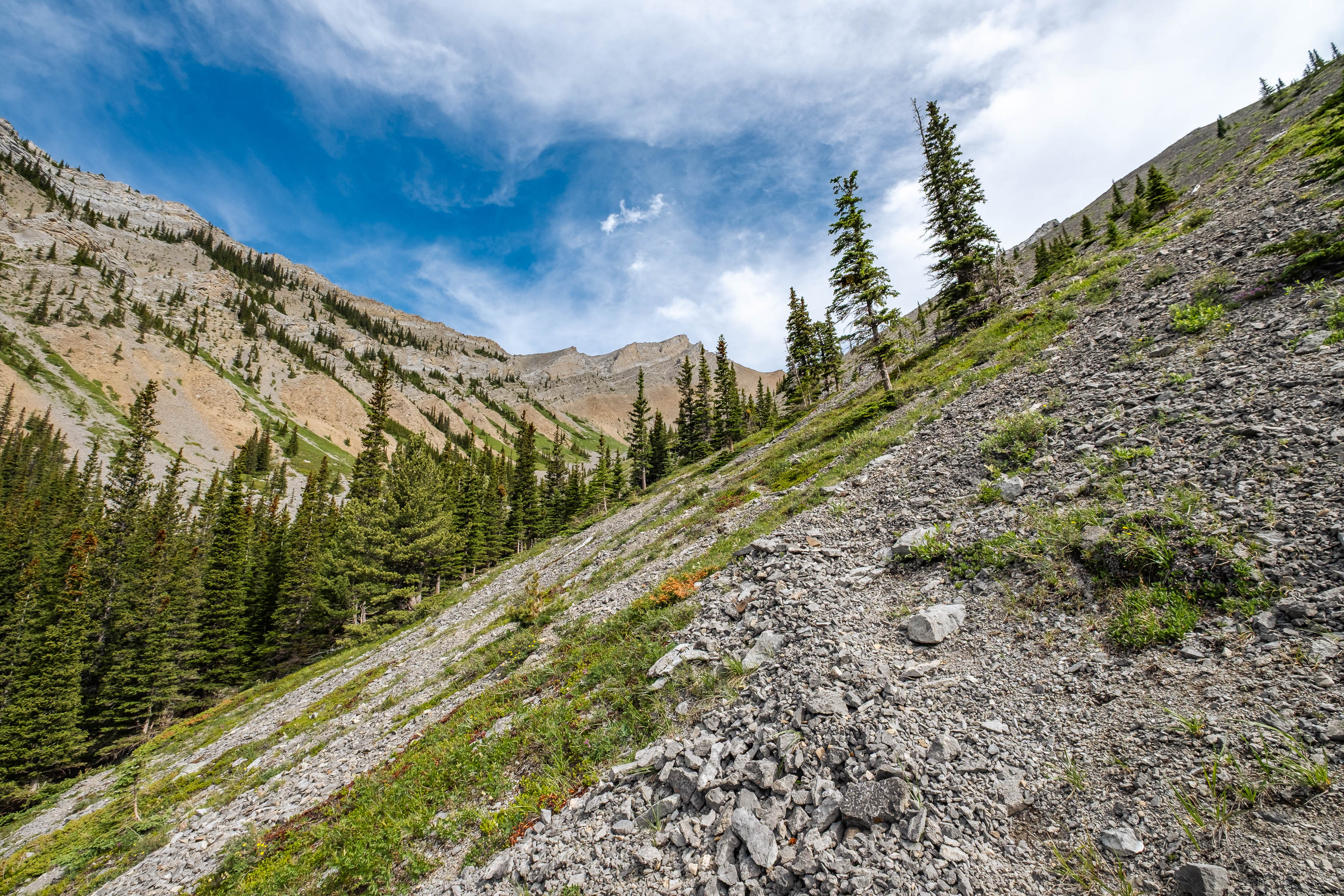
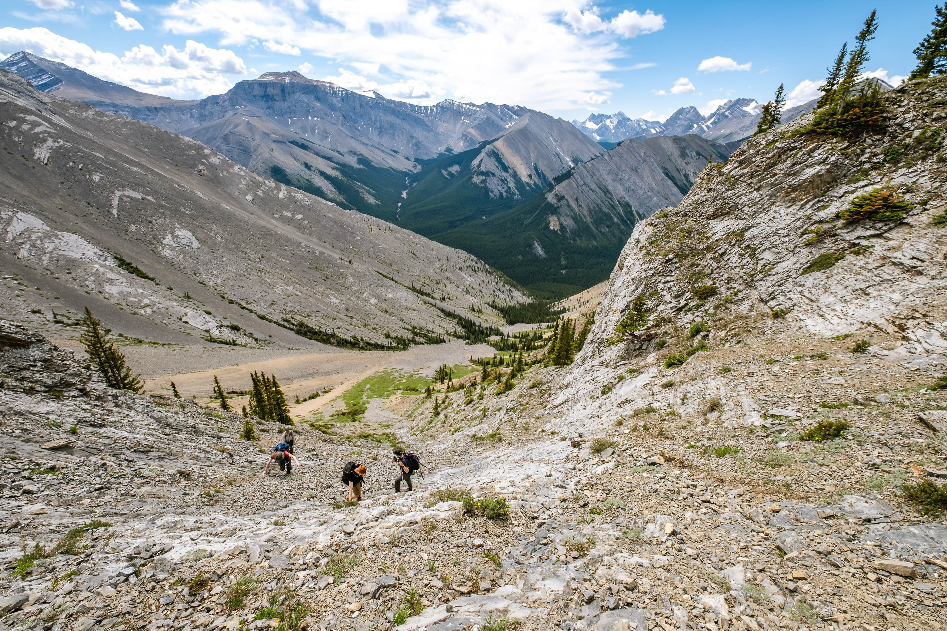
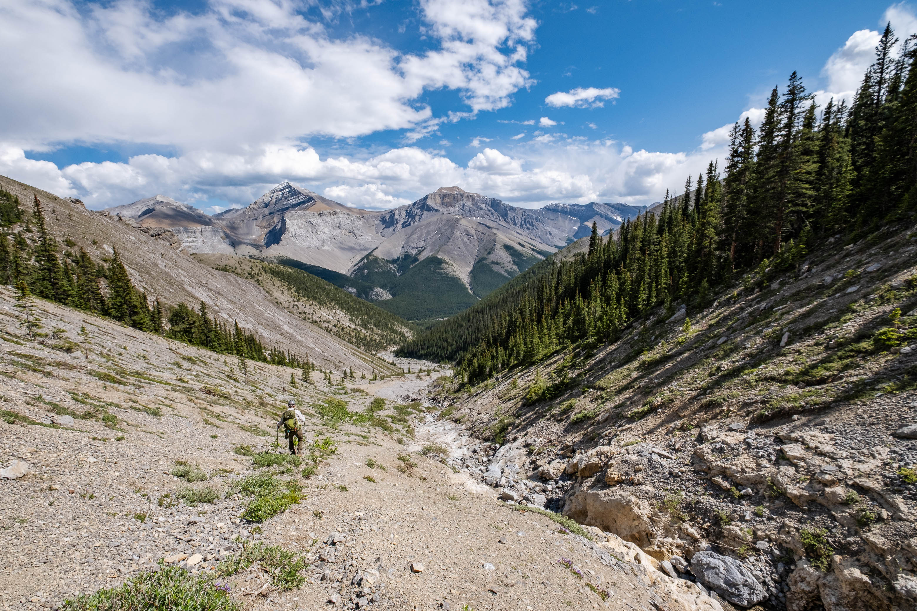
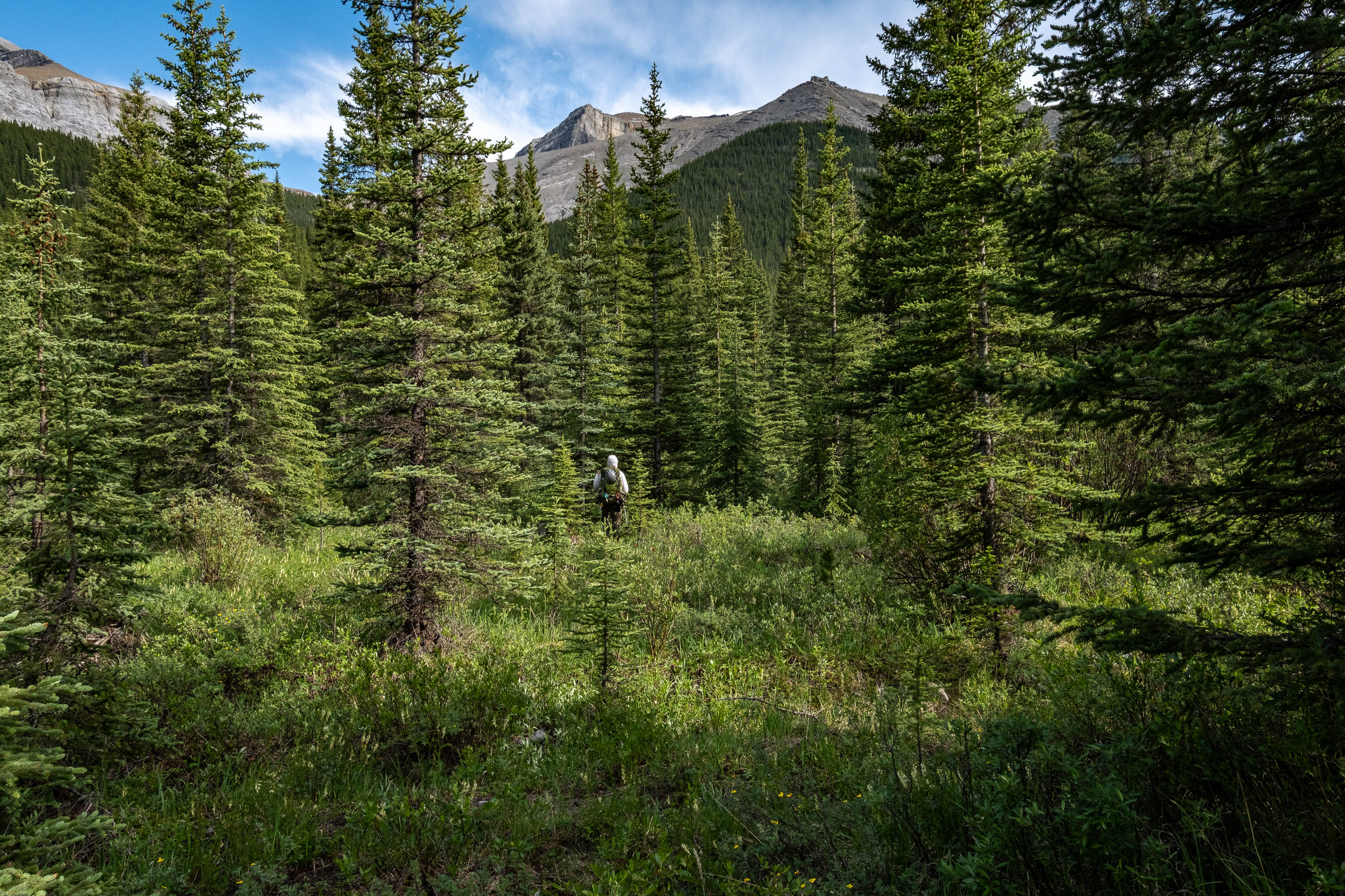
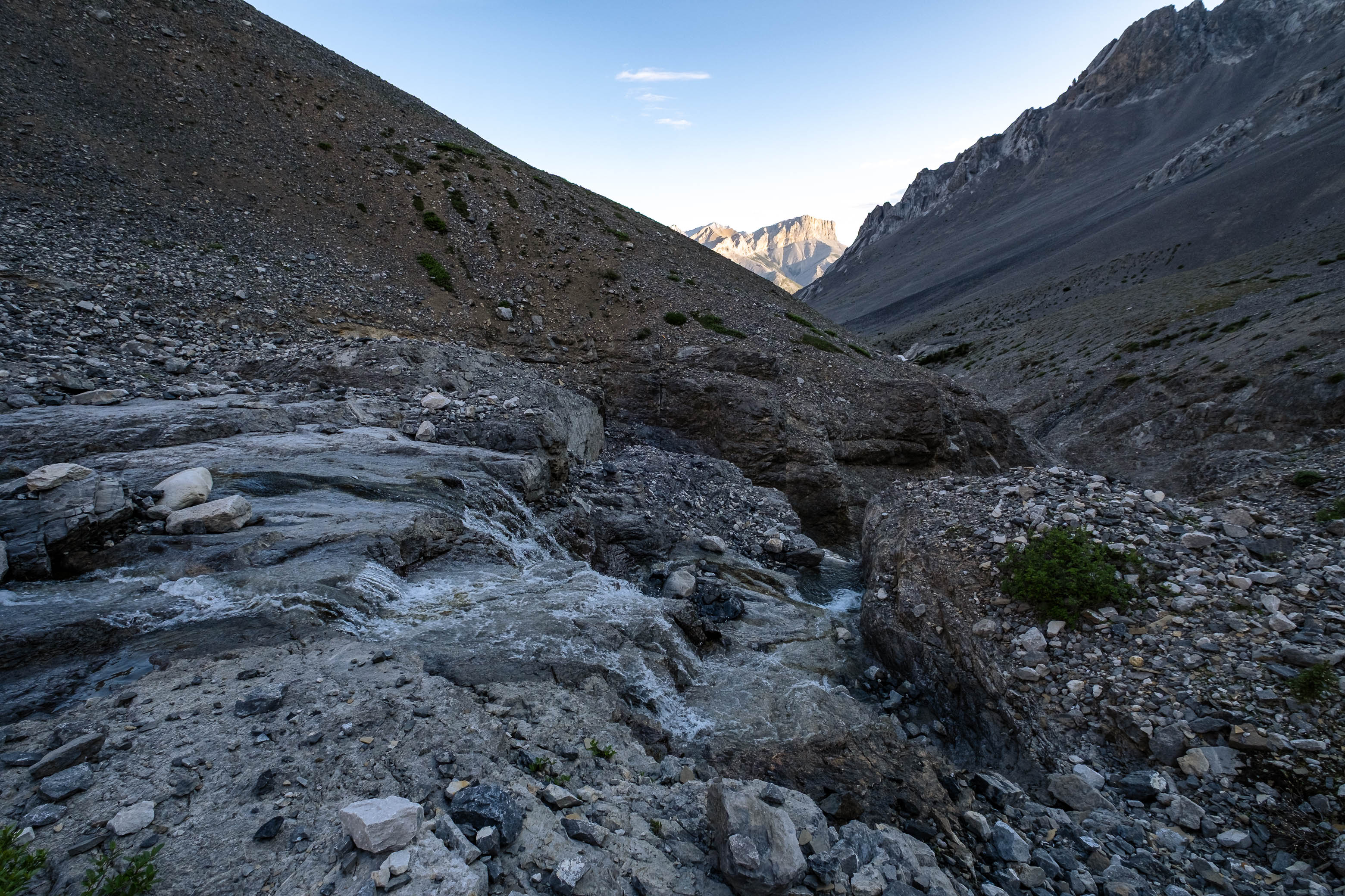
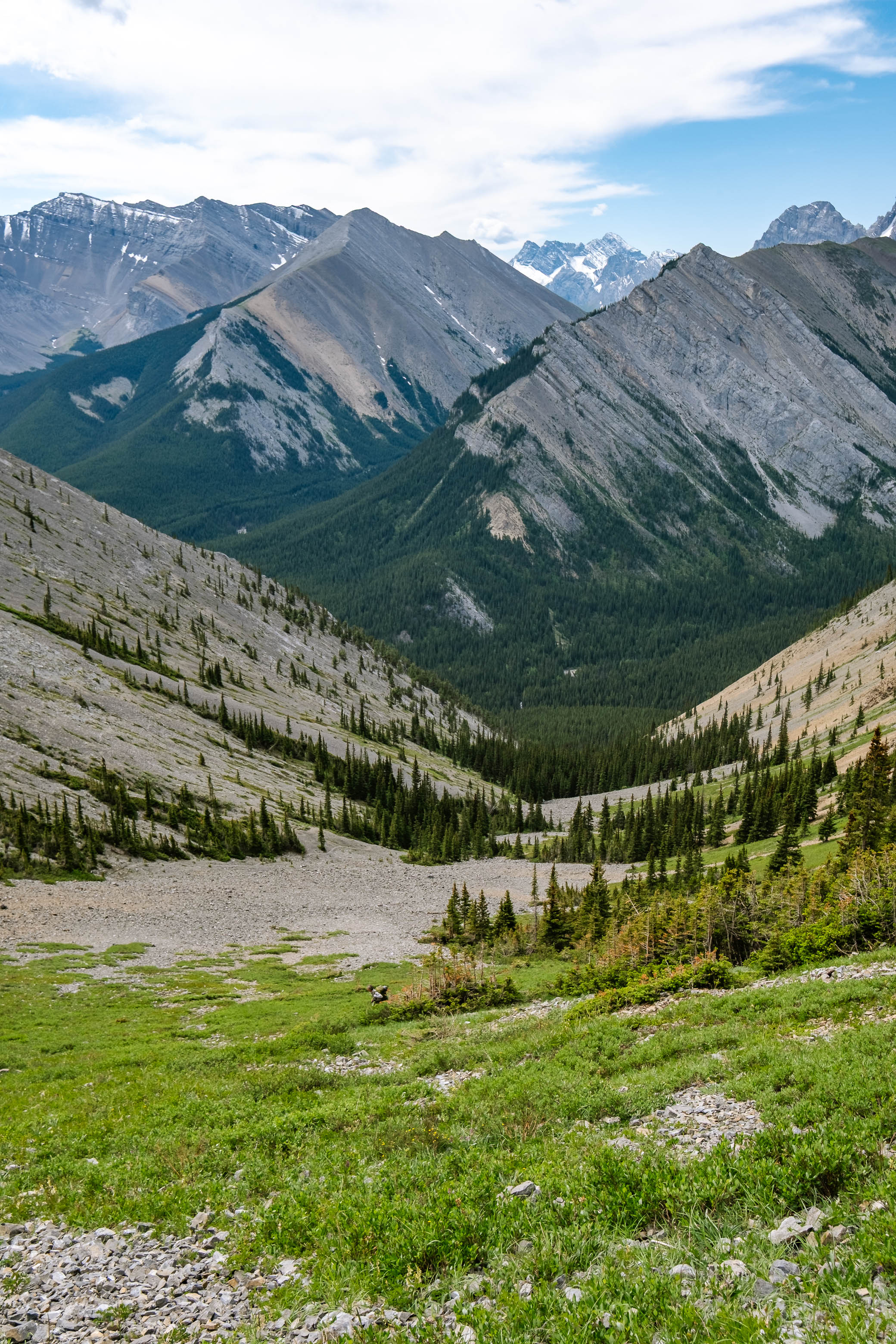
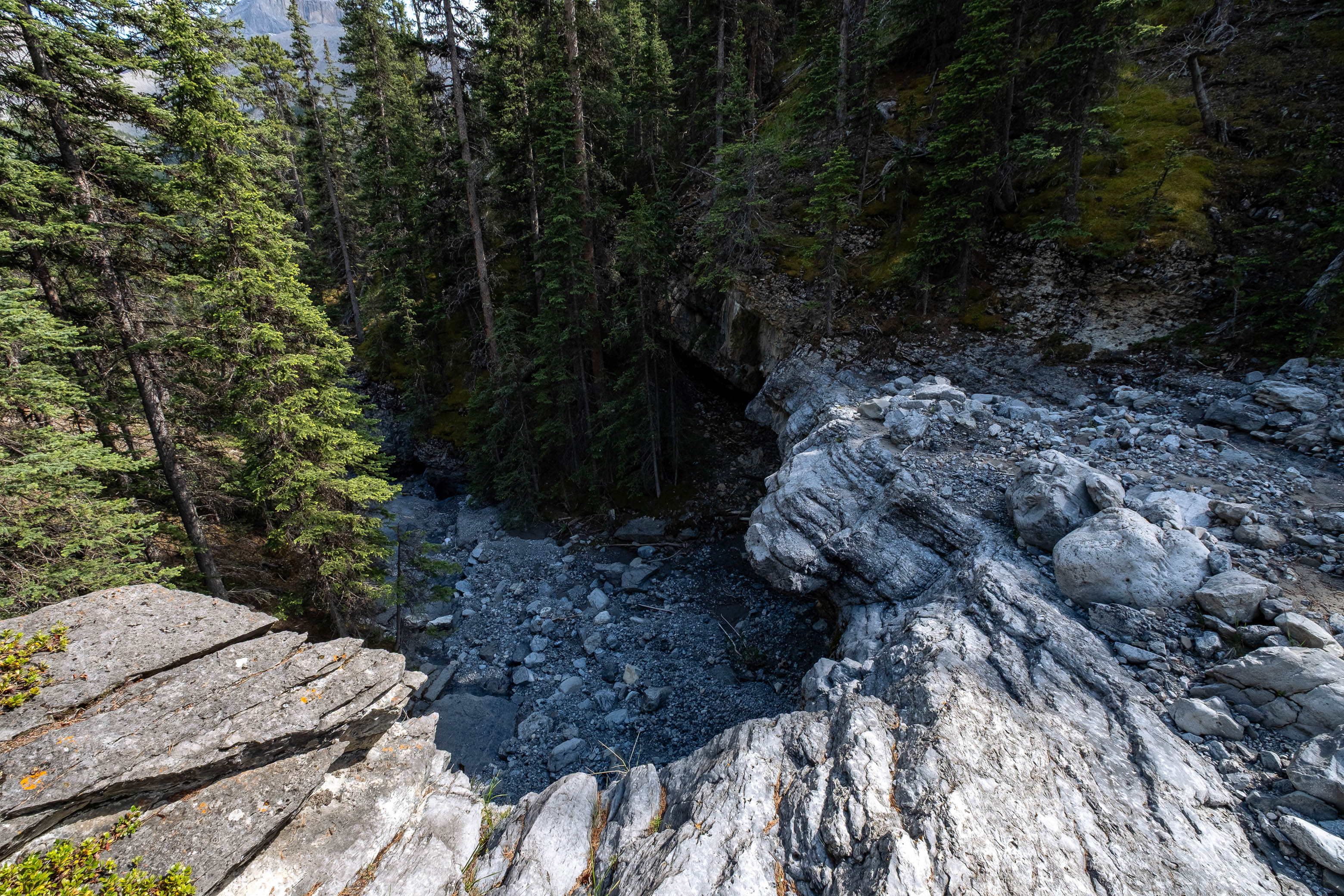
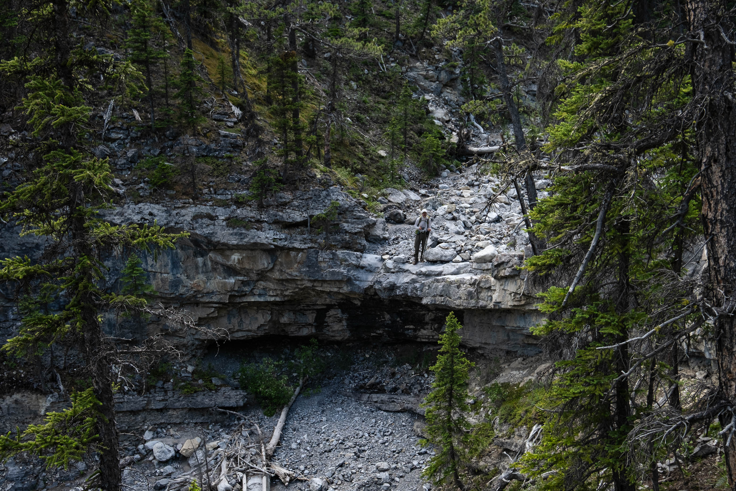
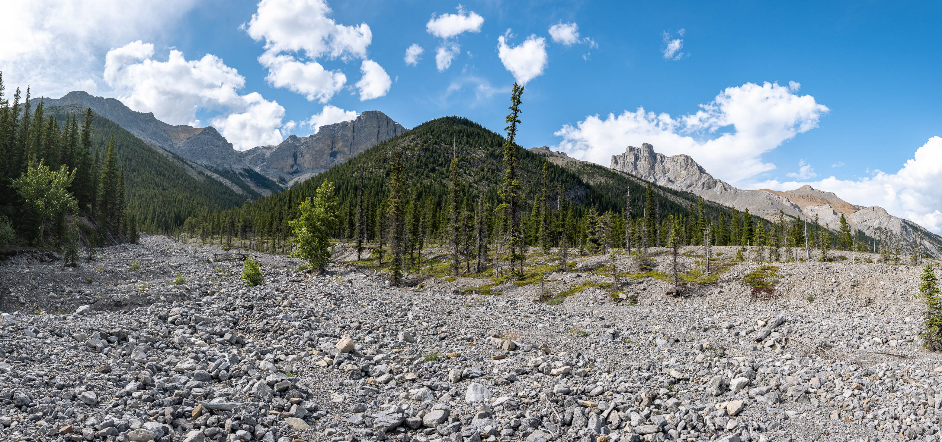
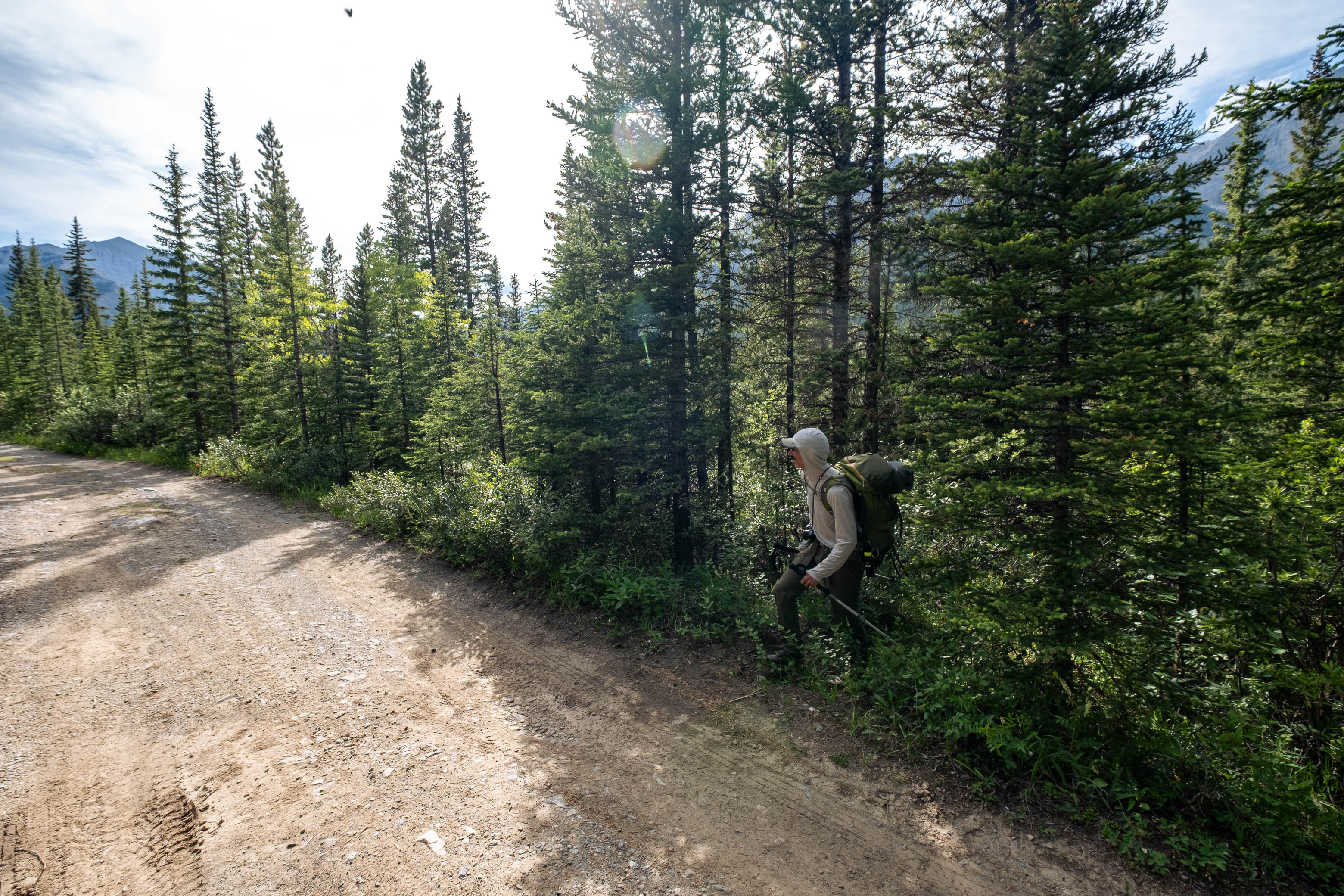
After packing up camp, we set off from our lovely bivy plateau and picked up where we left off the previous evening - hiking down Outlaw's long NW descent valley. A mere couple minutes after leaving camp, the drainage cliffed out at the edge of a waterfall, but luckily this obstacle is easily circumvented by sidehilling scree on its right (eastern) side. Here we discovered a decent goat trail traversing the hillside, which we gladly followed until it eventually petered out and we bushwhacked down a minor stream to join back up with the main drainage.
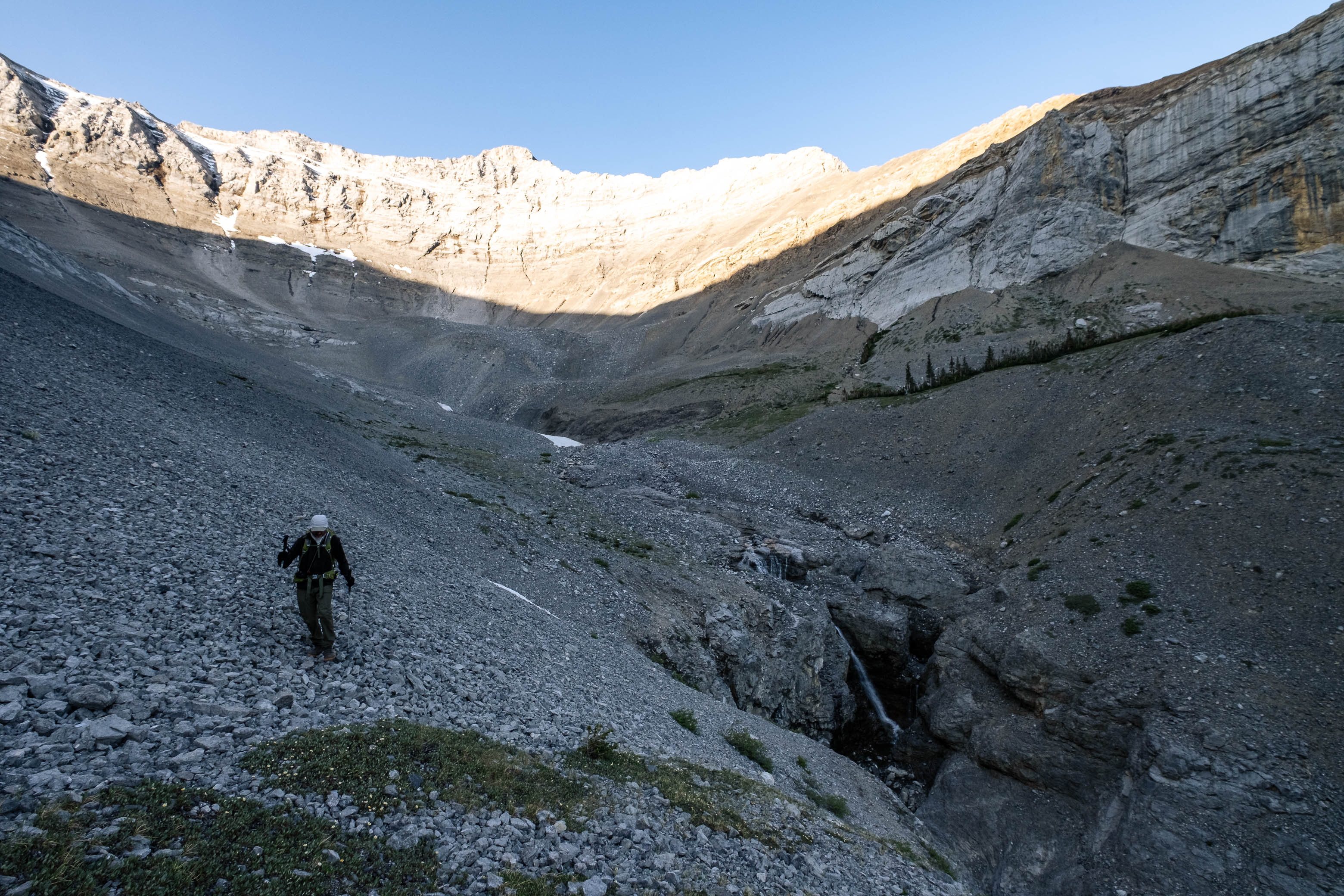
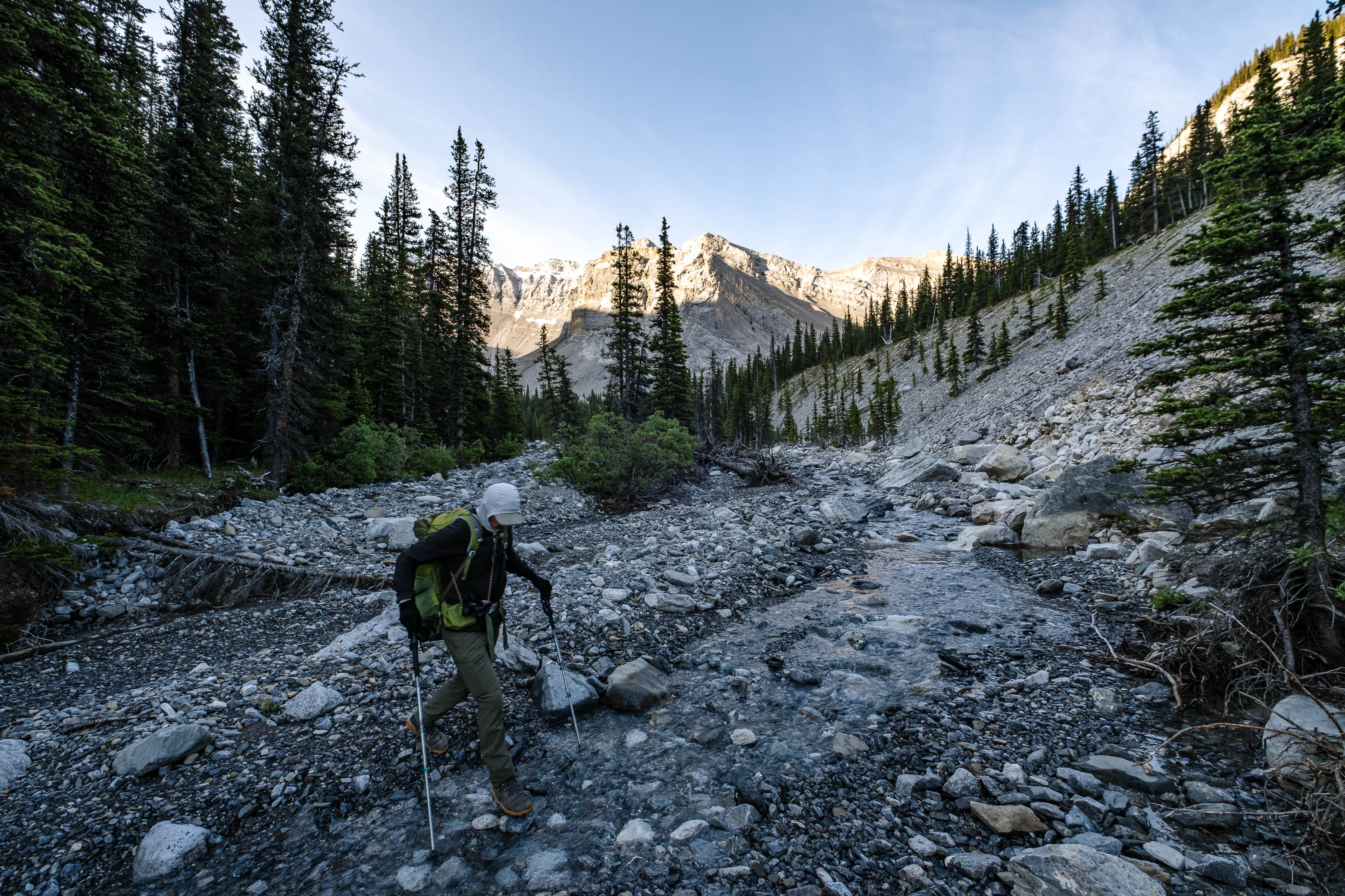
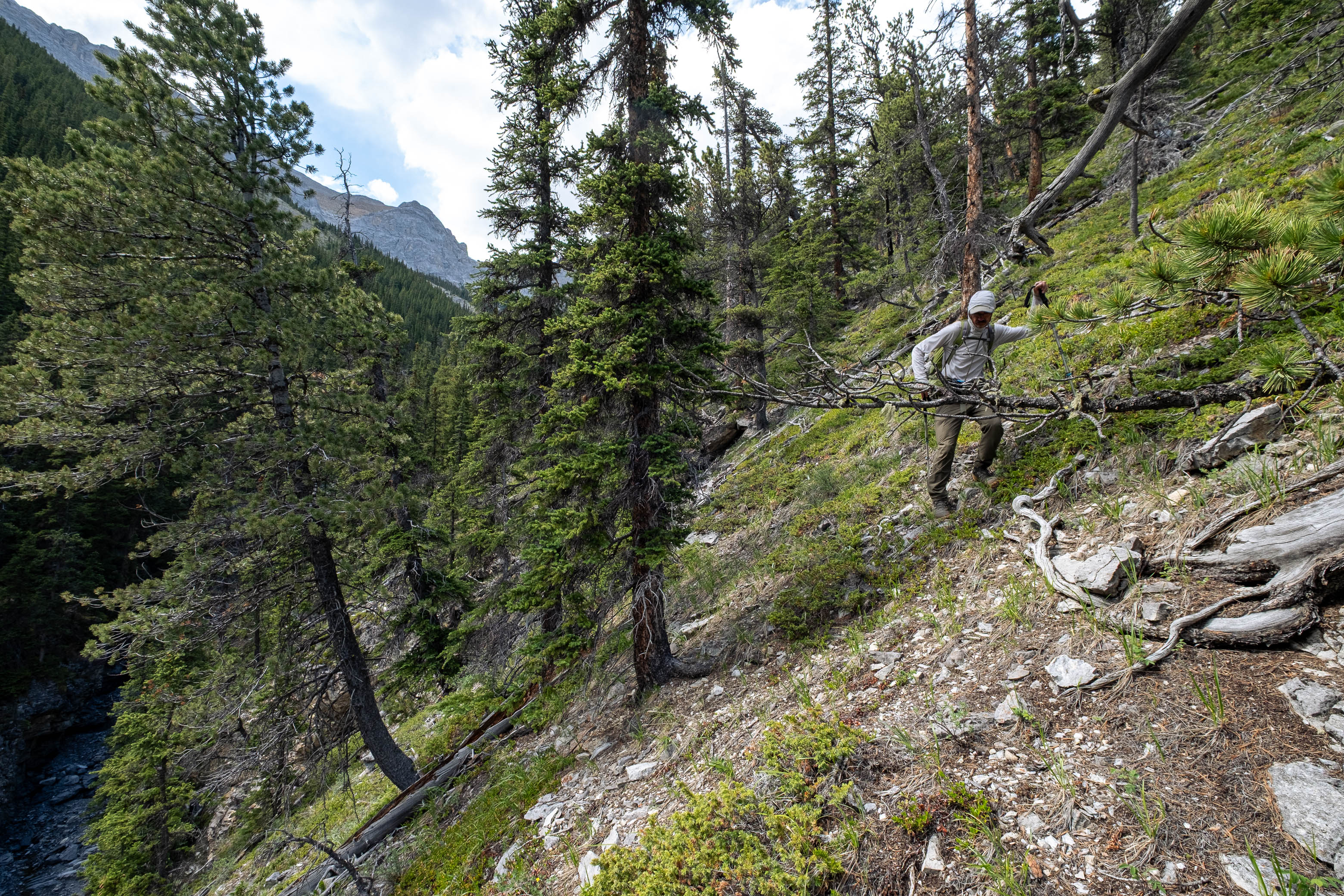
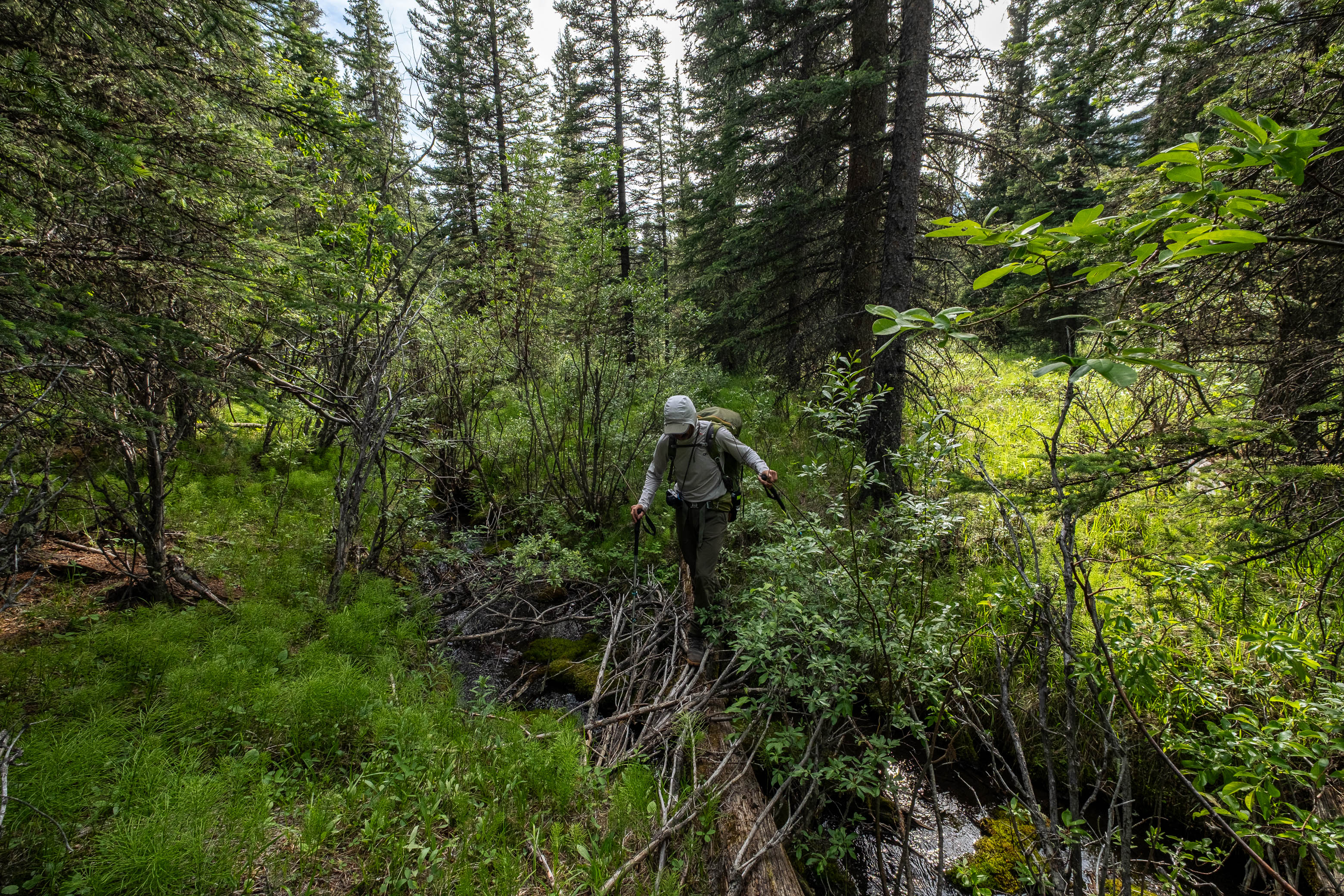
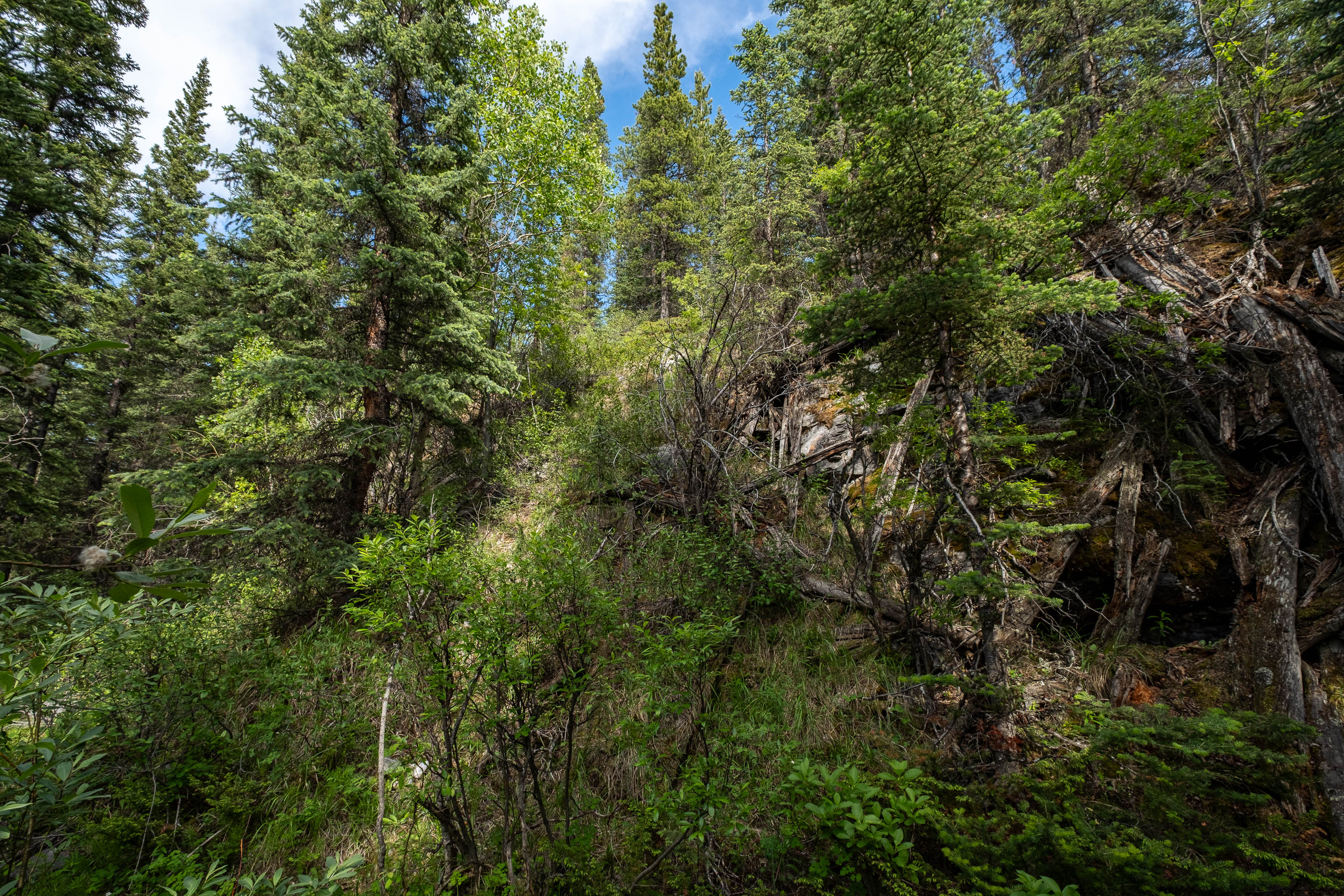
The next little while was easy going, simply following the broad, rubble creekbed, and we only faced one obstacle in the form of a minor cliff that we bypassed on steep slopes to skier's right, before promptly dropping back down to the creek. A little while later, we noticed a trail (far too significant not to be man-made) leading up into the forest on the right side of the drainage. Intrigued, we followed it for a short distance, but quickly turned back as it climbed high above the drainage and then appeared to just continue heading east...Unsure what this trail was doing, we decided that it would be in our best interests to head back and simply continue following the drainage out instead...Spoiler alert! It wasn't. A short stint of boulder hopping later, we were once again cliffed out by the drainage, and once again detoured up the steep slopes to our right. This time, rather than immediately heading back down, we climbed to the gentlely angled treed "ridge" above, discovering another drainage on the opposite side with an obvious trail paralleling it! That must be where the trail we'd discovered earlier had gone!
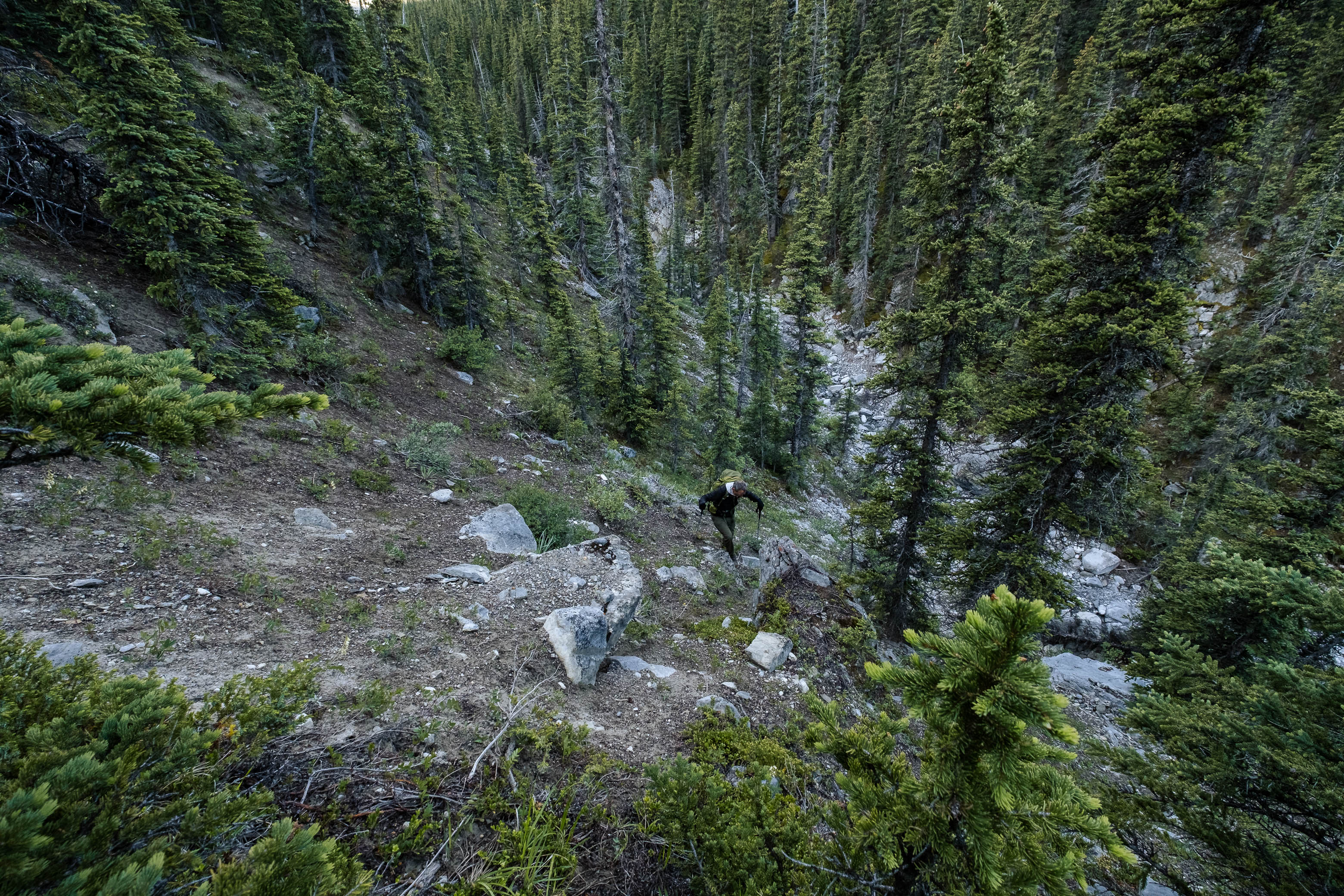
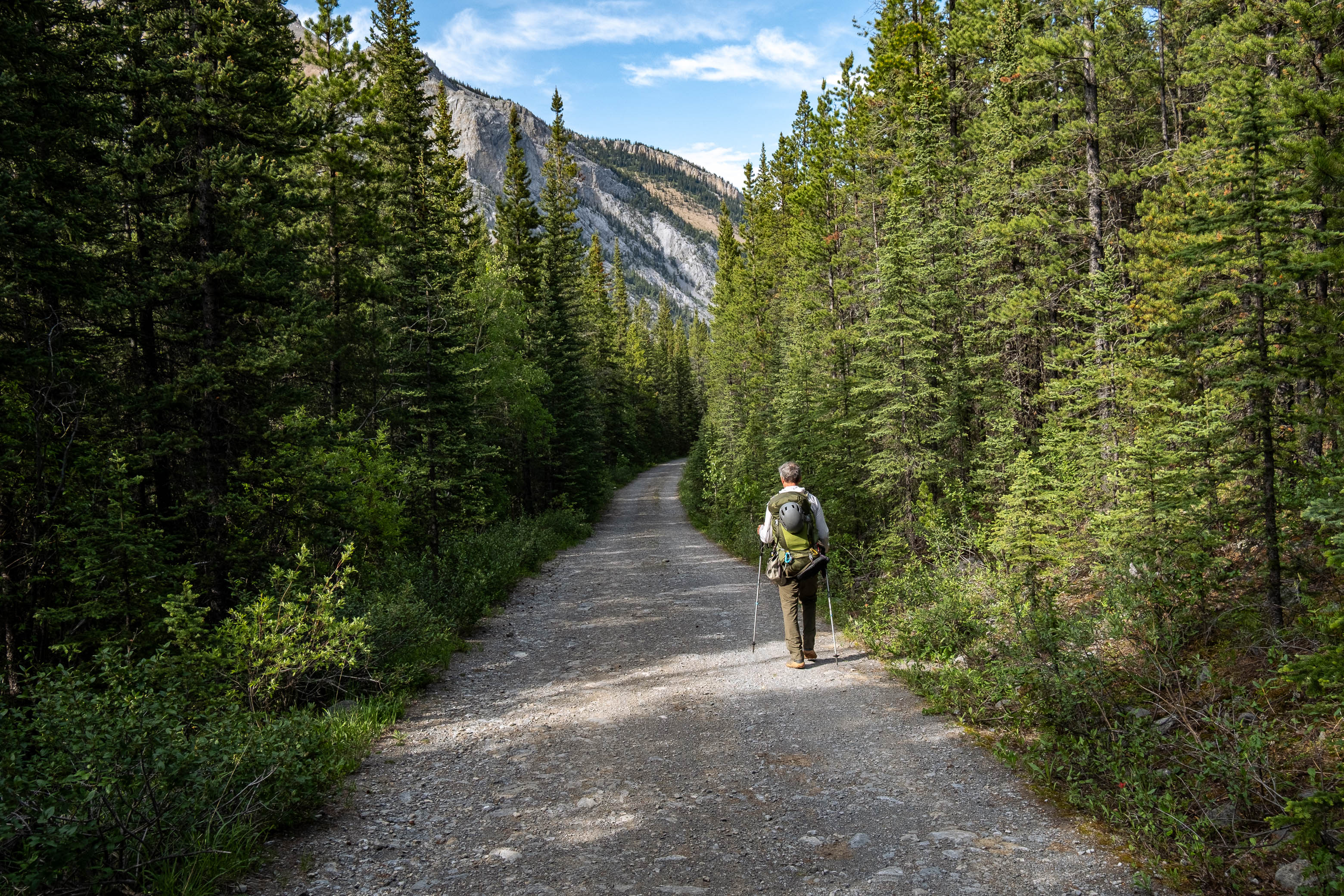
Frustrated that we'd wasted time not being on this trail, but grateful we'd re-discovered it, we descended the steep, loose slopes of this new-found drainage, and easily crossed to the welcoming trail on the opposite side. From this point onwards we were cruizin' and after another 3.5 km emerged to the Romulus Backcountry Campsite. Now it was time for the day to really start!
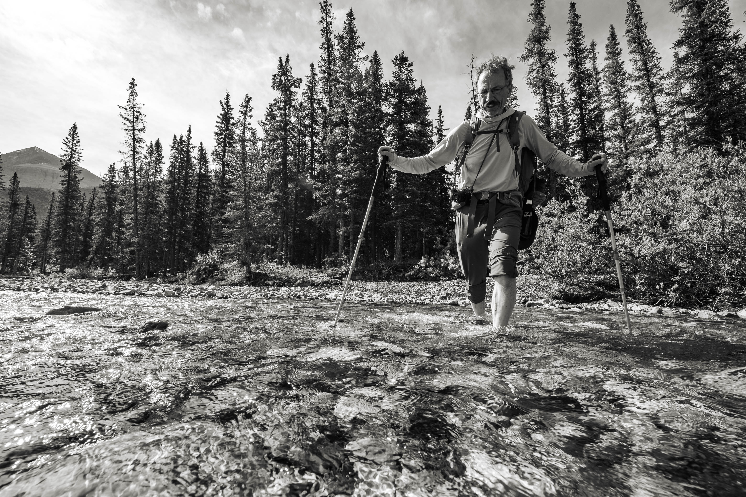
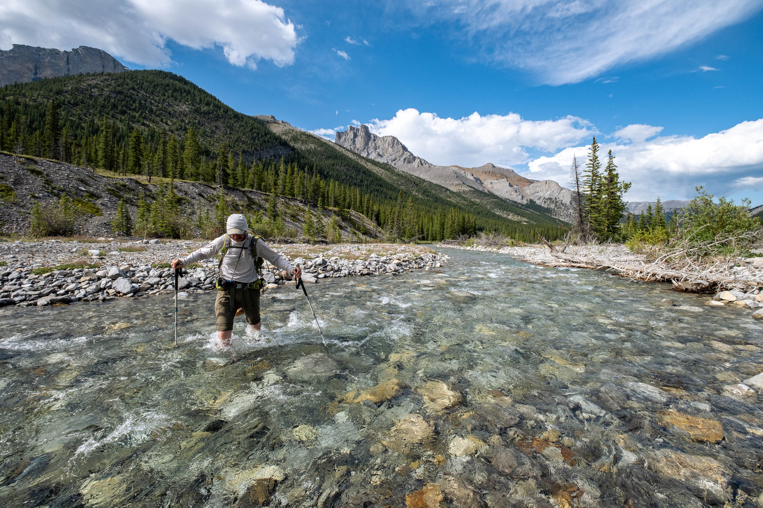
We made our way to the north side of the campground and down to the Little Elbow River which we would have to cross to access Mount Romulus. Due to the recent snow storm - and the rapid melt of that freshly fallen snow - I was seriously concerned that the river might be flowing too high to cross, completely sabotaging my entire trip plan! Luckily my worries were quickly pushed aside, and we easily crossed the chilly, mid-calf deep waters (who knew aquasocks made such a difference!!), before stretching out and having a late breakfast in the warm morning sun on the opposite side.
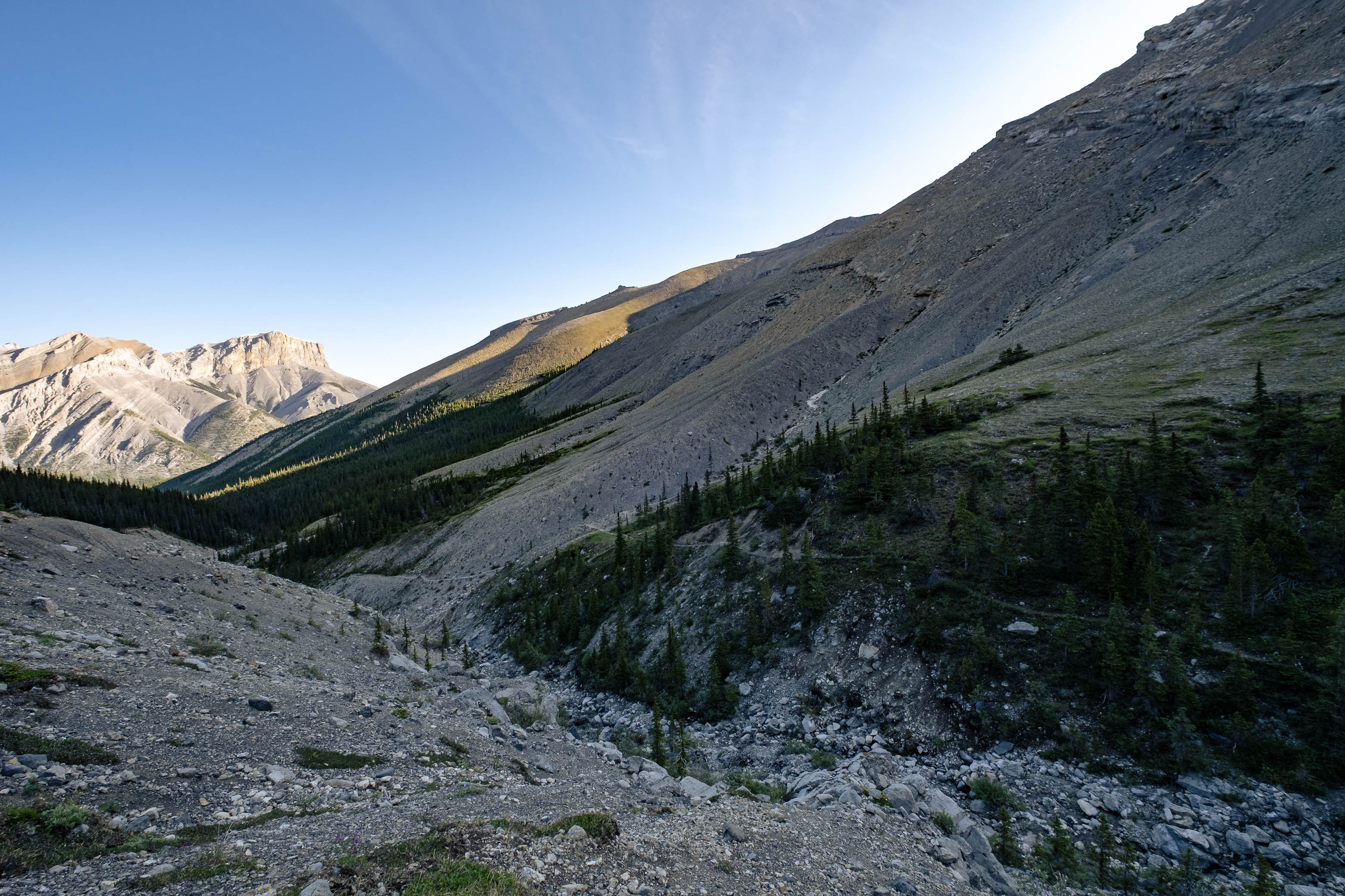
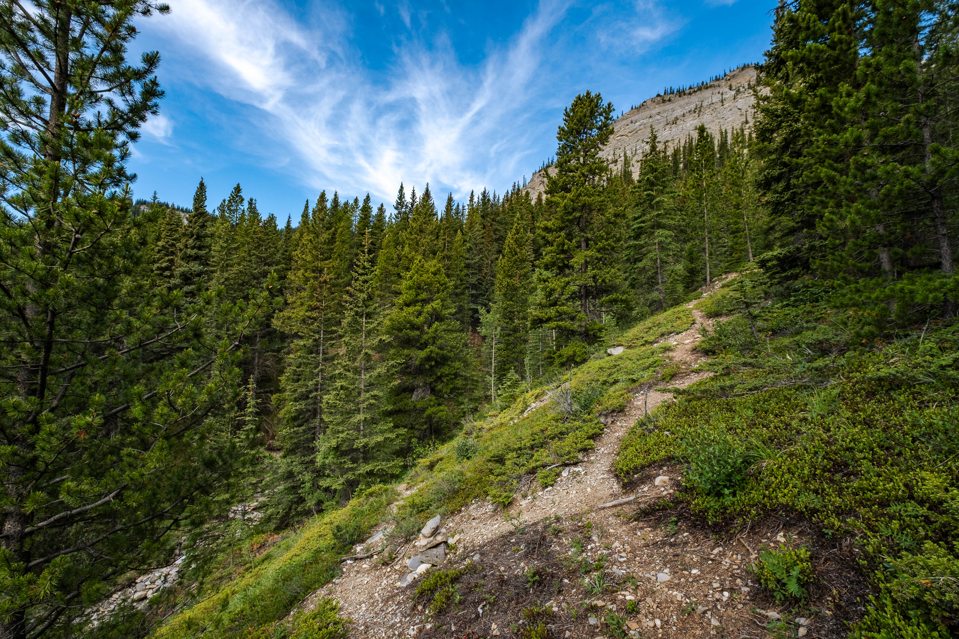
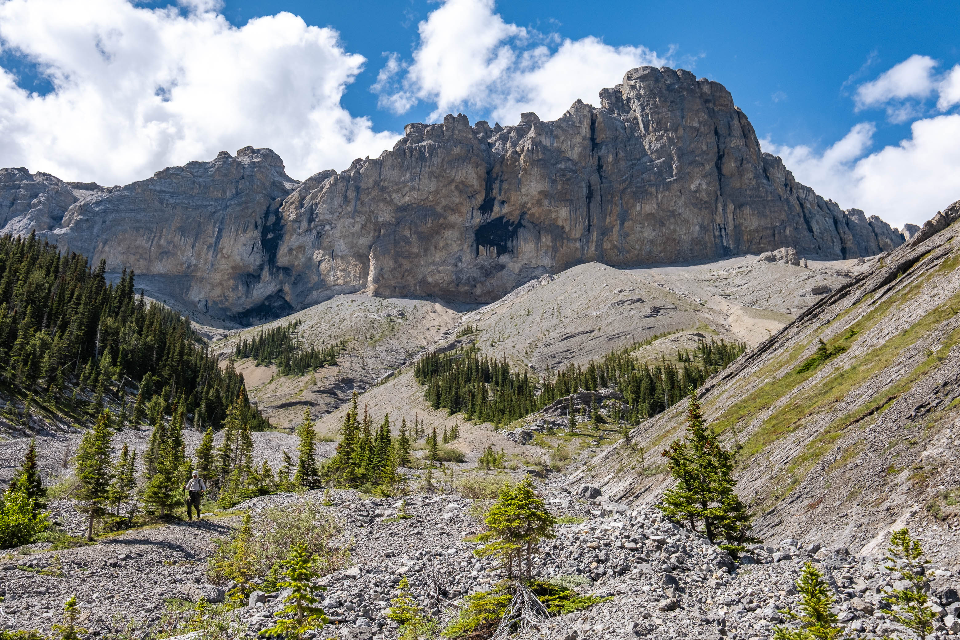
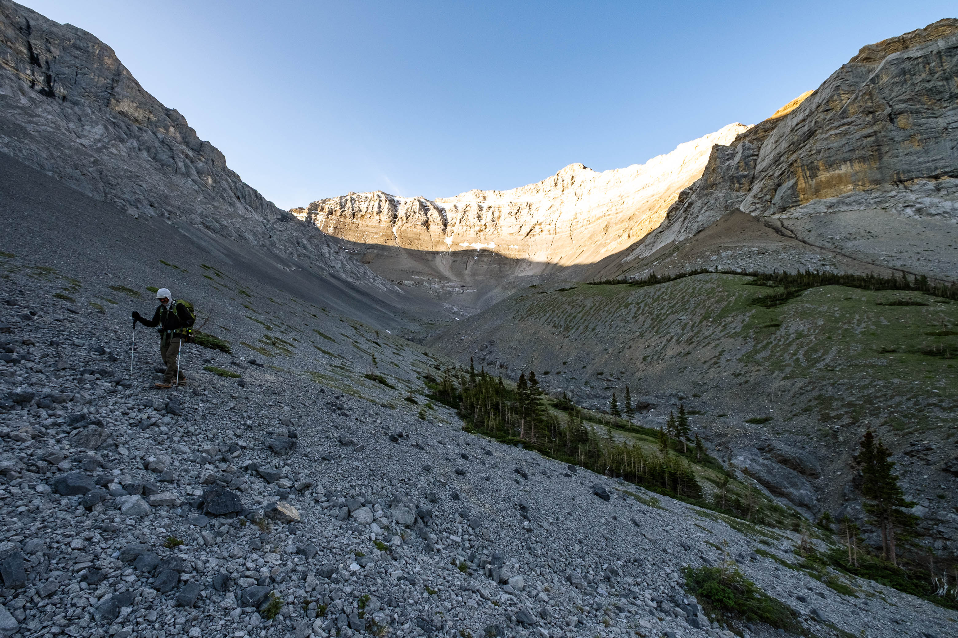
The approach trail for Romulus starts only about 100 m upstream from where we crossed, and we coincidentally headed for the forest at the exact same time as another party who had just finished their crossing further up the river. This group of 4 had biked in the previous evening, stayed the night at the Romulus Campground, and were heading in the same direction as we were. We started up as one big group, following a surprisingly good trail heading west through the forest for about 1 km, before branching off to climber's right, and continuing up along the eastern bank of a drainage gully coming off the south end of Mount Romulus. Shortly after starting up alongside this drainage, however, we told the other group to go ahead with their fresh legs and light daypacks, while we trudged up behind with our jello-like legs and heavy overnight packs.
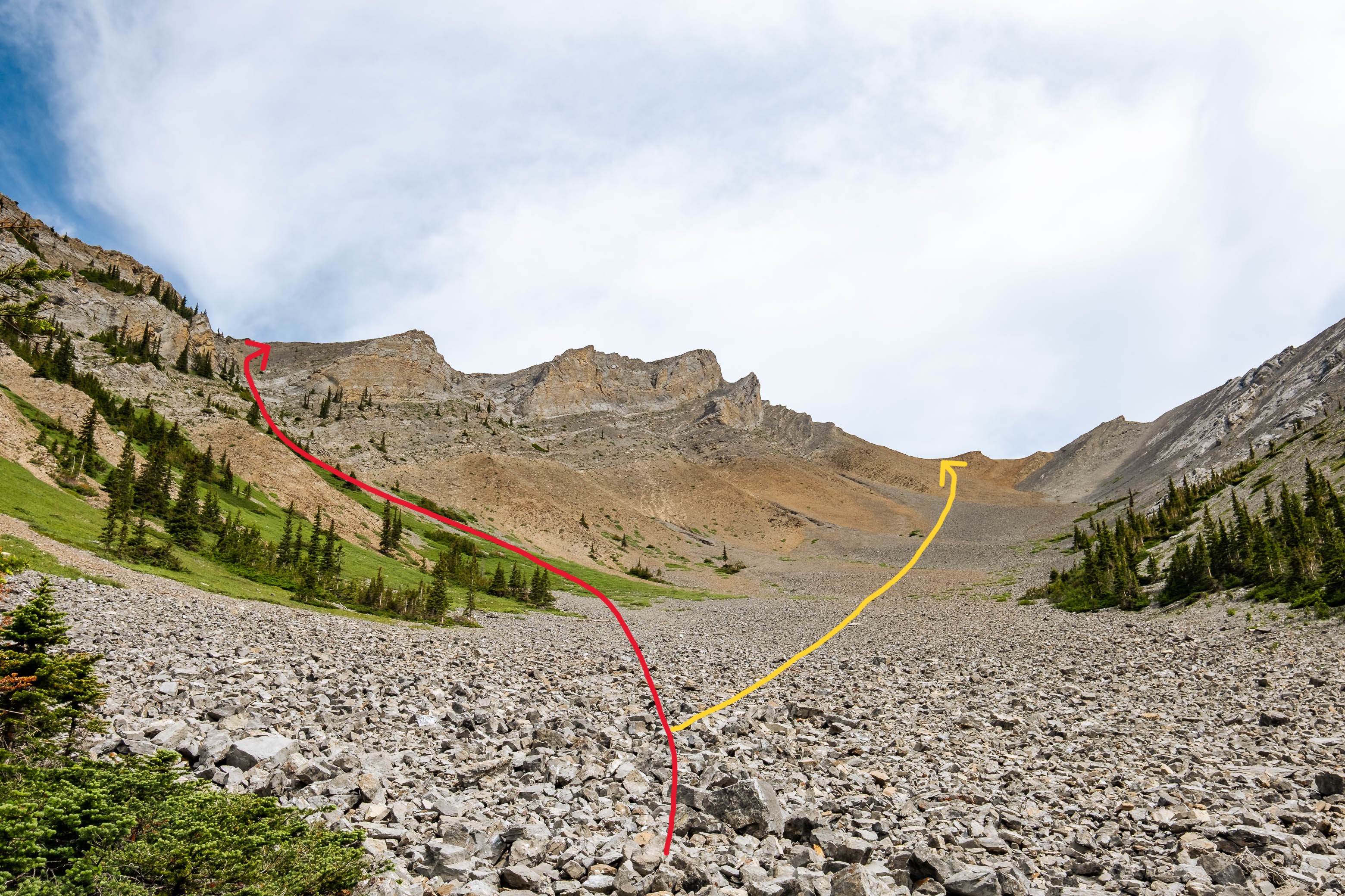
Upon reaching the upper basin, the other group continued traversing high on the scree slopes to the right, while we started down to the drainage, angling directly for the ascent gully that grants access to Romulus' southwest ridge (the last gully with a significant patch of greenery at its base). Given that there are two ascent routes that split off at this point, I assumed that the party of 4 was taking the big basin route - heading directly up the scree slope that lay in front of us. This was a relief, because looking up the gully, it appeared to be pretty steep and loose, and I didn't like the idea of having a big group ahead of us...
I started powering my way up the gully, having found a new burst of energy in my tired legs, and quickly gained elevation towards the ridge. When I turned around to see how my dad was doing, I realized I'd completely left him in the dust, and he'd been intercepted by the party of 4, who had now crossed over to our side of the valley...They all stood at the base of the gully I was climbing and seemed to be having a conversation of sorts.
It turns out that the other group wanted to follow us up the gully/southwest ridge route, but didn't bring helmets and therefore wanted to ascend it with us rather than behind us. Being in a groove, I really wanted to just keep going and was a little bit frustrated that I had to slow down, but forced myself to wait for them to catch up before continuing on.
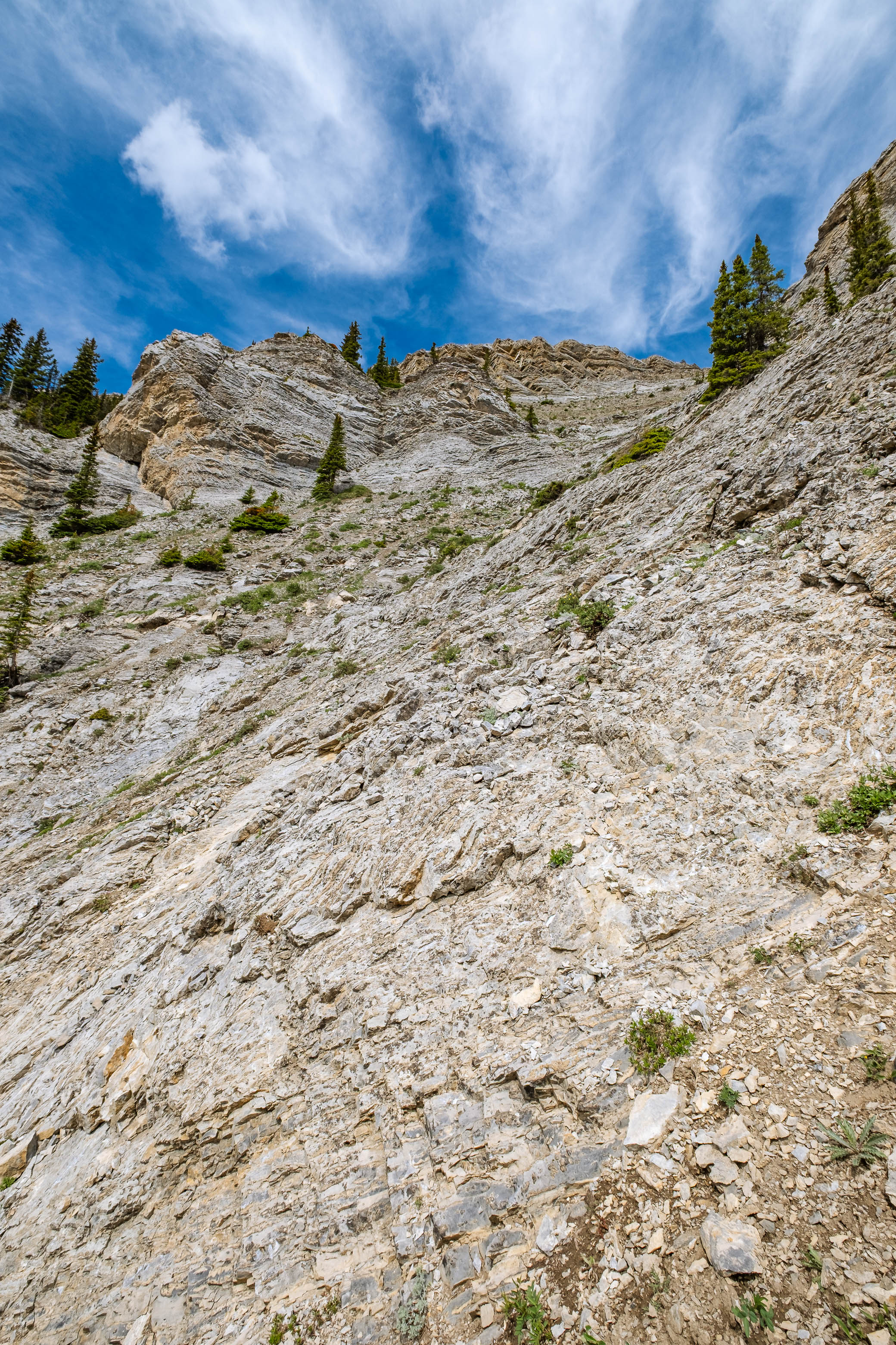
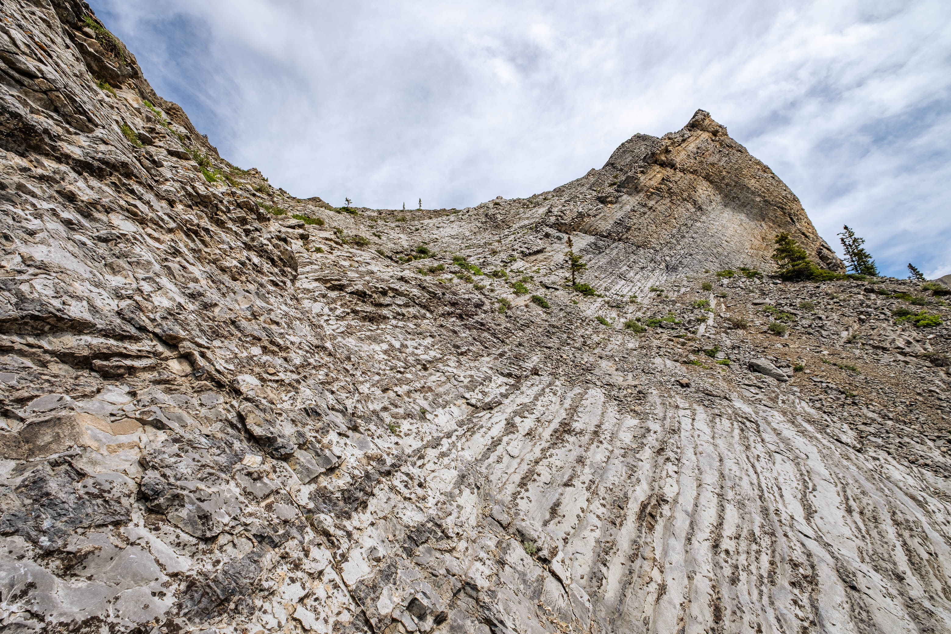
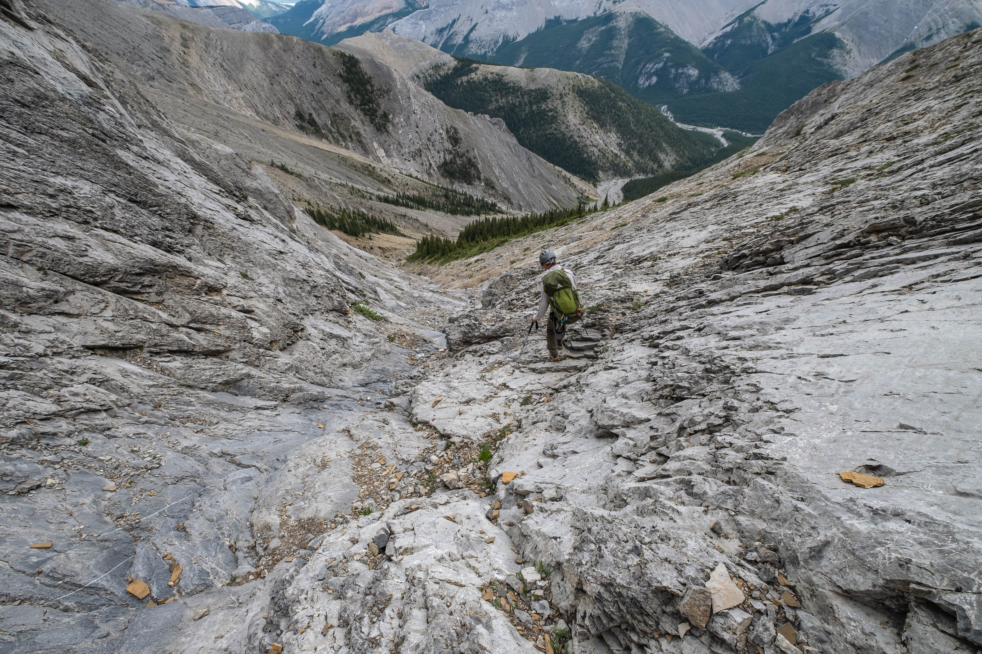
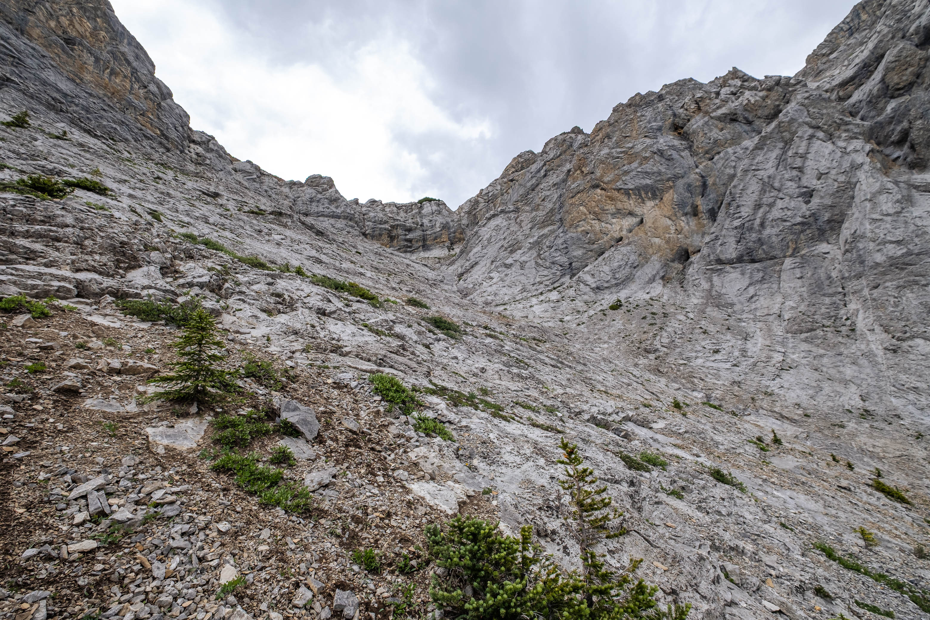
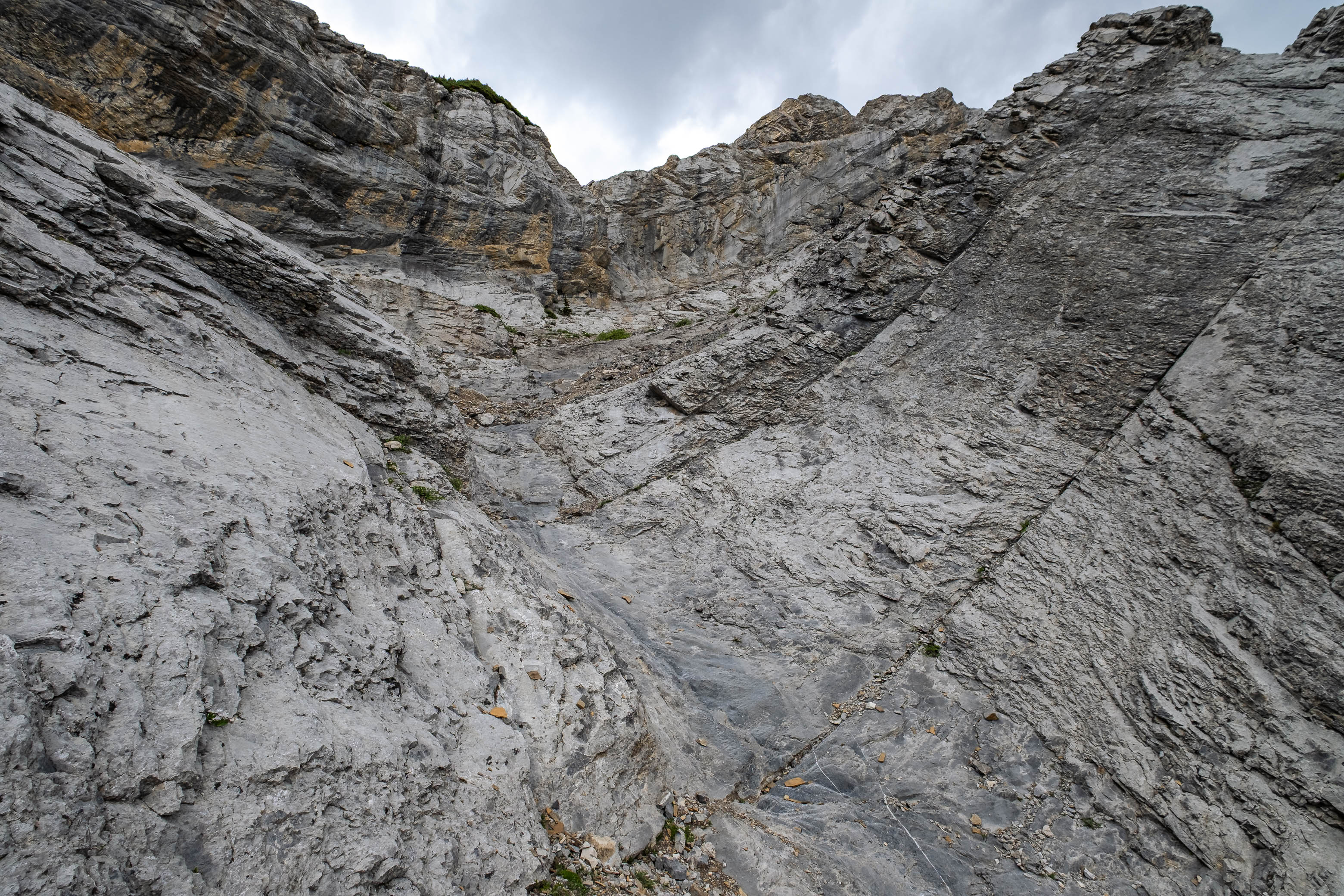
The gully was quite enjoyable to ascend, with a good chunk of the ascent being on solid, waterworn rock (moderate scrambling). With careful footing I managed to not send any rocks down as I led the way, but I had a bit of a scare when one of the guys sent a sizeable rock tumbling down towards my dad who was at the back of the pack! Luckily it was just a near miss, but was still more than enough to prompt my dad to get the heck out of the gully and ascend step-like terrain to climber's right.
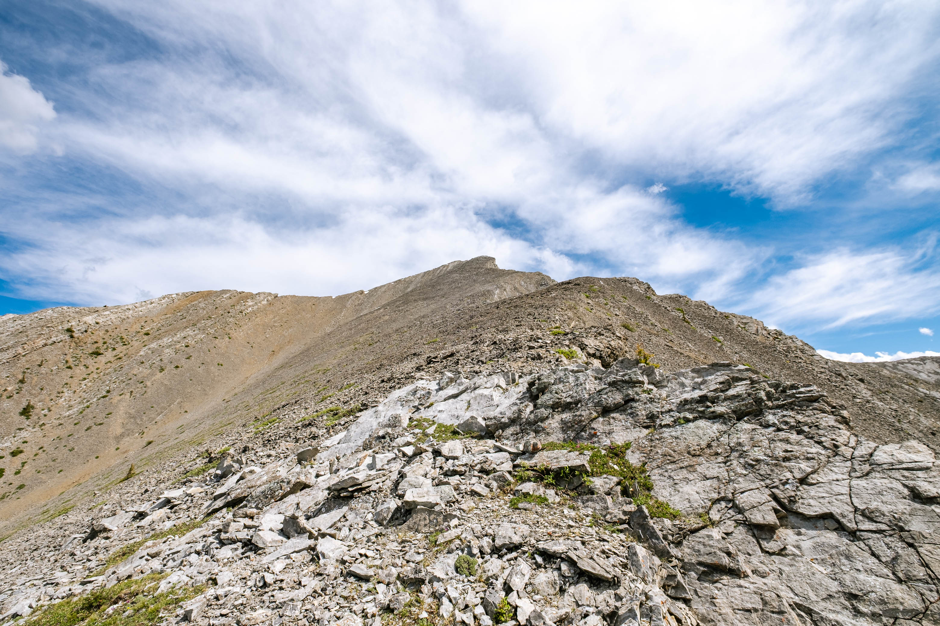
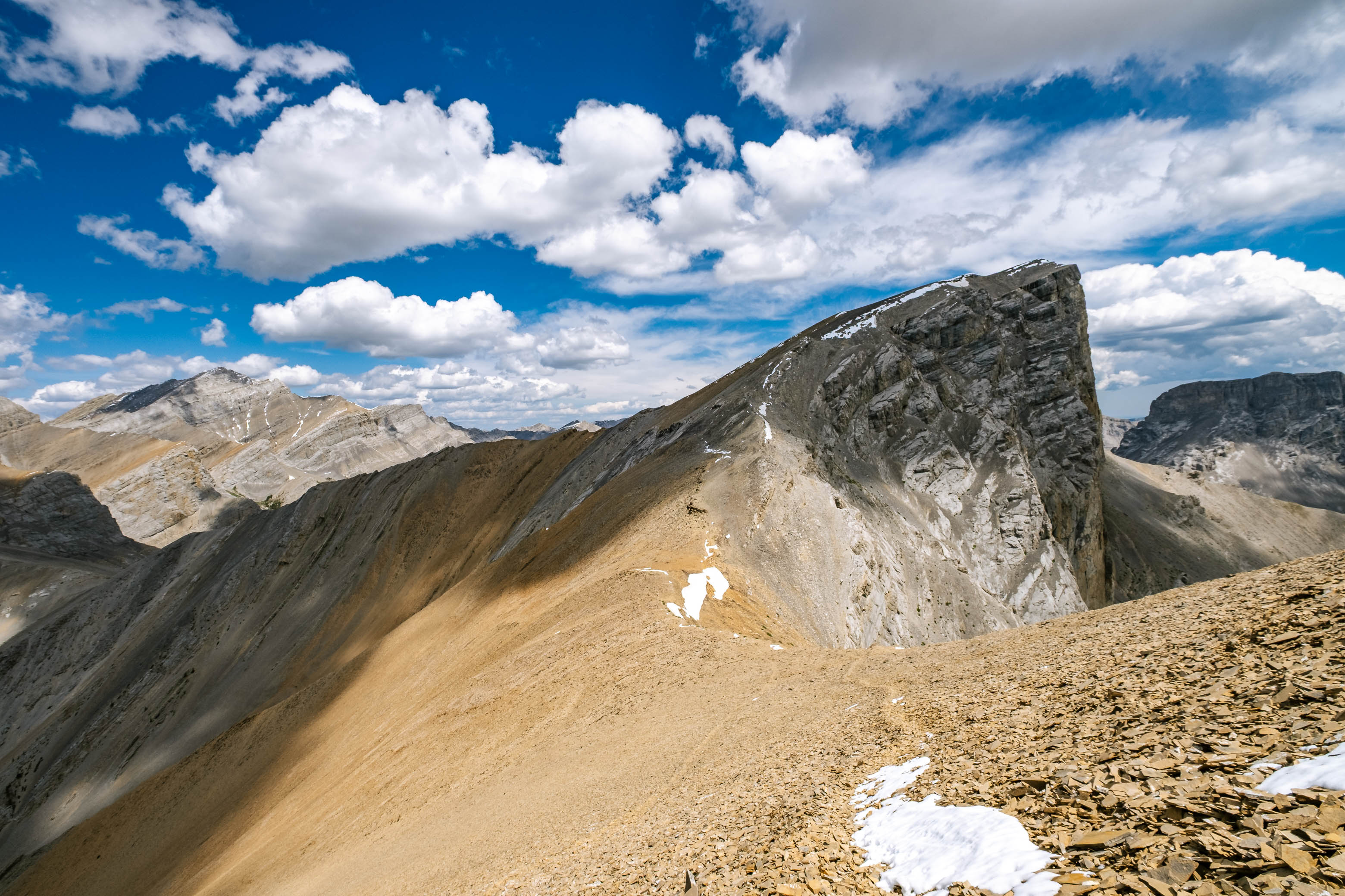
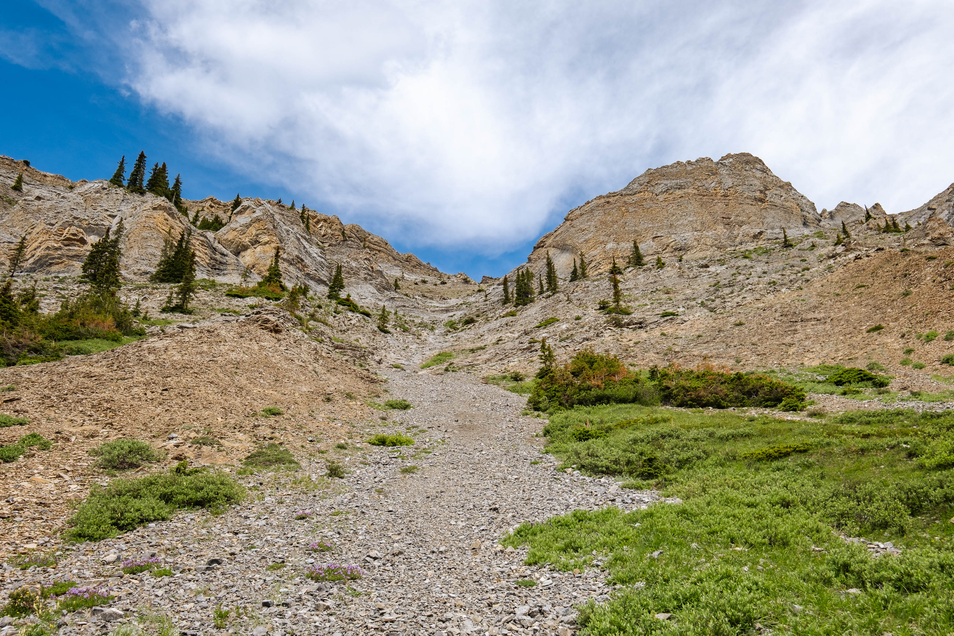
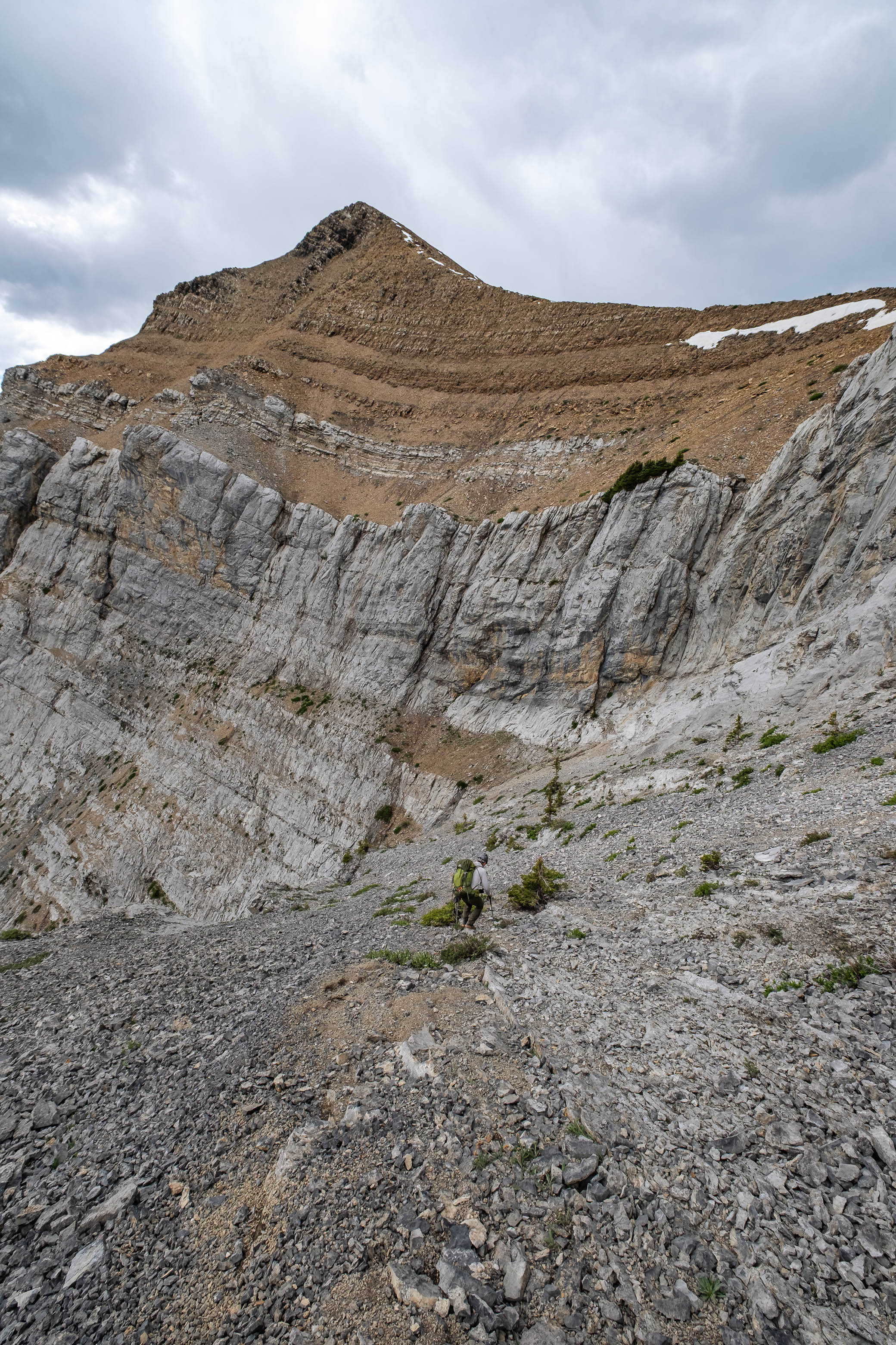
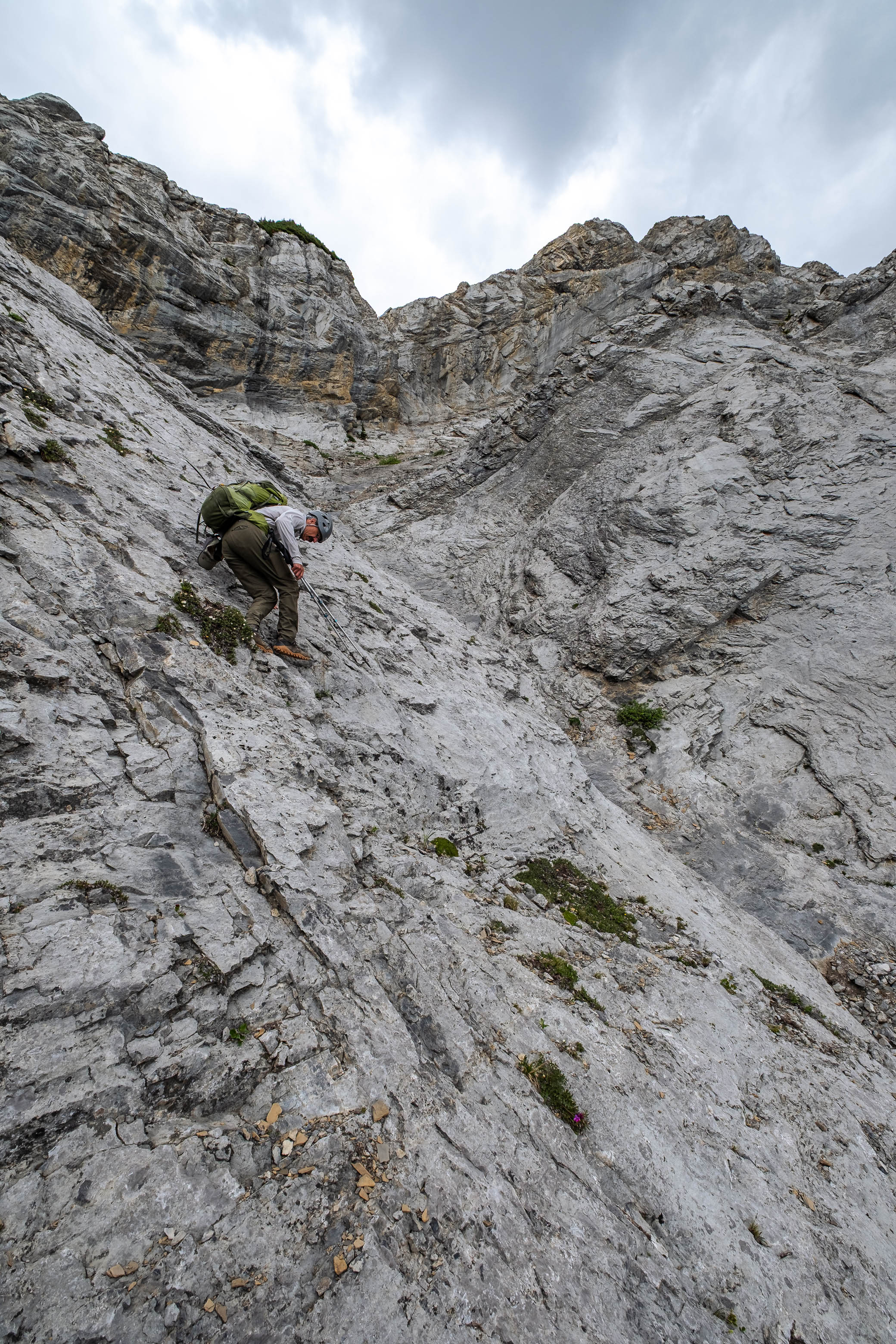
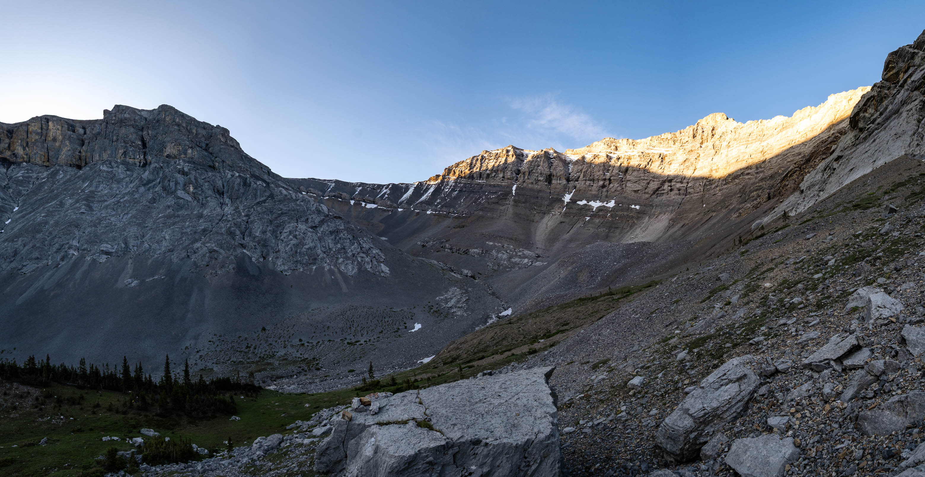
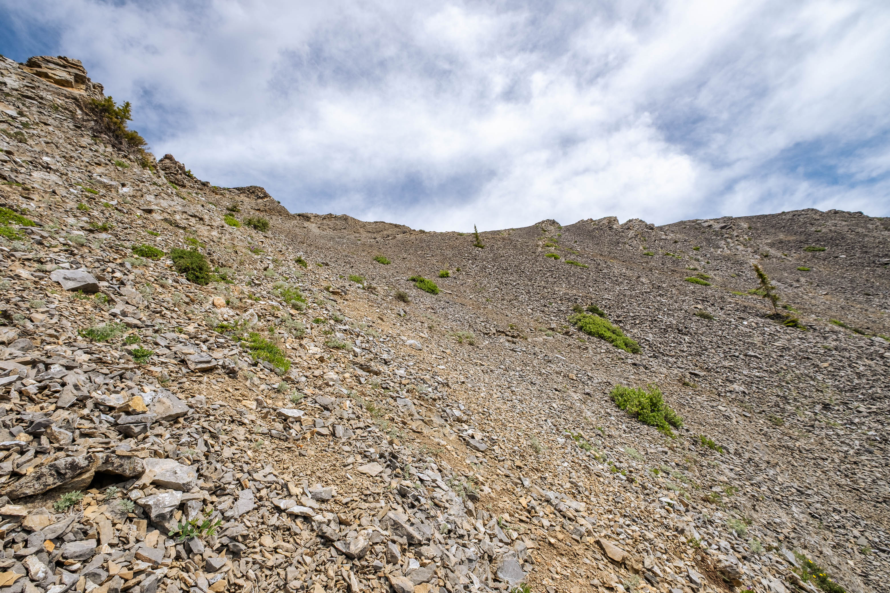
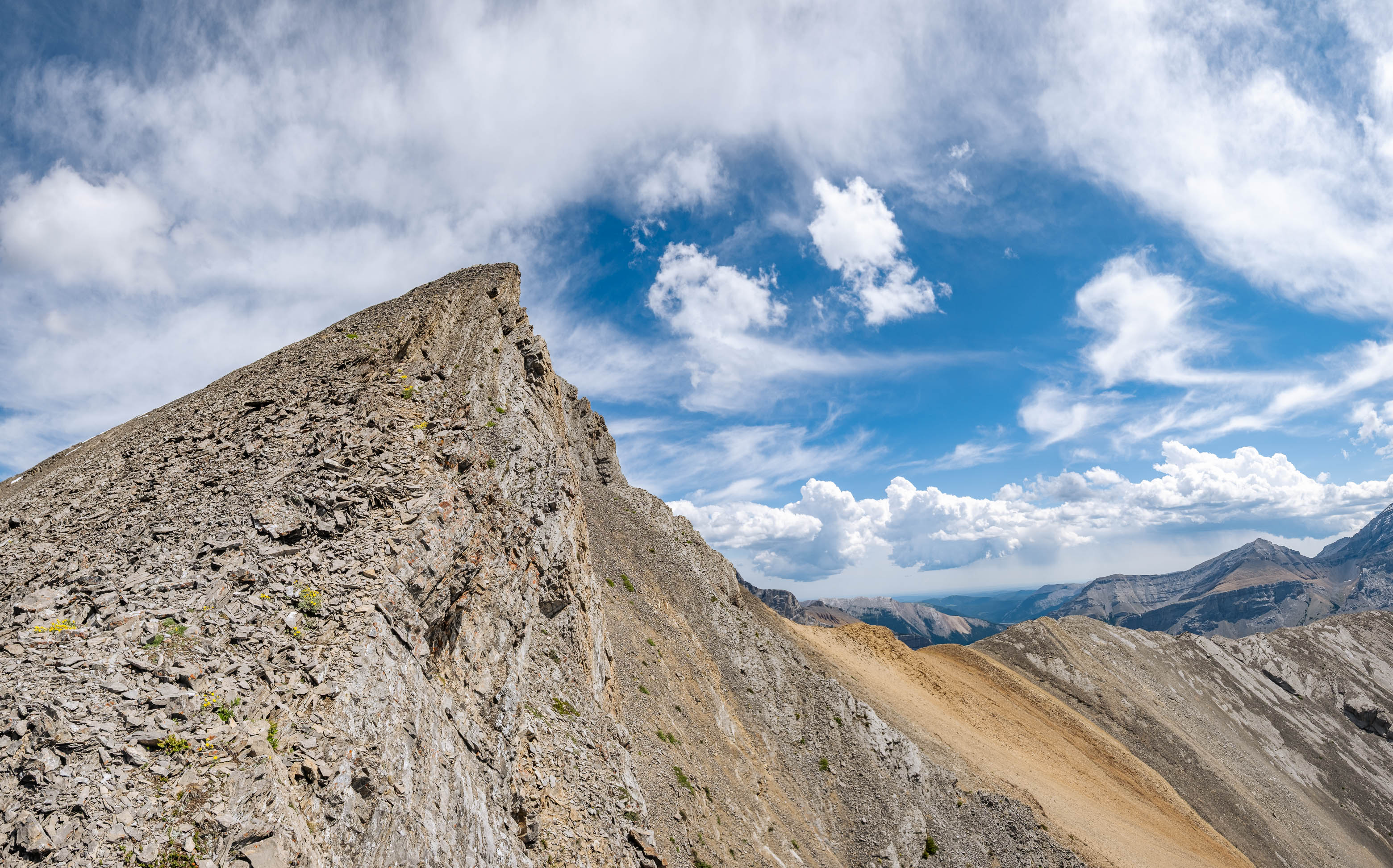
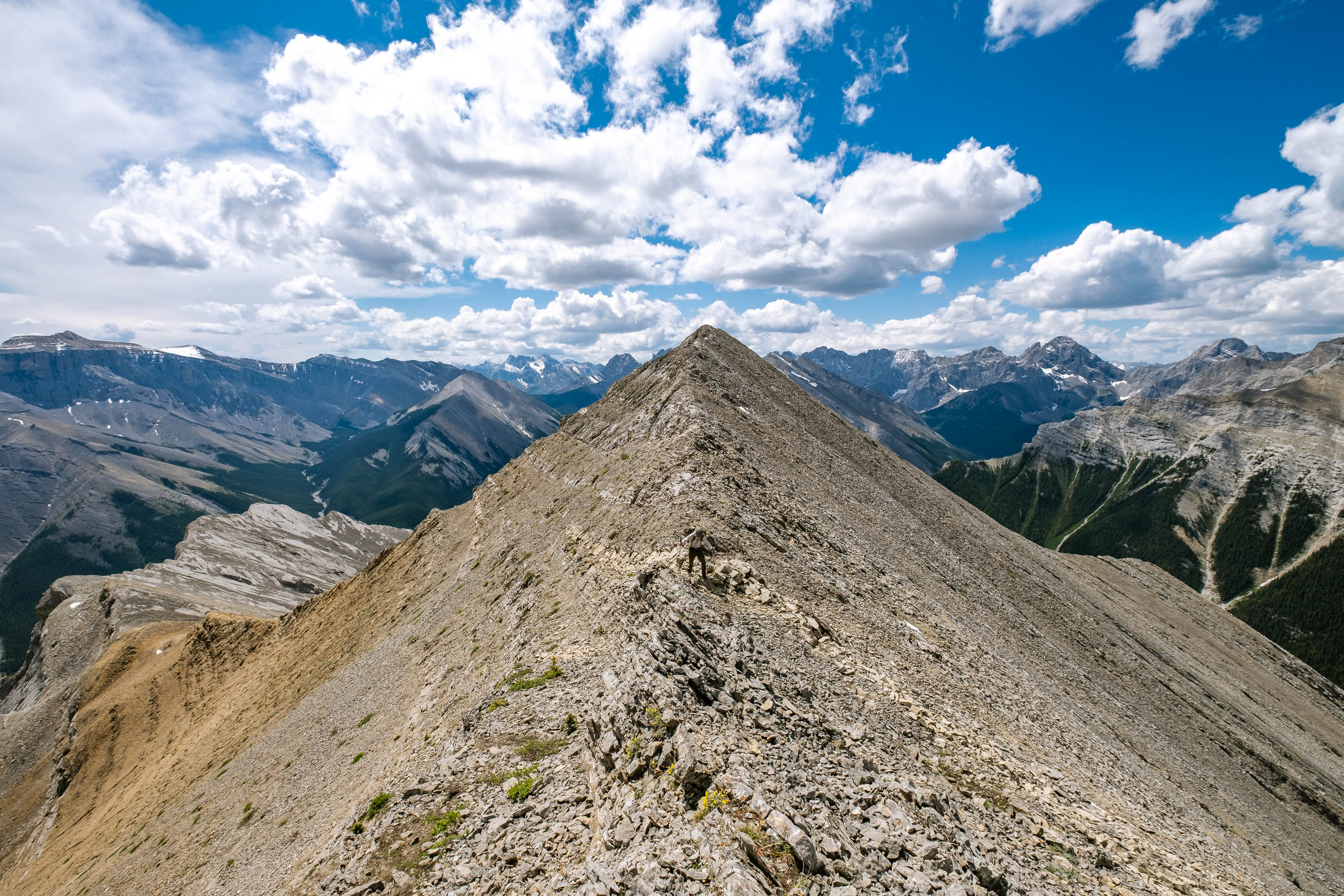
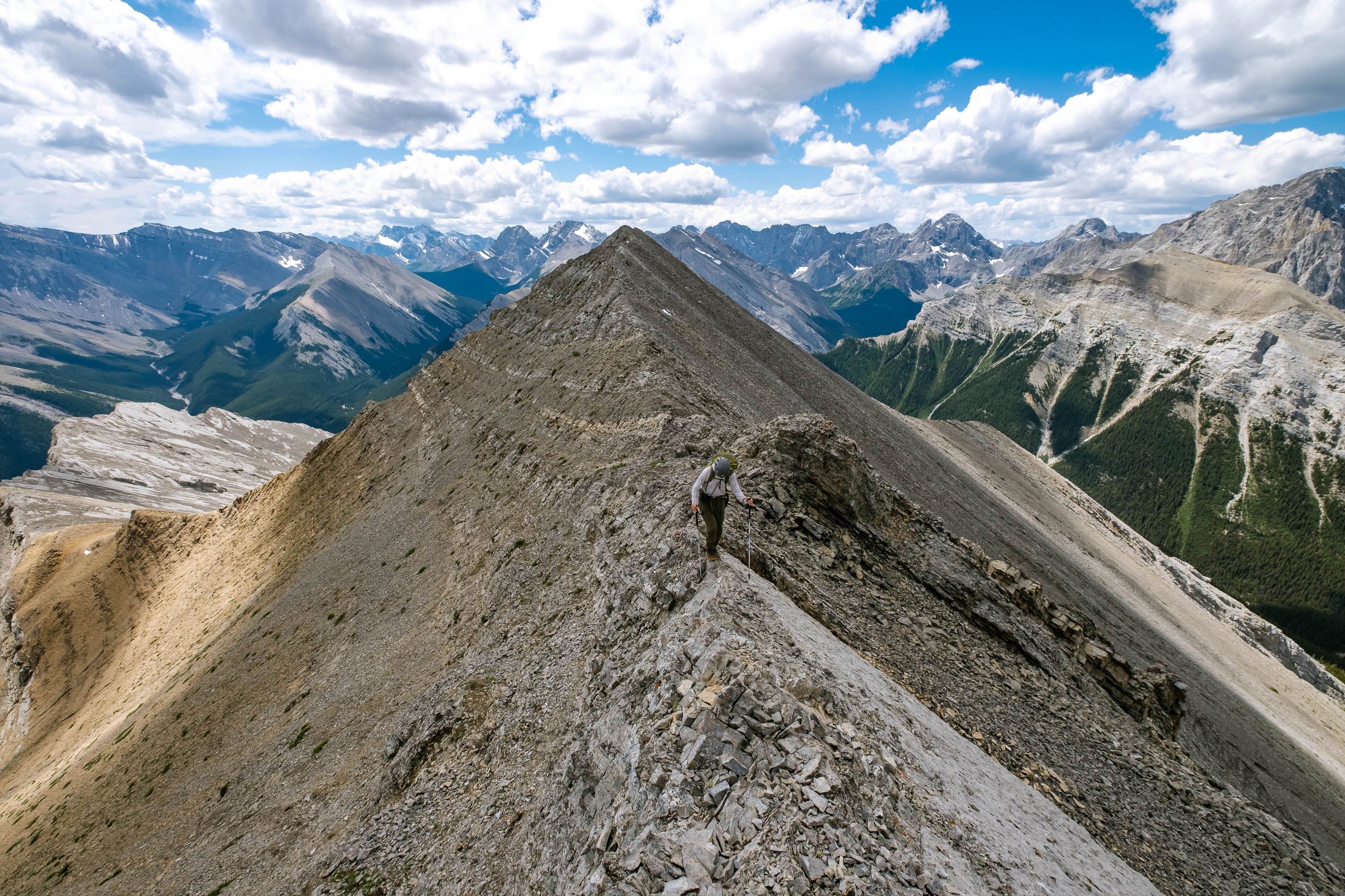
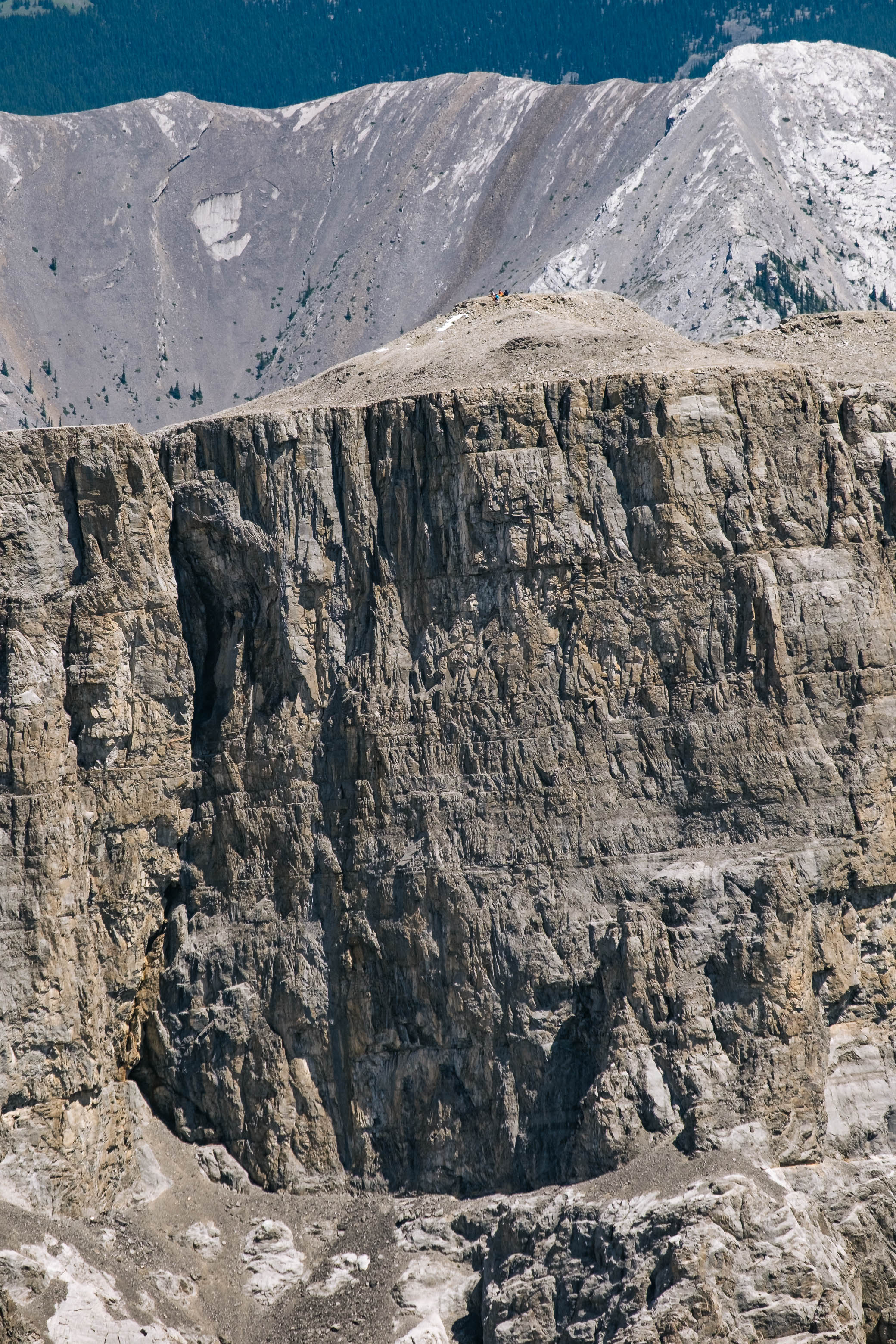
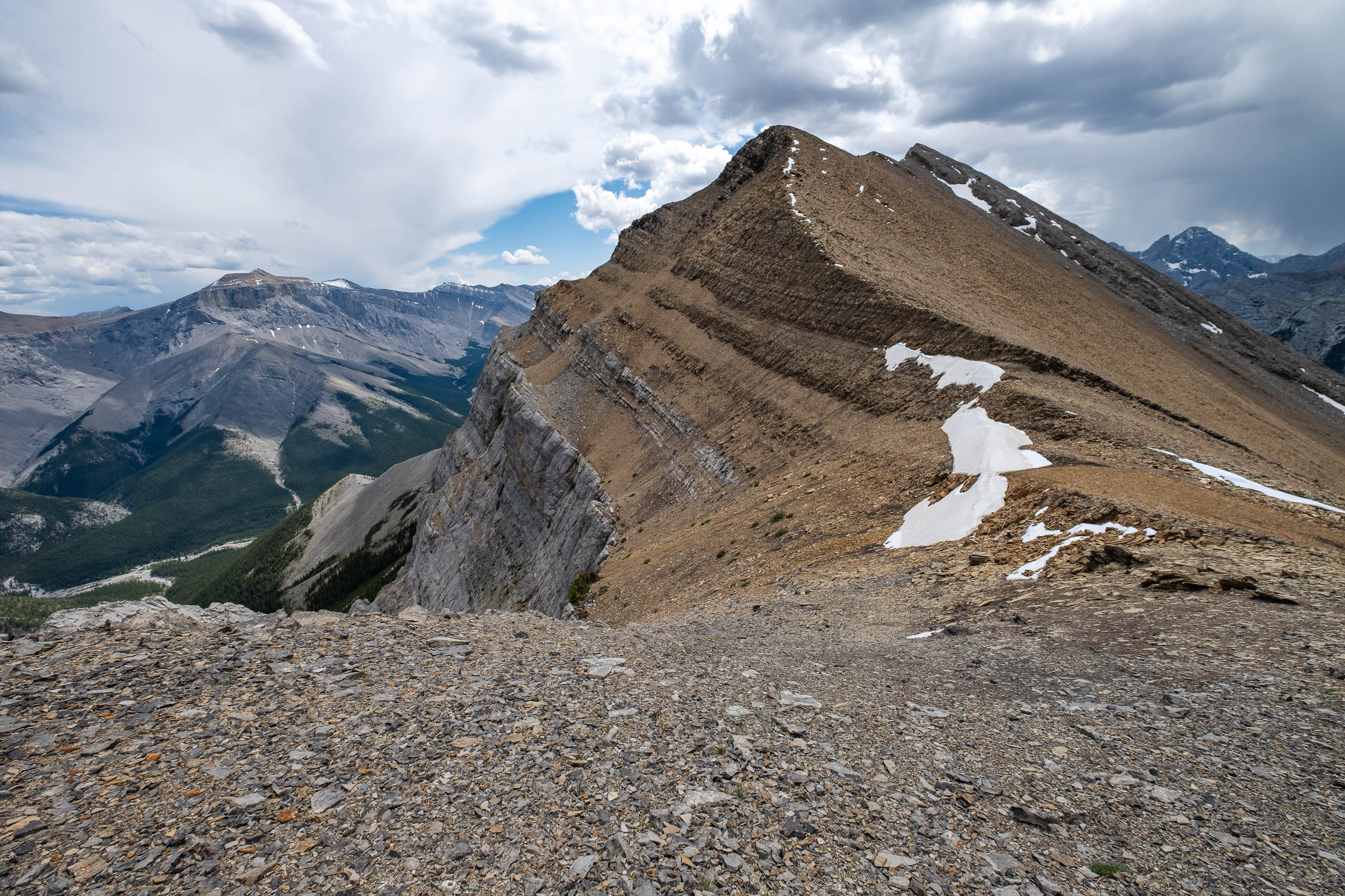
Soon we emerged to the ridge (unfortunately the rock degrades to loose heaps of scree just before topping out), and my dad and I continued our ascent while the other group stopped for a break. Following the ridge is largely just a hike with only a couple spots that deserve special mention. At one point, just before reaching the second minor highpoint, the ridge becomes slabby and narrows significantly. While this section didn't really faze us - and we simply walked right across it - it did require a little bit more concentration than the broad ridge we'd mindlessly followed thus far! Shortly thereafter, a short cliff band needs to be descended on route to the low col below Romulus' broad summit slopes. We chose to downclimb just right of the nose, and although quite steep - and a little awkward with bigger packs! - we were still able to downclimb facing forwards so it can't be that bad, right?! 😉
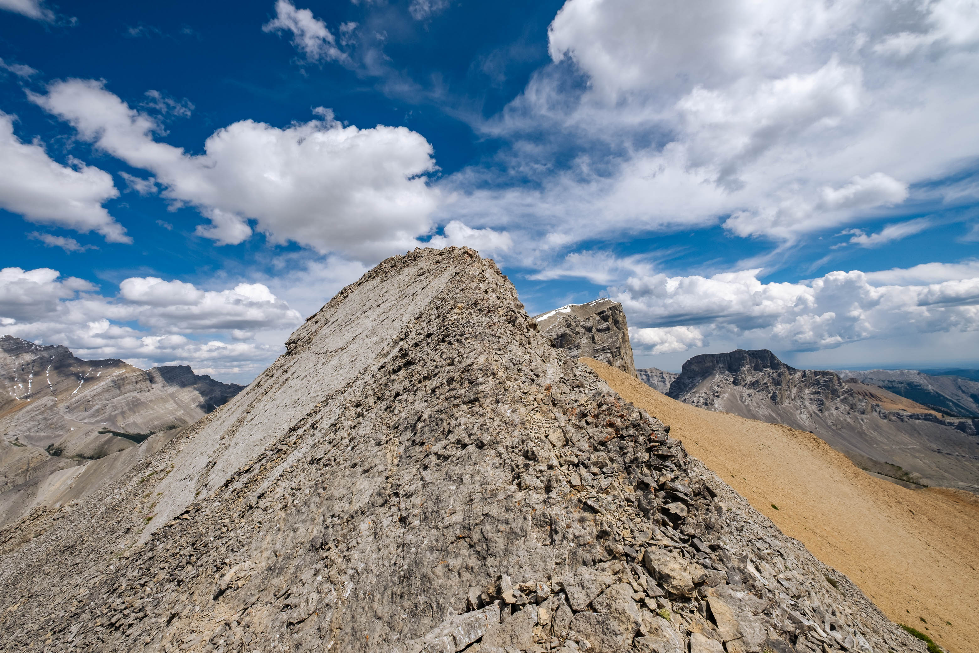
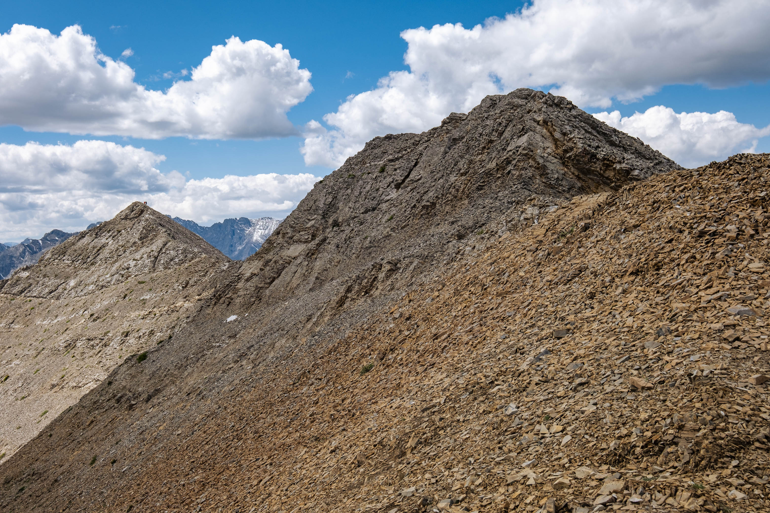
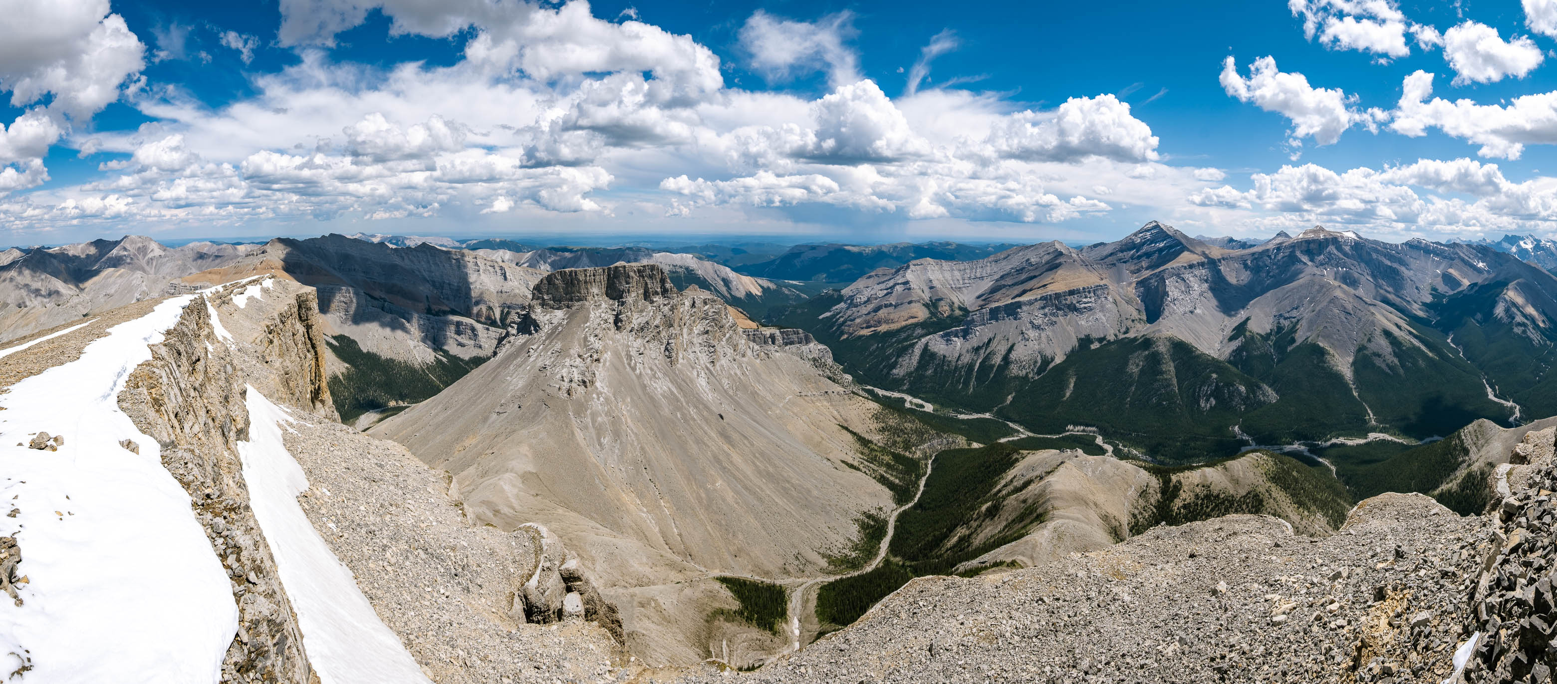
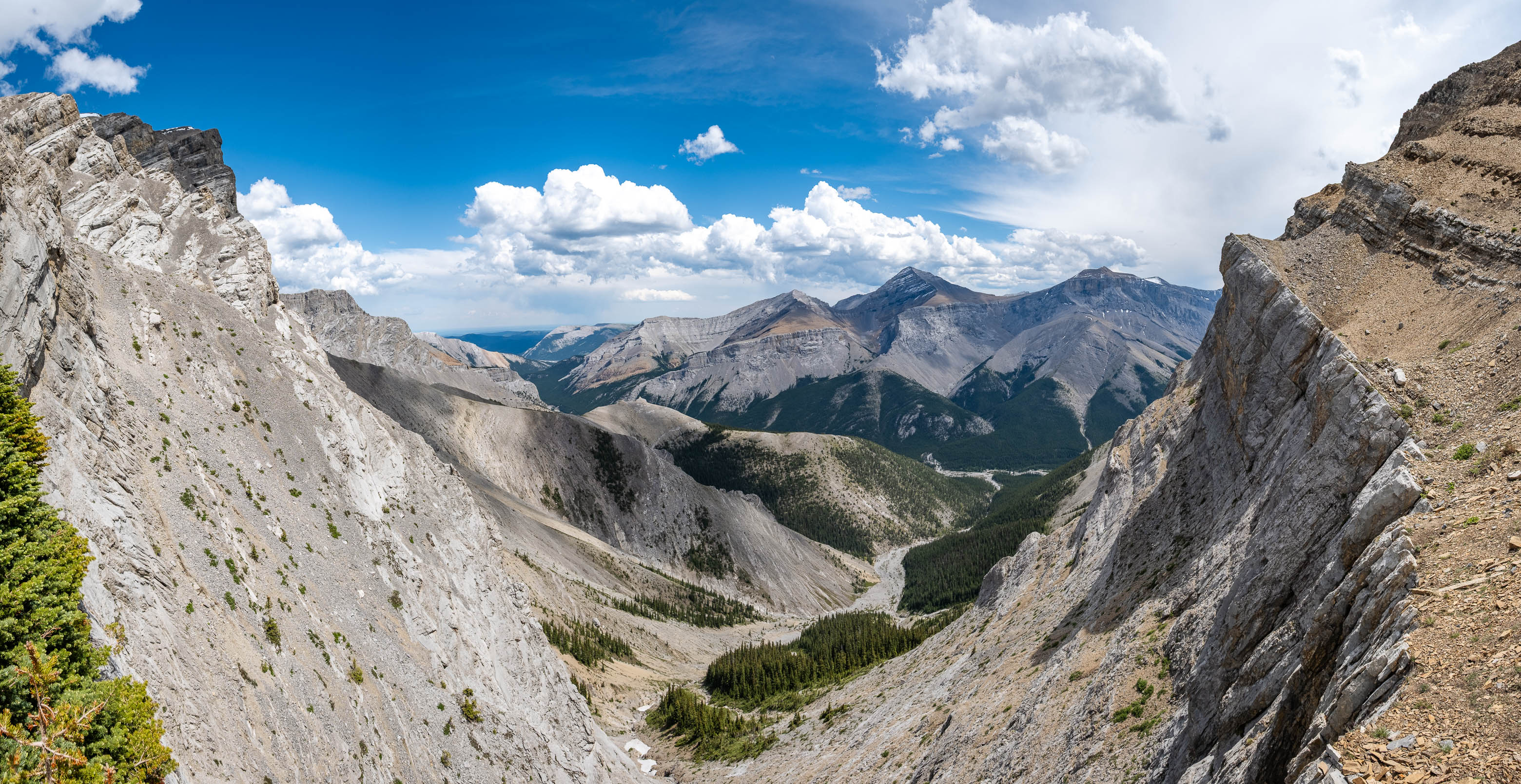
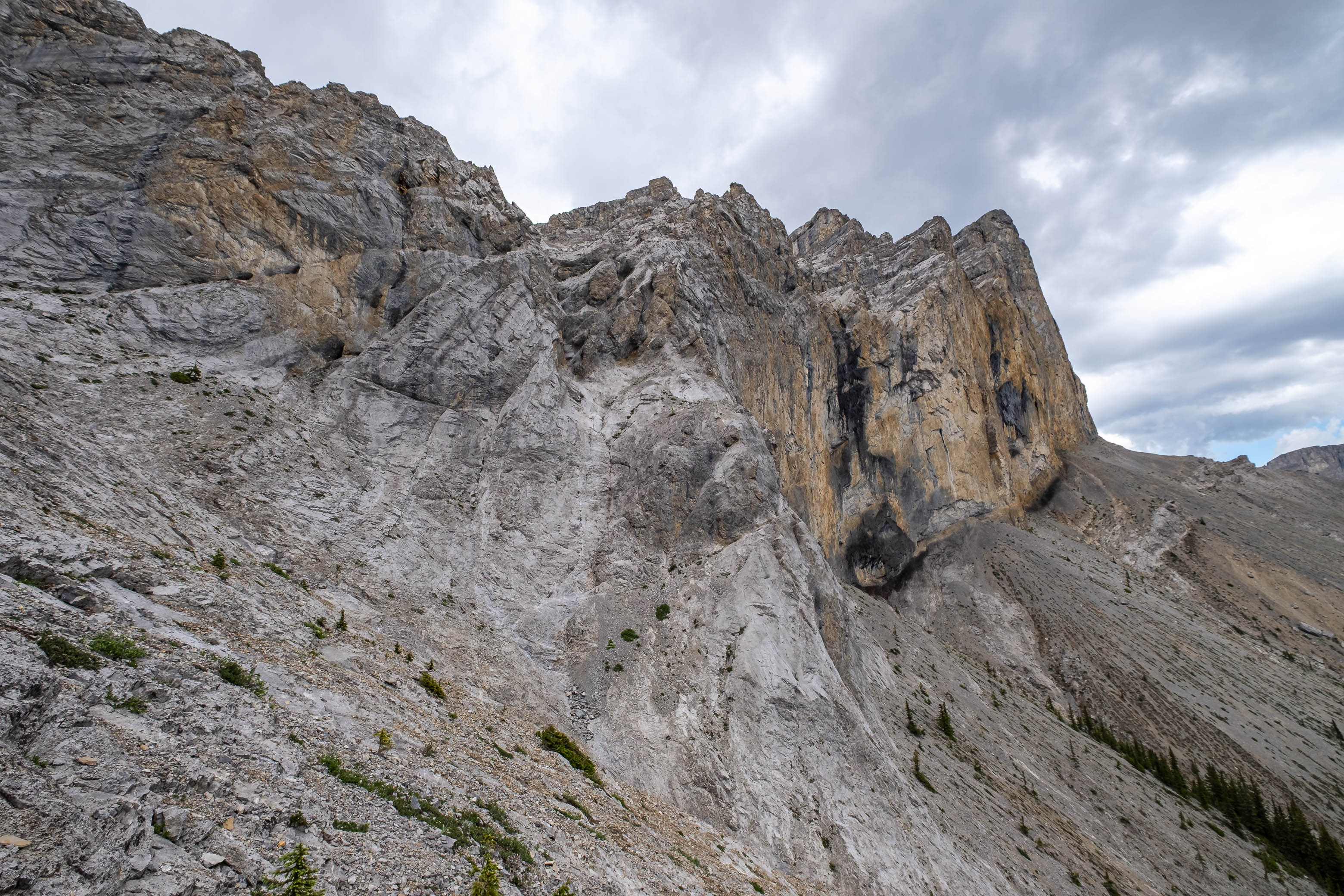
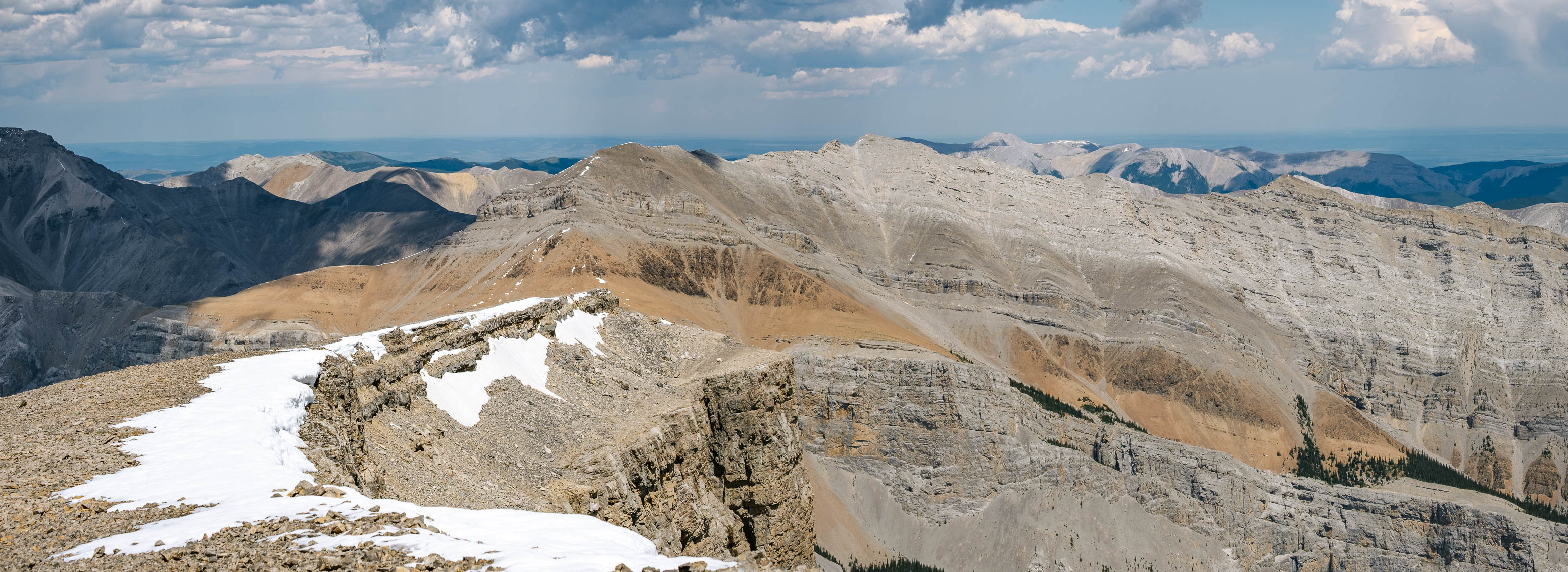
Once past this obstacle, all that remains is a scree slog to the summit...which still looks dishearteningly far away! Romulus' impressive summit cliffs loom high above the final low point, and 250 vertical meters still need to be gained to stand above them. Although the trudge went on a little longer than our achy bodies would have liked, the scree leading up this final stretch is actually quite solid and we were making the final few steps to the summit cairn much sooner than I expected.
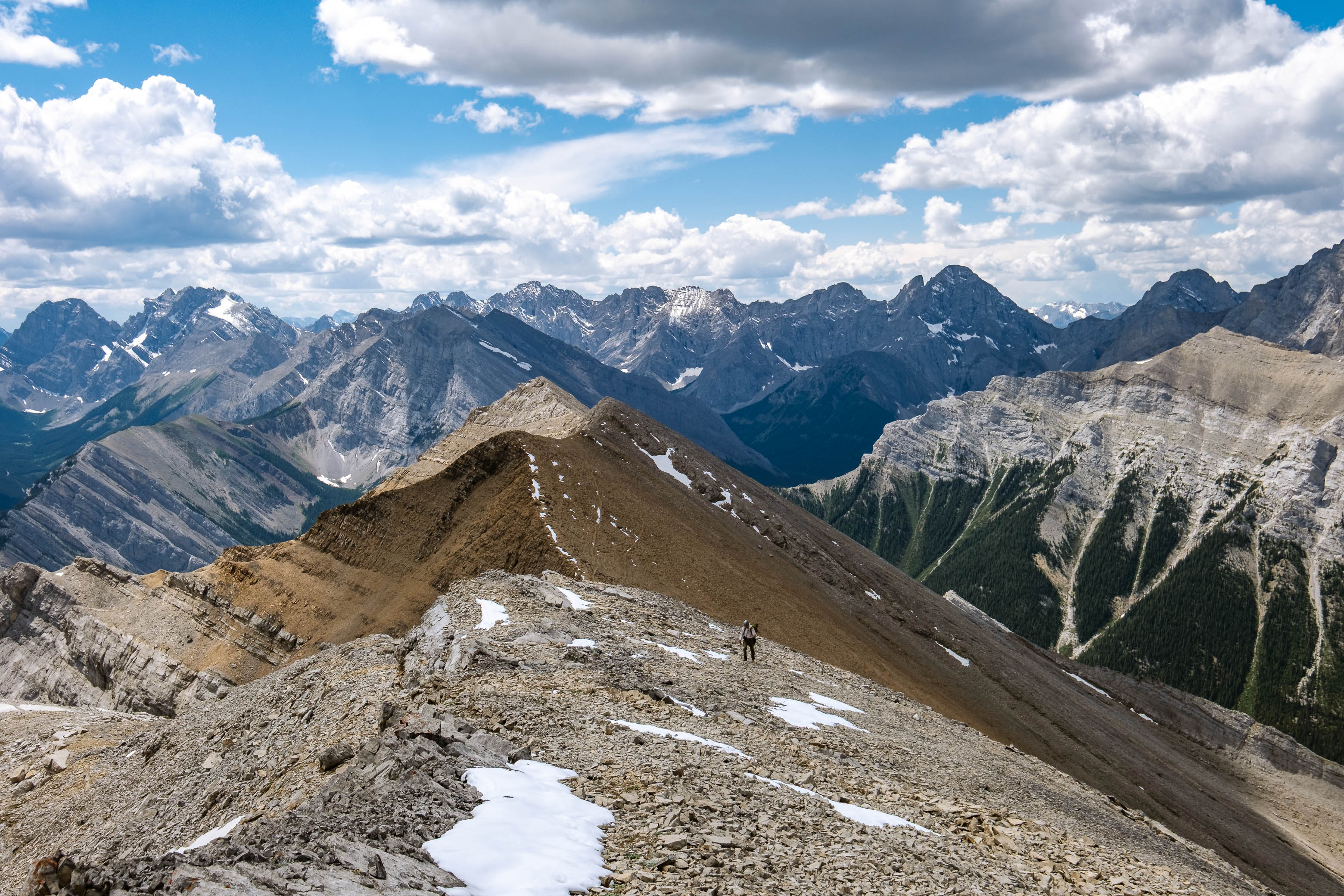
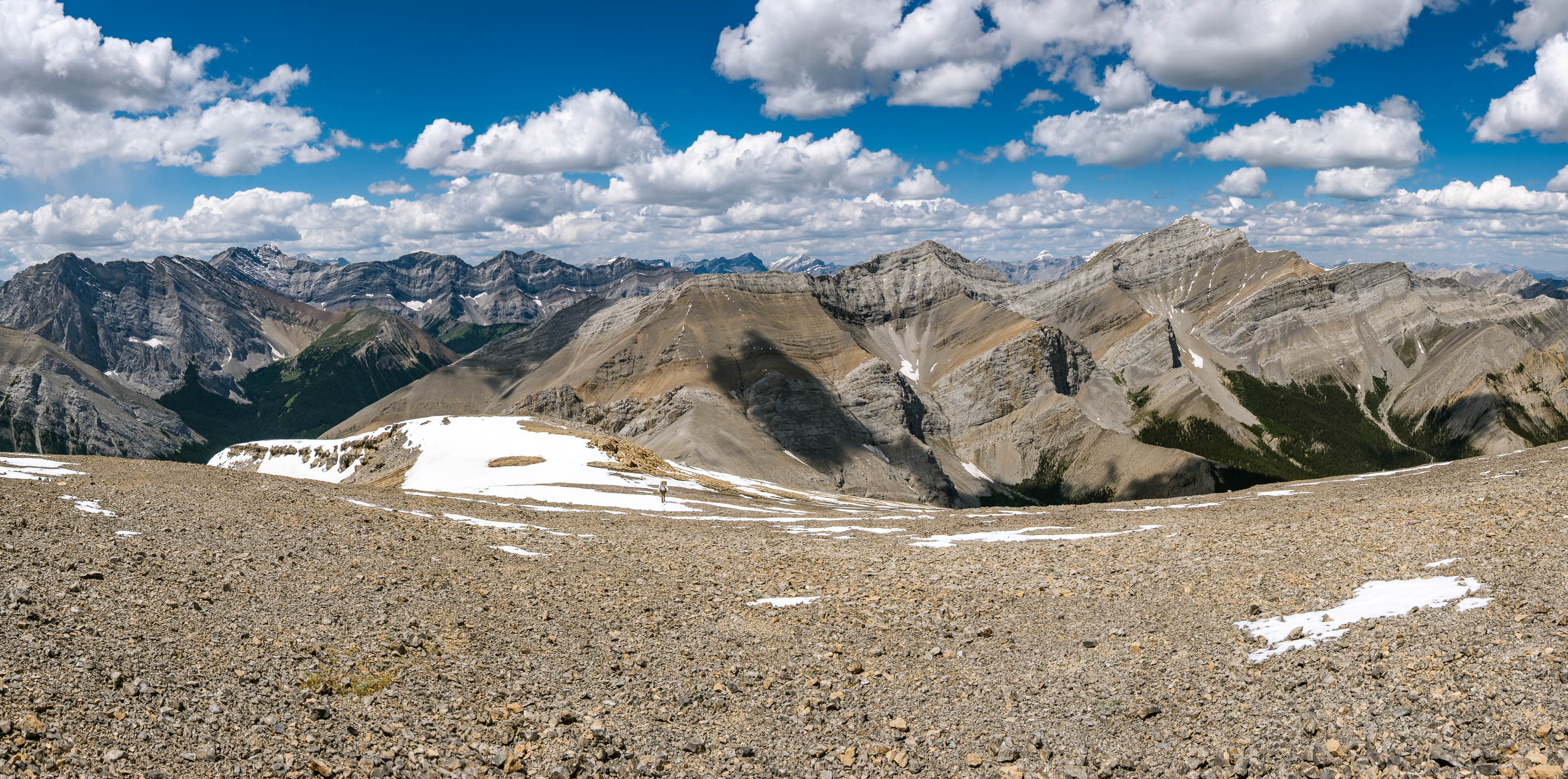
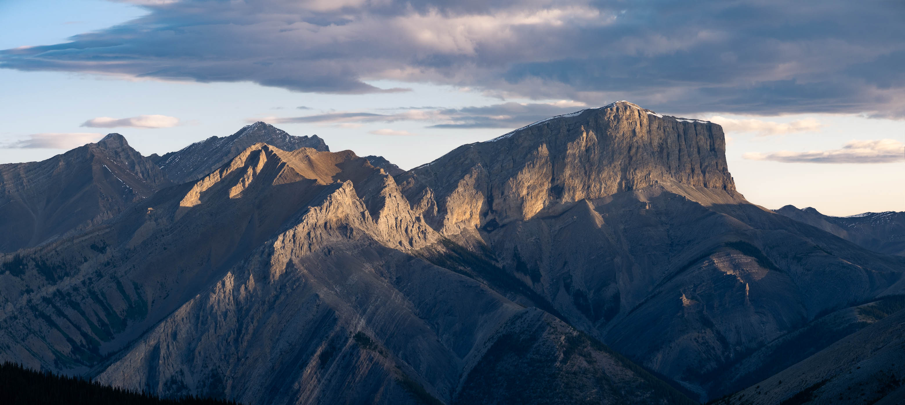
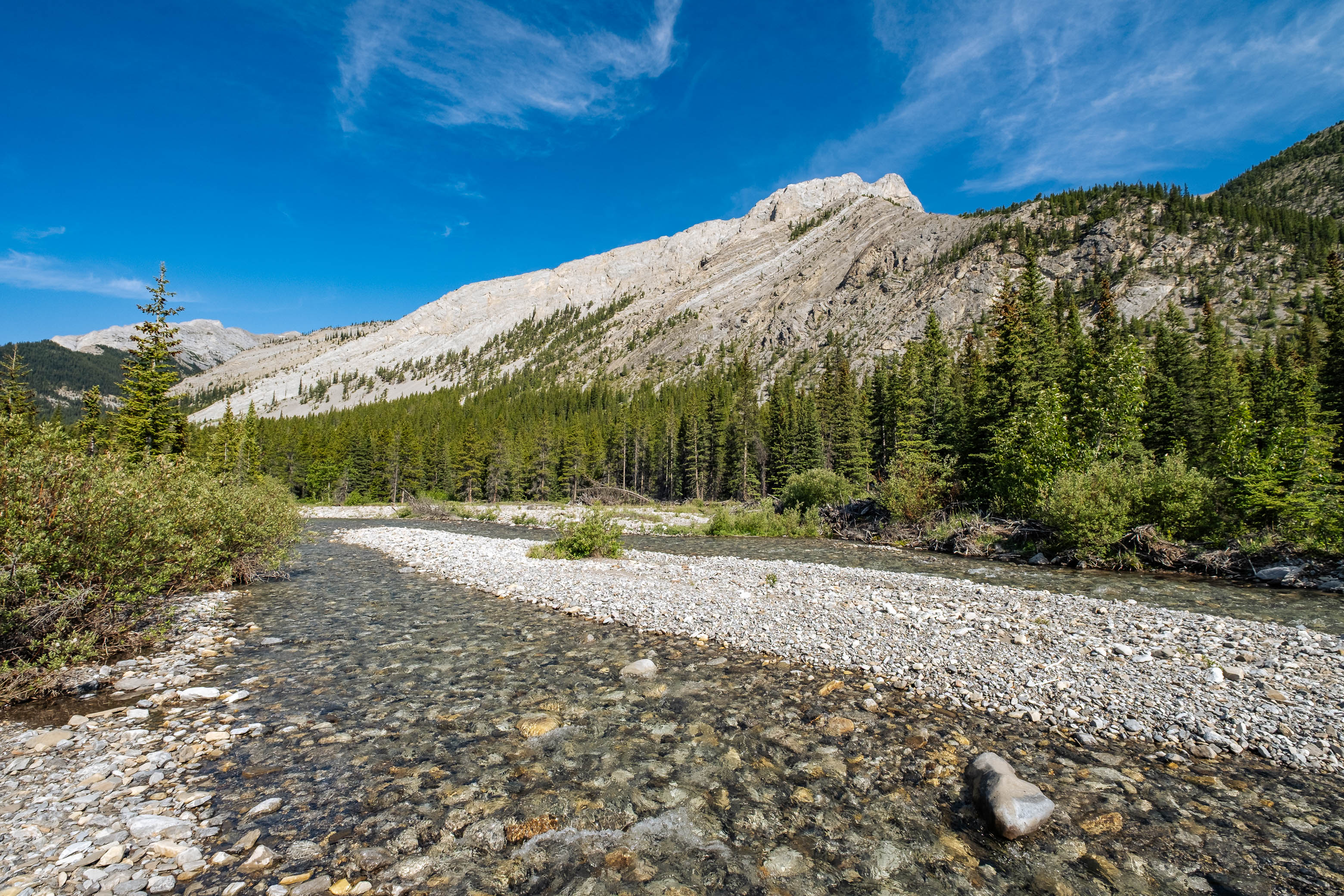
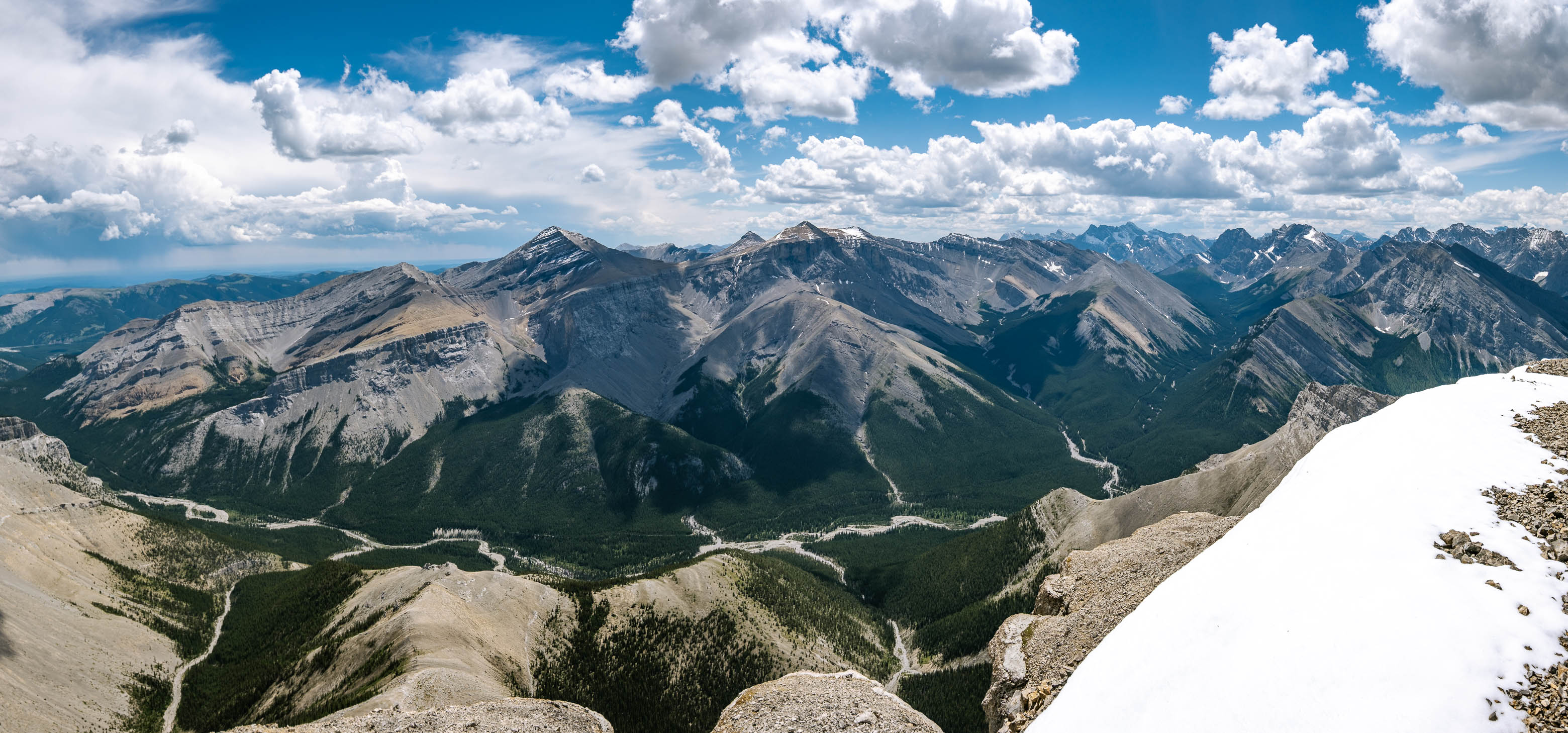
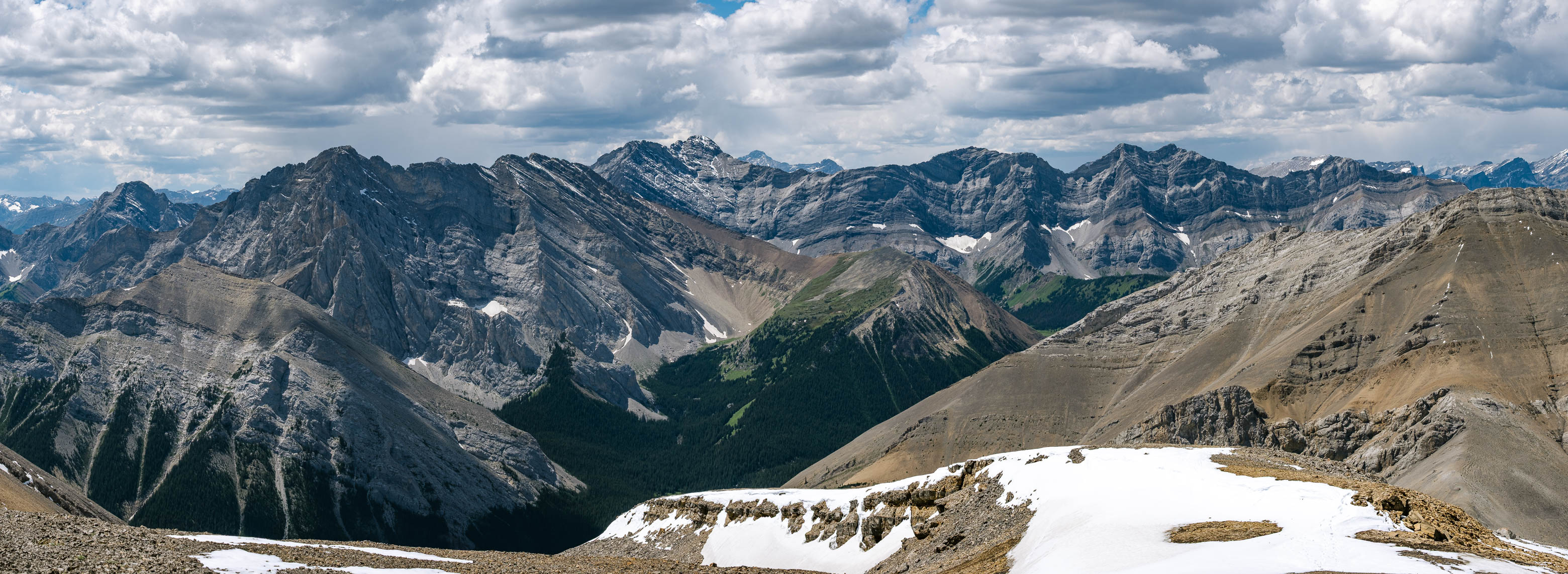
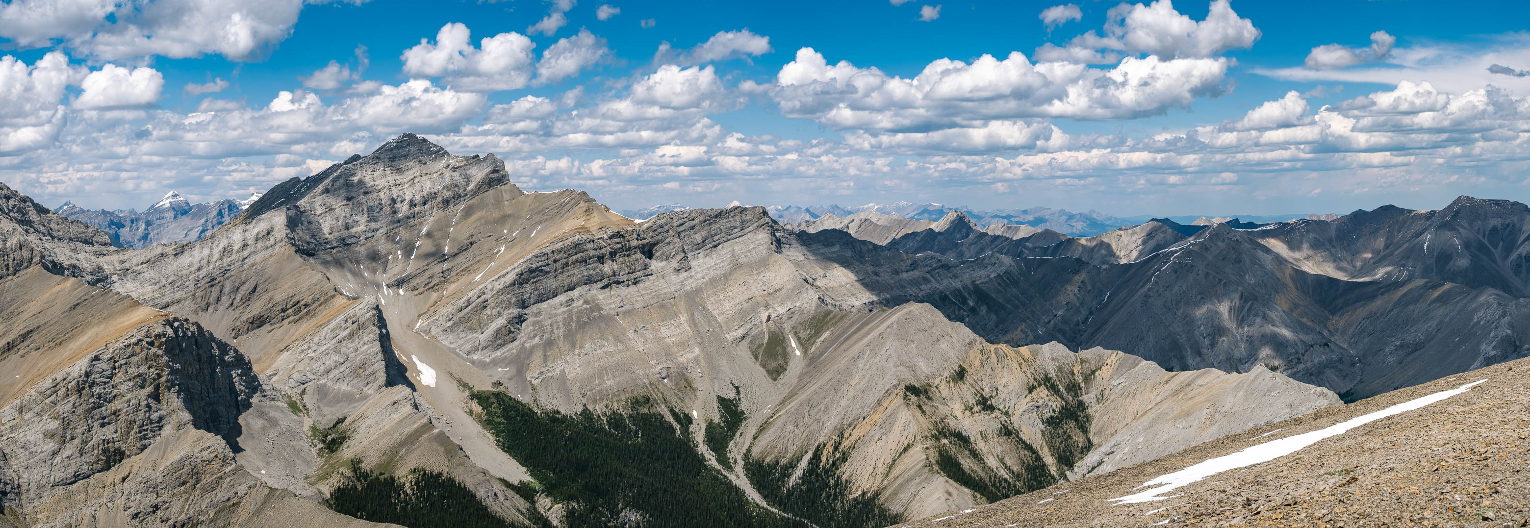
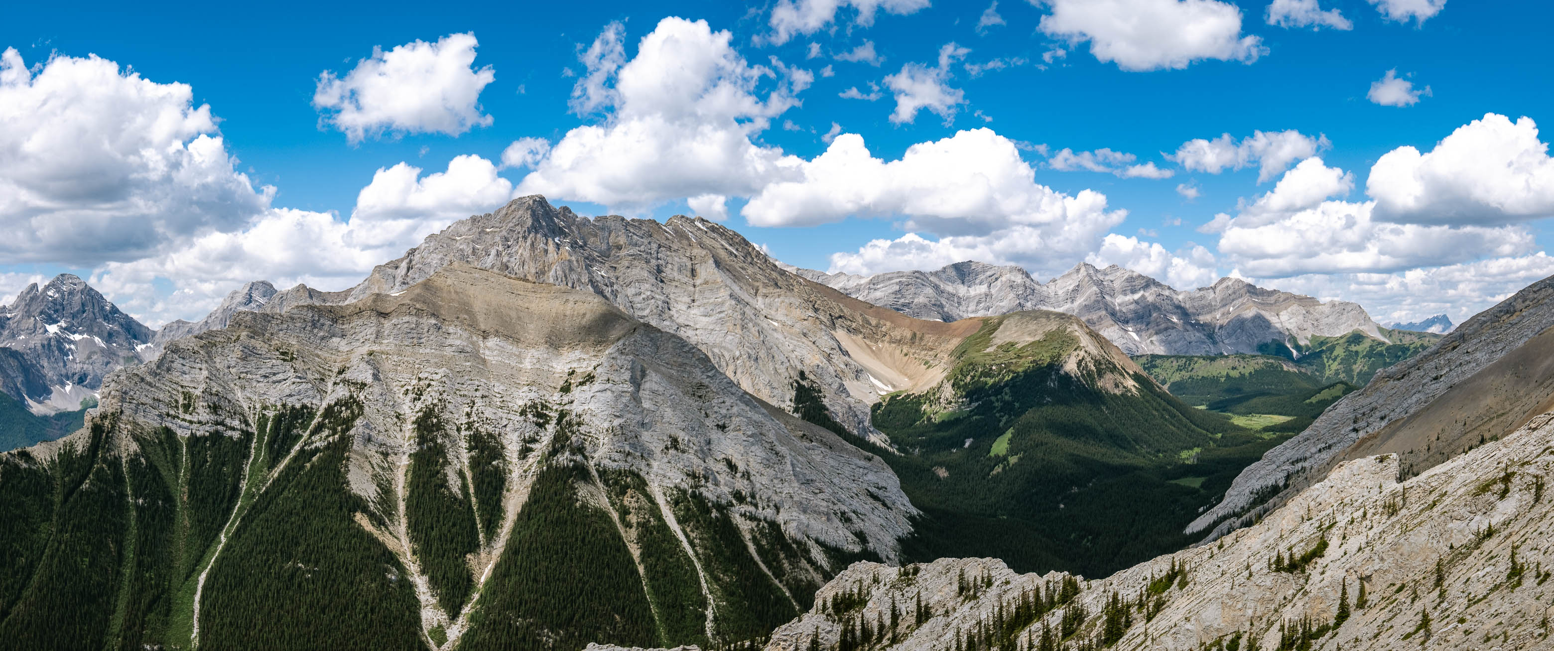
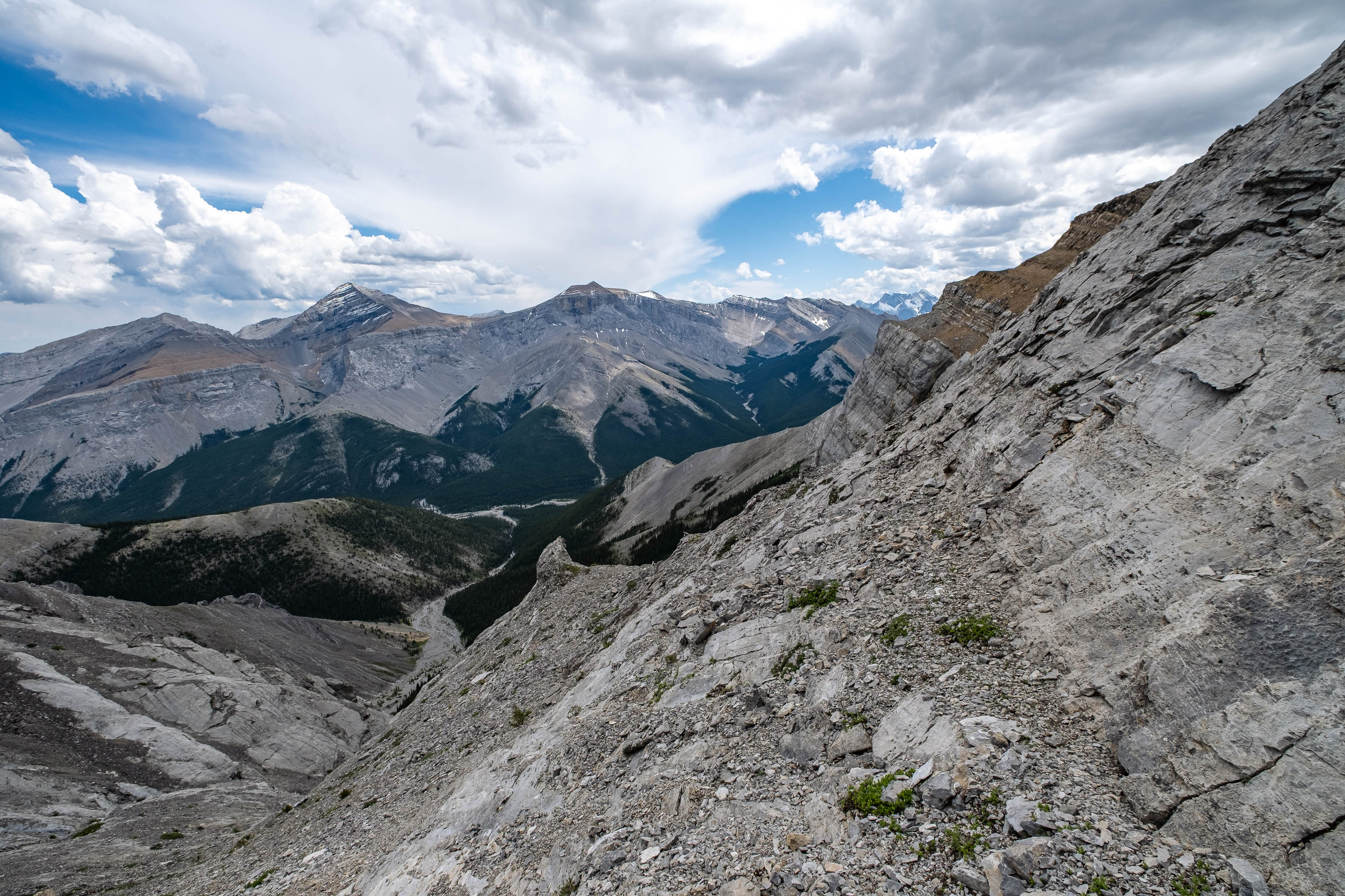
For our efforts we were granted an overview of the long traverse we completed the previous day, as well as an impressive view of the back/east side of the Opal Range, rearing up to the west. Giants such as Rae and the mighty Assiniboine were also visible on this clear day, but my favorite view was definitely that across to Romulus' little brother, Mount Remus, mirroring Romulus' sheer east face, with an impressive wall of its own!
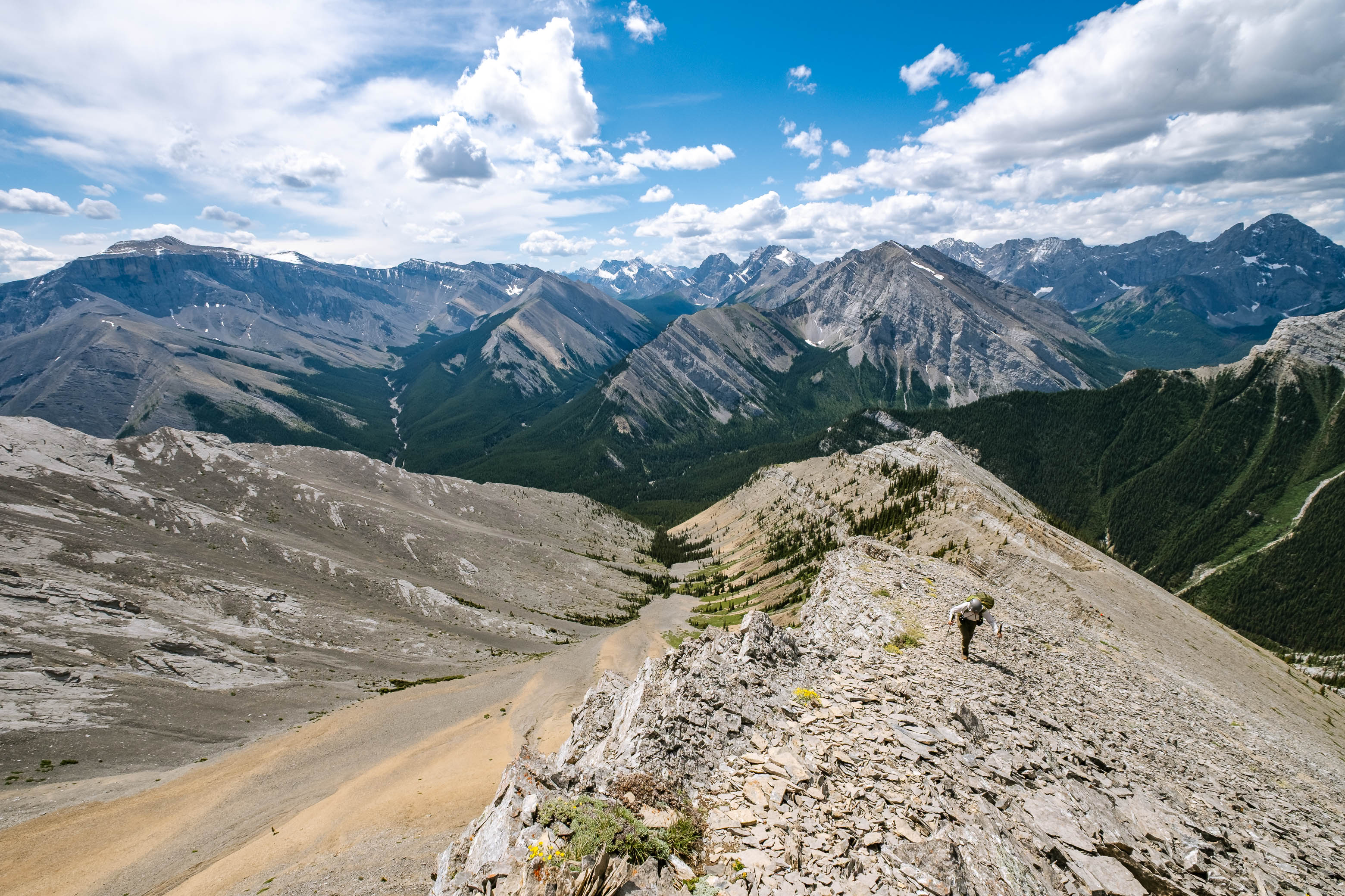
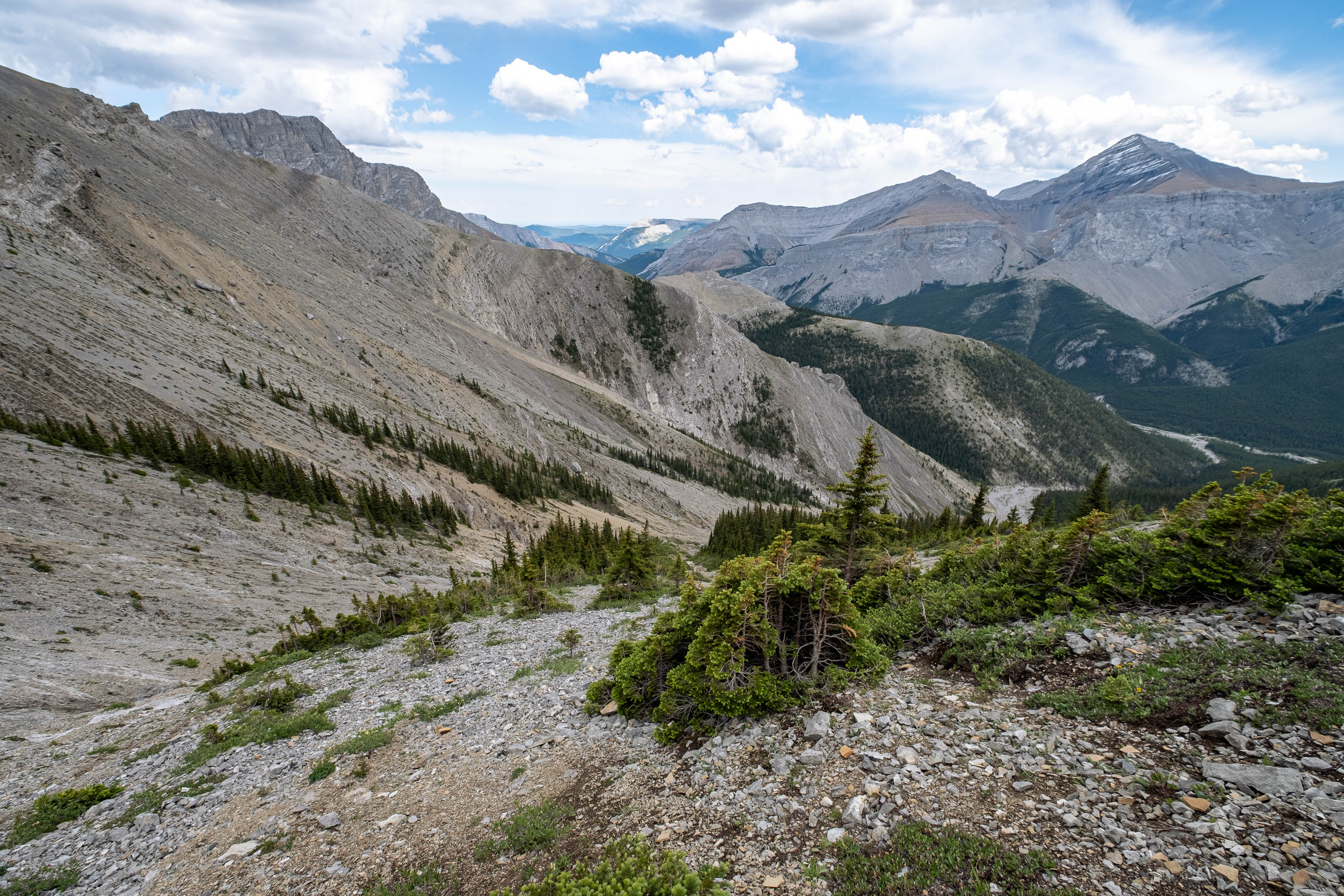
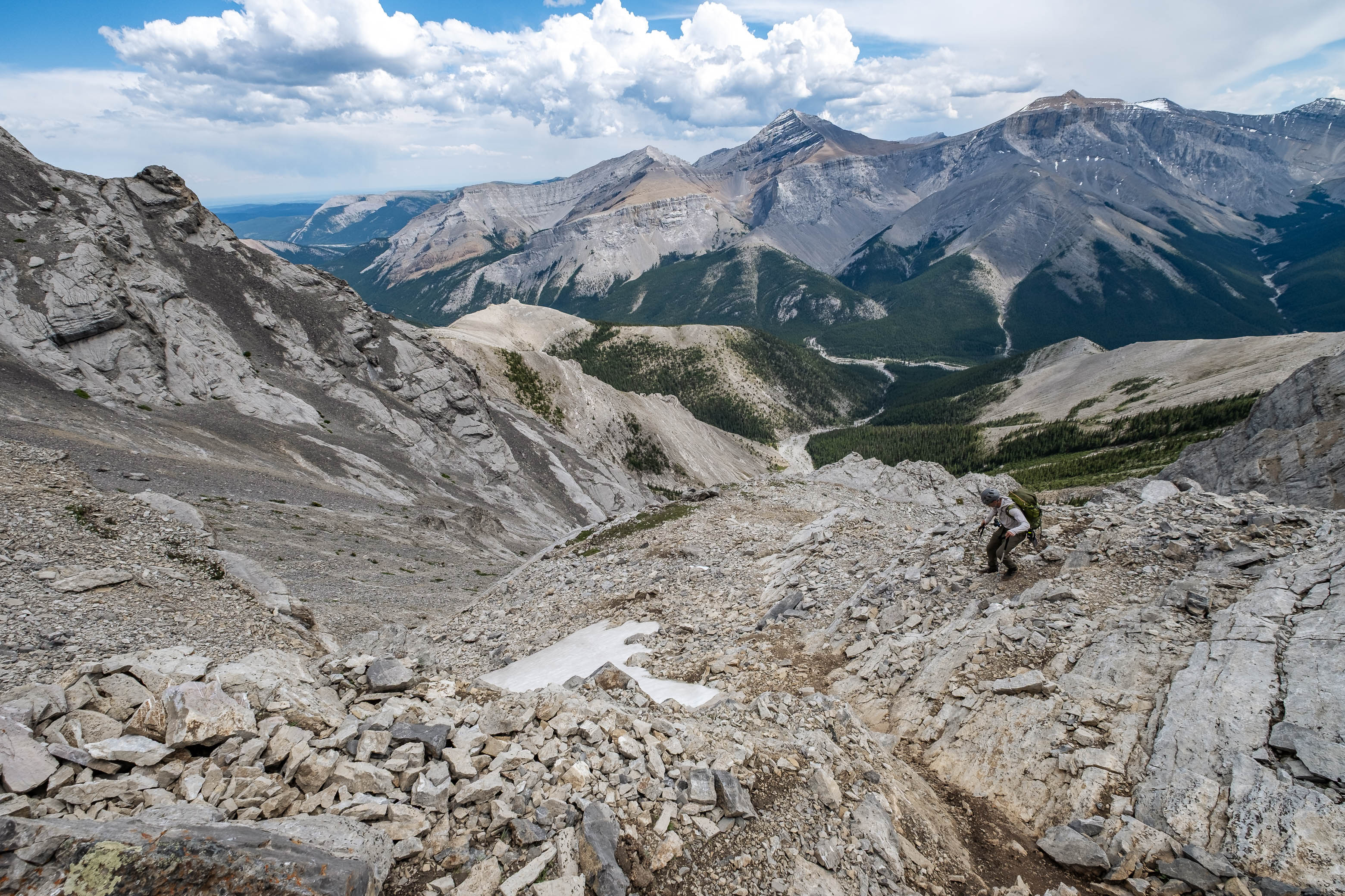
Eventually the other group joined us at the summit and after chatting for a bit while relaxing in the warm, afternoon sun and light, refreshing breeze, we started back down to the col. Since my dad and I had no need to go back to the Romulus Campground (our bikes were still at the Glasgow Trailhead afterall) we decided to take Bill Kerr's shortcut approach down. I didn't know much about this route - other than what is briefly mentioned by Kane - but I knew it would cut off 1.5 km of walking back down the road, and that was good enough for me!
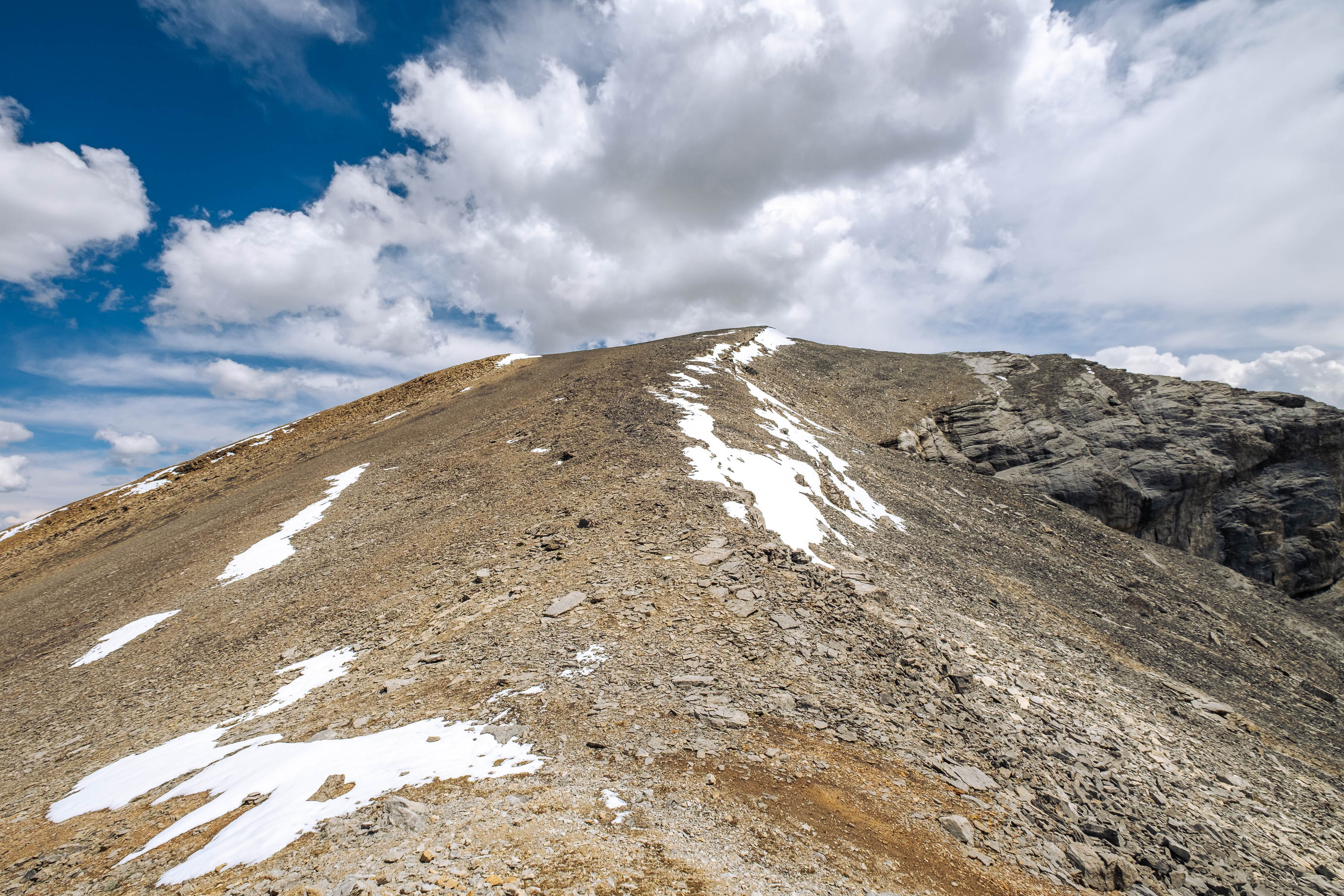
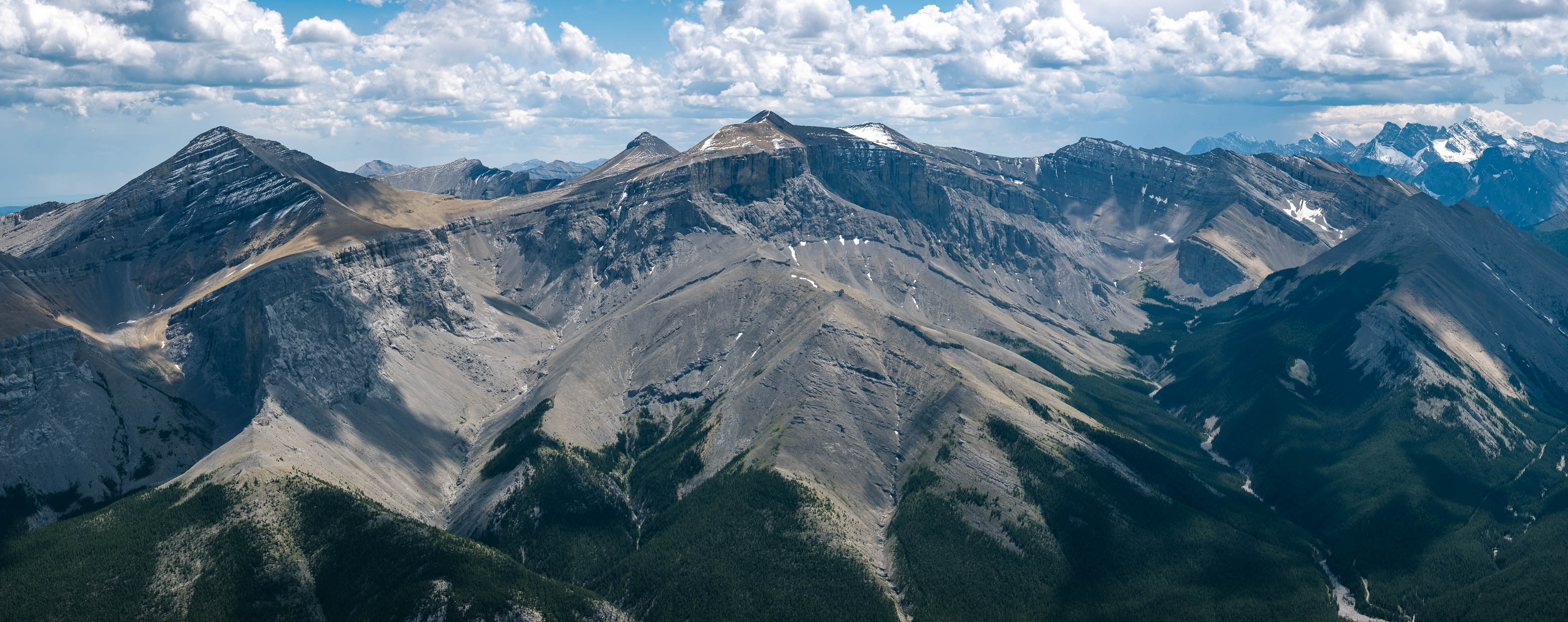
Kane notes that Kerr's shortcut route joins up with the south ridge at the "final dip before the summit", and while he's not technically wrong - and if you were ascending via this route you would top out pretty darn close to the low point - this description is a little misleading on descent. You actually want to leave the ridge slightly before (north of) arriving at the actual low point. If you continue right to the lowest point of the ridge, and then start down the scree bowl immediately to your left, you'll soon be standing at the edge of a massive cliff band, peering an airy ~ 50 m down to the descent drainage below. Yes, I speak from experience here...
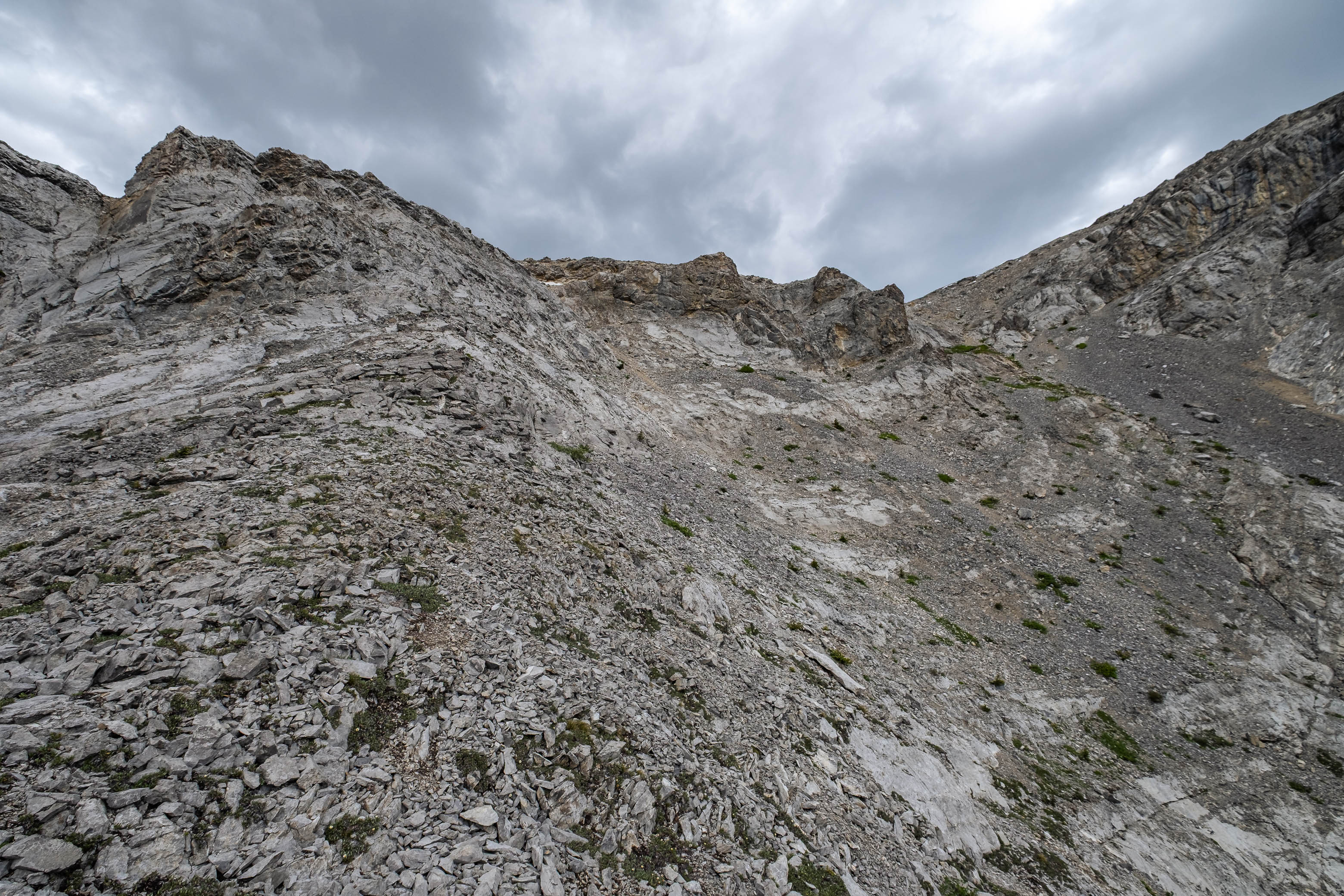
After ascending back to the ridge (luckily it was only possible to loose 50 m before realizing we messed up), we continued back up towards the summit for a few more meters before discovering a cairn marking the proper spot to leave the ridge. After descending a short, loose gully, we found ourselves on a bit of a ridge separating two much larger gullies, funneling down to the drainage far below. The gully on your right (skier's) is more like a scree ramp that angles down directly below the cliff band, and is the one you'll want to take.
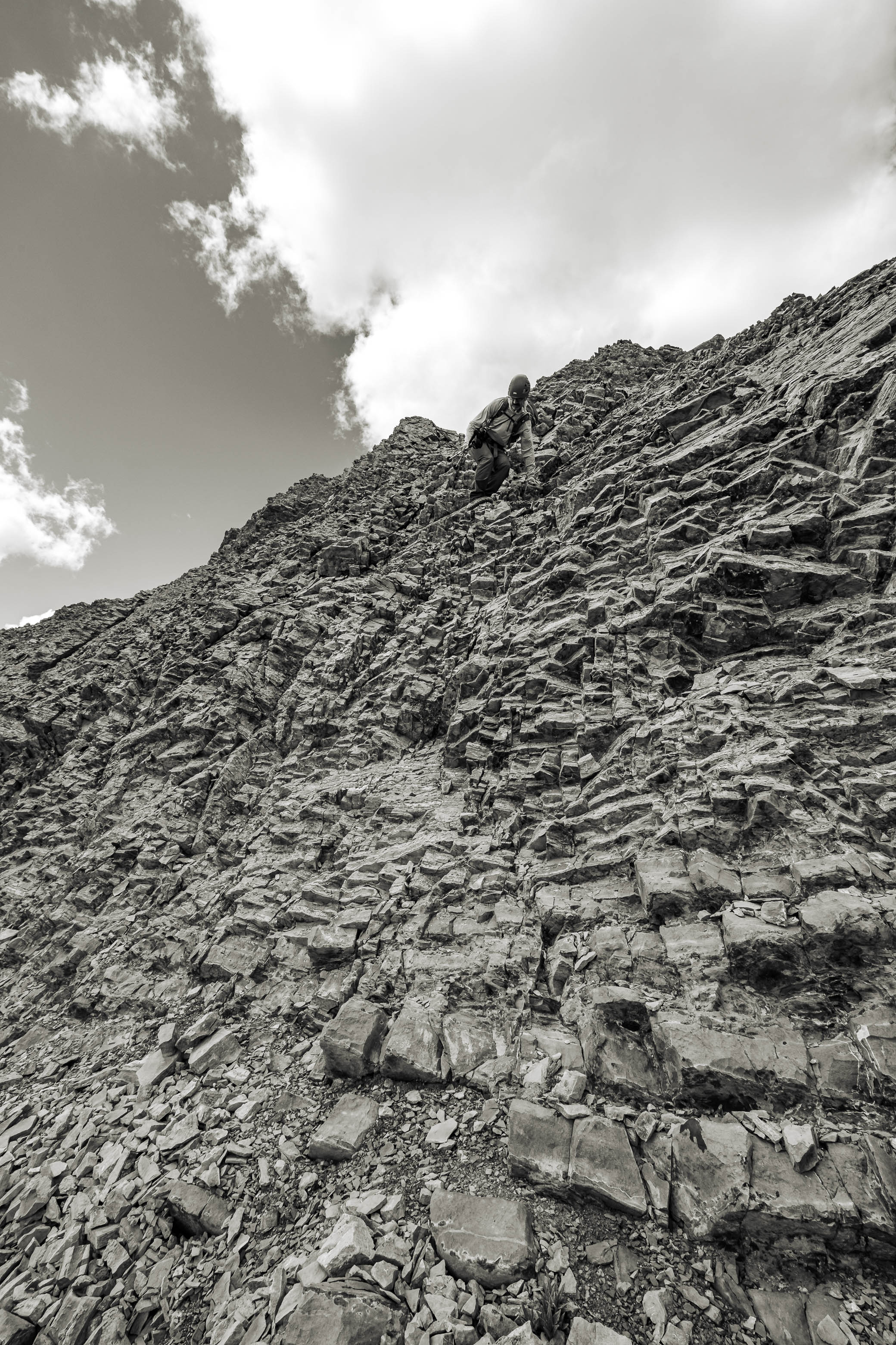
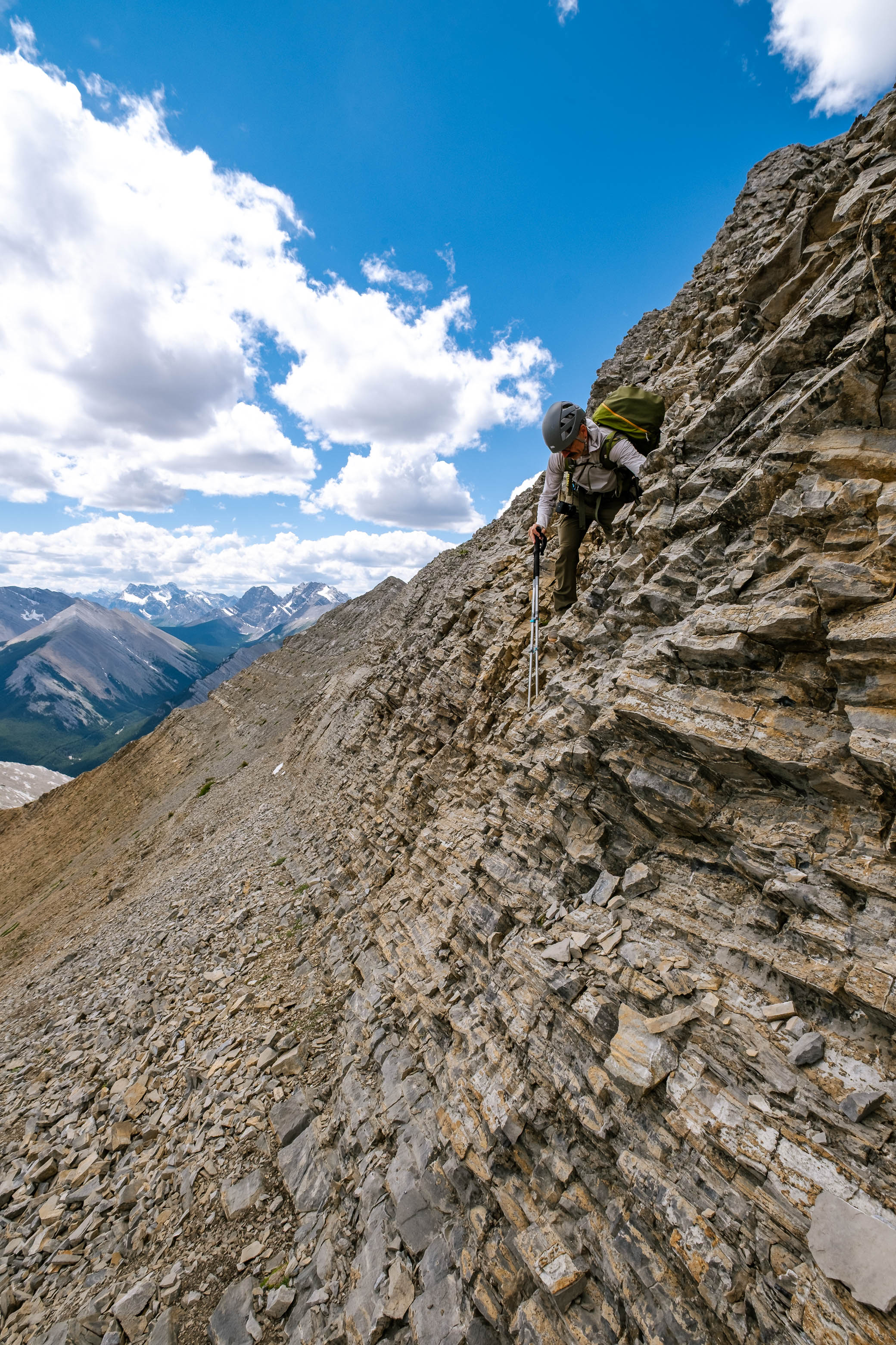
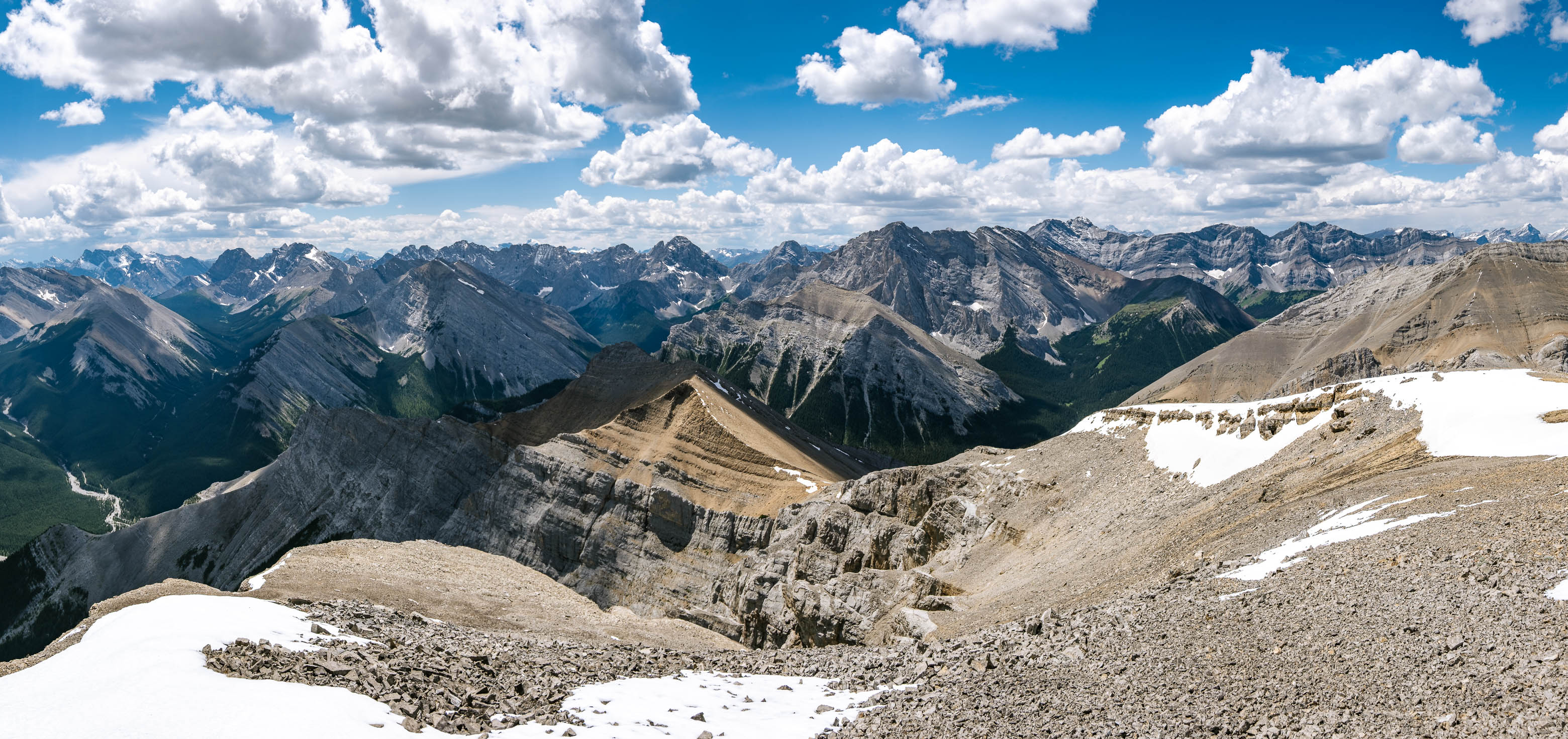
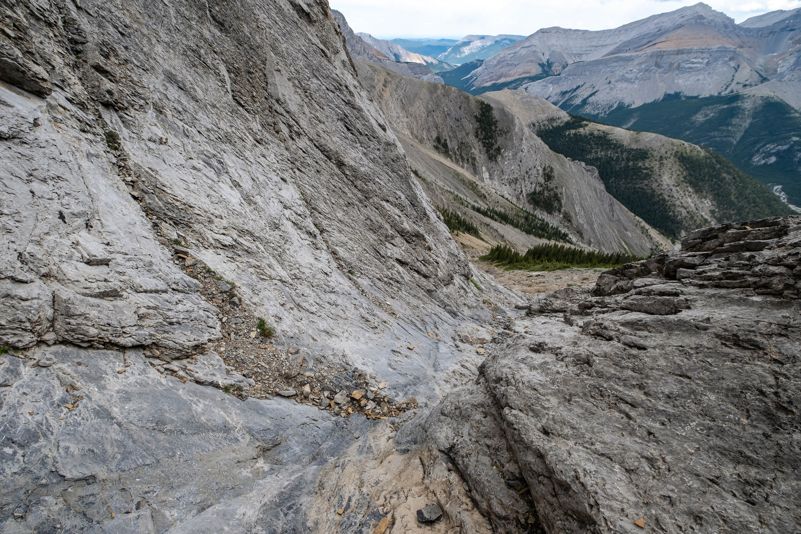
Once at the bottom of the ramp, we were able to start down the drainage, which presents a few challenges of its own! We initially tried descending directly in the middle of the narrow, waterworn gully, but a thin layer of dusty film on the smooth slabs made them very slippery underfoot. We didn't feel comfortable relying on the friction between our boots and these not-so-grippy slabs, so after carefully shuffling down the first step, we headed up onto the right side (skier's) of the drainage gully and downclimbed still somewhat slabby, but more step-like, terrain (moderate scrambling) until the slope eased off lower down. (Note: while very doable when the rock is dry, this is not a route I'd consider if it was snow-covered or raining!)
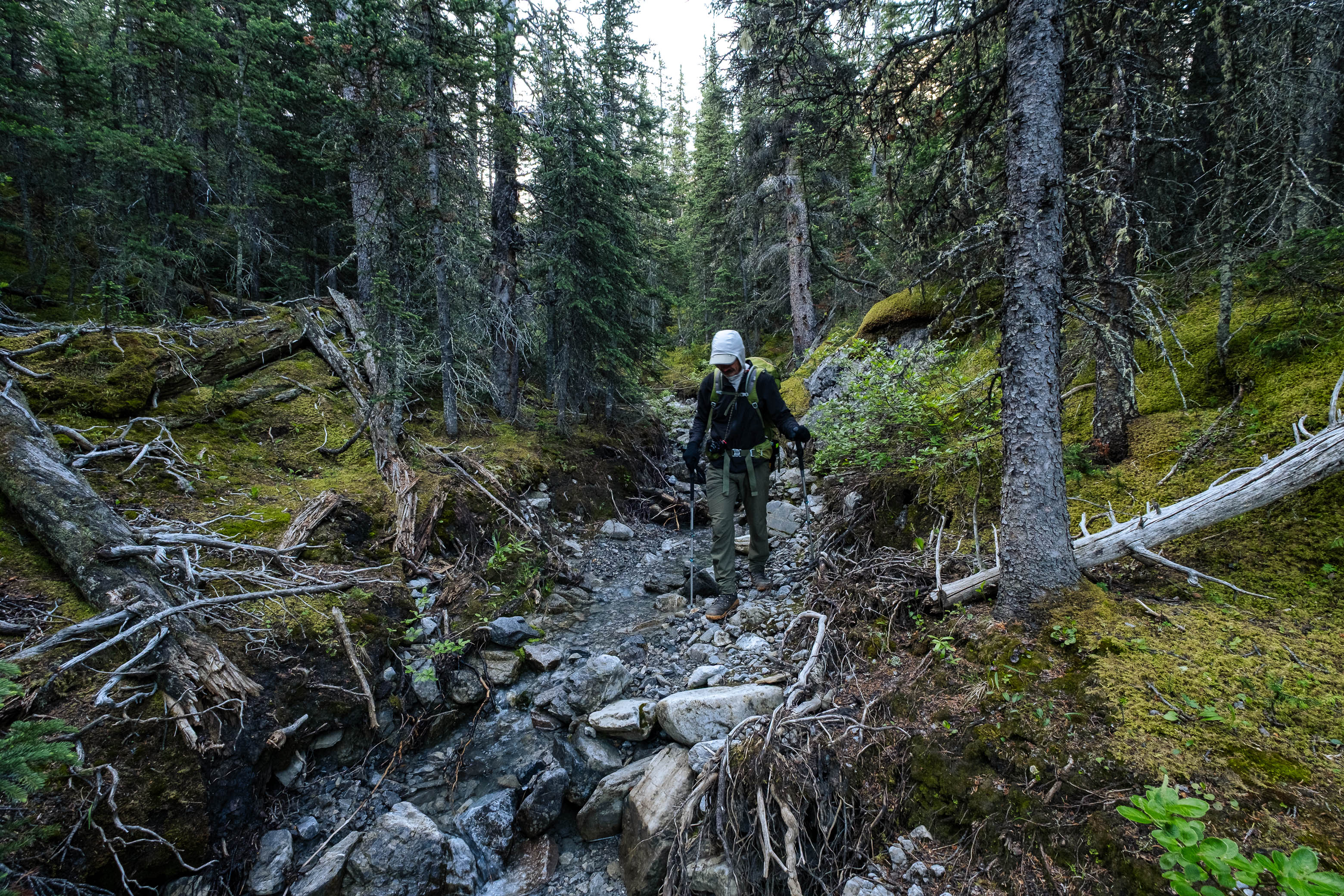
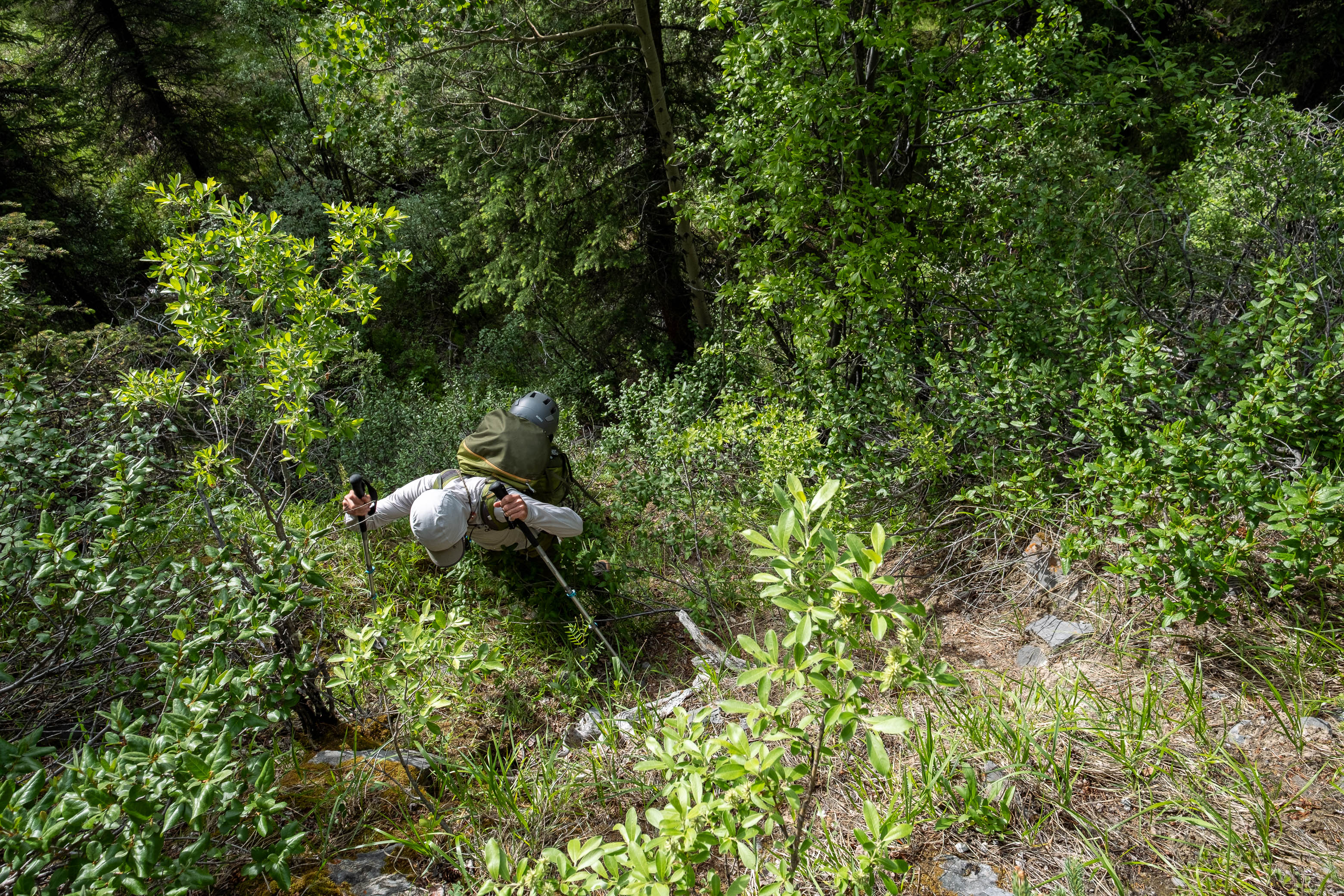
Back on easy ground, we continued down a bushy ridge, sandwiched between two drainages. Here we found better footing than in the loose, rubble-filled drainages on either side, and were soon down in the broad creekbed, boulder-hopping our way back to the Little Elbow River.
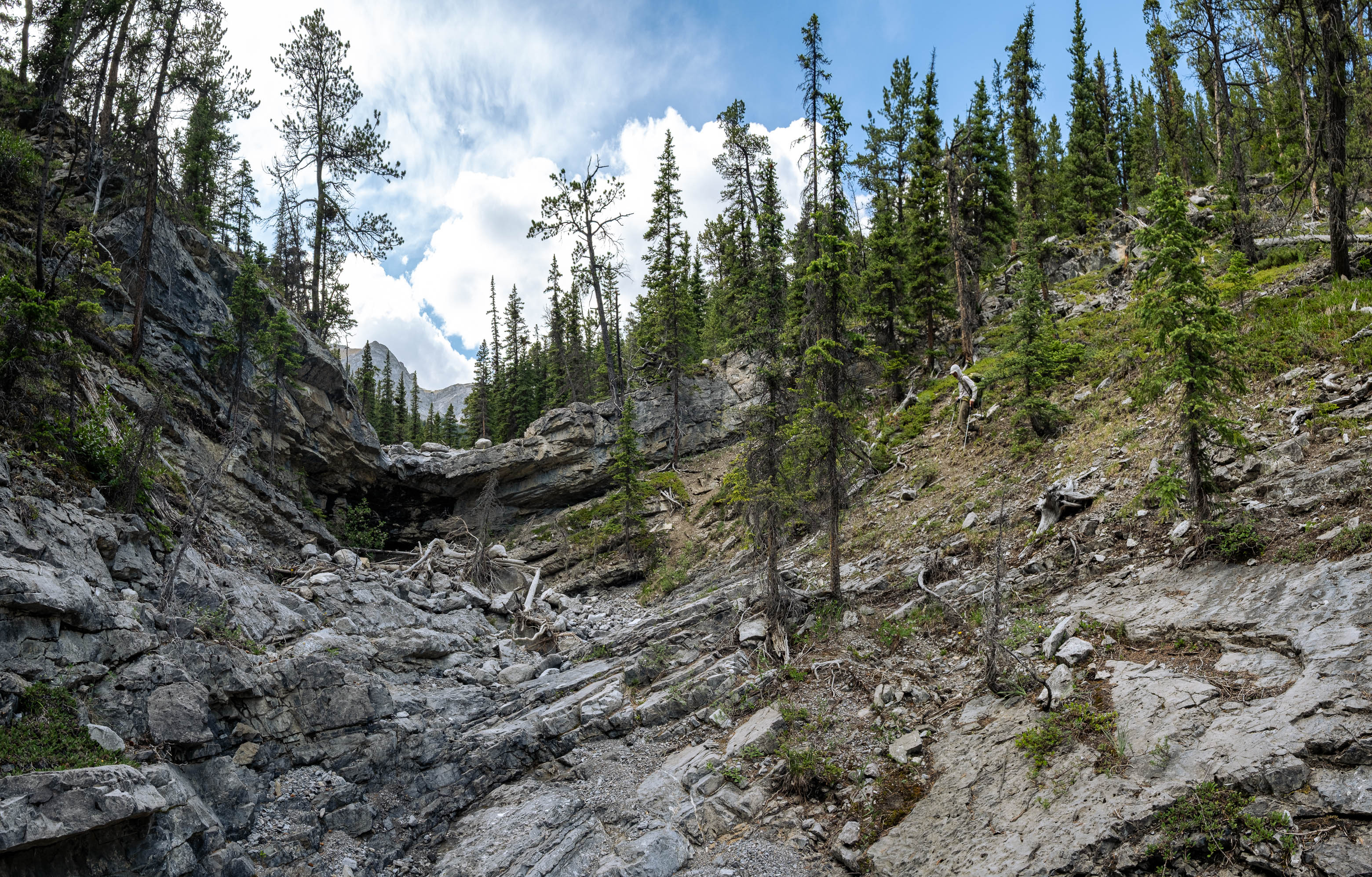
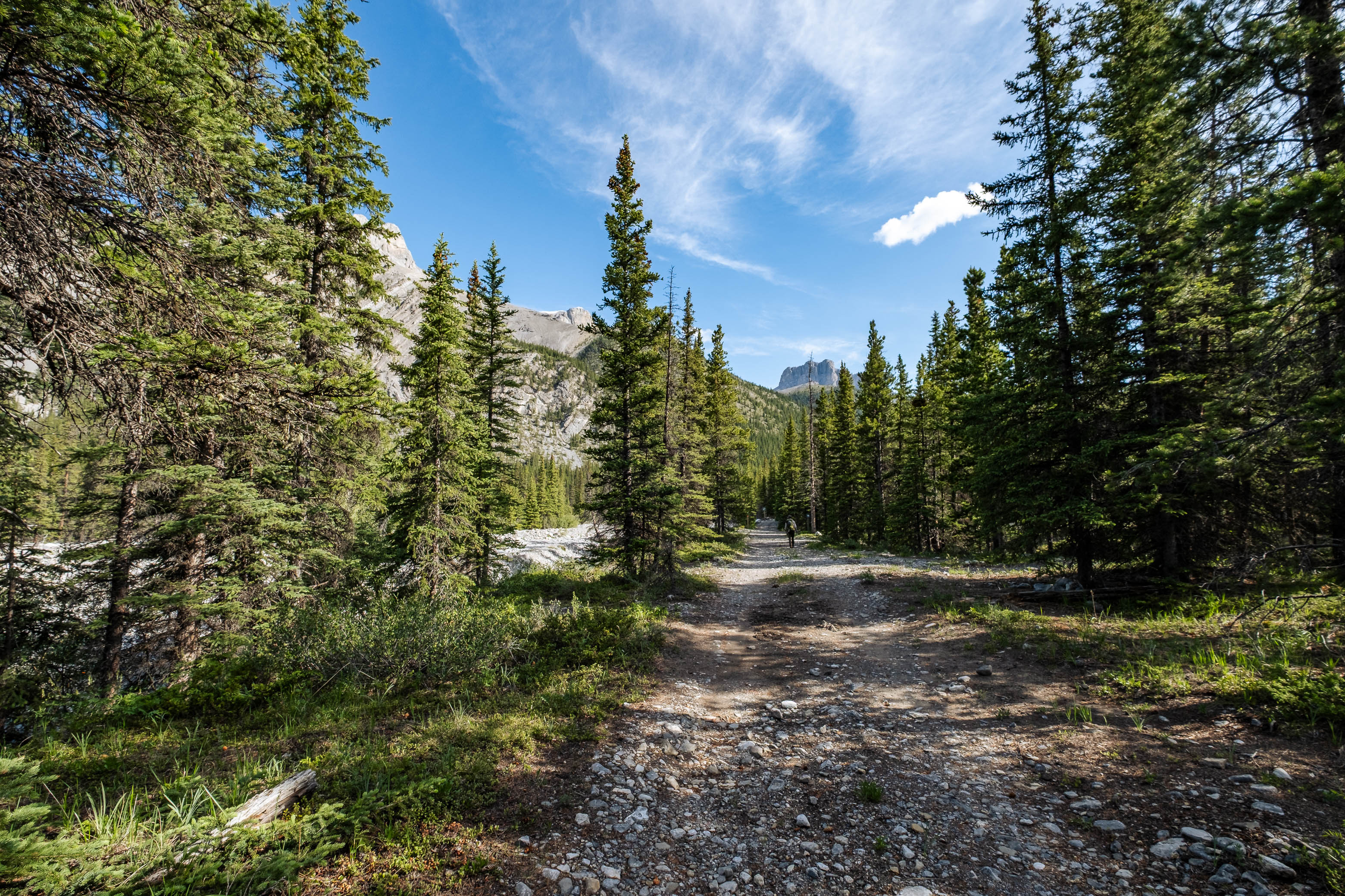
I expected these last few kilometers to be an uneventful, mindless trek, but the drainage made sure we didn't completely zone out! Further down, the creekbed narrows and becomes somewhat "canyon-like" with a series of overhanging cliffs that we had to detour around on the steep, dusty sides of the drainage - often on our left. After doing this three or four times, the drainage chilled out once again and we easily made our way down the final stretch to the Little Elbow, crossed back to the south side, and bushwhacked a short distance before arriving at the approach road.
Now all that was left was a 2 km walk to where we stashed our bikes, before starting up the final peak of our trip, Mount Remus!
Photo Gallery
Disclaimer